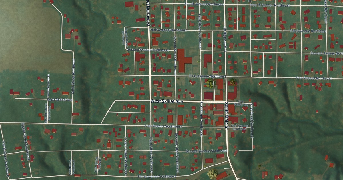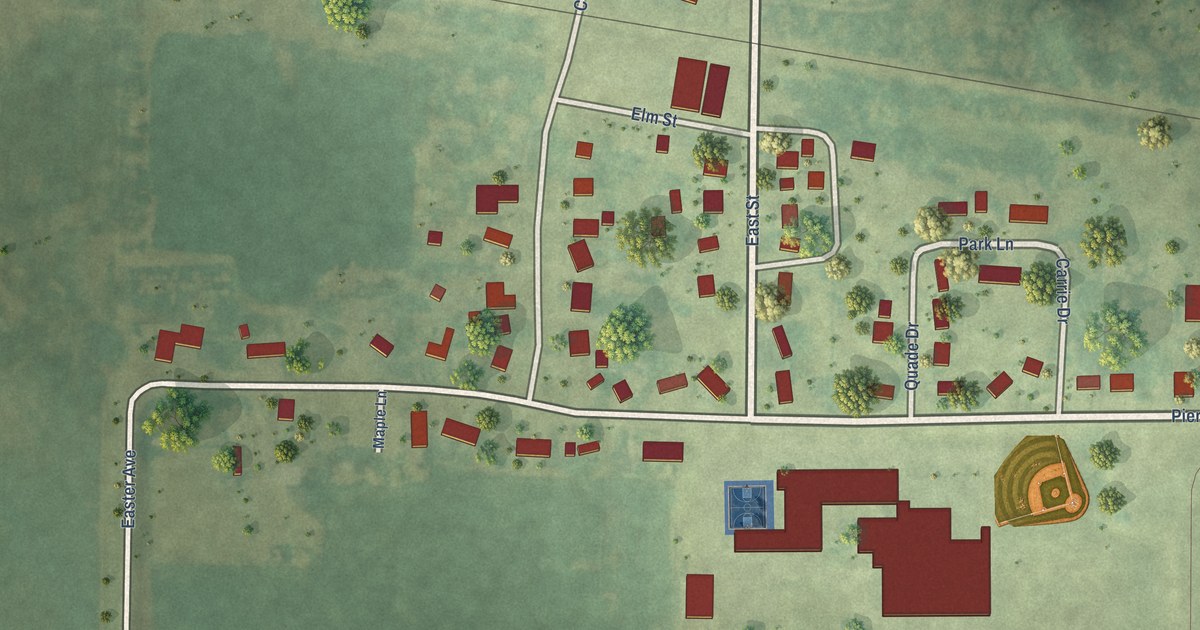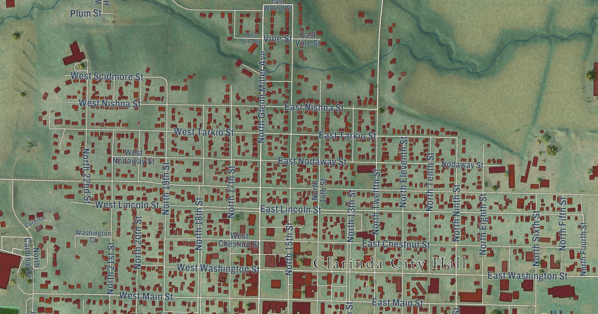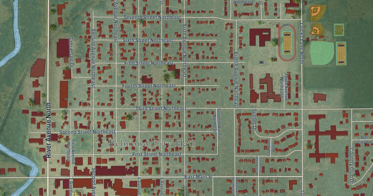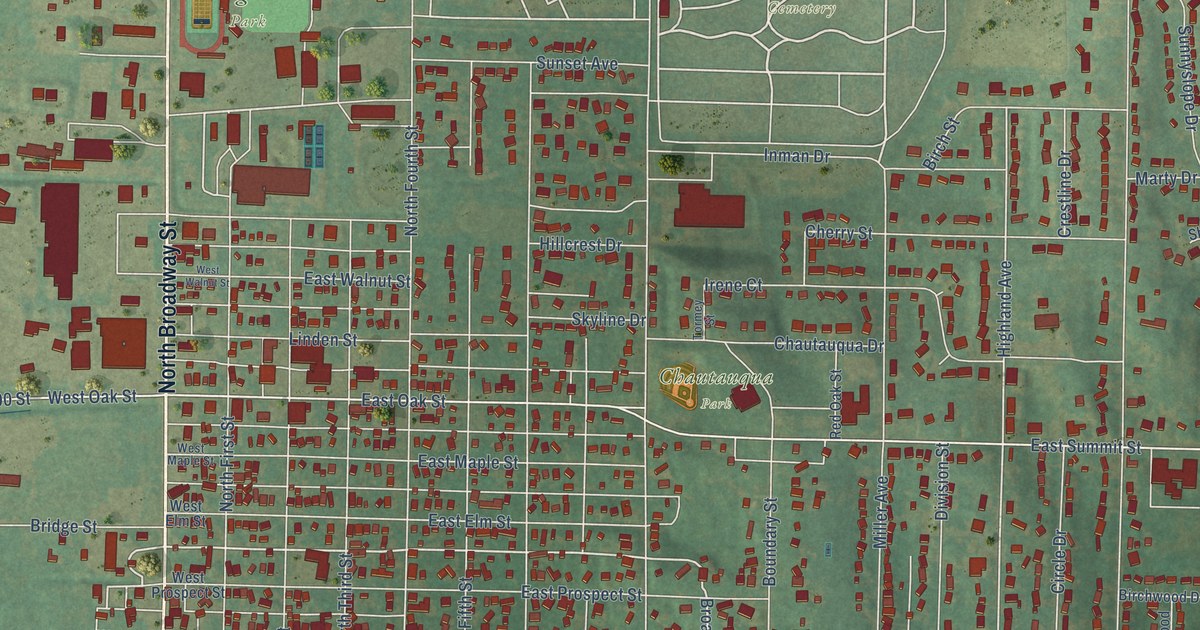
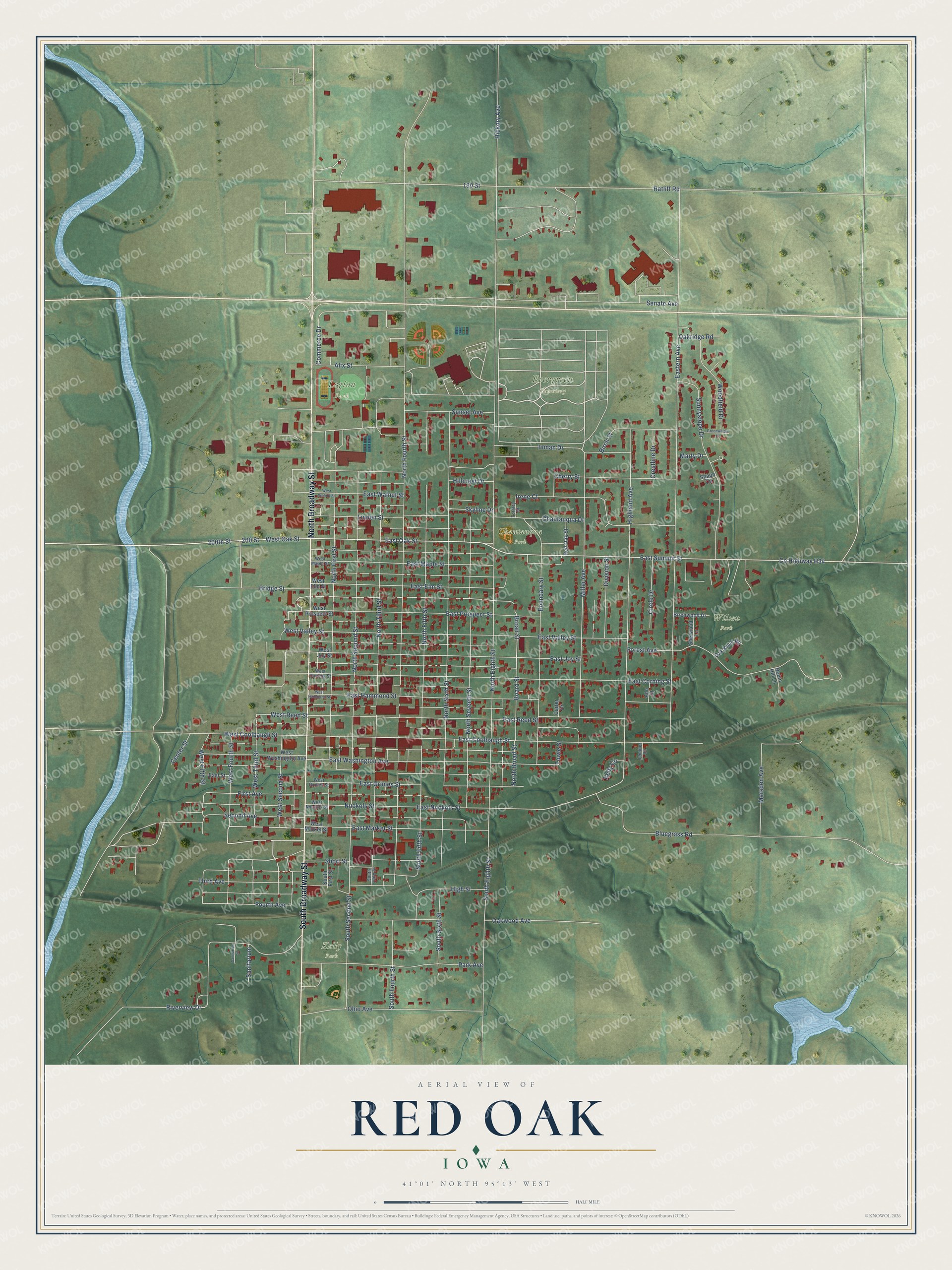
This beautifully detailed map of Red Oak, Iowa was created in 2026 using aerial imagery combined with modern topographical, census, street and landmark data. It's a modern aerial view of Red Oak in Montgomery County, Iowa, that combines modern data with a vintage aesthetic. The roads feature printed names, and if you look closely you can find your exact house accurately shown in its correct location.
Explore an aerial view of Red Oak, Iowa
On this map you'll find Evergreen Cemetery, Legion Park, Chautauqua Park, Kelly Park, Wilson Park, North Broadway Street, South Broadway Street, Bridge Street, Broad Street, Co Highway H34, 200th Street, East Summit Street, and more. Each red shape is a building, so zoom in on the preview and look for yours.
Every town has a first chapter, and Red Oak is no exception. The Internet Archive puts it this way: "Red Oak took its name from a beautiful grove of red
oak located near the present town site."
Red Oak is a city in Montgomery County. The Census Bureau counted 5,596 people here in 2020.
Take a closer look at the Red Oak map
Names on this map
These names are printed on this map.
Places: Evergreen Cemetery, Legion Park, Chautauqua Park, Kelly Park and Wilson Park.
Streets and roads: North Broadway Street, South Broadway Street, Bridge Street, Broad Street, County Highway H34, 200th Street, East Summit Street, North First Street, East Nuckols Street, East Market Street, Highland Avenue, West Oak Street.
More street names, A to Z
190 Street, 200 Street, Alix Street, Ann Street, Birch Street, Birchwood Drive, Bluegrass Road, Board Street, Boundary Street, Carter Drive, Center Street, Chautauqua Drive, Cherry Street, Circle Drive, Commerce Drive, Crestline Drive, Division Street, East Coolbaugh Street, East Corning Street, East Elm Street, Eastern Avenue, East Grimes Street, East Hammond Street, East Joy Street, East Maple Street, East Oak Street, East Prospect Street, East Reed Street, East Street, East Valley Street, East Walnut Street, East Washington Avenue, First Avenue, Forest Avenue, Fourth Avenue, Greenwillow Lane, Hickory Avenue, High Street, Hillcrest Drive, Inman Drive, Irene Court, Jennifer Circle, Kelly Circle, Linden Street, Marsden Avenue, Marty Drive, Miller Avenue, North Broad Street, North Eighth Street, North Fifth Street, North Fourth Street, North Second Street, North Seventh Street, North Sixth Street, North Third Street, Nuckols Street, Oak Knoll Road, Oakridge Road, Oakwood Avenue, Ohio Avenue, Park Avenue, Ratliff Road, Red Oak Street, Riverview Drive, Robin Hill Lane, Sanitarium, Sanitarium Street, Second Avenue, Senate Avenue, Shaun Circle, Sherwood Lane, Short Street, Skyline Drive, South Eighth Street, South Fifth Street, South First Street, South Fourth Street, South Second Street, South Sixth Street, South Third Street, Sunnyslope Drive, Sunset Avenue, Third Avenue, Tormey Street, Towle Street, West Coolbaugh Street, West Corning Street, West Elm Street, West Fifth Street, West Fourth Street, West Grimes Street, West Hammond Street, West Joy Street, West Maple Street, West Market Street, West Nuckols Street, West Prospect Street, West Reed Street, West Second Street, West Third Street, West Valley Street, West Walnut Street, West Washington Avenue, Woodfield Drive.
Created by KNOWOL in 2026. The buildings are small red shapes, the roads carry their printed names, and shaded relief shows the shape of the land. The title panel reads "AERIAL VIEW OF RED OAK IOWA" with 41°01' NORTH 95°13' WEST.
Hang it in the hallway, the office or the cabin, or give it to someone who left Red Oak and still calls it home. Open the preview and look for a street you know. See sizes and frames for the Red Oak map.