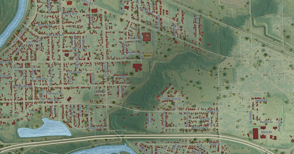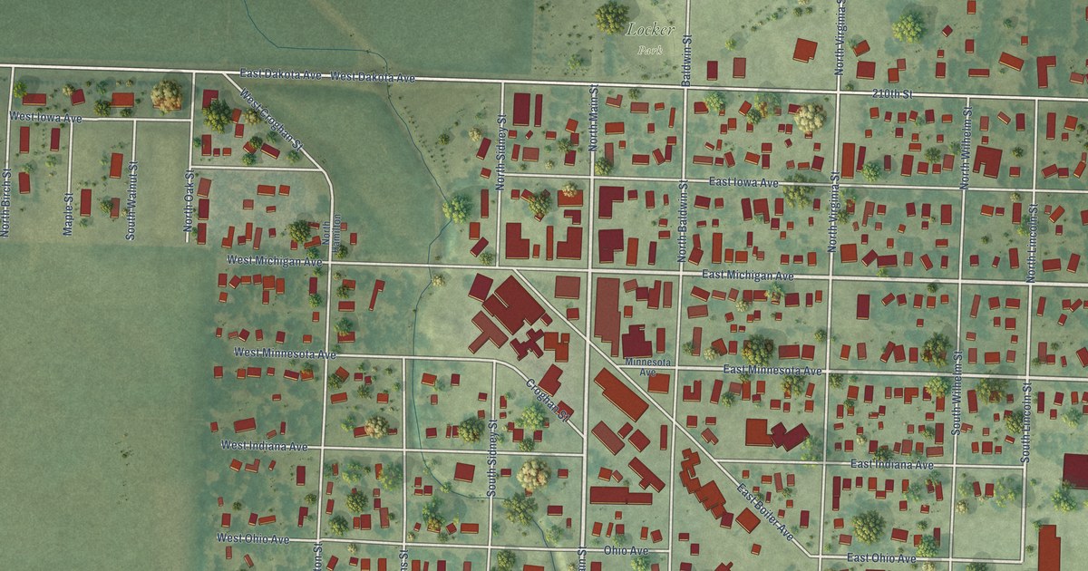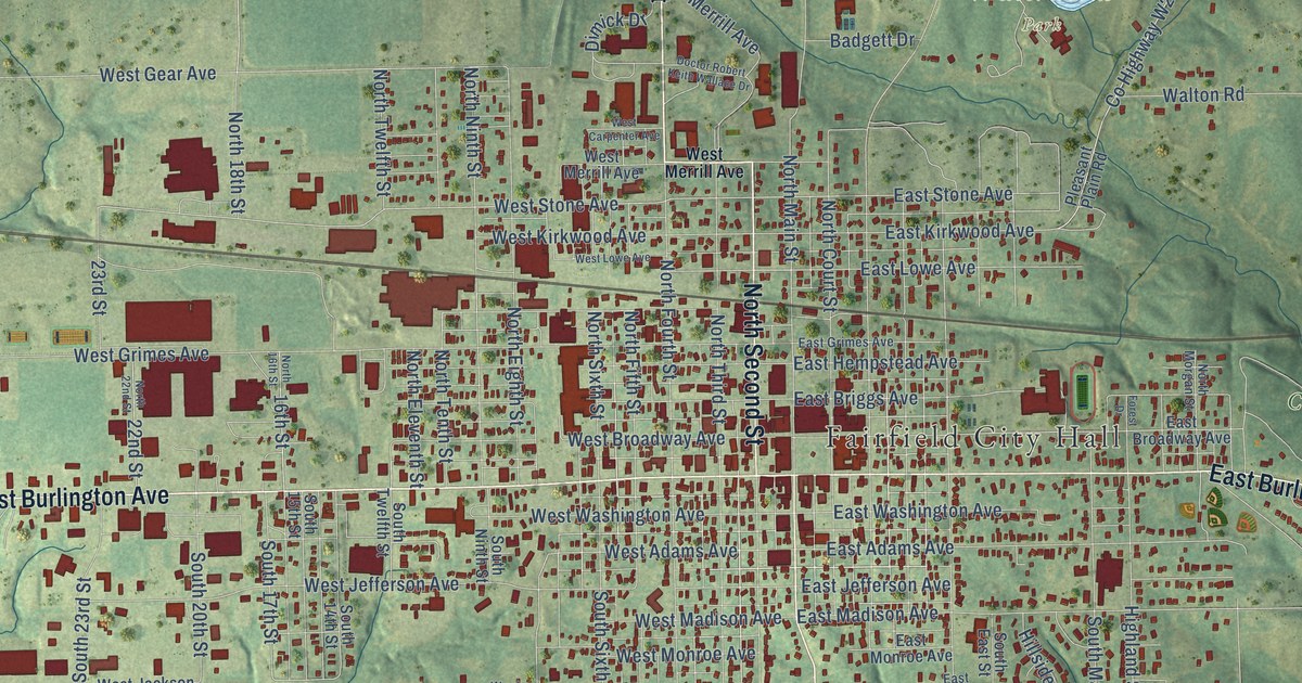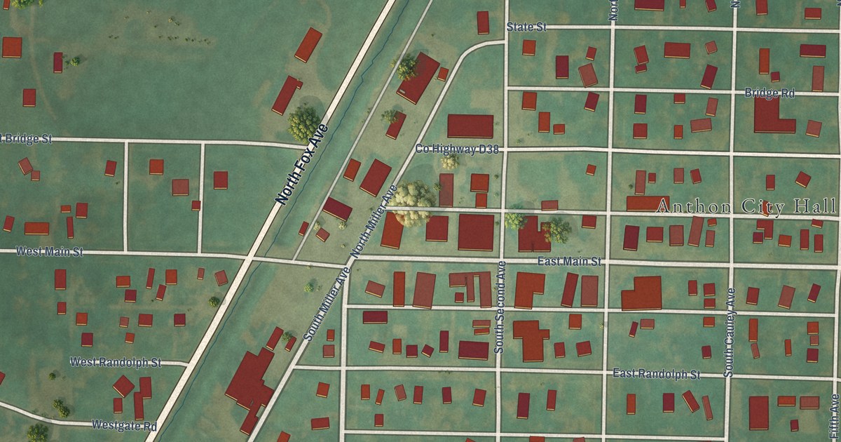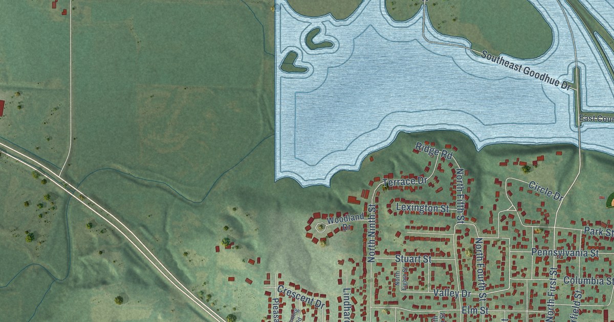
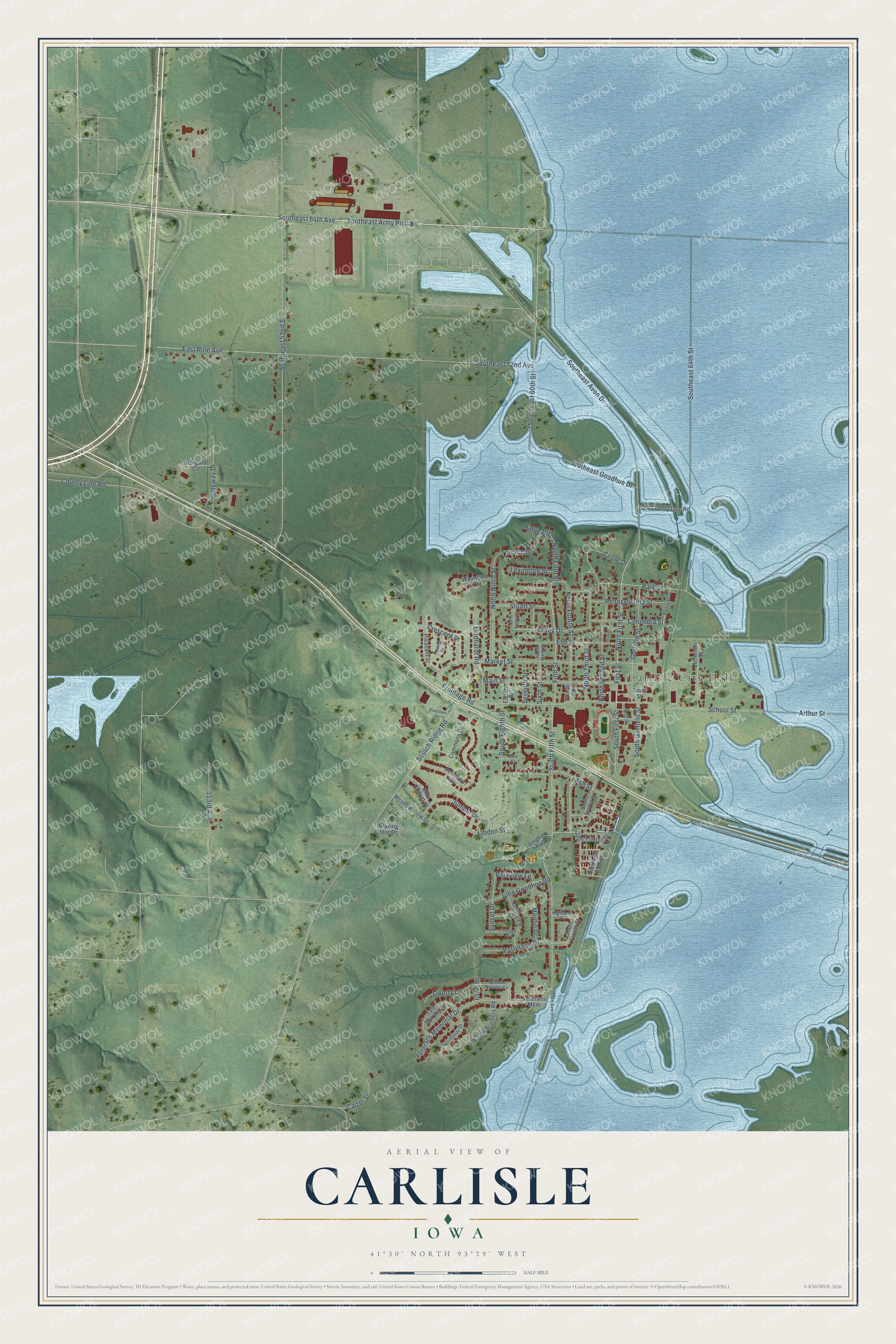
This beautifully detailed map of Carlisle, Iowa was created in 2026 using aerial imagery combined with modern topographical, census, street and landmark data. It's a modern aerial view of Carlisle in Warren County, Iowa, that combines modern data with a vintage aesthetic. The roads feature printed names, and if you look closely you can find your exact house accurately shown in its correct location.
Explore an aerial view of Carlisle, Iowa
On this map you'll find Carlisle City Hall, Lindhardt Park, Southeast 64th Avenue, Southeast Army Post Road, North First Street, First Street, Southeast 60th Street, North Third Street, Valley Drive, South Fifth Street, Circle Drive, Parkview Lane, and more. Each red shape is a building, so zoom in on the preview and look for yours.
Here is a piece of Carlisle history, in the words of the record. The History of Warren County puts it this way: "Carlisle was laid out in 1851 by Jerry Church and Daniel Moore. Mr. Church had laid out a town about two miles northeast of Carlisle, in Polk county, and when the floods of 1851 came (for that year was noted for floods) Mr. Church found his town under water, and moved to the present site of Carlisle."
Carlisle is a city in Warren County. The Census Bureau counted 4,160 people here in 2020.
Take a closer look at the Carlisle map
Names on this map
These names are printed on this map.
Places: Carlisle City Hall, Lindhardt Park and Lindhart Park.
Streets and roads: Southeast 64th Avenue, Southeast Army Post Road, North First Street, First Street, Southeast 60th Street, North Third Street, Valley Drive, South Fifth Street, Circle Drive, Parkview Lane, Fifth Street, Terrace Drive.
More street names, A to Z
153rd Avenue, 165th Avenue, Arthur Street, Ash Street, Bellflower Drive, Blazing Star Drive, Blue Bonnet Drive, Bluestem Drive, Carter Street, Cole Street, Columbia Street, Commons Drive, County Line Road, Crescent Drive, Crestview Drive, East County Line Road, East Pine Avenue, Eighth Street, Elm Street, Fleming Road, Fourth Street, Frontage Road, Garfield Street, Gateway Drive, Grant Street, Hardin Drive, Highland Place, Irwin Drive, Jefferson Street, John Clinton Drive, John Goodhue Road, Juniper Drive, Lexington Street, Liberty Lane, Linden Street, Lindhardt Road, Lyle Murphy Drive, Main Street, Market Street, Meadow View Drive, Norgard Circle, Normandy Drive, Northeast 25th Street, North Eighth Street, North Fifth Street, North Fourth Street, North Ninth Street, North Second Street, North Sixth Street, Park Street, Patterson Drive, Pennsylvania Street, Pleasant Street, Railroad Street, Ridge Road, School Street, Scotch Ridge Road, Seventh Street, Sixth Street, Southeast 52nd Street, Southeast 64th Street, Southeast 72nd Avenue, Southeast Avon Drive, Southeast Goodhue Drive, South Eighth Street, South First Street, South Fourth Street, South Garfield Street, South Second Street, Stuart Street, Sunridge Drive, Sunset Drive, Veterans Mem, Veterans Memorial Drive, Vine Street, Walter Brothers Road, William Nowels Circle, Woodland Drive.
Created by KNOWOL in 2026. The buildings are small red shapes, the roads carry their printed names, and shaded relief shows the shape of the land. The title panel reads "AERIAL VIEW OF CARLISLE IOWA" with 41°30' NORTH 93°29' WEST.
It suits a den, a classroom or a front hall, and it makes a gift for anyone with Carlisle roots. Open the preview and find the block you know. See sizes and frames for the Carlisle map.