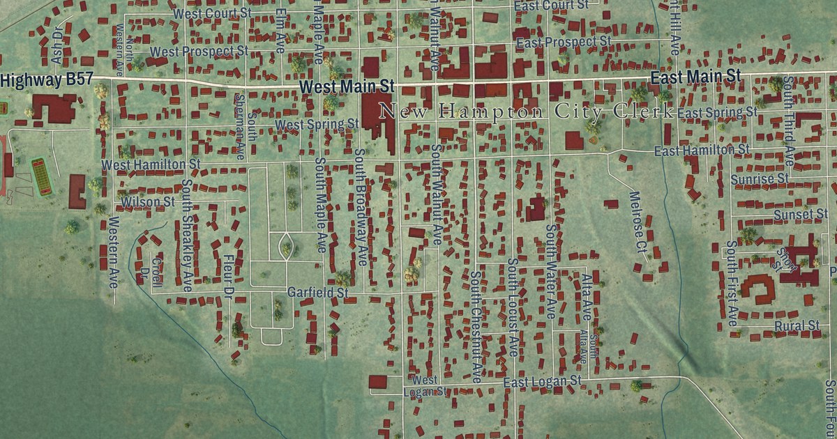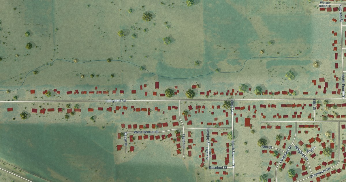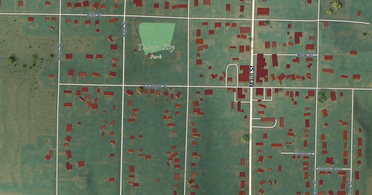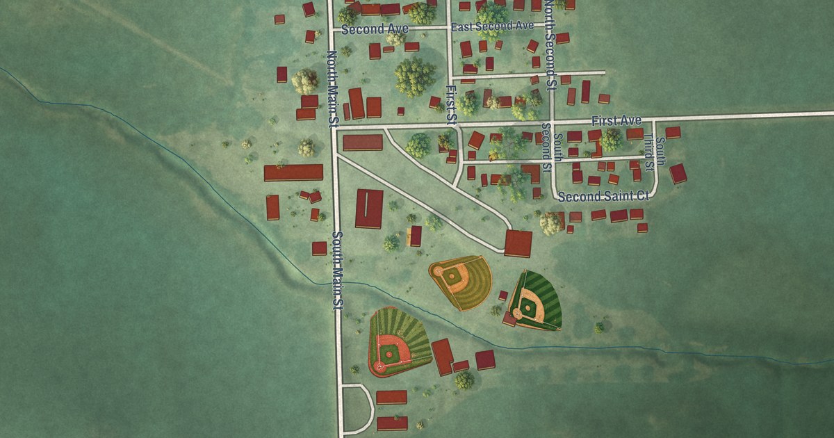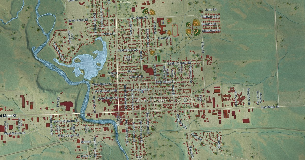
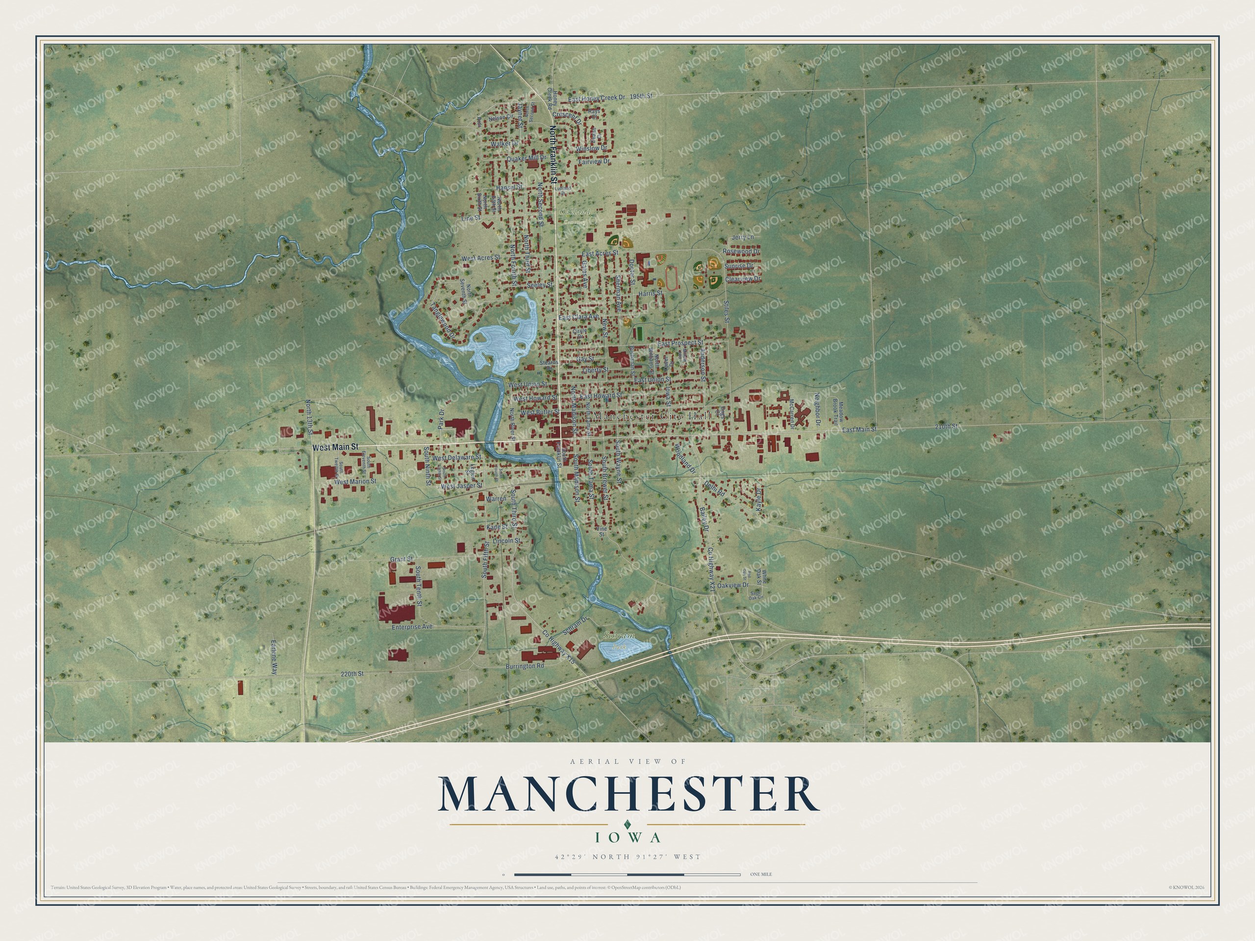
This beautifully detailed map of Manchester, Iowa was created in 2026 using aerial imagery combined with modern topographical, census, street and landmark data. It's a modern aerial view of Manchester in Delaware County, Iowa, that combines modern data with a vintage aesthetic. The roads feature printed names, and if you look closely you can find your exact house accurately shown in its correct location.
Explore an aerial view of Manchester, Iowa
On this map you'll find Manchester City Hall, Oakland Cemetery, Schram Park, West Main Street, North Franklin Street, East Main Street, North 13th Street, Jaynet Street, South Ninth Street, South Fifth Street, Co Highway X21, South Tama Street, and more. Each red shape is a building, so zoom in on the preview and look for yours.
Manchester is a city in Delaware County. The Census Bureau counted 5,065 people here in 2020. The map prints the town name in its title panel, with the coordinates below it.
Take a closer look at the Manchester map
Names on this map
These names are printed on this map.
Places: Manchester City Hall, Oakland Cemetery and Schram Park.
Streets and roads: West Main Street, North Franklin Street, East Main Street, North 13th Street, Jaynet Street, South Ninth Street, South Fifth Street, County Highway X21, South Tama Street, 210th Street, West Marion Street, 220th Street.
More street names, A to Z
195th Street, Anderson Street, Bailey Drive, Buchanan Street, Burrington Road, Circle Drive, Clearview Drive, County Highway X15, Crescent Drive, Deann Drive, Delhi Road, Doctor Street, Earlene Way, East Acres Street, East Clara Avenue, East Honey Creek Drive, East Howard Street, East Prospect Street, East Union Street, Enterprise Avenue, Fairview Drive, Gales Avenue, Gay Street, Grant Street, Hansel Street, Harris Street, Honey Creek Road, Iowa Street, Jerry Lane, Kane Street, Kayle Drive, Legion Street, Liberty Street, Lincoln Street, Line Street, Ludland Drive, McCarren Drive, Meadow Brook Trail, Millam Heights, Neighbor Drive, Nelson Circle, New Street, North Fifth Street, North Fourth Street, North Madison Street, North River Street, North Second Street, North Seventh Street, North Sixth Street, North Tama Street, North Third Street, North Williams Street, Oakview Drive, Park Drive, Prdr, Quaker Mill Drive, Rays Court, Red Oak Street, Rosewood Drive, Sage Oak Circle, Schram Drive, Seeley Street, Sherman Avenue, South Brewer Street, South Eighth Street, South Eleventh Street, South Fourth Street, South Franklin Street, South Madison Street, South Tenth Street, South Third Street, South Twelfth Street, South Wayne Street, Stearns Drive, Stiles Street, Sunrise Drive, Tanglewood Drive, Tower Drive, Ungs Court, Vine Street, Walker Drive, Warren, West Acres Street, West Butler Street, West Delaware Street, West Howard Street, West Jasper Street, West Union Street, White Oak Street, Winslow Drive, Woodland Drive.
Created by KNOWOL in 2026. The buildings are small red shapes, the roads carry their printed names, and shaded relief shows the shape of the land. The title panel reads "AERIAL VIEW OF MANCHESTER IOWA" with 42°29' NORTH 91°27' WEST.
It suits a den, a classroom or a front hall, and it makes a gift for anyone with Manchester roots. Open the preview and find the block you know. See sizes and frames for the Manchester map.