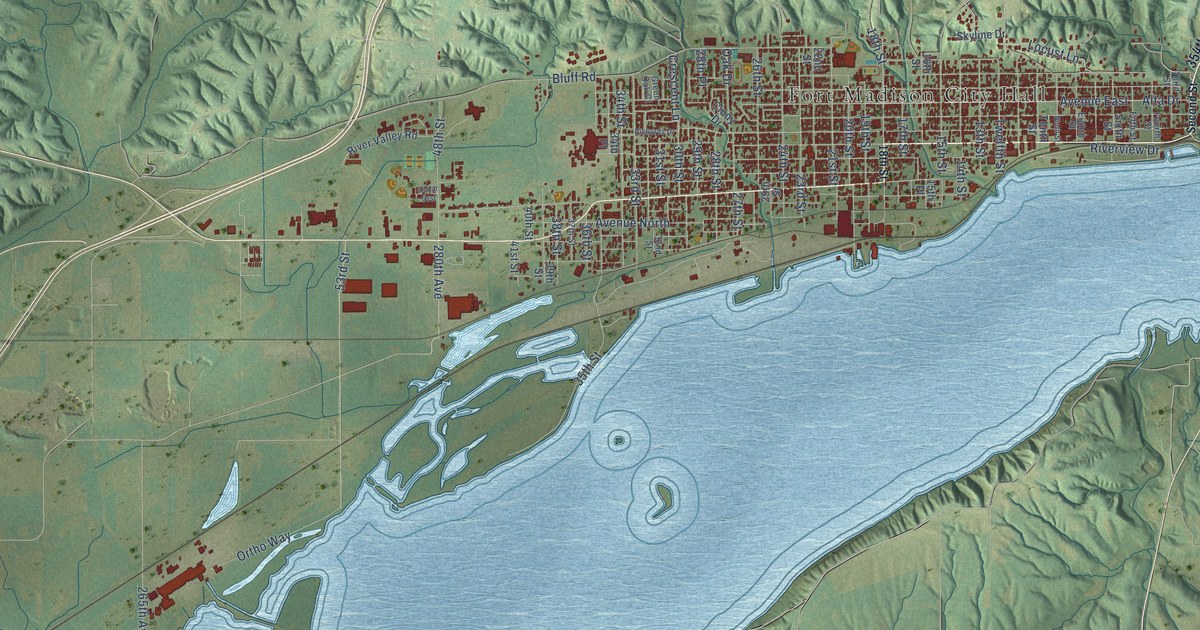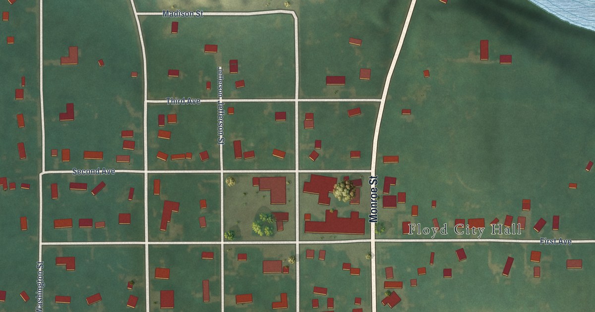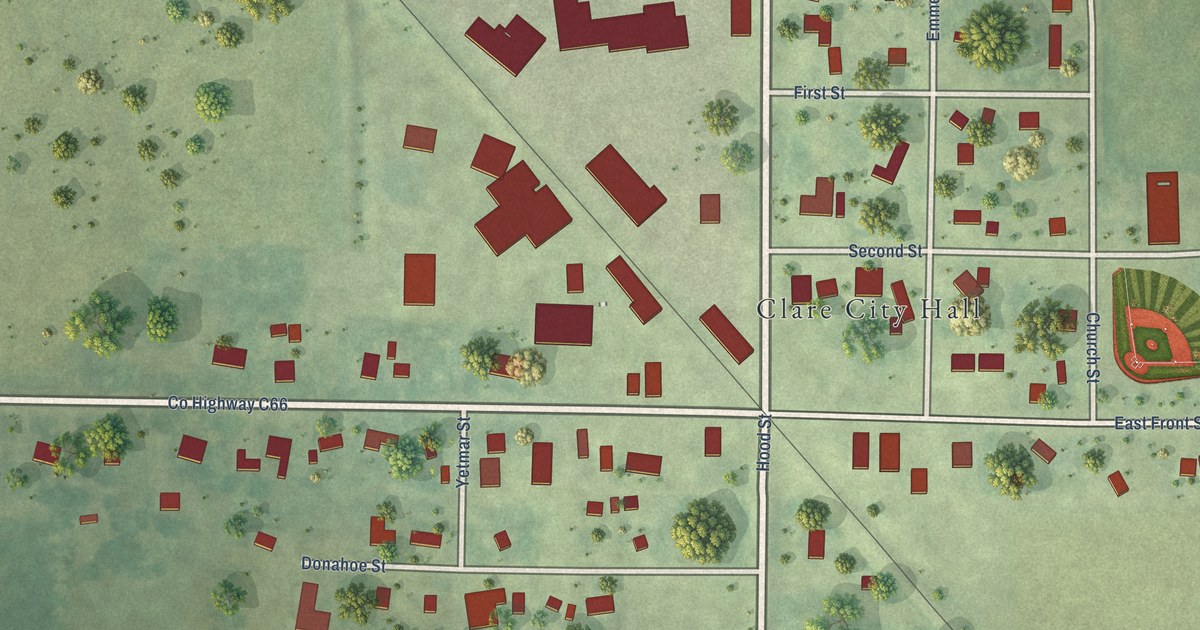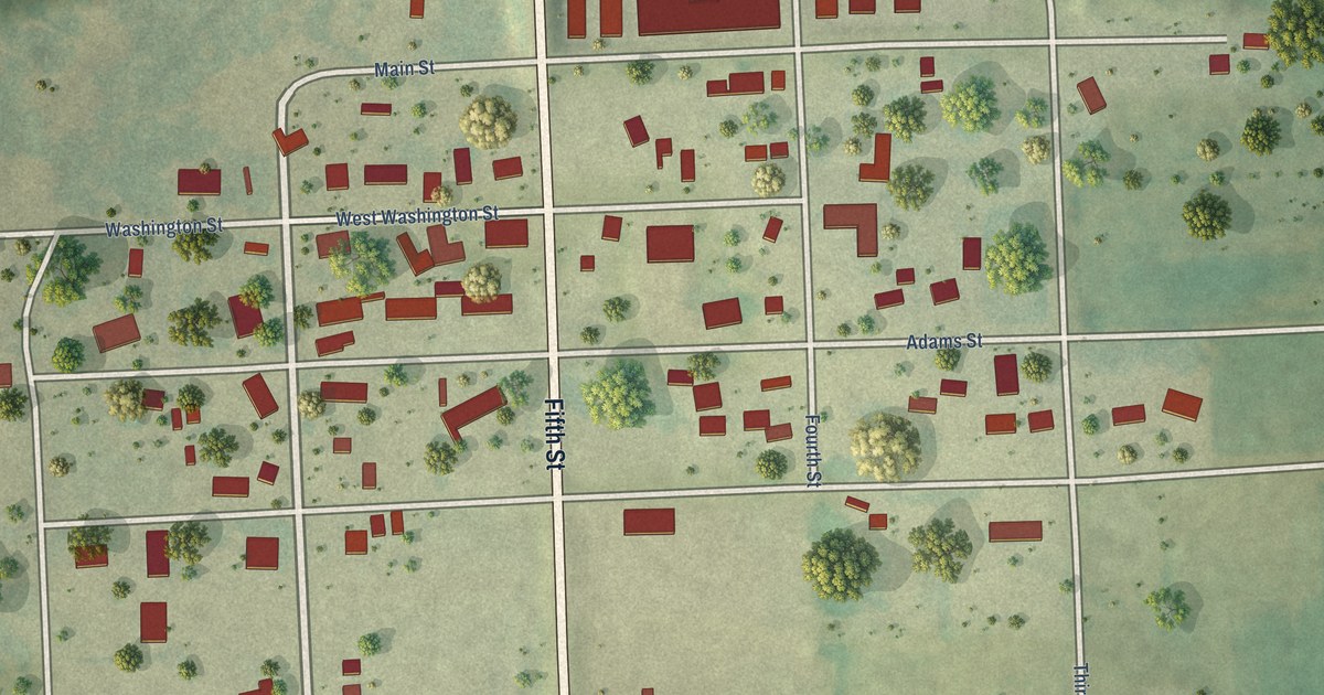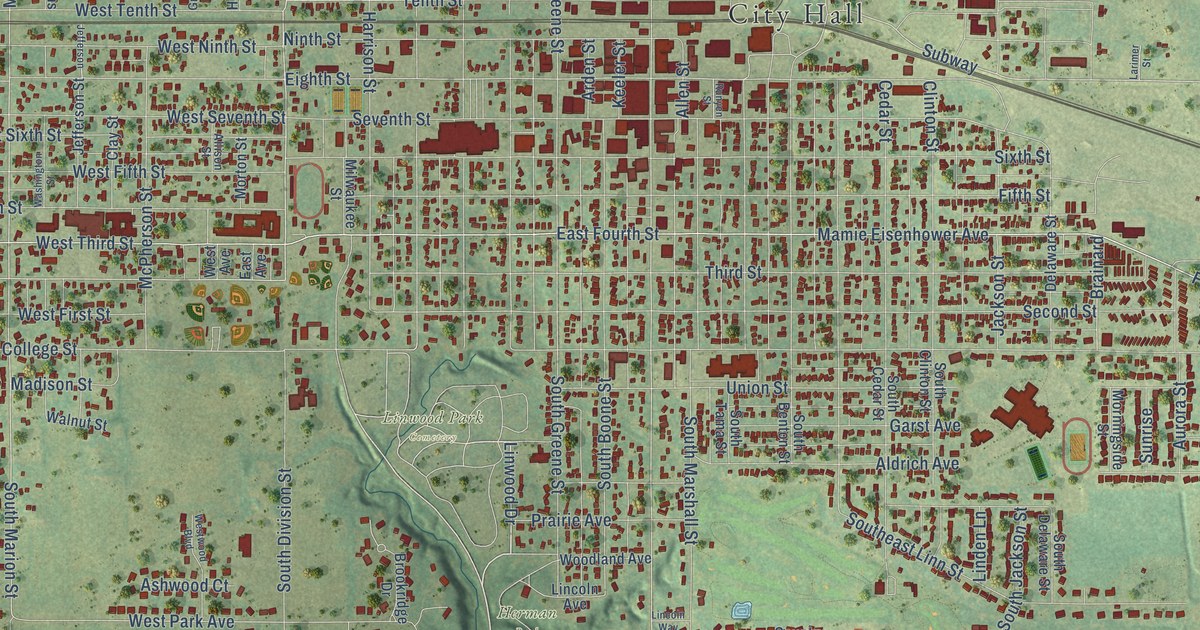
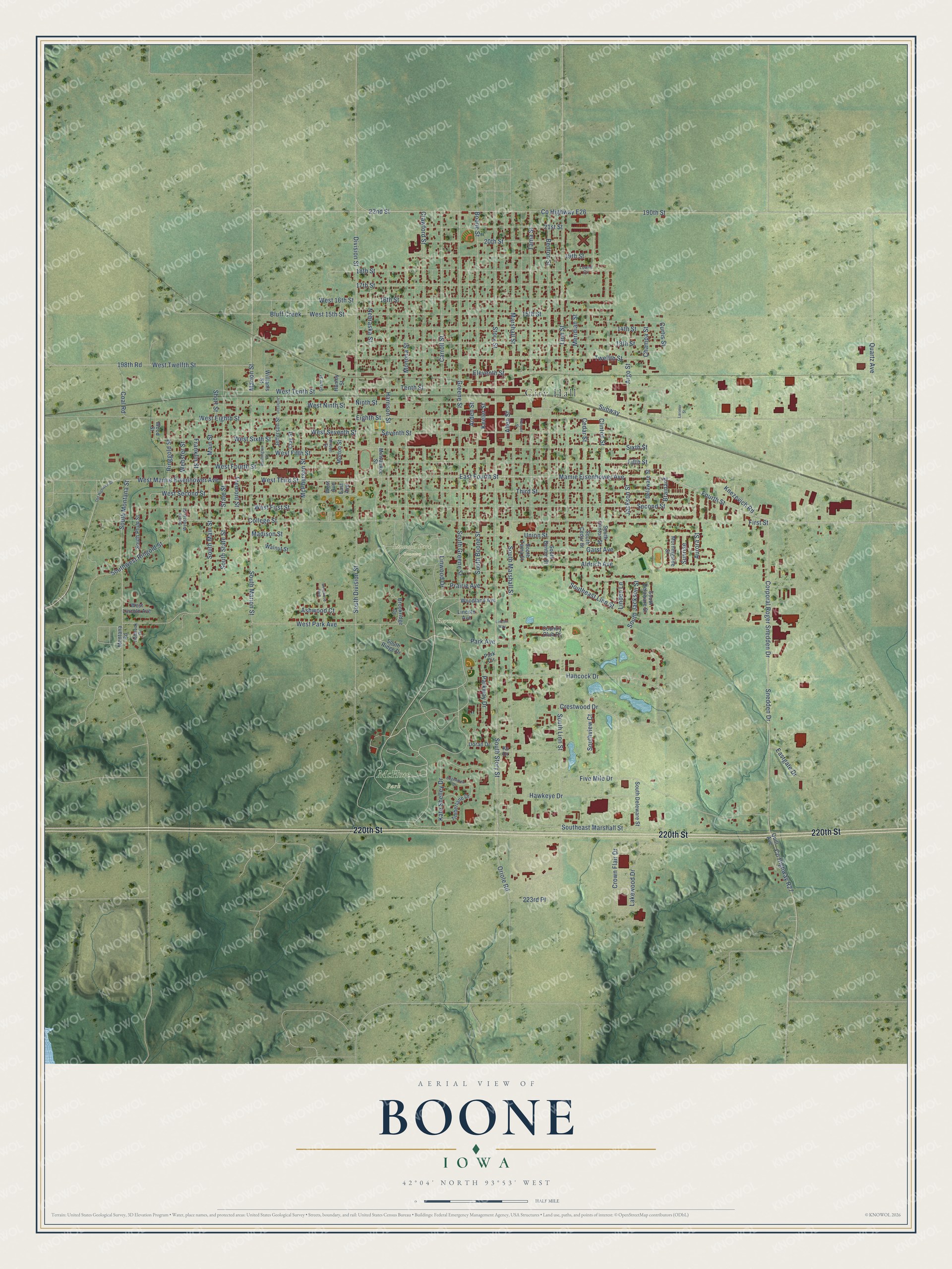
This beautifully detailed map of Boone, Iowa was created in 2026 using aerial imagery combined with modern topographical, census, street and landmark data. It's a modern aerial view of Boone in Boone County, Iowa, that combines modern data with a vintage aesthetic. The roads feature printed names, and if you look closely you can find your exact house accurately shown in its correct location.
Explore an aerial view of Boone, Iowa
On this map you'll find City Hall, Herman Park, Linwood Park Cemetery, McHose Park, 220th Street, Linwood Drive, South Montana Street, West Third Street, Division Street, West Park Avenue, Mamie Eisenhower Avenue, Fourth Street, and more. Each red shape is a building, so zoom in on the preview and look for yours.
Boone has a story worth telling. The Chicago and North Western Railway puts it this way: "When the county was organized, Boonesboro, a mile or so north of the present city of Boone was named from the county and was made the county seat."
Boone is a city in Boone County. The Census Bureau counted 12,460 people here in 2020.
Take a closer look at the Boone map
Names on this map
These names are printed on this map.
Places: City Hall, Herman Park, Linwood Park Cemetery and McHose Park.
Streets and roads: 220th Street, Linwood Drive, South Montana Street, West Third Street, Division Street, West Park Avenue, Mamie Eisenhower Avenue, Fourth Street, Marion Street, South Marion Street, West Second Street, Eighth Street.
More street names, A to Z
13th Street, 14th Street, 15th Street, 16th Street, 17th Street, 18th Street, 19th Street, 20th Street, 21st Street, 22nd Street, 190th Street, 198th Road, 223rd Place, Aldrich Avenue, Allen Street, Allison Street, Arden Street, Argo Street, Ashwood Court, Aurora Street, Benton Street, Bluff Creek, Boone Street, Brainard, Brookridge Drive, Carroll Street, Cedar Street, Champa Street, Clay Street, Clinton Street, Coal Road, College Street, Corporal Roger Snedden Drive, Country Club Drive, County Highway E26, County Highway R27, Crawford Street, Crestwood Drive, Crown Flair Drive, Curtis Street, Delaware Street, Doran Drive, East Avenue, East Fourth Street, Eastgate Drive, Edgewood Drive, Eleventh Street, Fifth Street, First Street, Five Mile Drive, Franklin Street, Fremont Street, Garst Avenue, Grant Street, Greene Street, Hancock Drive, Hanley Street, Harrison Street, Hawkeye Drive, Holbrook Drive, Jackson Street, Jefferson, Jefferson Street, Kate Shelley Drive, Keeler Street, Knezevich Road, Ks Drive, Lakewood Drive, Larimer Street, Lincoln Avenue, Lincoln Way, Linden Lane, Linn Street, Lowell Circle, Madison Street, Main Street, Marshall Street, McPherson Street, Meridian Street, Milwaukee Street, Monona Street, Montana Road, Morningside Street, Morton Street, Nebraska Street, Ninth Street, Old Highway 30, Oriole Road, Park Avenue, Park Circle, Parkway Drive, Prairie Avenue, Quartz Avenue, Quill Avenue, Ringgold Street, Runyen Street, Second Street, Seventh Street, Short Street, Sixth Street, Snedden Drive, South Benton Street, South Boone Street, South Cedar Street, South Clinton Street, South Delaware Street, South Deleware Street, South Division Street, Southeast Linn Street, Southeast Marshall Street, South Greene Street, South Jackson Street, South Linn Street, South Main Street, South Marshall Street, South Plum Street, South Ridge Drive, South State Street, South Story Street, South Tama Street, Southview Court, South Webster Street, Southwest Ringold Street, State Street, Story Street, Subway, Sunrise, Tama Street, Tenth Street, Third Street, Timberlane Drive, Twelfth Street, Union Street, Walnut Street, Washington Street, Webster Street, West 15th Street, West 16th Street, West Avenue, West Eighth Street, West Fifth Street, West First Street, West Fourth Street, West Lincoln Avenue, West Mamie Eisenhower Avenue, West Ninth Street, West Seventh Street, West Sixth Street, West Tenth Street, West Twelfth Street, Westwood Boulevard, Williams Street, Woodland Avenue, Wood Street.
Created by KNOWOL in 2026. The buildings are small red shapes, the roads carry their printed names, and shaded relief shows the shape of the land. The title panel reads "AERIAL VIEW OF BOONE IOWA" with 42°04' NORTH 93°53' WEST.
It looks right in a kitchen, an office or a den, and it's a gift for anyone who grew up in Boone or moved away. Open the preview and find your street. See sizes and frames for the Boone map.