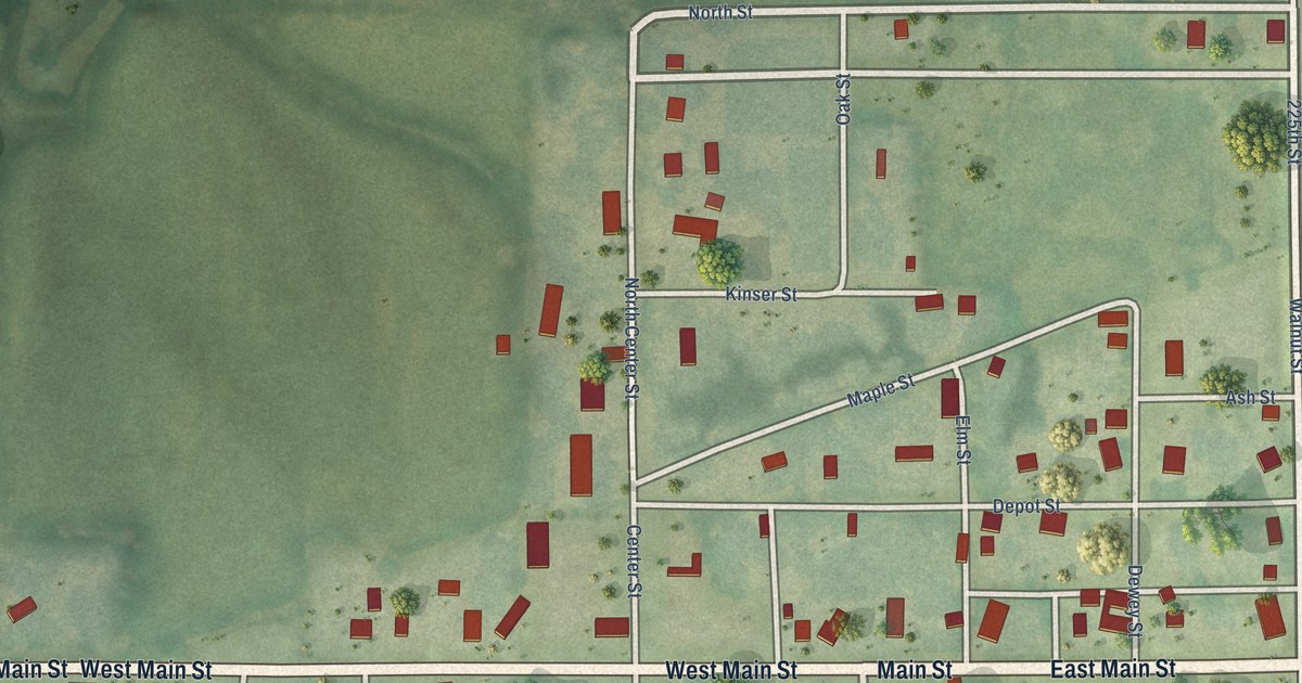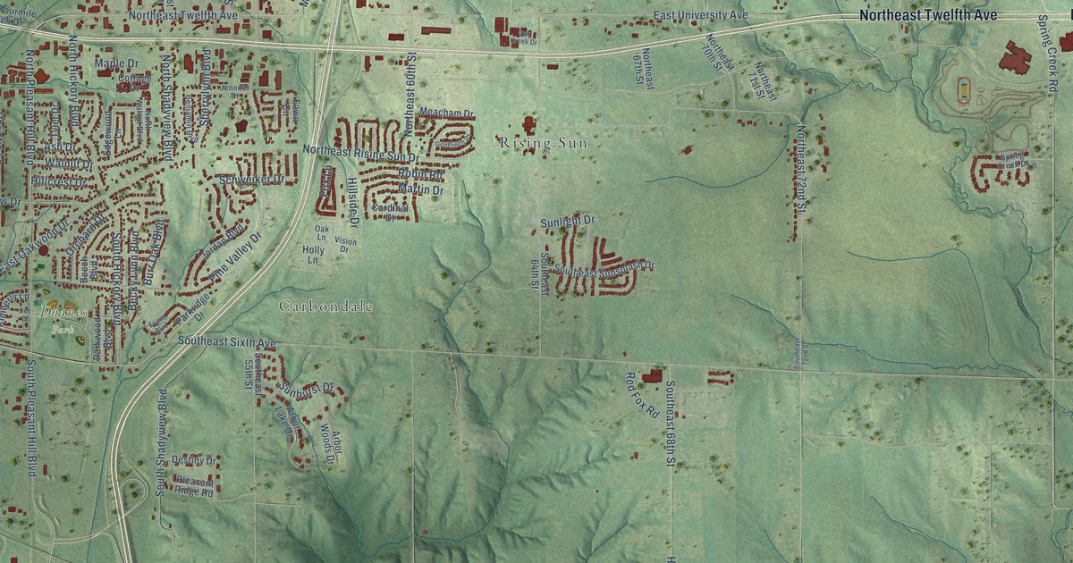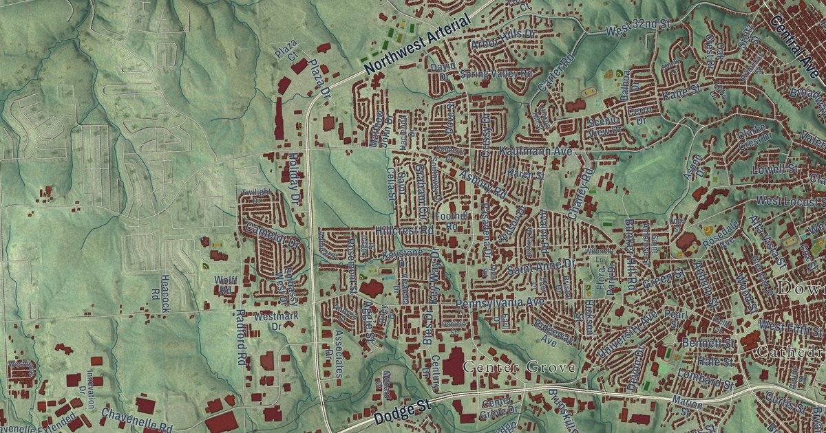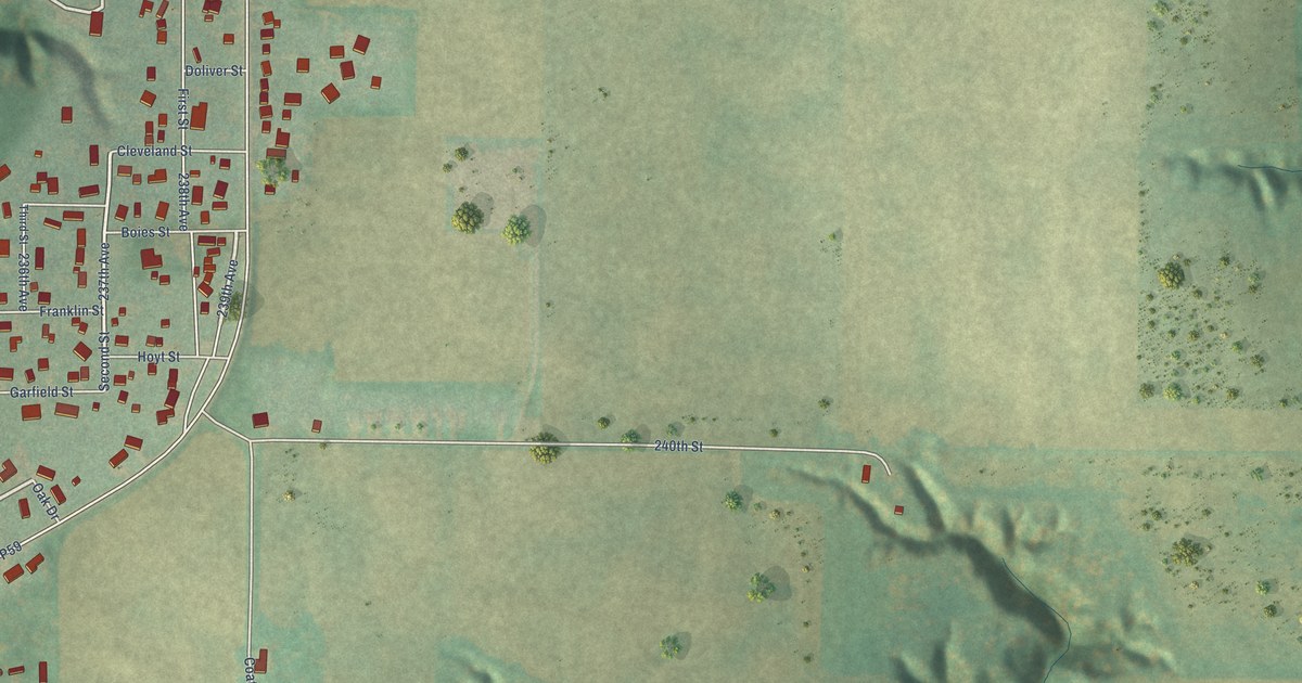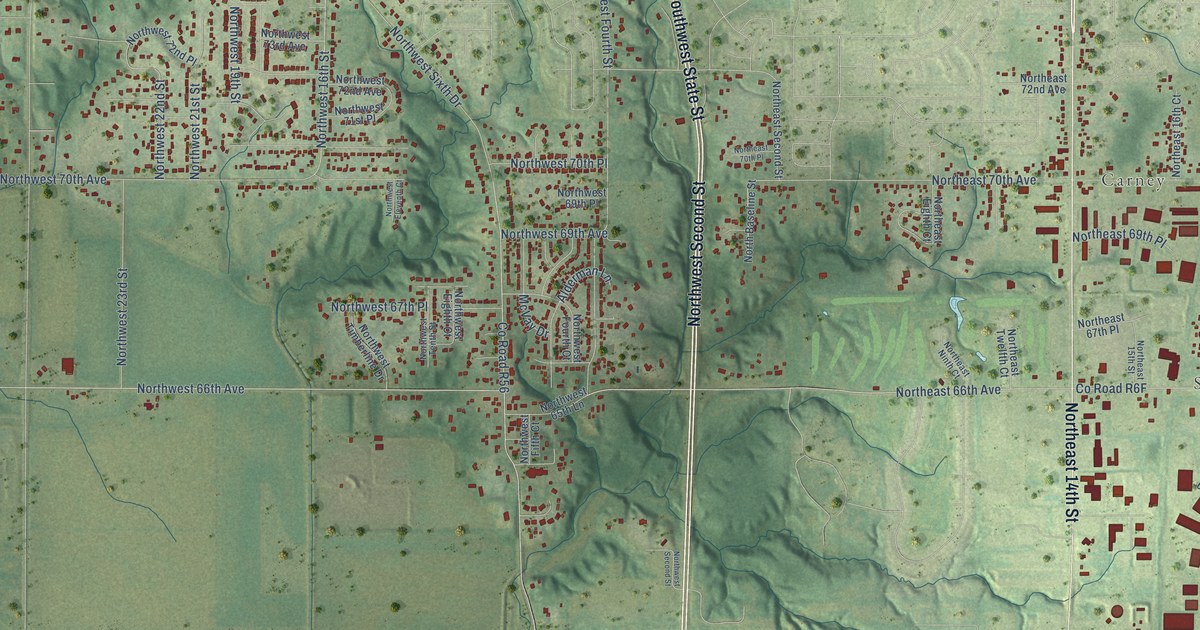
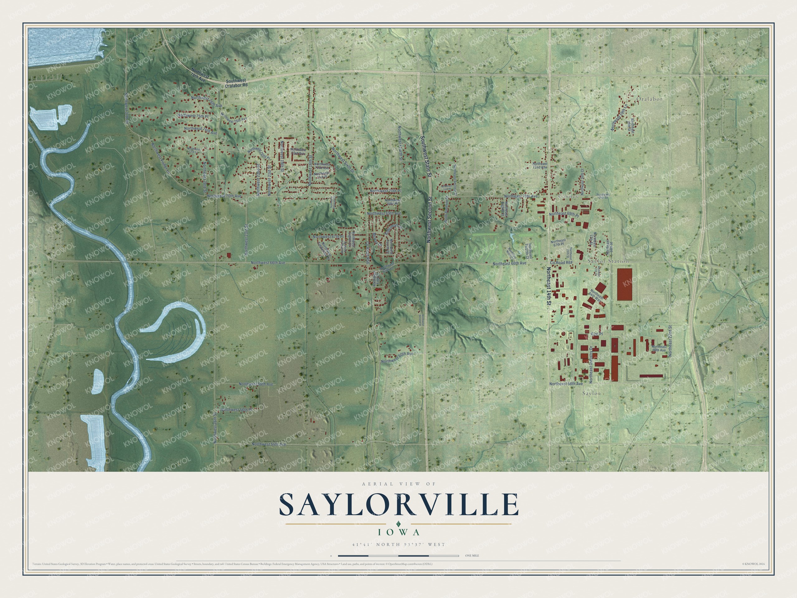
This beautifully detailed map of Saylorville, Iowa was created in 2026 using aerial imagery combined with modern topographical, census, street and landmark data. It's a modern aerial view of Saylorville in Polk County, Iowa, that combines modern data with a vintage aesthetic. The roads feature printed names, and if you look closely you can find your exact house accurately shown in its correct location.
Explore an aerial view of Saylorville, Iowa
On this map you'll find Oralabor, Saylor, Saylor Station, Carney, Northeast 14th Street, Southwest State Street, Northwest Second Street, Northwest 23rd Street, Northwest 54th Avenue, Northeast 70th Avenue, Northwest Fisher Lane, Co Road R6F, and more. Each red shape is a building, so zoom in on the preview and look for yours.
Every town has a first chapter, and Saylorville is no exception. John B. Saylor came in April 1845 with a permit from Captain Allen, the Army garrison's commander, to raise hay, grain and beef cattle for the soldiers. He built a log cabin on land that is now part of Saylorville and started the first settlement north of Des Moines, and he platted the town in 1850. Saylorville grew into one of the most flourishing towns in the county and was a serious rival for the county seat. It faded after the railroad to Ames passed two miles to the east. That's from the Polk County IAGenWeb project.
Saylorville is a community in Polk County. The Census Bureau counted 3,584 people here in 2020.
Take a closer look at the Saylorville map
Names on this map
These names are printed on this map.
Places: Oralabor, Saylor, Saylor Station and Carney.
Streets and roads: Northeast 14th Street, Southwest State Street, Northwest Second Street, Northwest 23rd Street, Northwest 54th Avenue, Northeast 70th Avenue, Northwest Fisher Lane, County Road R56, Northwest 26th Street, Northwest Sixth Drive, Northwest 66th Avenue, Northeast 66th Avenue.
More street names, A to Z
61st Place, Alderman Lane, McVay Drive, North Baseline Street, Northeast 15th Street, Northeast 16th Court, Northeast 17th Court, Northeast 17th Street, Northeast 18th Street, Northeast 19th Lane, Northeast 19th Street, Northeast 22nd Street, Northeast 58th Avenue, Northeast 60th Avenue, Northeast 64th Way, Northeast 67th Place, Northeast 69th Place, Northeast 70th Place, Northeast 72nd Avenue, Northeast Eighth Court, Northeast Industry Drive, Northeast Ninth Court, Northeast Second Street, Northeast Twelfth Court, Northwest 16th Street, Northwest 19th Street, Northwest 21st Street, Northwest 22nd Street, Northwest 28th Street, Northwest 37th Street, Northwest 56th Place, Northwest 58th Avenue, Northwest 60th Avenue, Northwest 65th Lane, Northwest 67th Place, Northwest 69th Avenue, Northwest 69th Place, Northwest 70th Avenue, Northwest 70th Place, Northwest 71st Place, Northwest 72nd Avenue, Northwest 72nd Place, Northwest 73rd Avenue, Northwest 73rd Lane, Northwest 74th Avenue, Northwest 75th Avenue, Northwest 75th Place, Northwest 76th Avenue, Northwest 78th Avenue, Northwest Eighth Court, Northwest Eleventh Court, Northwest Fifth Court, Northwest Fourth Court, Northwest Fourth Street, Northwest Tenth Street, Northwest Timberline Drive, Southeast 54th Street, Southwest Oralabor Road.
See it on a wall
The Saylorville map as a framed print. Swipe for more.


Created by KNOWOL in 2026. The buildings are small red shapes, the roads carry their printed names, and shaded relief shows the shape of the land. The title panel reads "AERIAL VIEW OF SAYLORVILLE, IOWA" with 41°41' NORTH 93°37' WEST.
Hang it in the hallway, the office or the cabin, or give it to someone who left Saylorville and still calls it home. Open the preview and look for a street you know. See sizes and frames for the Saylorville map.