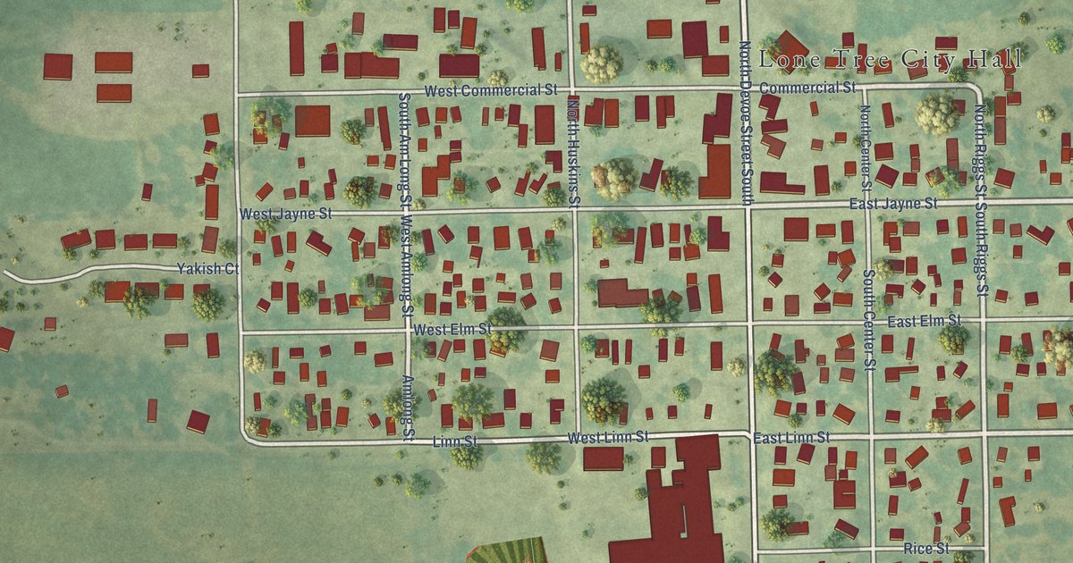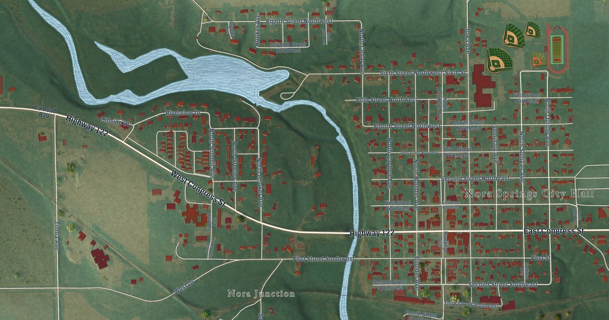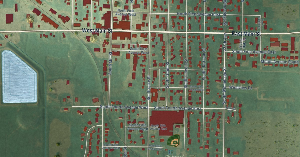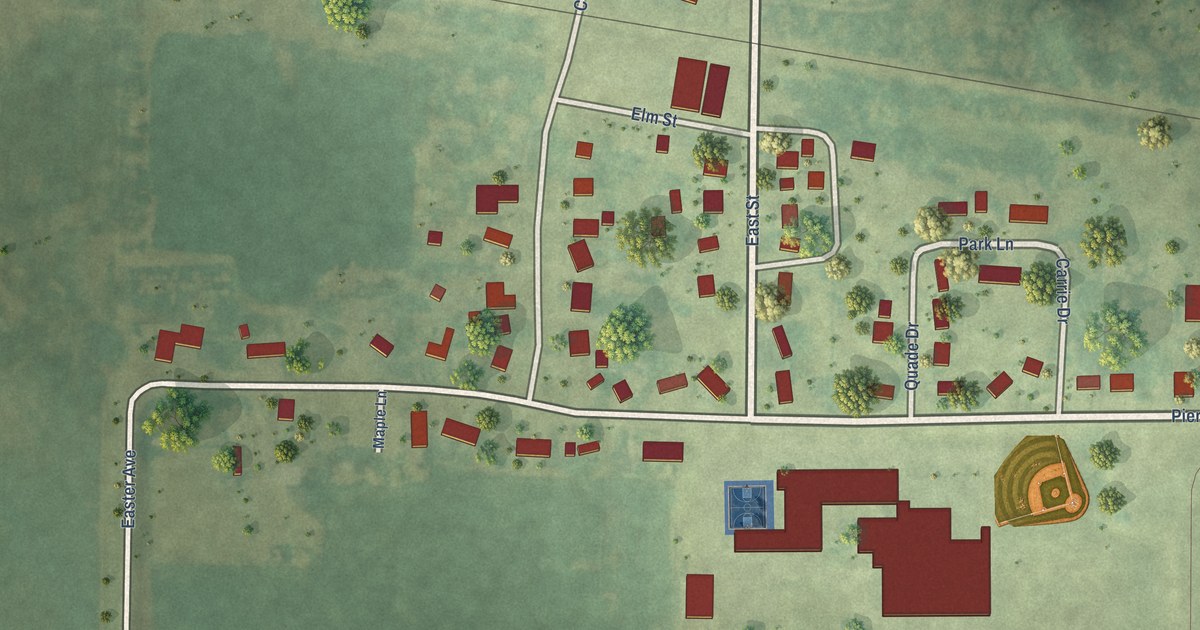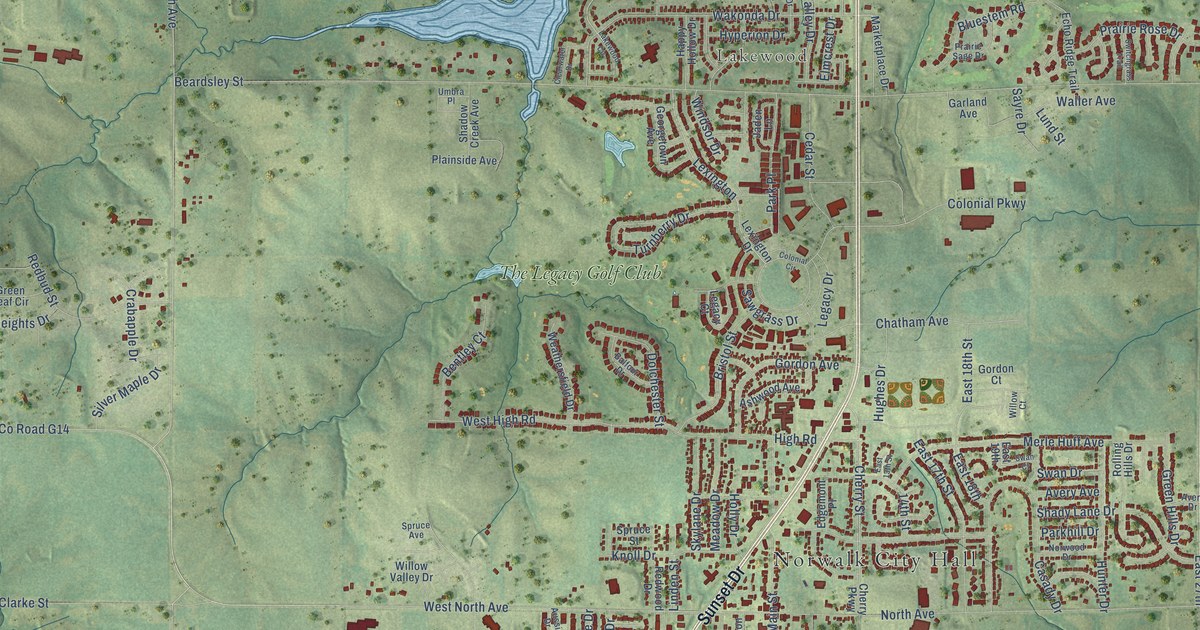
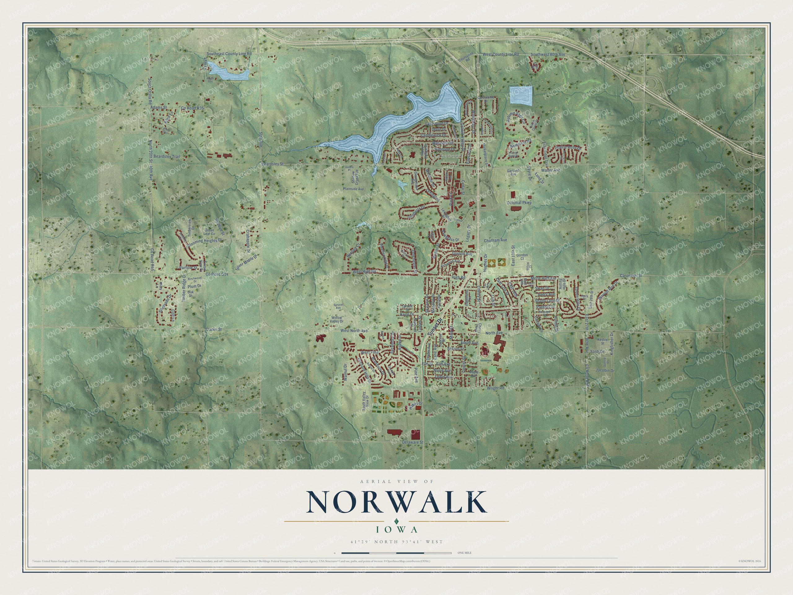
This beautifully detailed map of Norwalk, Iowa was created in 2026 using aerial imagery combined with modern topographical, census, street and landmark data. It's a modern aerial view of Norwalk in Warren County, Iowa, that combines modern data with a vintage aesthetic. The roads feature printed names, and if you look closely you can find your exact house accurately shown in its correct location.
Explore an aerial view of Norwalk, Iowa
On this map you'll find Norwalk City Hall, Orilla, Lakewood, The Legacy Golf Club, Sunset Drive, West County Line Road, Southeast County Line Road, Southwest 80th Avenue, Lakewood Drive, 80th Avenue, 50th Avenue, Woodmayr Drive, and more. Each red shape is a building, so zoom in on the preview and look for yours.
Norwalk is a city in Warren County. The Census Bureau counted 12,799 people here in 2020. The map prints the town name in its title panel, with the coordinates below it.
Take a closer look at the Norwalk map
Names on this map
These names are printed on this map.
Places: Norwalk City Hall, Orilla, Lakewood and The Legacy Golf Club.
Streets and roads: Sunset Drive, West County Line Road, Southeast County Line Road, Southwest 80th Avenue, Lakewood Drive, 80th Avenue, 50th Avenue, Woodmayr Drive, 45th Lane, County Road G14, East 27th, 14th Street.
More street names, A to Z
40th Avenue, 42nd Lane, Abbott Trail, Adams Street, Arthur Trail, Ashwood Avenue, Aspen Drive, Aussie Drive, Autumn Sage Circle, Avery Avenue, Avery Drive, Balfour Drive, Beardsley Street, Beardsley Trail, Bentley Court, Birchwood Drive, Blooming Heights Drive, Bluestem Road, Braeburn Drive, Bristol Street, Candlewick Drive, Carpenter Street, Casady Drive, Cedar Street, Center Street, Chatham Avenue, Cherry Parkway, Cherry Street, Clarke Street, Clearwater Drive, Colonial Circle, Colonial Parkway, Colt Lane, Columbine Drive, Countyline Road, County Road R35, County Road R45, County Road R57, Crabapple Drive, Delaware Street, Devlin Drive, Dolchester Street, East 13th Street, East 17th Street, East 18th, East 18th Street, East 19th, East 28th Street, Echo Drive, Echo Ridge Trail, Edgemont Place, Elm Avenue, Elmcrest Drive, Elm Street, Garland Avenue, Georgetown Avenue, Golden Valley Drive, Gordon Avenue, Gordon Court, Green Hills Drive, Green Leaf Circle, Hakes Drive, Happy Hollow Drive, High Road, Holly Drive, Hughes Drive, Hunter Drive, Hyperion Drive, Jackson Street, Jacobin Drive, Jaden Lane, Kestrel Street, Kingfisher Drive, Knoll Drive, Lakewood Circle, Lane Avenue, Legacy Court, Legacy Drive, Lewis Avenue, Lexington, Lexington Drive, Linden Street, Lund Street, Main Street, Maple Avenue, Marie Avenue, Marketplace Drive, Meadow Drive, Merle Huff Avenue, Misty Lane, North 20th Street, North Avenue, Norwood Drive, Oak Street, Oakwood Drive, Orchard Hills Drive, Orchard Trail, Parkhill Drive, Park Place, Partlow Street, Pine Avenue, Pinehurst Circle, Pinehurst Lane, Plainside Avenue, Plum Drive, Prairie Clover Court, Prairie Rose Drive, Prairie Sage Drive, Quetzal Drive, Redbud Street, Redwood Drive, Rellim Drive, Rolling Hills Drive, Sawgrass Drive, Sayre Drive, School Street, Serenity Circle, Shadow Creek Avenue, Shady Lane Drive, Silverado Drive, Silver Maple Drive, Skylane Drive, Snyder Avenue, South Avenue, South Orilla Road, South Valley View Drive, Spruce Avenue, Spruce Street, Swan Court, Swan Drive, Switchgrass Trail, Sycamore Drive, Timber Ridge Drive, Timberview Drive, Timber View Drive, Turnberry Drive, Umbra Place, Wakonda Drive, Waller Avenue, Walnut Drive, Warrior Run Drive, Weathersfield Drive, West High Road, West North Avenue, West Pine, Willow Court, Willow Valley Drive, Windsor Drive, Woodmayr Circle, Wright Road, Yordi Drive.
Created by KNOWOL in 2026. The buildings are small red shapes, the roads carry their printed names, and shaded relief shows the shape of the land. The title panel reads "AERIAL VIEW OF NORWALK IOWA" with 41°29' NORTH 93°41' WEST.
Hang it in the hallway, the office or the cabin, or give it to someone who left Norwalk and still calls it home. Open the preview and look for a street you know. See sizes and frames for the Norwalk map.