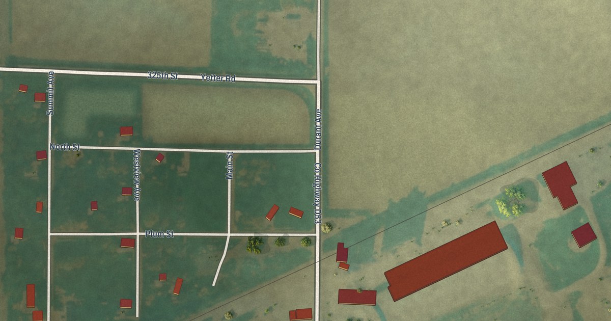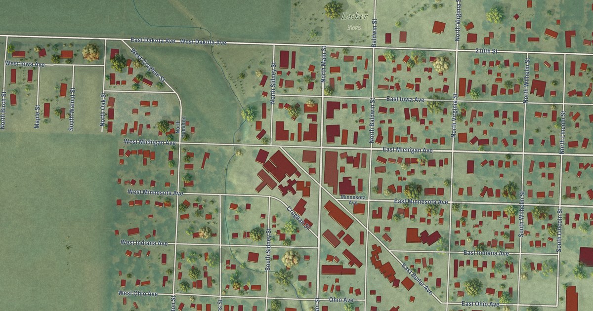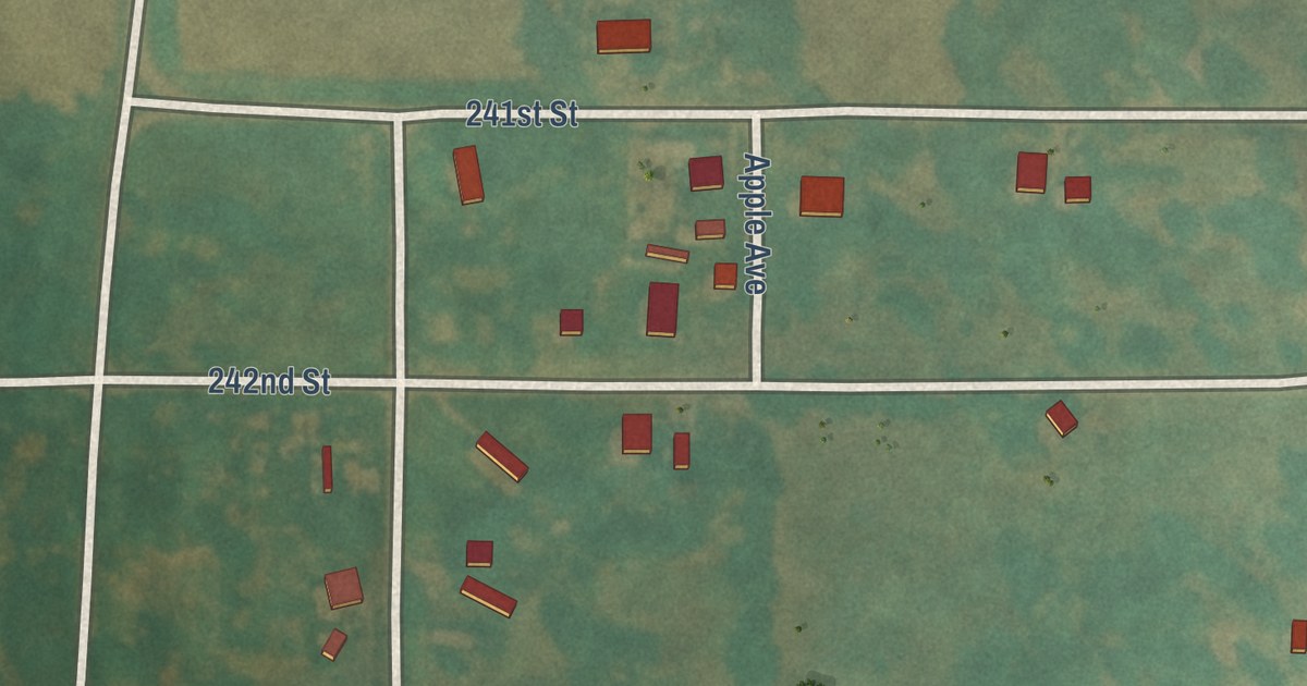
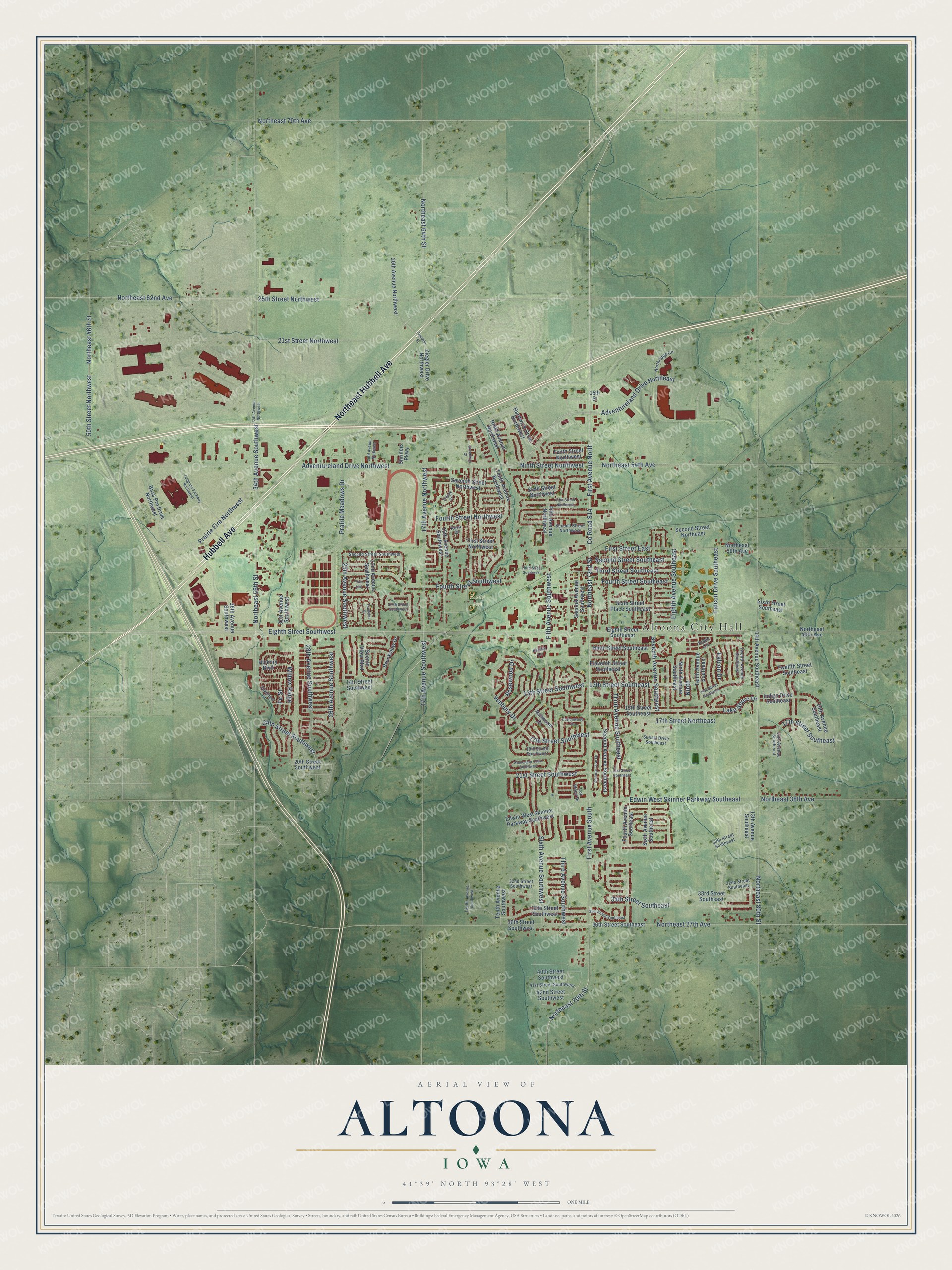
This beautifully detailed map of Altoona, Iowa was created in 2026 using aerial imagery combined with modern topographical, census, street and landmark data. It’s a one-of-a-kind view of Altoona that combines accurate data with a vintage aesthetic. The map shows every building in its true location, many of the roads carry their names, and the shaded topographic relief shows the shape of the land.
Explore an aerial view of Altoona, Iowa
On the map you’ll find Altoona City Hall and Lions Park, along with Hubbell Avenue, Northeast Hubbell Avenue, Third Avenue Southwest, Northeast 72nd Street, County Road S14, Adventureland Drive Northeast, Adventureland Drive Northwest, 28th Avenue Southwest, First Avenue North, First Avenue South, and more. If you look closely you can even find your house accurately drawn in its correct location. Zoom in on the preview to look for yours.
Did you know this piece of Altoona, Iowa history?
From the History of Polk County: "As a shipping point Altoona exceeds in importance many towns which are much older and larger. During the year ending June 1st there were shipped from this point over three hundred thousand bushels of corn and one hundred thousand bushels of wheat, while the shipments of fat cattle and hogs were in like proportion."
Take a closer look at the Altoona map
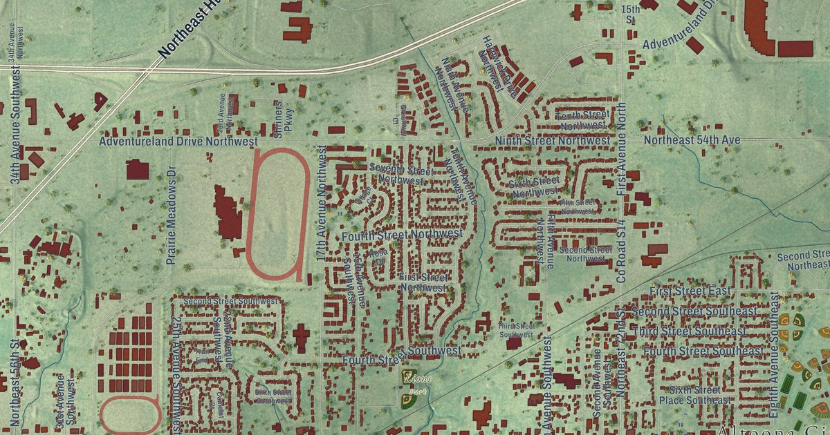
Street and place names on the Altoona, Iowa map
These names are printed on the map of Altoona, Iowa.
Places: Altoona City Hall and Lions Park.
Streets and roads: Hubbell Avenue, Northeast Hubbell Avenue, Third Avenue Southwest, Northeast 72nd Street, County Road S14, Adventureland Drive Northeast, Adventureland Drive Northwest, 28th Avenue Southwest, First Avenue North, First Avenue South, Northeast 54th Avenue, Ninth Street Northwest.
More street names, A to Z
13th Avenue Southeast, 13th Street Southeast, 13th Street Southwest, 14th Avenue Southeast, 14th Street Southeast, 14th Street Southwest, 15th Avenue Southeast, 15th Avenue Southwest, 15th Street, 15th Street Southeast, 17th Avenue Northwest, 17th Avenue Southwest, 17th Street Northeast, 17th Street Southeast, 17th Street Southwest, 19th Street Southwest, 20th Avenue Northwest, 20th Avenue Southeast, 20th Street Southwest, 21st Street Northwest, 21st Street Southeast, 21st Street Southwest, 22nd Avenue Southwest, 23rd Avenue Northwest, 24th Street Southwest, 25th Avenue Southwest, 25th Street Northwest, 26th Avenue Southwest, 30th Street Southeast, 31st Avenue Southwest, 32nd Street Southeast, 32nd Street Southwest, 33rd Street Southeast, 34th Avenue Northwest, 34th Avenue Southwest, 34th Street Southeast, 35th Street Southeast, 35th Street Southwest, 36th Avenue Southwest, 36th Street Southeast, 36th Street Southwest, 40th Street Southwest, 41st Street Southwest, 42nd Street Southwest, 50th Street Northwest, Ashwood Drive, Bass Pro Drive Northwest, Brookview Drive, Camelot Court, Cottonwood Drive, Country Cove Lane, Edwin West Skinner Parkway Southeast, Edwin West Skinner Parkway Southwest, Eighth Avenue Southeast, Eighth Street Southeast, Eighth Street Southwest, Eleventh Street Southeast, Falcon Drive, Falcon Drive Southeast, Fifth Avenue Northwest, Fifth Avenue Southwest, Fifth Street Northwest, Fir Street, First Street East, First Street Northwest, Fourth Avenue Southeast, Fourth Street Northwest, Fourth Street Southeast, Fourth Street Southwest, Franklin Street, Greenway Court, Hardwick Drive Northwest, Hickory Boulevard, Indigo Drive Southeast, Iron Wood Drive, Kelsey Lane, Lake Shore Drive, Ninth, Ninth Avenue Northwest, Ninth Avenue Southeast, Ninth Street Southeast, Northeast 27th Avenue, Northeast 38th Avenue, Northeast 46th Avenue, Northeast 46th Street, Northeast 50th Avenue, Northeast 56th Street, Northeast 62nd Avenue, Northeast 64th Street, Northeast 70th Avenue, Northeast 70th Street, Northeast 80th Street, Northridge Circle, Prairie Fire Northwest, Prairie Meadows Drive, Robin Circle, Rosa Drive, Rosewood Drive, Scenic View Boulevard, Second Avenue Southeast, Second Avenue Southwest, Second Street Northeast, Second Street Northwest, Second Street Southeast, Second Street Southwest, Seventh Avenue Southeast, Seventh Street Northwest, Shriners Parkway, Silverleaf Lane, Sixth Avenue Southeast, Sixth Avenue Southwest, Sixth Street Northwest, Sixth Street Place Southeast, Sixth Street Southeast, Sixth Street Southwest, Stonegate Court Southwest, Sunset Drive Southeast, Tallgrass Parkway Northwest, Tenth Avenue Northwest, Tenth Avenue Southeast, Tenth Avenue Southwest, Tenth Street Northwest, Third Avenue Southeast, Third Street Southeast, Third Street Southwest, Trail End, Twelfth Avenue Southeast, Twelfth Avenue Southwest, Twelfth Street Southeast, Venbury Drive, Village Court, Willow Ridge, Ziegler Drive Northwest.
See the Altoona, Iowa map on a wall
The Altoona map as an 18 x 24 inch print in a black frame.

This beautifully detailed map of Altoona makes an attractive addition to your office, library, or den, and it can even be used to teach children the geography and history of the area. It also makes a great gift for anyone who grew up in Altoona or moved away. When you’re done exploring, click here to get your copy of the Altoona map.