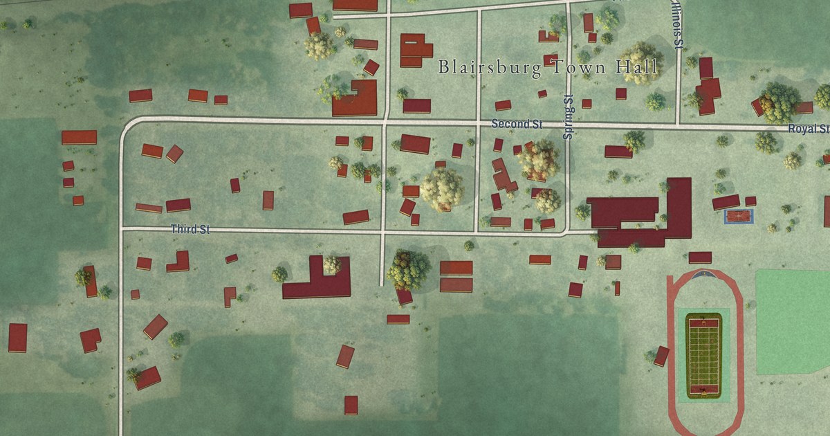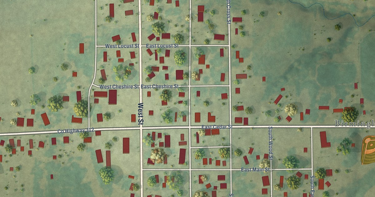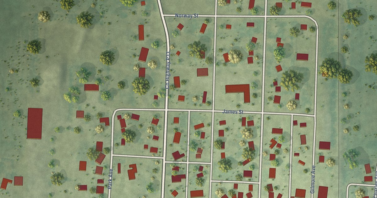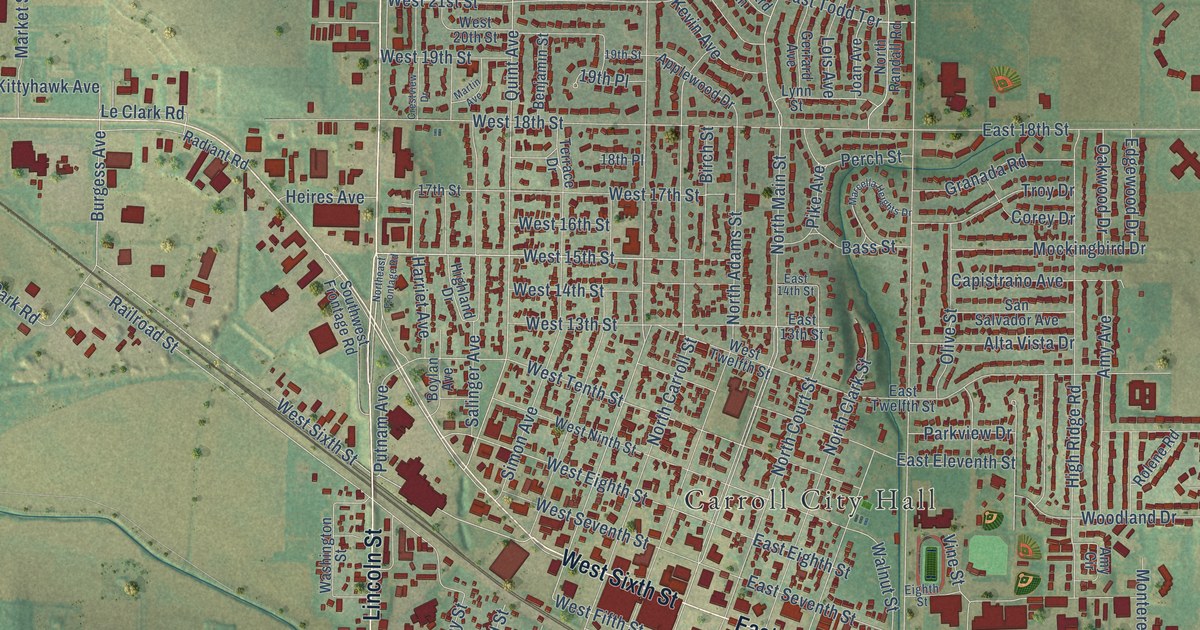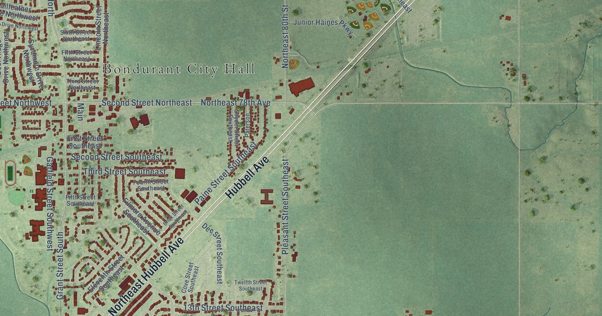
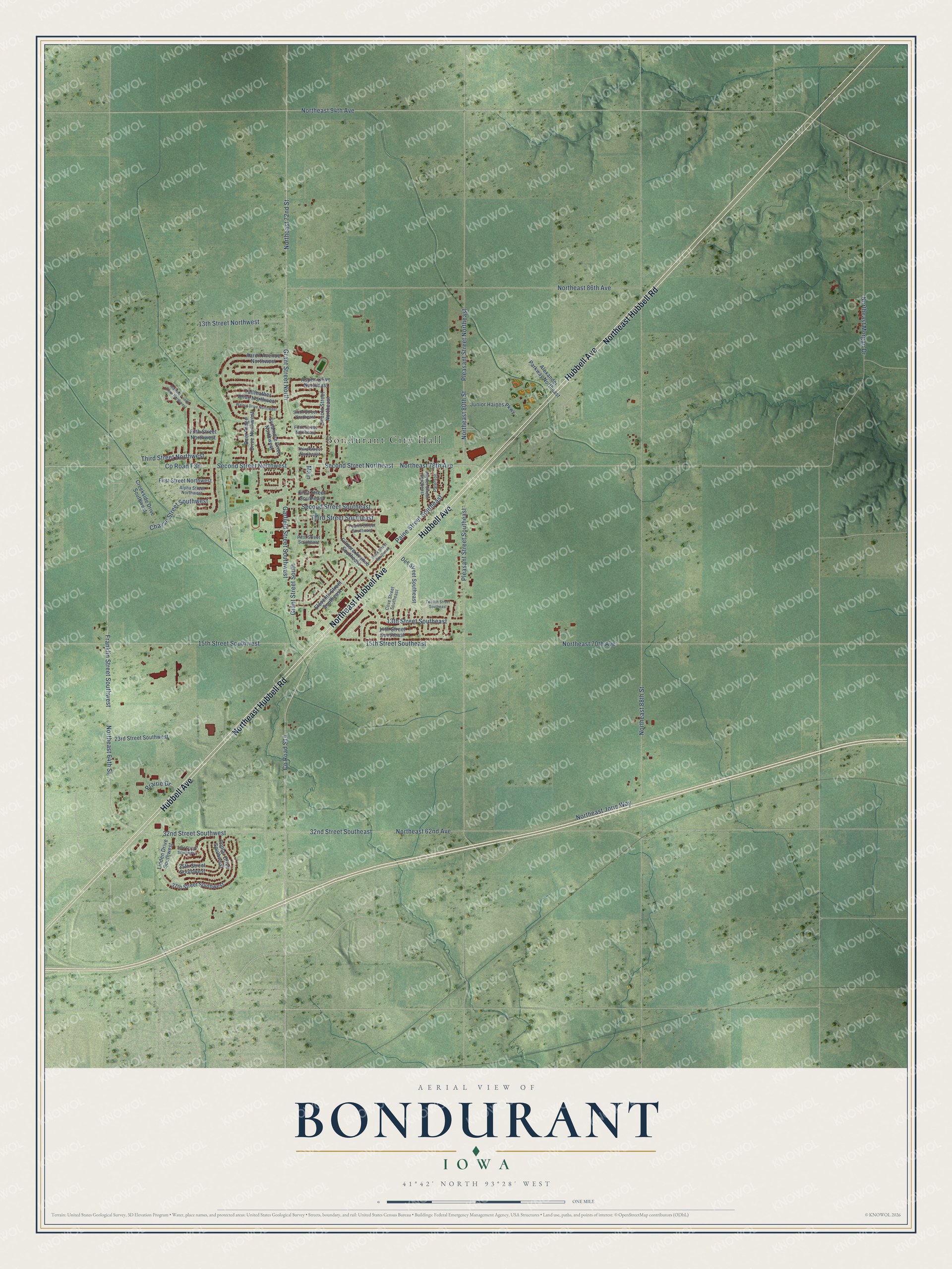
This beautifully detailed map of Bondurant, Iowa was created in 2026 using aerial imagery combined with modern topographical, census, street and landmark data. It's a modern aerial view of Bondurant in Polk County, Iowa, that combines modern data with a vintage aesthetic. The roads feature printed names, and if you look closely you can find your exact house accurately shown in its correct location.
Explore an aerial view of Bondurant, Iowa
On this map you'll find Bondurant City Hall, Hubbell Avenue, Northeast Hubbell Avenue, Northeast Hubbell Road, Grant Street South, Grant Street North, Northeast 78th Avenue, Co Road S14, Northeast 72nd Street, Co Road F38, 32nd Street Southwest, Third Street Southeast, and more. Each red shape is a building, so zoom in on the preview and look for yours.
Here is a piece of Bondurant history, in the words of the record. The Annals of Polk County puts it this way: "A. C. Bondurant, the founder of the town which bears his name, and was surveyed in 1883 by the railway company, is an old resident and the first settler, having located in Iowa in 1857, when it was yet an open expanse of prairie land."
Bondurant is a city in Polk County. The Census Bureau counted 7,365 people here in 2020.
Take a closer look at the Bondurant map
Names on this map
These names are printed on this map.
Places: Bondurant City Hall.
Streets and roads: Hubbell Avenue, Northeast Hubbell Avenue, Northeast Hubbell Road, Grant Street South, Grant Street North, Northeast 78th Avenue, County Road S14, Northeast 72nd Street, County Road F38, 32nd Street Southwest, Third Street Southeast, Northeast 70th Avenue.
More street names, A to Z
13th Street Northwest, 13th Street Southeast, 14th Street Southeast, 15th Street Southeast, 15th Street Southwest, 23rd Street Southwest, 32nd Street Southeast, 33rd Street Southwest, 35th Street Southwest, 37th Street Southwest, Aaron Avenue Northwest, Alexander Parkway Northeast, Alpha Street Northwest, Aspen Drive Northeast, Brick Street Southeast, Chayse Street Southwest, Cove Street Southeast, Creekside Drive Southwest, Deer Ridge Drive Northwest, Dee Street Southeast, Eleventh Street Southeast, Fifth Street Northeast, Fifth Street Northwest, Fifth Street Southeast, Filmore Avenue Southeast, First Street Northwest, First Street Southeast, Fourth Street Southeast, Franklin Street Southwest, Garfield Street Southwest, Junior Haines Parkway, Lincoln Street Northeast, Linden Drive Southwest, Main, Mallard Pointe Drive Northwest, Northeast 62nd Avenue, Northeast 64th Street, Northeast 80th Street, Northeast 86th Avenue, Northeast 88th Street, Northeast 94th Avenue, Northeast Jorie Way, Northeast Morgan Drive, Paine Street Southeast, Paterson, Pleasant Street Northeast, Pleasant Street Southeast, Poplar Drive Southwest, Prairie Drive, Second Street Northeast, Second Street Northwest, Second Street Southeast, Sixth Street Northeast, Snyder Street Southeast, Sycamore Drive Northwest, Tailfeather Drive Northwest, Third Street Northeast, Third Street Northwest, Twelfth Street Southeast, Walnut Drive Northwest.
Created by KNOWOL in 2026. The buildings are small red shapes, the roads carry their printed names, and shaded relief shows the shape of the land. The title panel reads "AERIAL VIEW OF BONDURANT IOWA" with 41°42' NORTH 93°28' WEST.
It suits a den, a classroom or a front hall, and it makes a gift for anyone with Bondurant roots. Open the preview and find the block you know. See sizes and frames for the Bondurant map.