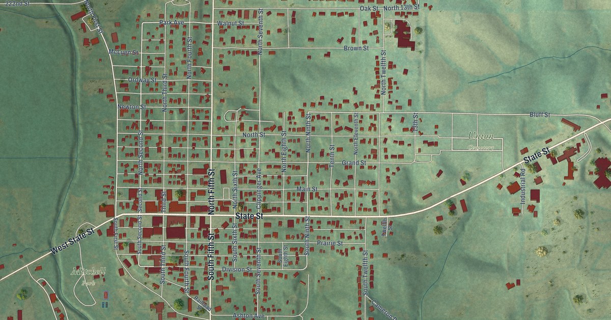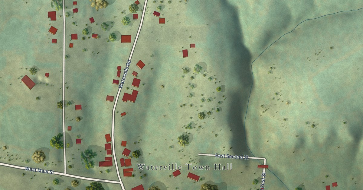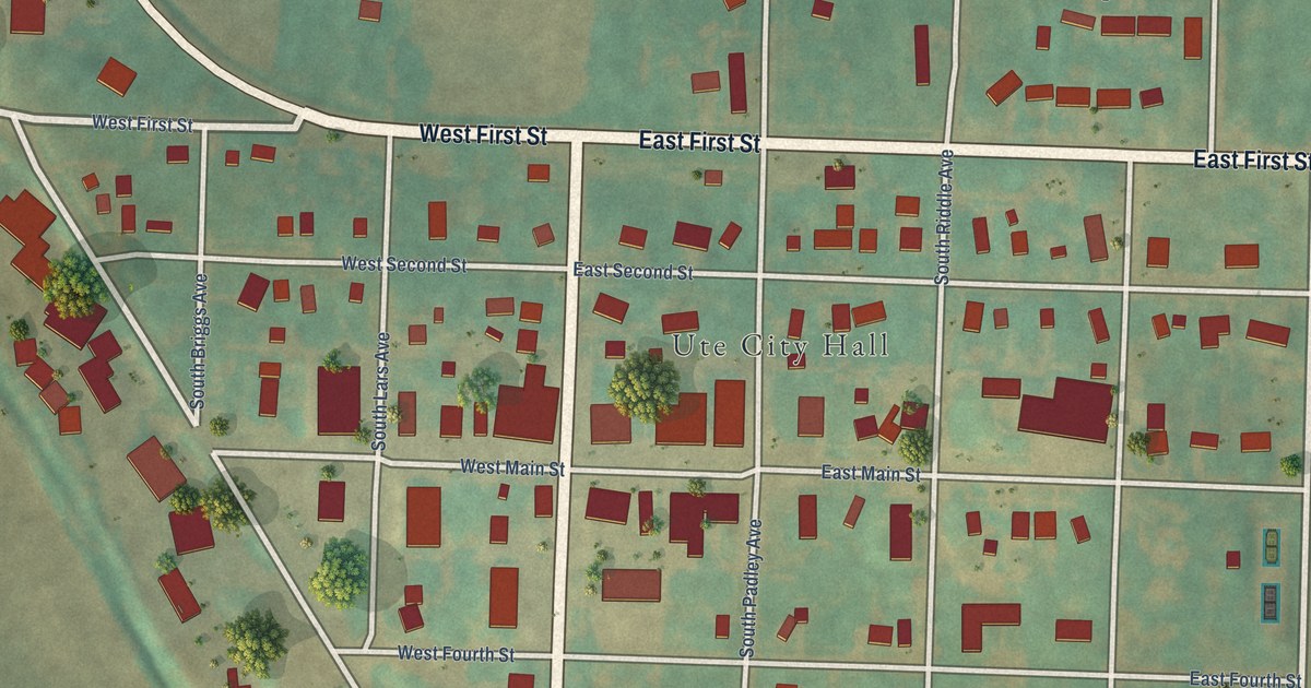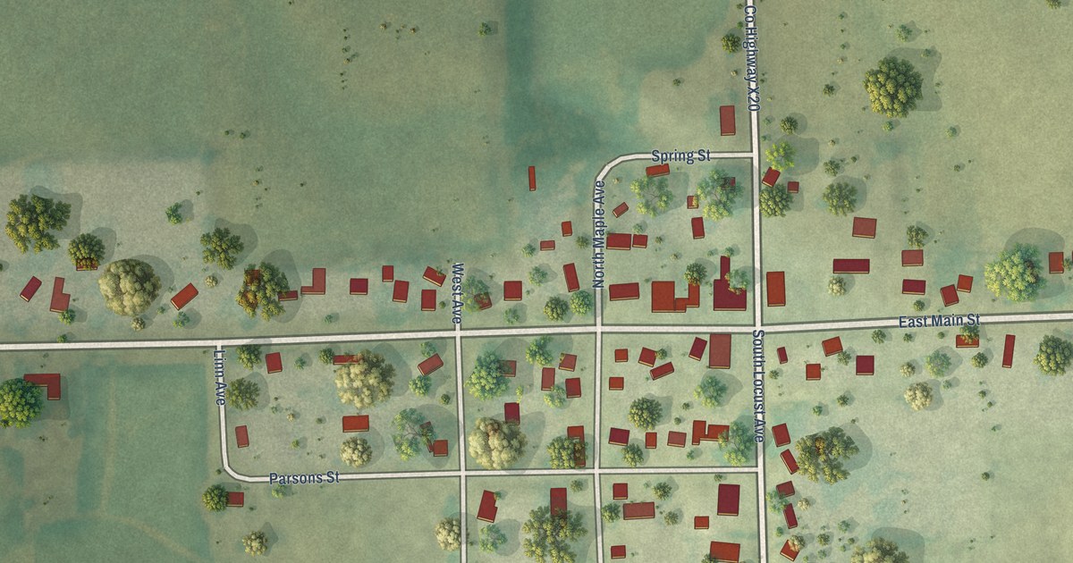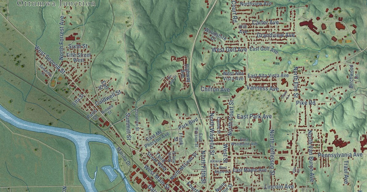
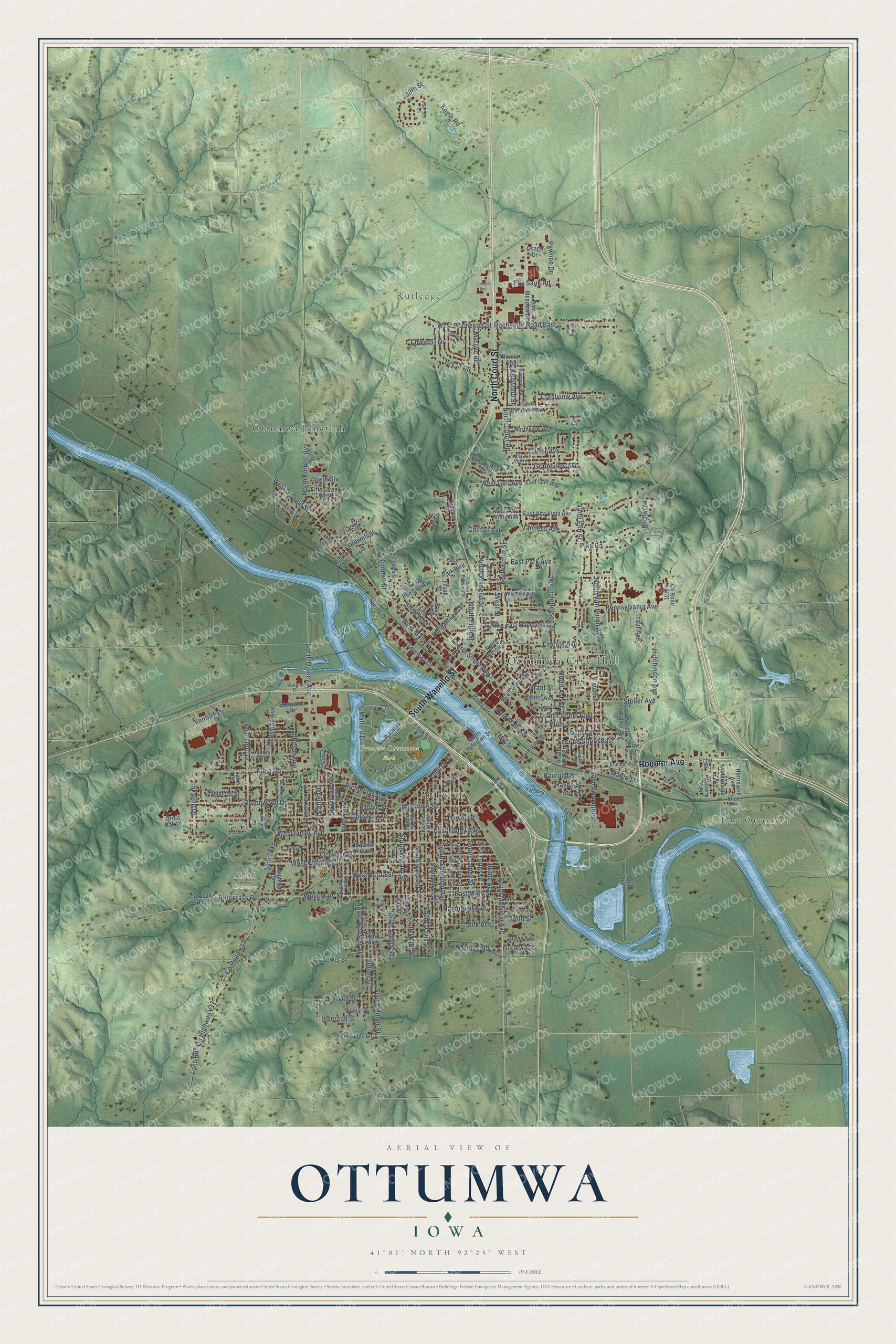
This beautifully detailed map of Ottumwa, Iowa was created in 2026 using aerial imagery combined with modern topographical, census, street and landmark data. It’s a one-of-a-kind view of Ottumwa that combines accurate data with a vintage aesthetic. The map shows every building in its true location, many of the roads carry their names, and the shaded topographic relief shows the shape of the land.
Explore an aerial view of Ottumwa, Iowa
On the map you’ll find Ottumwa City Hall, East Ottumwa, Rutledge, Pickwick, Greater Ottumwa Park, Shaul Cemetery, and Ottumwa Junction, along with South Wapello Street, Roemer Avenue, North Court Street, East Finley Avenue, North Elm Street, and more. If you look closely you can even find your house accurately drawn in its correct location. Zoom in on the preview to look for yours.
Did you know this piece of Ottumwa, Iowa history?
From the Western Historical Company: "As long ago as 1846, Ottumwa had a flouring-mill. The first one was built in that year by a Mr. Myers, and occupied the same territory as now covered by Postlewait's new elevator."
Take a closer look at the Ottumwa map
Street and place names on the Ottumwa, Iowa map
These names are printed on the map of Ottumwa, Iowa.
Places: Ottumwa City Hall, East Ottumwa, Rutledge, Pickwick, Greater Ottumwa Park, Shaul Cemetery and Ottumwa Junction.
Streets and roads: South Wapello Street, Roemer Avenue, North Court Street, East Finley Avenue, North Elm Street, East Main Street, West Main Street, Church Street, Rochester Road East, Second Street East, South Davis Street, South Sheridan Avenue.
More street names, A to Z
120th Avenue, 138th Street, Adeline Road, Albany Street, Albia Road, Angle Road, Anna Street, Arrison Street, Asbury Avenue, Baldwin Avenue, Birchwood Drive, Bluegrass Road, Bonita Avenue, Brick Row, Bruce Street, Bryan Road, Burns Avenue, Burrhus Street, Caldwell Street, Carter Avenue, Cass Street, Castle Street, Cedar Croft, Center Avenue, Chester Avenue, Chilton Avenue, Clarence Street, County Highway V17, County Road H31, County Road H41, County Road V17, Crestview Avenue, Dewey Street, Earl Street, East Alta Vista Avenue, East Division Street, East Elmdale Avenue, East Golf Avenue, East Maple Avenue, East Mary Street, East Mc Pherson Avenue, East Park Avenue, East Vine Street, East Woodland Avenue, Echo Street, Edwards Drive, Eleaner Drive, Ellis Avenue, Elma Street, Elm Court, Elm Street, Etta Street, Fifth Street West, Fourth Street East, Fourth Street West, Fox Sauk Road, Frank Street, Garfield Street, Gateway Drive, Gladstone Street, Glenwood Avenue, Gow Street, Grandview Avenue, Grant Street, Gray Street, Great Oak Drive, Greenwood Drive, Gurley Avenue, Hackberry Street, Hackworth Street, Hamilton Street, Hammond Avenue, Hand Avenue, Harvey Street, Hayne Street, Herrmann Avenue, Highway Avenue, Hill Avenue, Hutchinson Avenue, Ingersoll Street, Joe Lord Memorial Drive, Johnson Avenue, Joseph Avenue, Kenwood Street, Kingsley Drive, Lake Drive, Lake Road, Lark Lane, Leighton Street, Levee, Lewis Street, Lillian Street, Lincoln Avenue, Locust Street, Mable Street, Mallard Drive, Marilyn Road, Marina Drive, McKinley Avenue, Meadowdale Street, Merrouge Avenue, Mill Street, Minneopa Avenue, Monroe Avenue, Montagne Lane, Morrell Drive, Morris Street, North Ash Street, North Court Road, North Davis Street, North Ferry Street, North Fifth Street, North Forrest Avenue, North Green Street, North Holt Street, North Jefferson Street, North Marion Street, North McLean Street, North Pocahontas Street, North Quincy Avenue, North Van Buren Avenue, Northview Avenue, North Walnut Avenue, North Wapello Street, North Ward Street, Oak Meadow Drive, Orchard Street, Osage Drive, Osceola Street, Overman Avenue, Paris Street, Park Boulevard, Park Lane, Pawnee Drive, Pennsylvania Avenue, Pike Road, Pinehurst Circle, Pin Oak Drive, Plum Street, Prosser Street, Railroad Street, Ray Street, Richmond Avenue, River Drive, Riverside Lane, Samantha Street, Shaul Avenue, Sherwood Drive, Silk Avenue, Sixth Street, Skyline Drive, South Adella Street, South Ash Street, South Elm Street, South Ferry Street, South Hancock Street, South Iowa Avenue, South James Street, South Jefferson Street, South Madison Avenue, South Milner Street, South Moore Street, South Ransom Street, South Schuyler Street, South Street, South Vine Street, South Ward Street, South Webster Street, South Weller Street, South Willard Street, Steller Avenue, Summitt Street, Teal Drive, Third Street West, Traul Avenue, Tuttle Street, Vanness Avenue, Vaughn Drive, Venture Drive, Vine Street, Wapello Street, Waverly Avenue, Weller Street, West Alta Vista Avenue, West Finley Avenue, West Golf Avenue, West Keota Street, West Maple Avenue, West Mary Street, West Rochester Street, West Second Street, West Street, West Williams Street, Wildwood Drive, Woodshire Drive.
See the Ottumwa, Iowa map on a wall
The Ottumwa map as an 18 x 24 inch print in a black frame.

This beautifully detailed map of Ottumwa makes an attractive addition to your office, library, or den, and it can even be used to teach children the geography and history of the area. It also makes a great gift for anyone with Ottumwa roots. When you’re done exploring, click here to get your copy of the Ottumwa map.