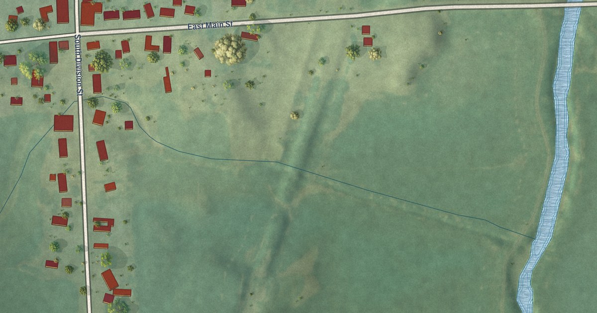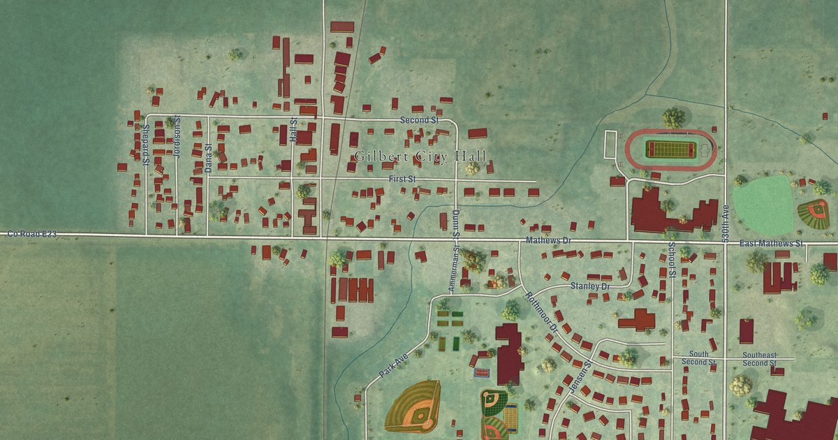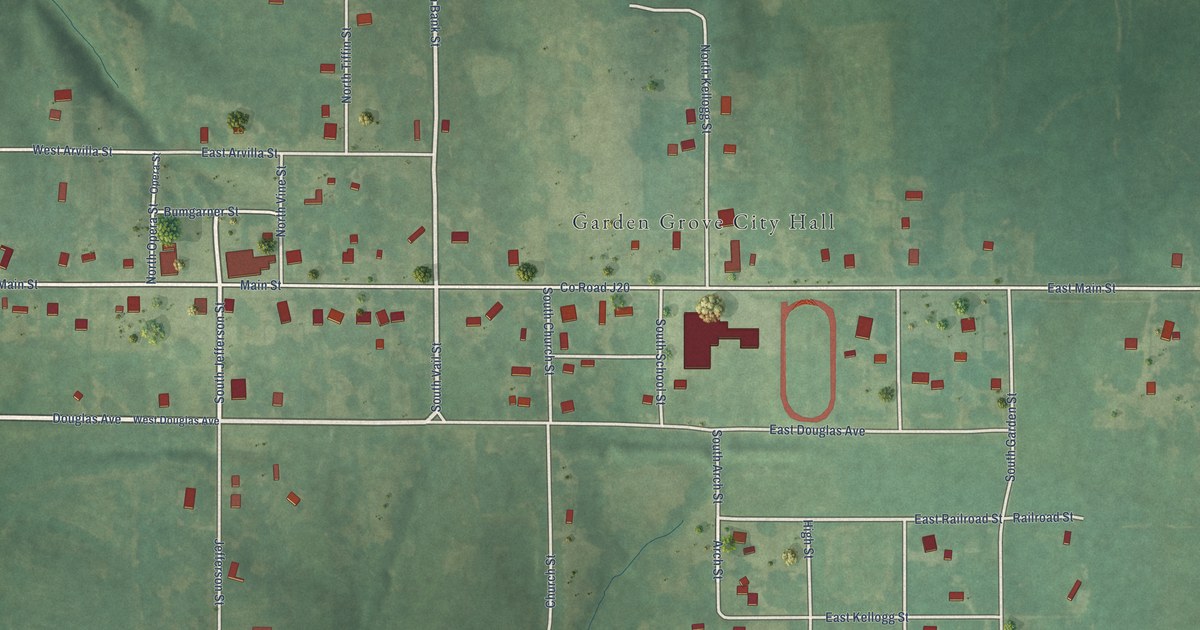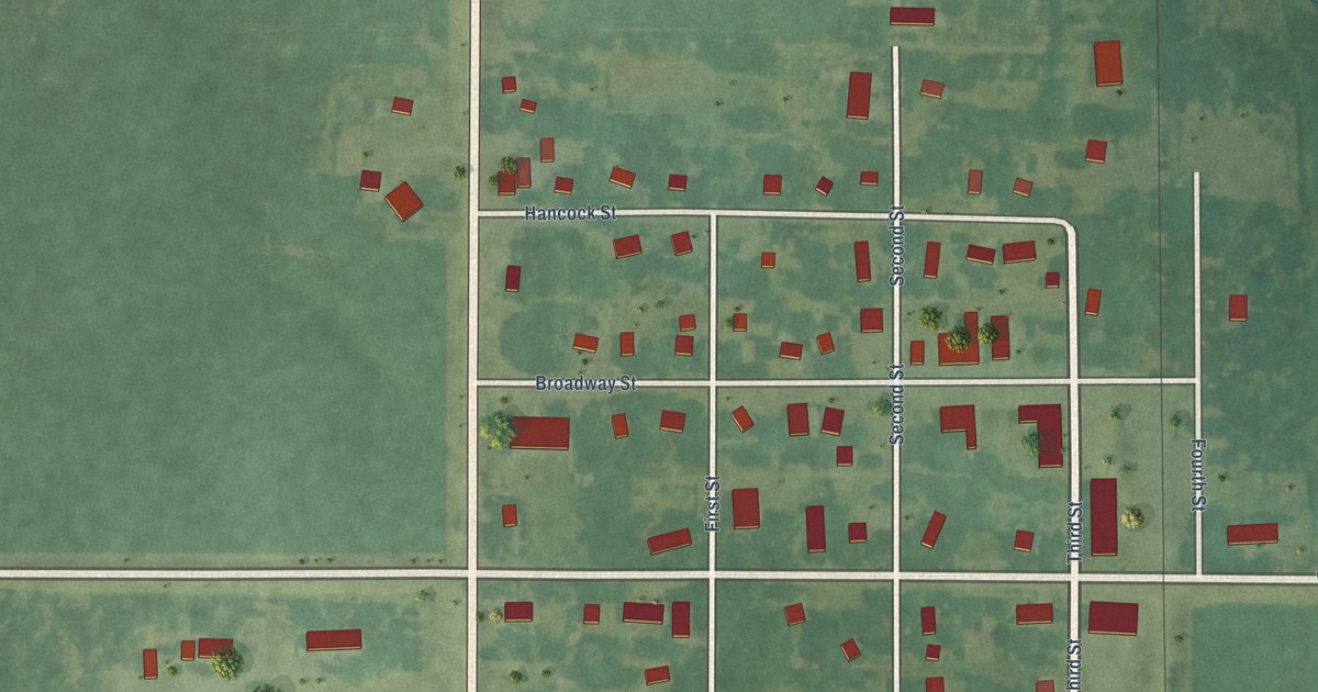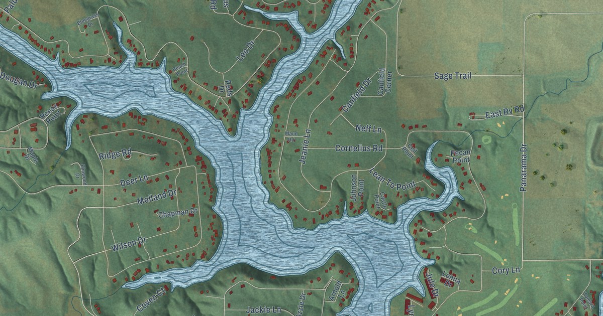
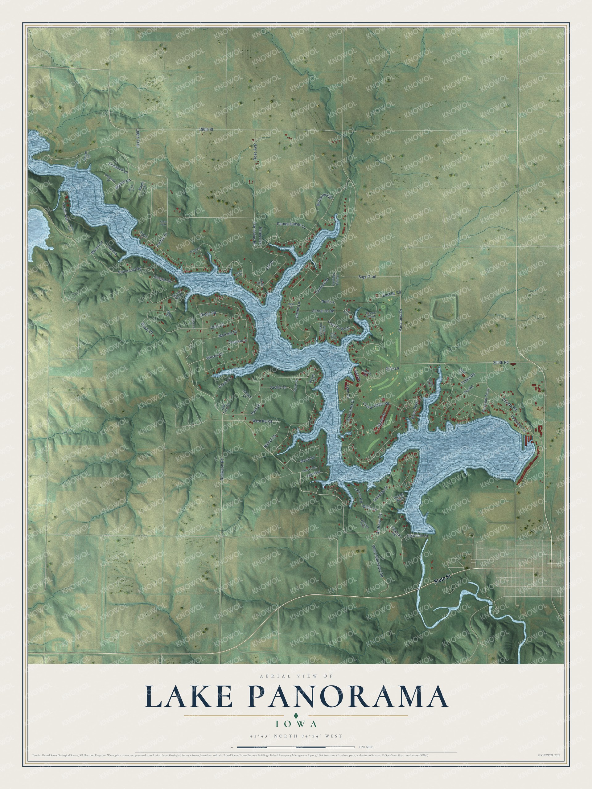
This beautifully detailed map of Lake Panorama, Iowa was created in 2026 using aerial imagery combined with modern topographical, census, street and landmark data. It's a modern aerial view of Lake Panorama in Guthrie County, Iowa, that combines modern data with a vintage aesthetic. The roads feature printed names, and if you look closely you can find your exact house accurately shown in its correct location.
Explore an aerial view of Lake Panorama, Iowa
On this map you'll find State Street, Panorama Road, Panorama Drive, 180th Trail, Panarama Drive, 200th Road, Parnecius Road, Sage Trail, Redwood Road, Clover Ridge Road, 180th Street, Chimra Road, and more. Each red shape is a building, so zoom in on the preview and look for yours.
Lake Panorama has a story worth telling. Guthrie County Extension director Louie Hansen believed a lake would help the county grow, and in the early 1960s he helped form the Guthrie County Lake Development Company. In a contest to choose a name, 23 people suggested Lake Panorama. Hansen bought the first lot, and at half past five in the morning on June 8, 1970, the dam gate closed and the lake began to fill. The idea was older than that. Lions Club members from Guthrie Center and Panora talked of damming the Middle Raccoon River as early as 1931. That's from the Lake Panorama Association.
Lake Panorama is a community in Guthrie County. The Census Bureau counted 1,266 people here in 2020.
Take a closer look at the Lake Panorama map
Names on this map
These names are printed on this map.
Places: Cherry Park.
Streets and roads: State Street, Panorama Road, Panorama Drive, 180th Trail, Panarama Drive, 200th Road, Parnecius Road, Sage Trail, Redwood Road, Clover Ridge Road, 180th Street, Chimra Road.
More street names, A to Z
Andrews Terrace, Arnold Lane, Aspen Cv, Beach Point, Bean Bend, Birch Lane, Bluegrass Drive, Bumps Bend, Burchfield Drive, Canfield Corner, Canfield Drive, Castle Point, Ceil Point, Chapman Drive, Chatham Lane, Chucks Hill, Cornelius Road, Cory Lane, Coven Court, Deer Lane, Donahey Drive, Dougan Drive, East Rv Road, Elmwood Drive, Elmwood Lane, Endira End, Guthrie Lane, Hanson Hill, Jackie Lane, Jansen Cv, Jeanie Lane, Johnson Point, Jule Drive, Karen Drive, Lakeview Point, Lake Way, Lean To Point, Leo Drive, Lonna Drive, Lynn Drive, Mack Road, Maple Drive, Maple Lane, Mason Drive, Maud Road, Miller Lane, Molland Drive, Neff Lane, Nester Point, Nicholl Drive, Oak Tree Cv, Ozzie Drive, Paldeo Drive, Panorama Point, Panorama Terrace, Parnecius, Parnephalene Lane, Pecan Lane, Pecan Point, Pete Drive, Petersen Hill, Pinewood Road, Poplar Avenue, Reds Drive, Reese Point, Ridge Road, Rose Avenue, Shady Court, Tamara Point, Tieble Road, Tie Road, Walnut Road, West Panorama Road, West Rv Road, Wilson Drive.
See it on a wall
The Lake Panorama map as a framed print. Swipe for more.


Created by KNOWOL in 2026. The buildings are small red shapes, the roads carry their printed names, and shaded relief shows the shape of the land. The title panel reads "AERIAL VIEW OF LAKE PANORAMA, IOWA" with 41°43' NORTH 94°24' WEST.
It looks right in a kitchen, an office or a den, and it's a gift for anyone who grew up in Lake Panorama or moved away. Open the preview and find your street. See sizes and frames for the Lake Panorama map.