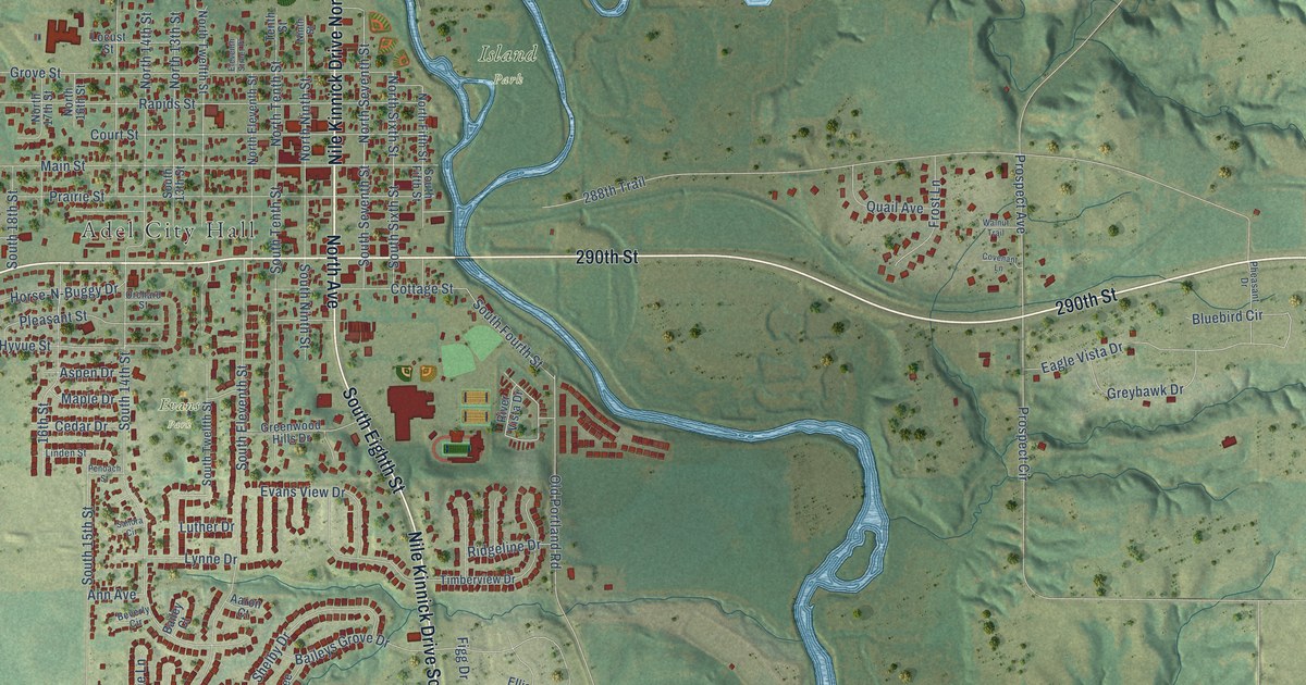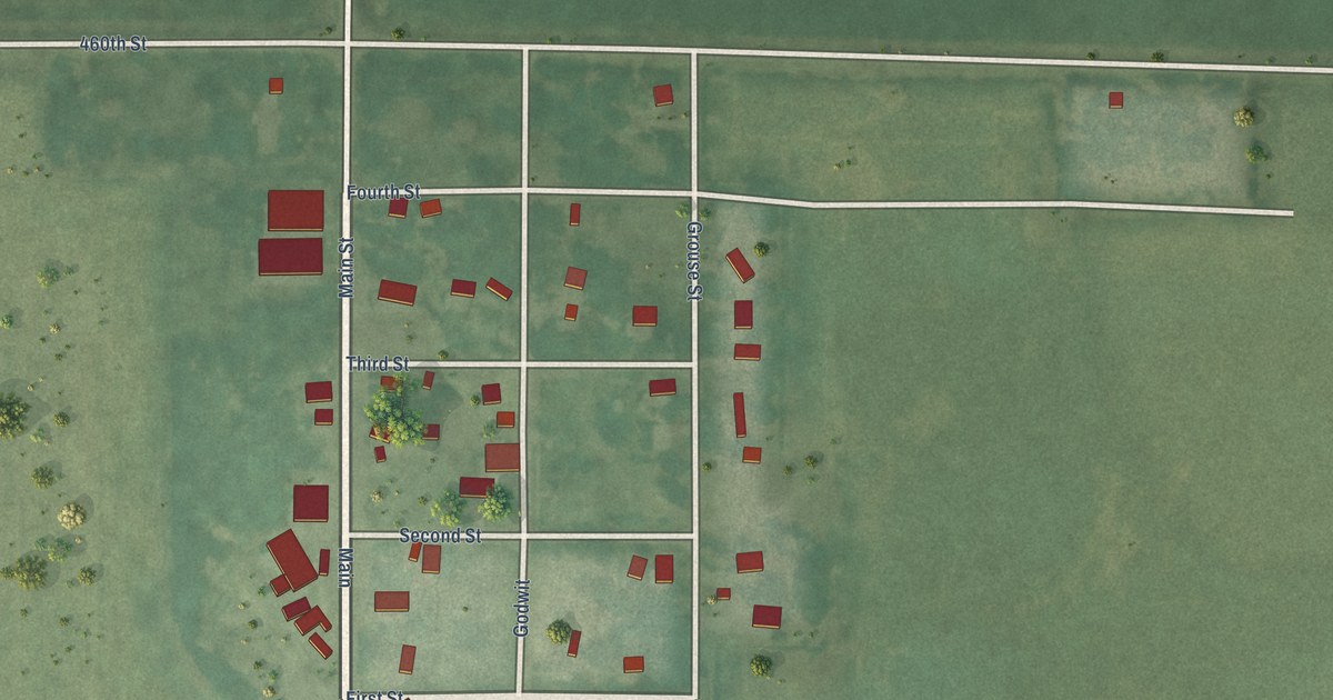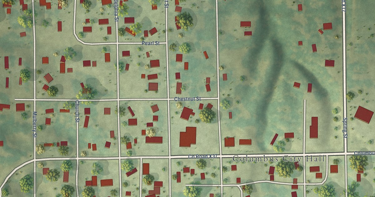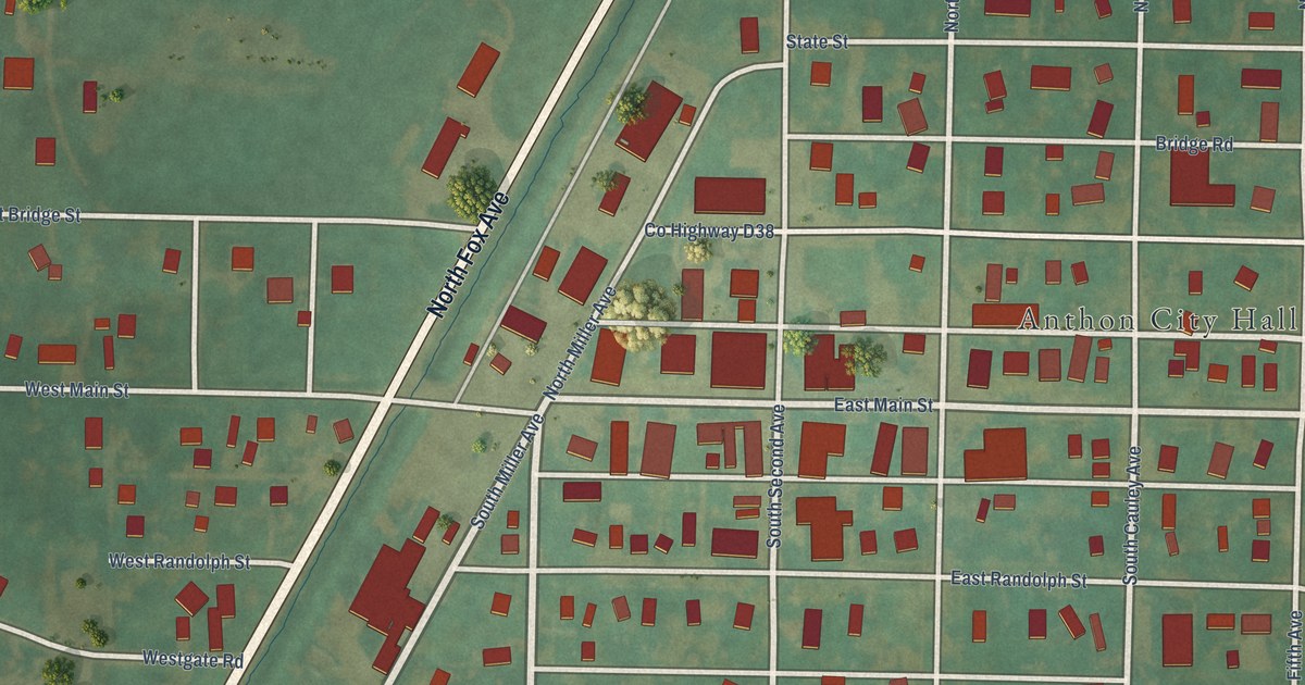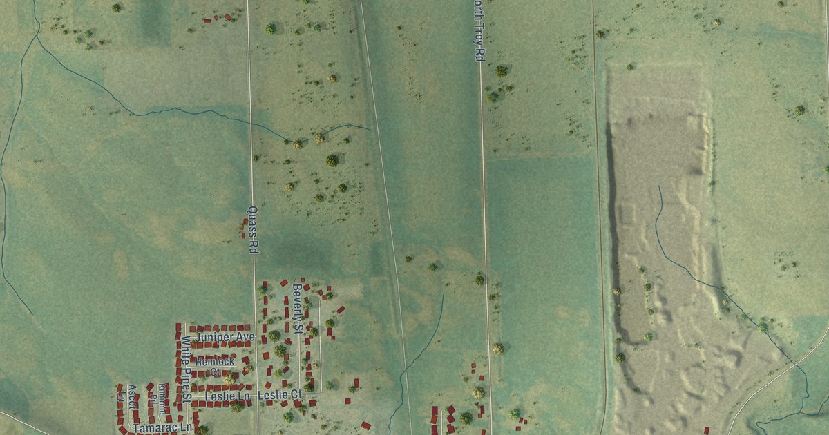
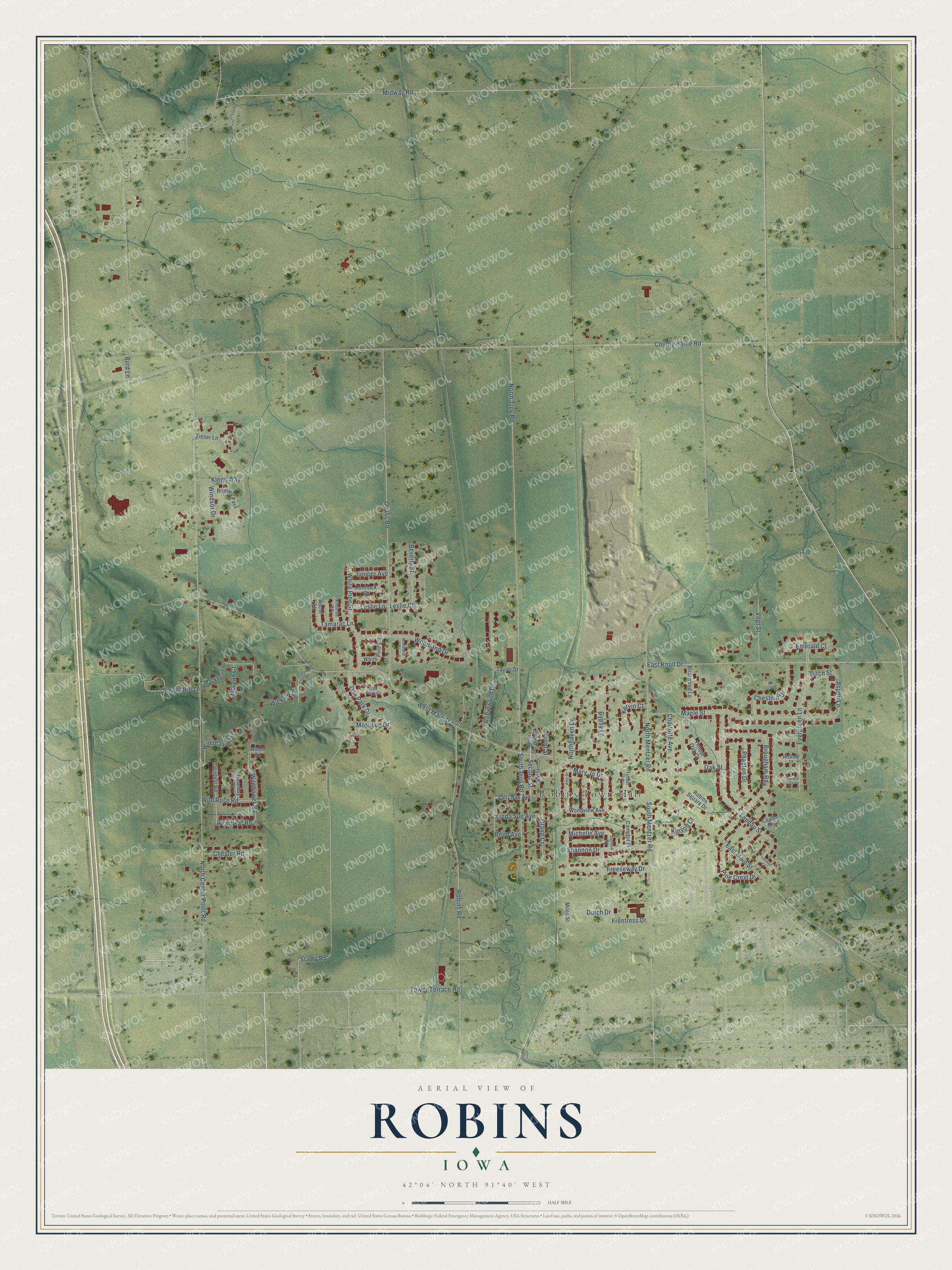
This beautifully detailed map of Robins, Iowa was created in 2026 using aerial imagery combined with modern topographical, census, street and landmark data. It's a modern aerial view of Robins in Linn County, Iowa, that combines modern data with a vintage aesthetic. The roads feature printed names, and if you look closely you can find your exact house accurately shown in its correct location.
Explore an aerial view of Robins, Iowa
On this map you'll find Robins Town Hall, Michelle Avenue, Second Street, Frentress Drive, Oak Street, South Mentzer Road, South Troy Road, Wildflower Road, Aspen Lane, Heartleaf Road, North Center Point Road, West Main Street, and more. Each red shape is a building, so zoom in on the preview and look for yours.
Robins is a city in Linn County. The Census Bureau counted 3,353 people here in 2020. The map prints the town name in its title panel, with the coordinates below it.
Take a closer look at the Robins map
Names on this map
These names are printed on this map.
Places: Robins Town Hall.
Streets and roads: Michelle Avenue, Second Street, Frentress Drive, Oak Street, South Mentzer Road, South Troy Road, Wildflower Road, Aspen Lane, Heartleaf Road, North Center Point Road, West Main Street, County Home Road.
More street names, A to Z
Amy Drive, Ascot Lane, Aster Road, Beverly Street, Birch Street, Briarwood Lane, Brimley Pass, Brougham Road, Burd Lane, Camelot Place, Charlotte Avenue, Chester Road, Chestnut Drive, Coach Circle, Cypress Court, Dutch Drive, East Knoll Drive, East Main Street, Emerald Court, Evergreen Lane, Freeseway Drive, Front Street, Grand Court, Gypsy Lane, Hemlock Court, Hickory Court, Joshua Lane, Juniper Avenue, Kervin Court, Kilbirnie Road, Kings Way, Kinson Court, Landau Court, Landau Street, Leslie Court, Leslie Lane, Linda Sue Avenue, Mackenzie Drive, Maple Street, Mary Jo Drive, Maxfield Lane, Midway Road, Miles Street, Morgan Court, Morrison Drive, Northhaven Drive, North Mentzer Road, North Second Street, North Troy Road, Oak Park Court, Oak Park Drive, Phaeton Drive, Pine Crest Drive, Quass Road, Reed Avenue, Robins Road, Robins Square Drive, Robinwood Drive, Rosebay Court, Sally Rae Avenue, Shannon Drive, Singer Hill Lane, Stamy Road, Tamarac Lane, Taylor Drive, Timber Lane, Timber Oak Court, Tower Terrace Road, Tullymore Drive, Twinleaf Road, Vogt Street, White Pine Circle, White Pine Street, Wicklow Drive, Wild Rose Road, Windhaven Lane, Windsor Drive, Woodland Court, Woodland Drive, Woodview Avenue, Zieser Lane.
Created by KNOWOL in 2026. The buildings are small red shapes, the roads carry their printed names, and shaded relief shows the shape of the land. The title panel reads "AERIAL VIEW OF ROBINS IOWA" with 42°04' NORTH 91°40' WEST.
It suits a den, a classroom or a front hall, and it makes a gift for anyone with Robins roots. Open the preview and find the block you know. See sizes and frames for the Robins map.