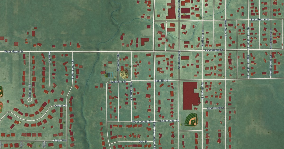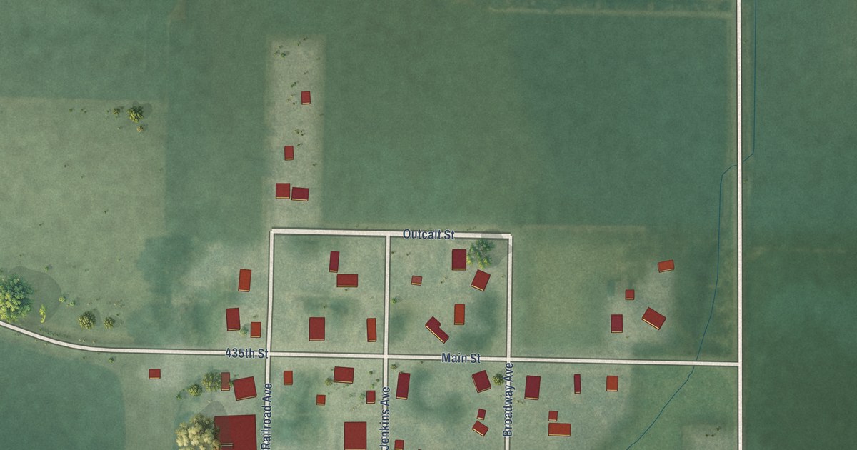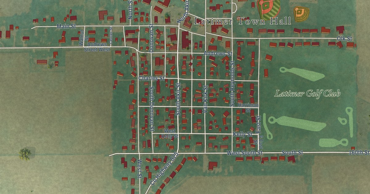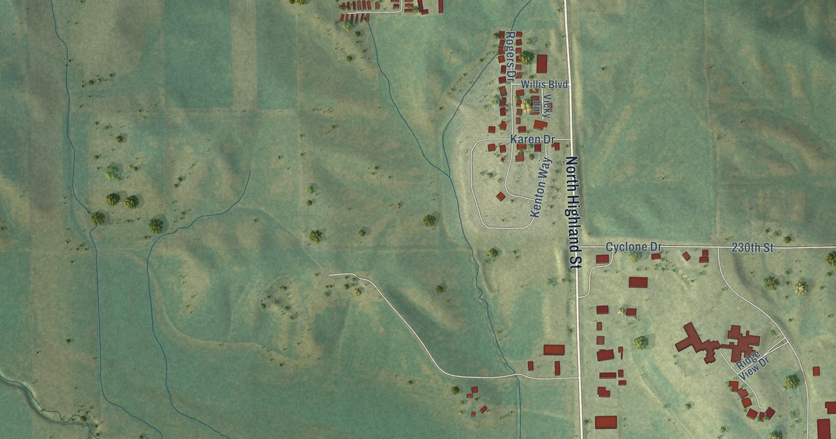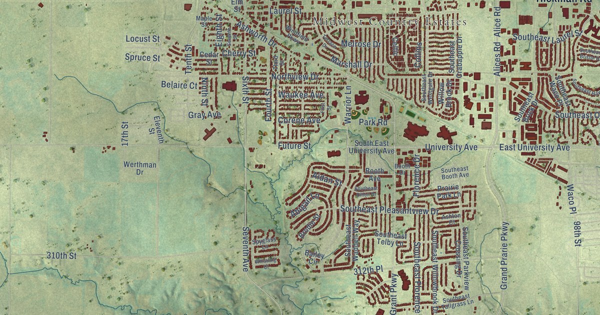
This beautifully detailed map of Waukee, Iowa was created in 2026 using aerial imagery combined with modern topographical, census, street and landmark data. It’s a one-of-a-kind view of Waukee that combines accurate data with a vintage aesthetic. The map shows every building in its true location, many of the roads carry their names, and the shaded topographic relief shows the shape of the land.
Explore an aerial view of Waukee, Iowa
On the map you’ll find Waukee City Hall and Midwest Country Estates, along with Hickman Road, Northwest Douglas Parkway, 300th Street, University Avenue, Warrior Lane, East University Avenue, Alice Road, Alices Road, West Avenue, Southeast Boone Drive, and more. If you look closely you can even find your house accurately drawn in its correct location. Zoom in on the preview to look for yours.
Did you know this piece of Waukee, Iowa history?
From the 1879 History of Dallas County, Iowa: "Waukee was laid out by L. A. Grant, now of Des Moines, in 1869, who formerly owned the land on which it stands."
Take a closer look at the Waukee map
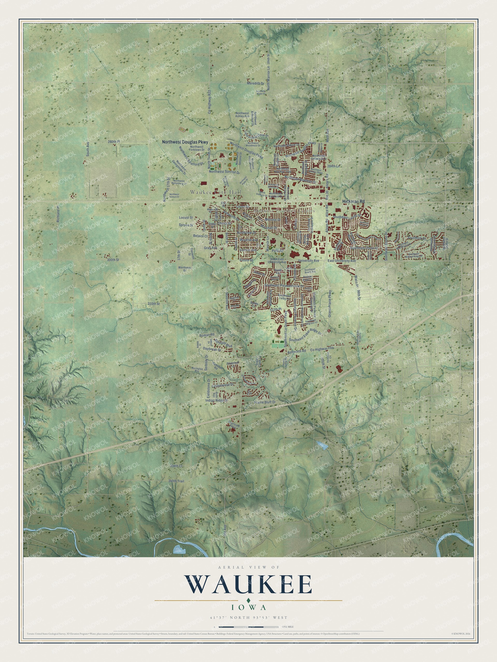
Street and place names on the Waukee, Iowa map
These names are printed on the map of Waukee, Iowa.
Places: Waukee City Hall and Midwest Country Estates.
Streets and roads: Hickman Road, Northwest Douglas Parkway, 300th Street, University Avenue, Warrior Lane, East University Avenue, Route 30, Alice Road, Alices Road, West Avenue, Southeast Boone Drive, Grand Prarie Parkway.
More street names, A to Z
17th Street, 98th Street, 105th Street, 184th Street, 280th Place, 284th Lane, 310th Street, 312th Place, 338th Court, 340th Trail, Abbott Drive, Abigail Lane, Adobe Drive, Aidan Street, Alice's Road, Ashton Court, Ashworth Drive, Ashworth Road, Bailey Circle, Belaire Court, Belmont Boulevard, Bison Trail, Booth Avenue, Booth Drive, Brodie Street, Cedar Street, Celtic, Cherry Street, Collins, Corene Avenue, Cottonwood Drive, County Highway F64, County Highway R22, Daybreak Drive, Eagle Drive, Eighth Street, Eleventh Street, Elm Street, Fieldstone Drive, First Street, Florence Drive, Fourth Street, Future Street, Gray Avenue, Hamilton Road, Harrington Way, Hunter Hollow Road, Indian Ridge Drive, Interstate Parkway, Laurel Street, Little Walnut Creek Drive, Locust Street, Maple Street, Marshall Drive, Melrose Drive, Meredith Drive, Ninth Street, Northeast Addison Drive, Northeast Badger Lane, Northeast Bobcat Drive, Northeast Boston Parkway, Northeast Bowman Drive, Northeast Dartmoor Drive, Northeast Dellwood Drive, Northeast Douglas Parkway, Northeast Fox Run Trail, Northeast Sunrise Drive, Northeast Venture Drive, Northeast Westgate Drive, North Tenth Street, North Venture Drive, Northview Drive, North Warrior Lane, Northwest 17th Street, Northwest 142nd Street, Northwest Alderleaf Drive, Northwest Ashley Avenue, Northwest First Street, Northwest Georgetown Drive, Northwest Gettysburg Lane, Northwest Prairie Rose Lane, Northwest Ryder Drive, Northwest Second Street, Northwest Sixth Street, Northwest Stratford Drive, Northwest Sunrise Drive, Northwest Venture Drive, Northwest Wilder Court, Northwest Woodmoor Drive, Northwest Yorktown Drive, Paintedwoods Drive, Park Road, Prairie Bluff Drive, Prairie Park Lane, Richland Place, Roman Road, Serenity Drive, Seventh Avenue, Seventh Street, Silverleaf Lane, Sixth Street, South Avenue, Southeast Booth Avenue, Southeast Brentwood Drive, Southeast Brick Drive, Southeast Bristol Drive, Southeast Crabapple Drive, Southeast Dillon Drive, Southeast Esker Ridge Drive, Southeast Florence Drive, Southeast Hawthorne Ridge Drive, Southeast Indigo Lane, Southeast La Grant Parkway, Southeast Laurel Street, Southeast Olson Drive, Southeast Parkview Crossing Drive, Southeast Pleasantview Drive, Southeast Tallgrass Lane, Southeast Telby Lane, South East University Avenue, Southeast Waco Place, Southeast Waddell Way, Southeast Walnut Ridge Drive, Southeast Westbranch Drive, Southeast Westgate Drive, Southeast Willowbrook Drive, Southfork Drive, Spruce Street, Spyglass Lane, Sugar Creek Lane, Tenth Street, Terrace Drive, Third Street, Ute Avenue, Vermillion Court, Waco Place, Waukee Avenue, Werthman Drive, Whistling Court, Willow Brook Drive, Windfield Parkway, Woodcrest Drive.
See the Waukee, Iowa map on a wall
The Waukee map as an 18 x 24 inch print in a black frame.

This beautifully detailed map of Waukee makes an attractive addition to your office, library, or den, and it can even be used to teach children the geography and history of the area. It also makes a great gift for anyone with Waukee roots. When you’re done exploring, click here to get your copy of the Waukee map.