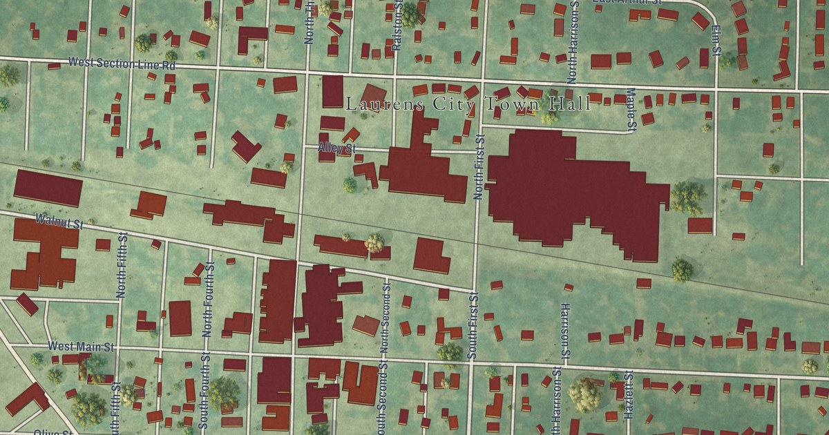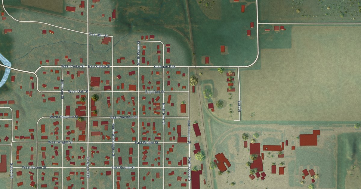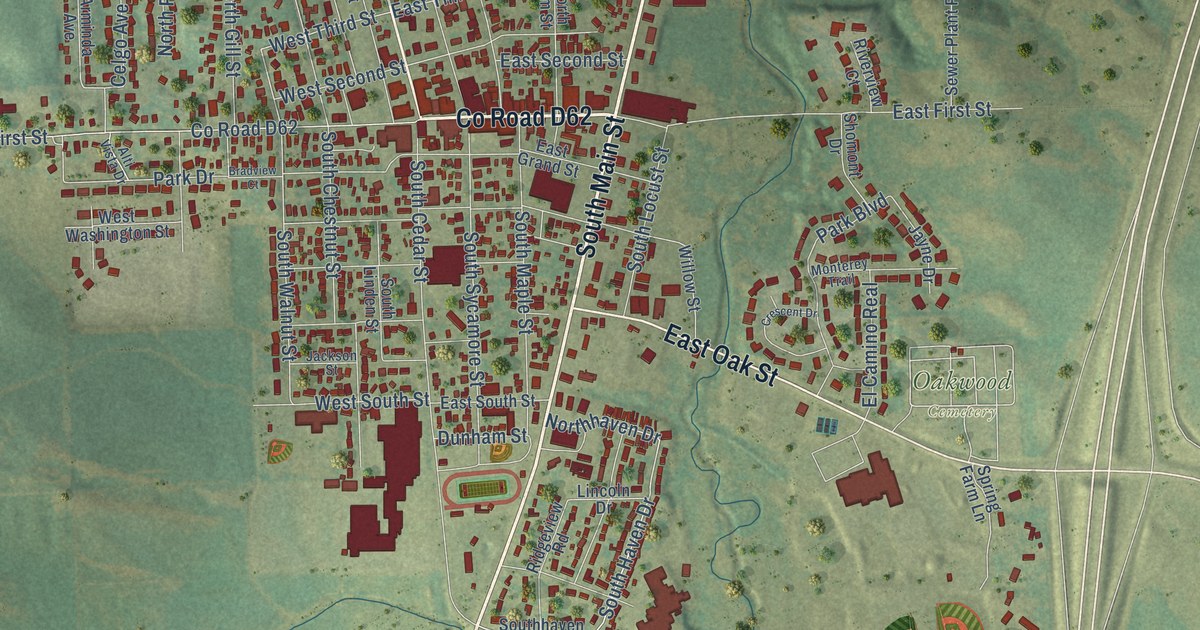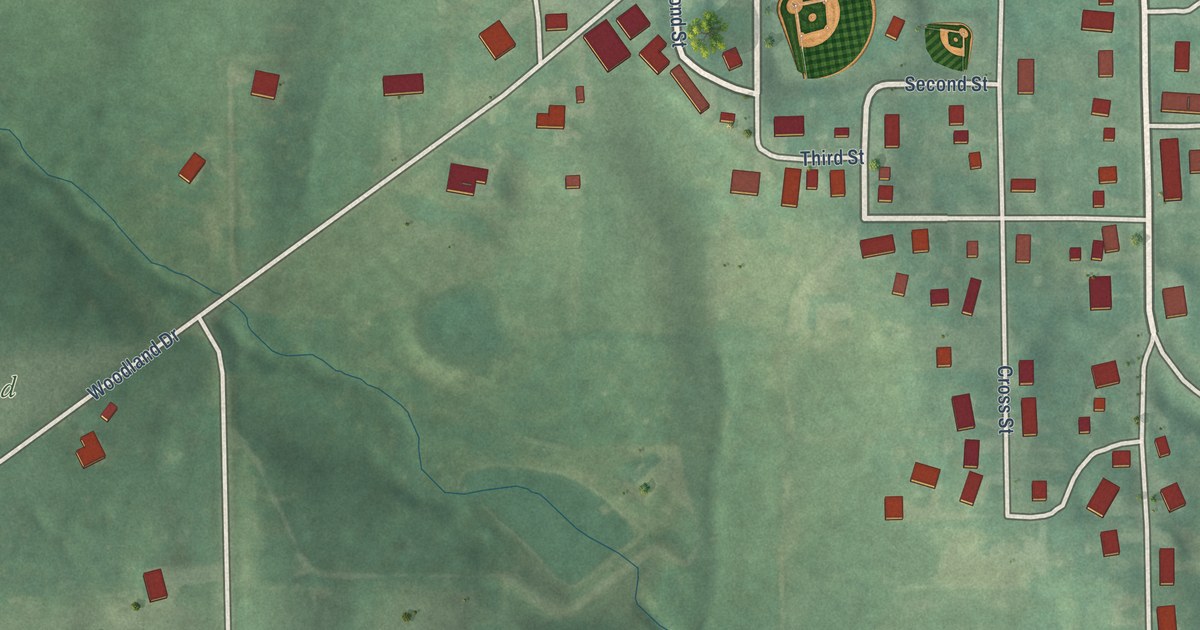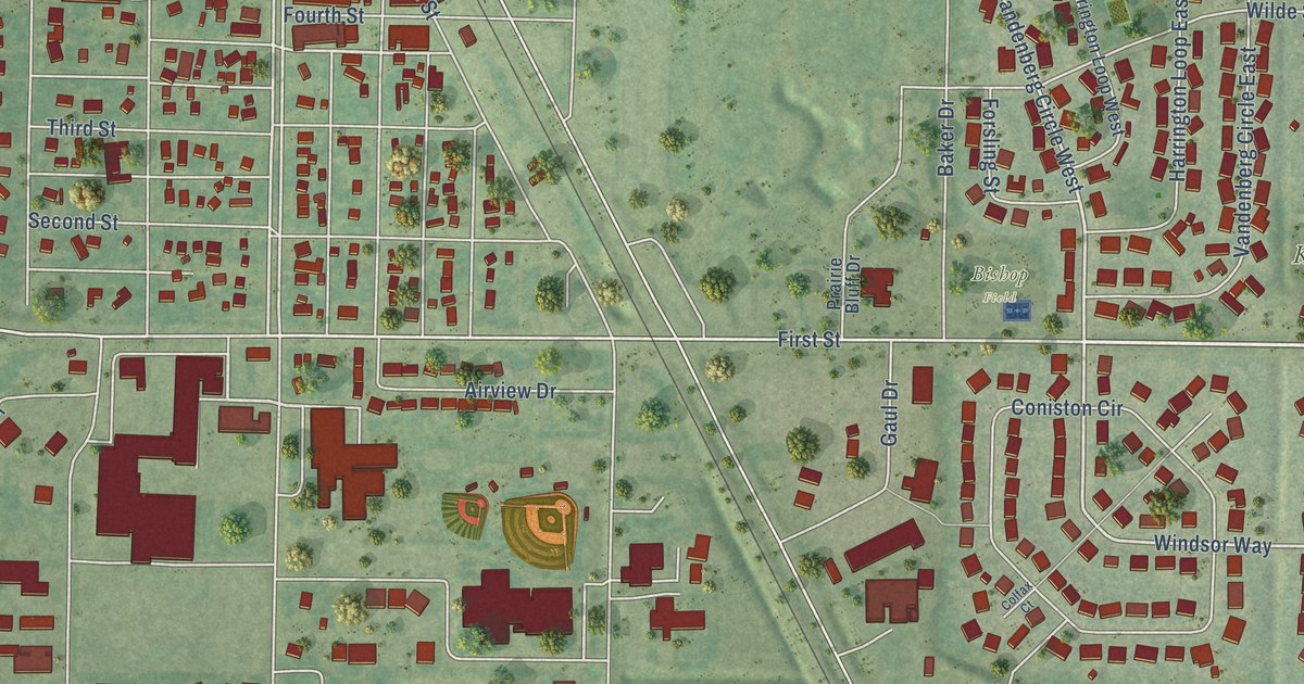
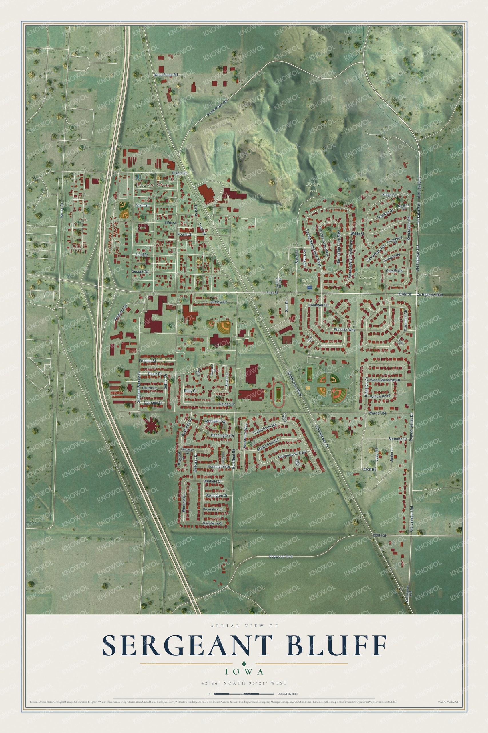
This beautifully detailed map of Sergeant Bluff, Iowa was created in 2026 using aerial imagery combined with modern topographical, census, street and landmark data. It’s a one-of-a-kind view of Sergeant Bluff that combines accurate data with a vintage aesthetic. The map shows every building in its true location, many of the roads carry their names, and the shaded topographic relief shows the shape of the land.
Explore an aerial view of Sergeant Bluff, Iowa
On the map you’ll find Estates West, Baker Park, Kiwanis Park, Bishop Field, and Old Lakeport, along with 210th Street, County Highway D38, Old Highway 141, South Ridge Road, Old Lakeport Road, Vandenberg Circle West, First Street, and more. If you look closely you can even find your house accurately drawn in its correct location. Zoom in on the preview to look for yours.
Did you know this piece of Sergeant Bluff, Iowa history?
From the City of Sergeant Bluff: "Under the name of Sergeant's Bluff City it was registered as the first formally platted town in Woodbury County, on November 20, 1854."
Take a closer look at the Sergeant Bluff map
Street and place names on the Sergeant Bluff, Iowa map
These names are printed on the map of Sergeant Bluff, Iowa.
Places: Estates West, Baker Park, Kiwanis Park and Bishop Field.
Streets and roads: 210th Street, County Highway D38, Old Highway 141, Old Lakeport, South Ridge Road, Old Lakeport Road, Vandenberg Circle West, First Street, Windsor Way, Old Highway 75, South Lewis Boulevard, Port Neal Road.
More street names, A to Z
220th Street, Airview Drive, Baker Drive, Barrington Drive, Baywood Court, Baywood Drive, Bennington Drive, Brookshire Court, Cameo Court, Canterbury Road, Canterbury Street, Cardiff Road, Carlisle Road, Carriage Lane, Clairmont Circle, Coffie Farm Lane, Coffie Farm Road, Colfax Court, Coniston Circle, Cottonwood Trail, County Highway K29, Crystal Court, Dogwood Trail, East Street, Eighth Street, Embassy Court, Embassy Drive, Fifth Street, Forsling Street, Fourth Street, Frontier Street, Front Street, Gaul Drive, Golden Drive, Harbor Drive, Harrington Loop East, Harrington Loop West, Huntington Court, Huntington Drive, Ivanhoe Drive, Ivanhoe Street, Jace Road, Jamie Lane, Kingsberry Court, Kings Court, Kingston Circle, Navan Way, Old Lake Port, Pioneer Valley Drive, Prairie Bluff Drive, Prairie Lane, Roundtable Road, Ruby Court, Second Street, Serenity Lane, Sergeant Square, Sergeant Square Drive, Settler Drive, Sheridan Court, Silver Lane, Sixth Street, Stable Path Road, Stonegate Circle, Third Street, Topaz Drive, Vandenberg Circle East, Warrior Road, West Ridge Road, Wilde Street, Wild Plum Way, Willow Bend, Winfield Circle, Winfield Court, Wood Meadows Drive, Zach Road.
See the Sergeant Bluff, Iowa map on a wall
The Sergeant Bluff map as an 18 x 24 inch print in a black frame.

This beautifully detailed map of Sergeant Bluff makes an attractive addition to your office, library, or den, and it can even be used to teach children the geography and history of the area. It also makes a great gift for someone who left Sergeant Bluff and still calls it home. When you’re done exploring, click here to get your copy of the Sergeant Bluff map.