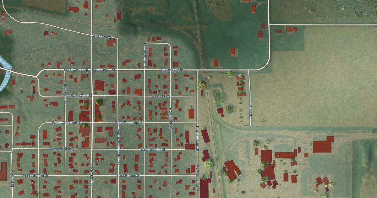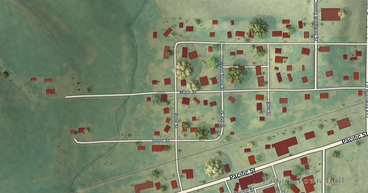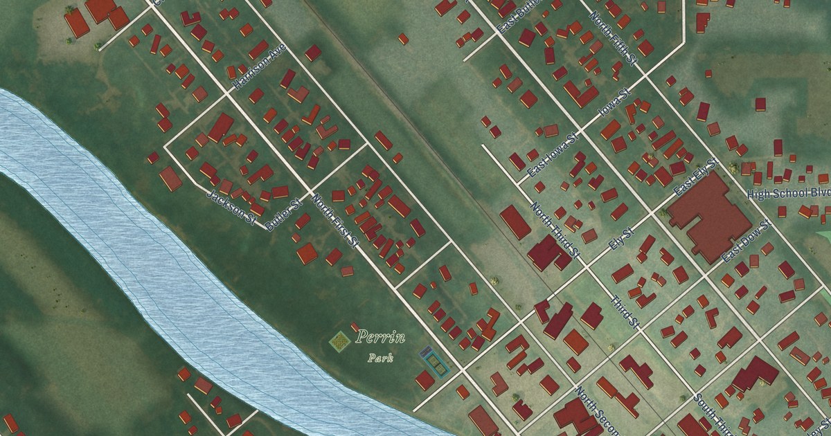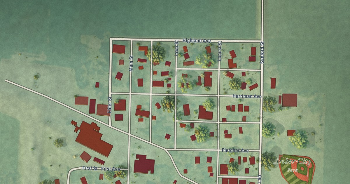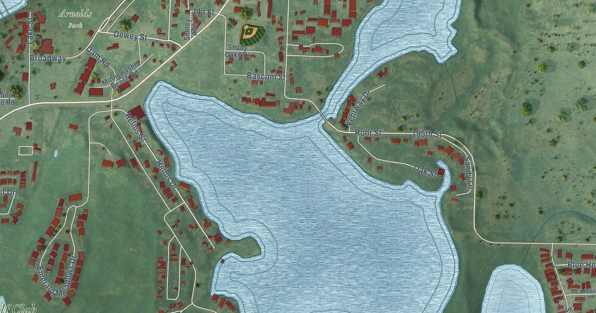
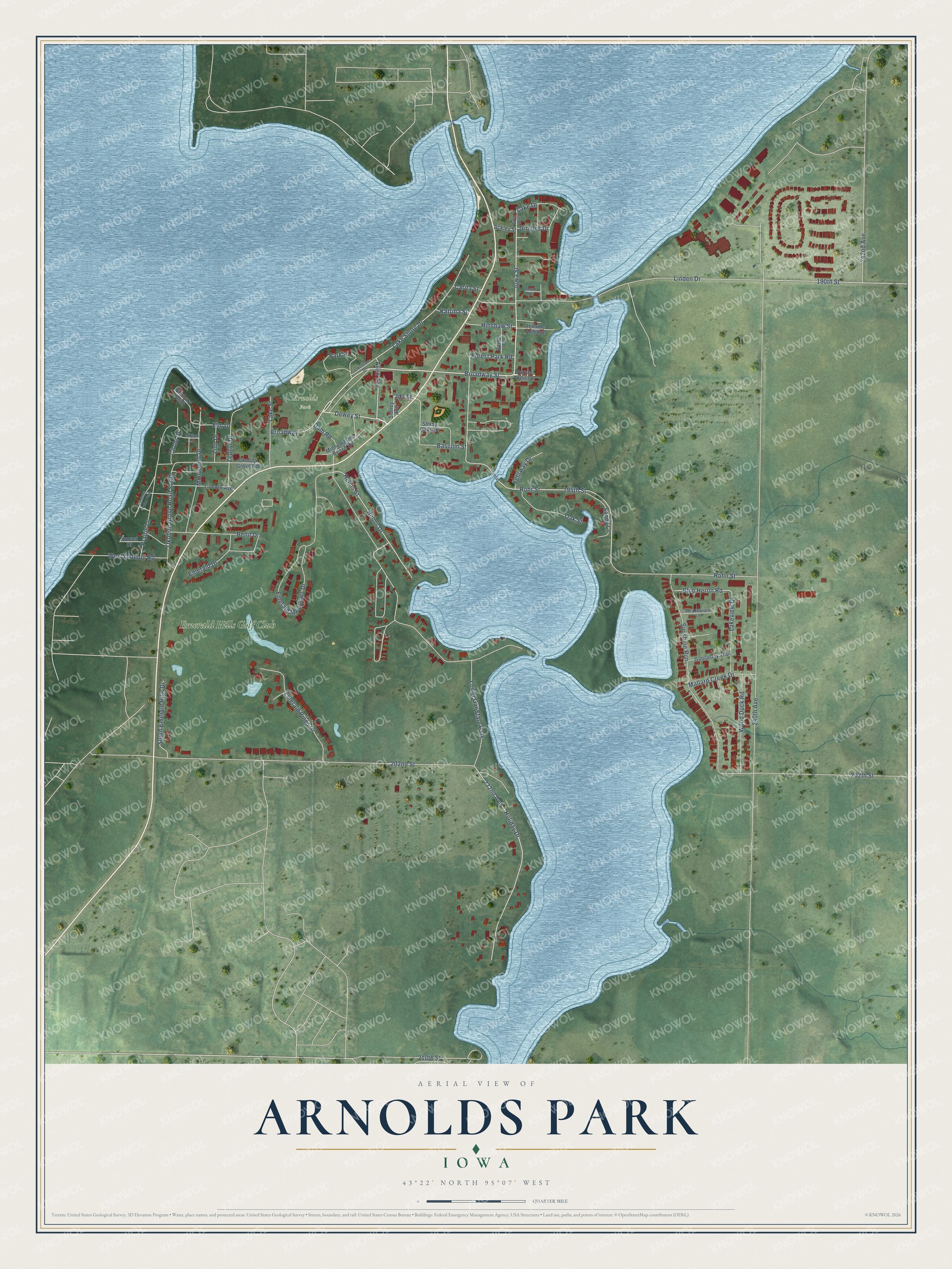
This beautifully detailed map of Arnolds Park, Iowa was created in 2026 using aerial imagery combined with modern topographical, census, street and landmark data. It's a modern aerial view of Arnolds Park in Dickinson County, Iowa, that combines modern data with a vintage aesthetic. The roads feature printed names, and if you look closely you can find your exact house accurately shown in its correct location.
Explore an aerial view of Arnolds Park, Iowa
On this map you'll find Arnolds Park, Emerald Hills Golf Club, Broadway Street, Iowa Street, Dewey Street, Allen Avenue, Elm Drive, Katrina Street, Rohr Street, Linden Drive, Dam Road, 202nd Street, and more. Each red shape is a building, so zoom in on the preview and look for yours.
Here is a piece of Arnolds Park history, in the words of the record. The City of Arnolds Park puts it this way: "Arnolds Park is known as the city of five lakes. Those lakes are West and East Lake Okoboji, Lake Minnewashta, and Upper and Lower Gar Lakes."
Arnolds Park is a city in Dickinson County. The Census Bureau counted 1,110 people here in 2020.
Take a closer look at the Arnolds Park map
Names on this map
These names are printed on this map.
Places: Arnolds Park, Emerald Hills Golf Club, Lower Gar State Park and Pillsbury Point Park.
Streets and roads: Broadway Street, Iowa Street, Dewey Street, Allen Avenue, Elm Drive, Katrina Street, Rohr Street, Linden Drive, Dam Road, 202nd Street, 240th Avenue, Emerald Meadows Drive.
More street names, A to Z
190th Street, 195th Street, 202th Street, 210th Street, 232nd Avenue, 242nd Avenue, Ackley Street, Barton Drive, Bascom Street, Benit Drive, Blue Heron Road, Broadway, Carita Street, Circle Drive, Emerald Drive, Emerald Pines Drive, Fehrway Drive, First Avenue, Forest Park Road, Gingles Drive, Goosebay Trail, Helms Drive, Helms Street, Hillside Addition, Hinshaw Street, Holiday Drive, Ida Street, Lake Drive, Lake Shore Drive, Lakeshore Drive, Lake Street, Lakeview Drive, Lincoln Avenue, Linn Drive, Mallard Creek Drive, Meadowlark Lane, Minnewashta Beach Road, Miriam Lane, Monument Drive, Mook Lane, Oak Street, Okoboji Grove Road, Okoboji Grove Road South, Park Place, Pillsbury Point, Prairie Lane, Rohn Street, Sandy Lane, Shady Oaks Drive, Sidney Avenue, South Emerald Hills Drive, Sunset Drive, Sunshine Run, Warner Addition, West Okoboji Road, Wood Duck Road, Zephyr Drive.
Created by KNOWOL in 2026. The buildings are small red shapes, the roads carry their printed names, and shaded relief shows the shape of the land. The title panel reads "AERIAL VIEW OF ARNOLDS PARK IOWA" with 43°22' NORTH 95°07' WEST.
It suits a den, a classroom or a front hall, and it makes a gift for anyone with Arnolds Park roots. Open the preview and find the block you know. See sizes and frames for the Arnolds Park map.