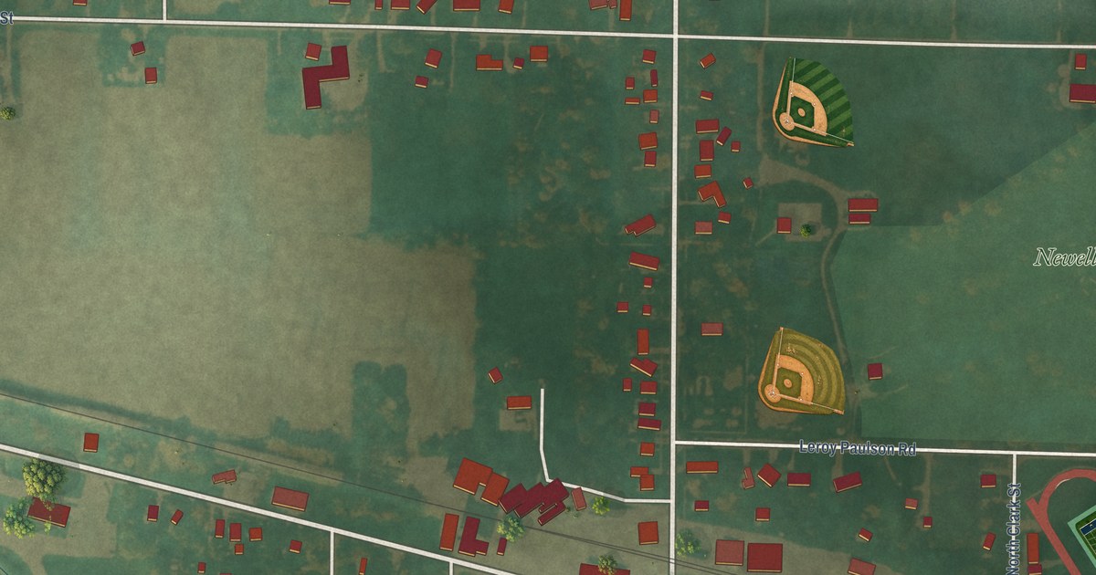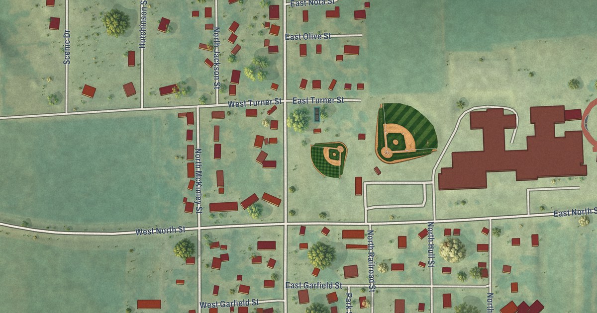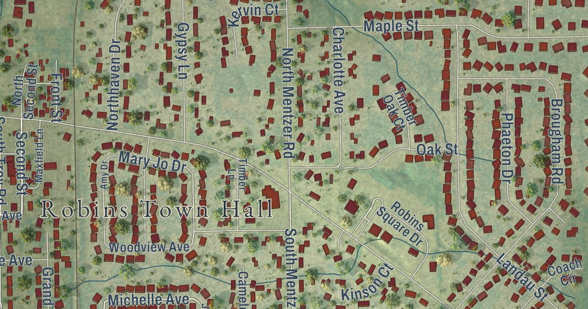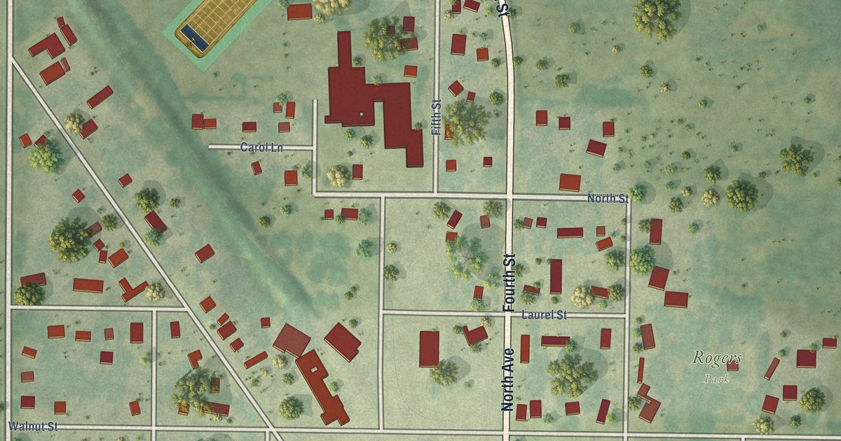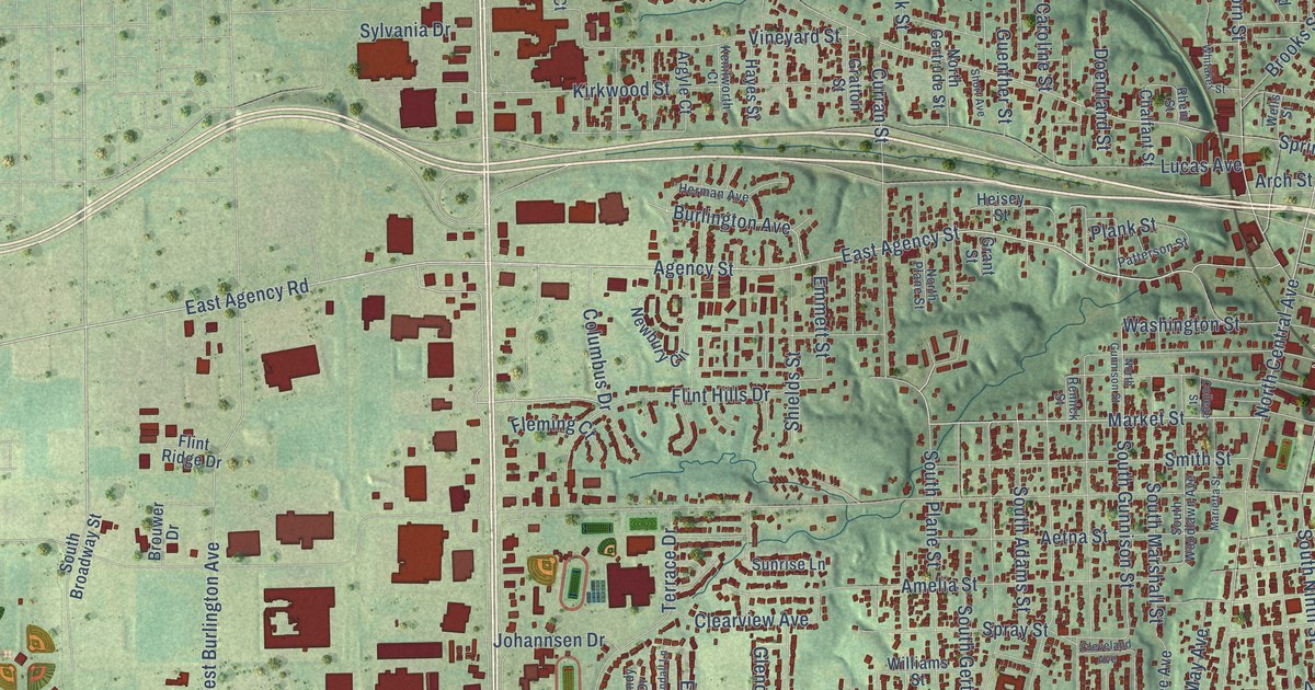
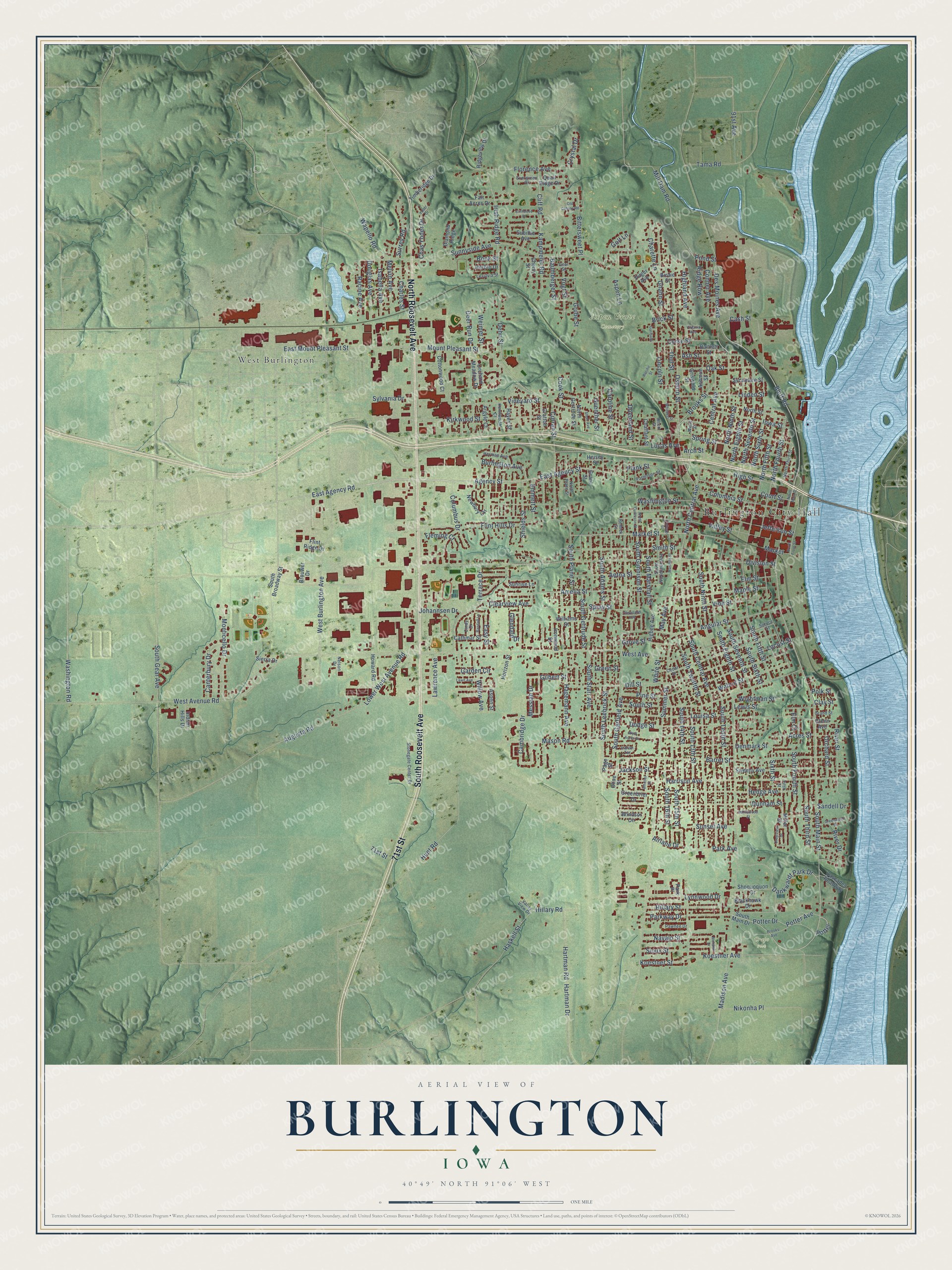
This beautifully detailed map of Burlington, Iowa was created in 2026 using aerial imagery combined with modern topographical, census, street and landmark data. It’s a one-of-a-kind view of Burlington that combines accurate data with a vintage aesthetic. The map shows every building in its true location, many of the roads carry their names, and the shaded topographic relief shows the shape of the land.
Explore an aerial view of Burlington, Iowa
On the map you’ll find Burlington City Hall, Aspen Grove Cemetery, Crapo Park, and West Burlington, along with South Roosevelt Avenue, 71st Street, North Roosevelt Avenue, South Main Street, Market Street, North Central Avenue, East Mount Pleasant Street, East Agency Road, and more. If you look closely you can even find your house accurately drawn in its correct location. Zoom in on the preview to look for yours.
Did you know this piece of Burlington, Iowa history?
From the History of Des Moines County: "A postoffice was not established in Burlington until 1835, of which Dr. William Ross was appointed postmaster."
Take a closer look at the Burlington map
Street and place names on the Burlington, Iowa map
These names are printed on the map of Burlington, Iowa.
Places: Burlington City Hall, Aspen Grove Cemetery, Crapo Park and West Burlington.
Streets and roads: South Roosevelt Avenue, 71st Street, North Roosevelt Avenue, South Main Street, Market Street, North Central Avenue, East Mount Pleasant Street, East Agency Road, Central Avenue, Agency Street, Bluff Road, Washington Road.
More street names, A to Z
91st Avenue, Acres Street, Aetna Street, Airlane Drive, Amelia Street, Angular Street, Arch Street, Argyle Court, Ashmun Street, Ash Street, Aspen Lane, Aspen Street, Augusta Road, Barret Street, Bartlett Street, Baumberger Street, Birdie Street, Bittersweet Place, Blackhawk Drive, Bock Street, Brick Street, Brooks Avenue, Brooks Street, Brouwer Drive, Burlington Avenue, Cambridge Drive, Canterbury Drive, Caroline Street, Cascades Roadway, Cash Street, Cathmar Street, Cedar Street, Chalfant Street, Charette Lane, Charles Street, Chas Yoder Drive, Cherry Street, Cindy Drive, Clay Street, Clearview Avenue, Cleveland Avenue, Cliff Road, Cliffwood Drive, College Street, Columbia Street, Columbus Drive, Conner Avenue, Cook Street, Corse Street, Cottonwood Court, Court Street, Crestview Drive, Crystal Drive, Curran Street, Dankwardt Park Drive, Deer Run Drive, Dehn Street, Denmark Street, Des Moines Avenue, Diamond Ridge, Dill Street, Division Street, Dodge Street, Doemland Street, Douglas Avenue, Dunham Street, East Agency Street, Easy Street, Elm Court, Elm Street, Emmett Street, Evergreen Drive, Fair Acres Drive, Fifth Street, Fleming Court, Flint Hills Drive, Flint Ridge Drive, Florence Avenue, Garden Circle, Garibaldi, Gear Street, Gilbert Street, Glendale Drive, Glenn Avenue, Gnahn Street, Golf Lane, Grand Street, Grant Street, Gratton Street, Greenbrier Drive, Green Street, Greenwood Drive, Griswold Street, Grove Street, Grube Street, Guenther Street, Hagemann Avenue, Harrison Avenue, Hartman Drive, Hartman Road, Haskell Street, Hayes Street, Hedge Avenue, Heisey Street, Herblo Drive, Herman Avenue, Higbee Avenue, Highland Avenue, High Street, Hillary Road, Hillary Street, Horizon Street, Howard Road, Hunt Road, Indian Hills Drive, Indian Terrace, Iowa Street, Irish Ridge Road, Ironwood Street, Isabella Avenue, Jackson Street, Jefferson Street, Johannsen Drive, Kampmeier Road, Kenilworth Court, Kirkwood Street, Koestner Avenue, Koestner Street, Lawn Avenue, Lawrence Avenue, Lesylvia Street, Lewis Street, Lincoln Street, Linden Street, Locust Street, Louisa Street, Lower West Avenue Road, Lucas Avenue, Lynnwood Drive, Madison Avenue, Maple Street, Marietta Street, Market, Mason Road, May Avenue, Melvin Avenue, Messiah Drive, Mill Dam Road, Miller Street, Mohawk Drive, Monticello Drive, Mount Pleasant Street, Navajo Street, Nelson Drive, Newbury Circle, Nikonha Place, North Eighth Street, North Fifth Street, North Fourth Street, North Front Street, North Gertrude Street, North Gunnison Street, North Main Street, North Ninth Street, North Plane Street, North Seventh Street, North Sixth Street, North Street, North Third Street, Oak Street, Old Colony Road, Olive Street, Orchard Meadow Drive, Orchard Street, Osborn Street, Pacific Street, Page Street, Park Avenue, Park Place, Parkway Drive, Patterson Street, Pawnee Drive, Pilger Avenue, Pine Street, Plank Street, Polk Street, Pond Street, Potter, Potter Avenue, Potter Drive, Quail Ridge Drive, Racine Avenue, Randall Lane, Remick Street, Rhein Street, Ridge Row, Ridgeview Drive, River Drive, River Street, Sandell Drive, Shields Street, Shoquoquon Drive, Short Avenue, Sierra Drive, Sioux Street, Sixth Street, Smith Street, South 13th Street, South 14th Street, South 15th Street, South 16th Street, South Adams Street, South Broadway Street, South Central Avenue, South Eighth Street, South Fifth Street, South Fourth Street, South Garfield Avenue, South Gear Avenue, South Gertrude Street, South Gunnison Street, South Leebrick Street, South Main Drive, South Marshall Street, South Ninth Street, South Plane Street, South Seventh Street, South Sixth Street, South Starr Avenue, South Street, South Tenth Street, South Third Street, South Twelfth Street, South Woodlawn Avenue, Spray Street, Spring Street, Spruce Street, Stonegate Center Drive, Subilbe Avenue, Summer Street, Sunnyside Avenue, Sunrise Lane, Sunset Avenue, Surrey Road, Sweeny Avenue, Sycamore Street, Sylvania Drive, Tama Road, Terrace Drive, Thul Street, Timberidge Drive, Valley Street, Valley View Drive, Vine Street, Vineyard Street, Virginia Avenue, Vogt Street, Walnut Street, Wapello Road, Washington Street, Weimer Street, Wells Street, West Acres Drive, West Avenue, West Avenue Road, West Burlington Avenue, Whitaker Street, White Street, Whitewood Street, Whittier Street, Wightman Street, Williams Street, Willow Avenue, Windsor Circle, Yoder Drive.
See the Burlington, Iowa map on a wall
The Burlington map as an 18 x 24 inch print in a black frame.

This beautifully detailed map of Burlington makes an attractive addition to your office, library, or den, and it can even be used to teach children the geography and history of the area. It also makes a great gift for someone who left Burlington and still calls it home. When you’re done exploring, click here to get your copy of the Burlington map.