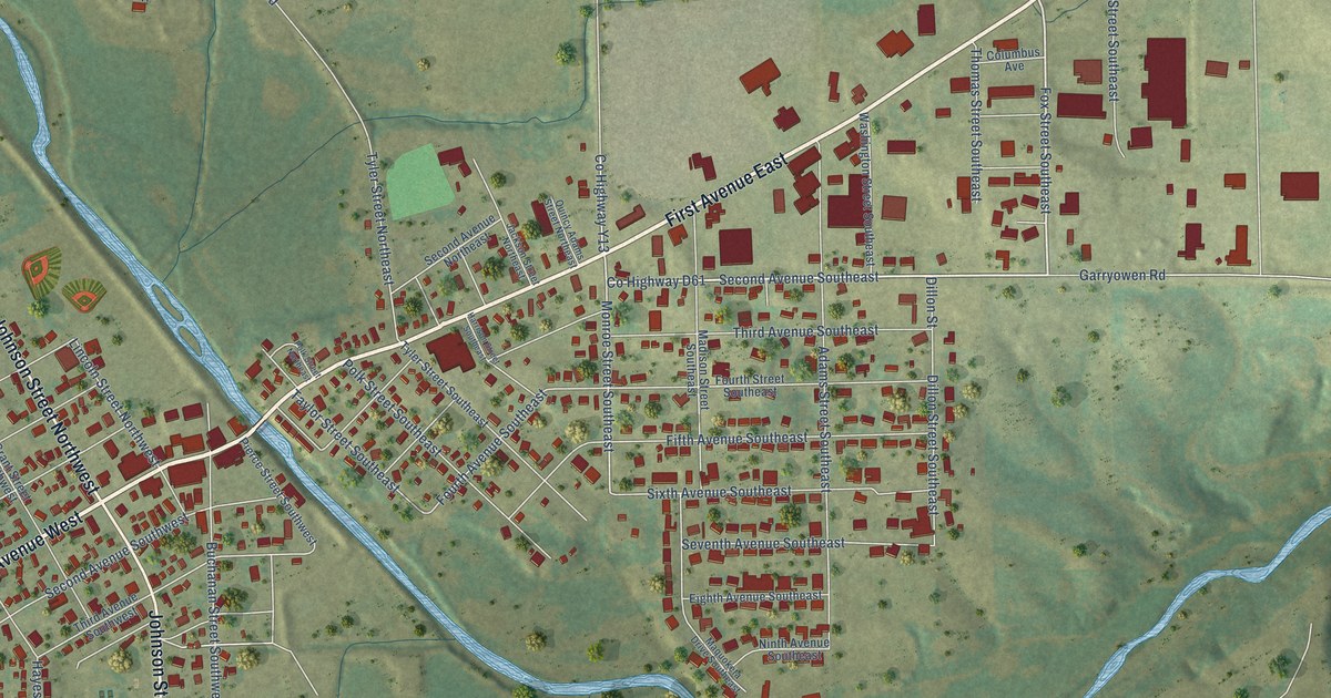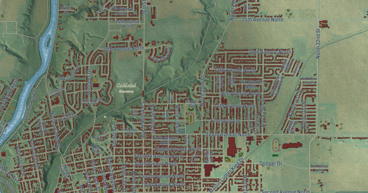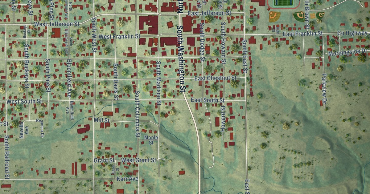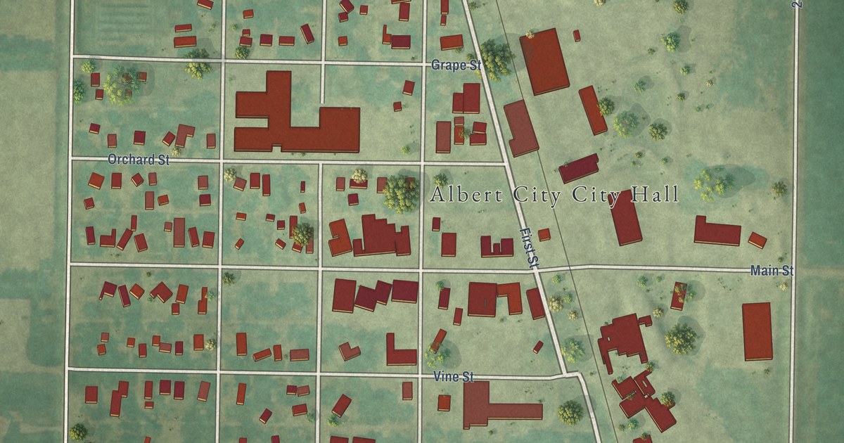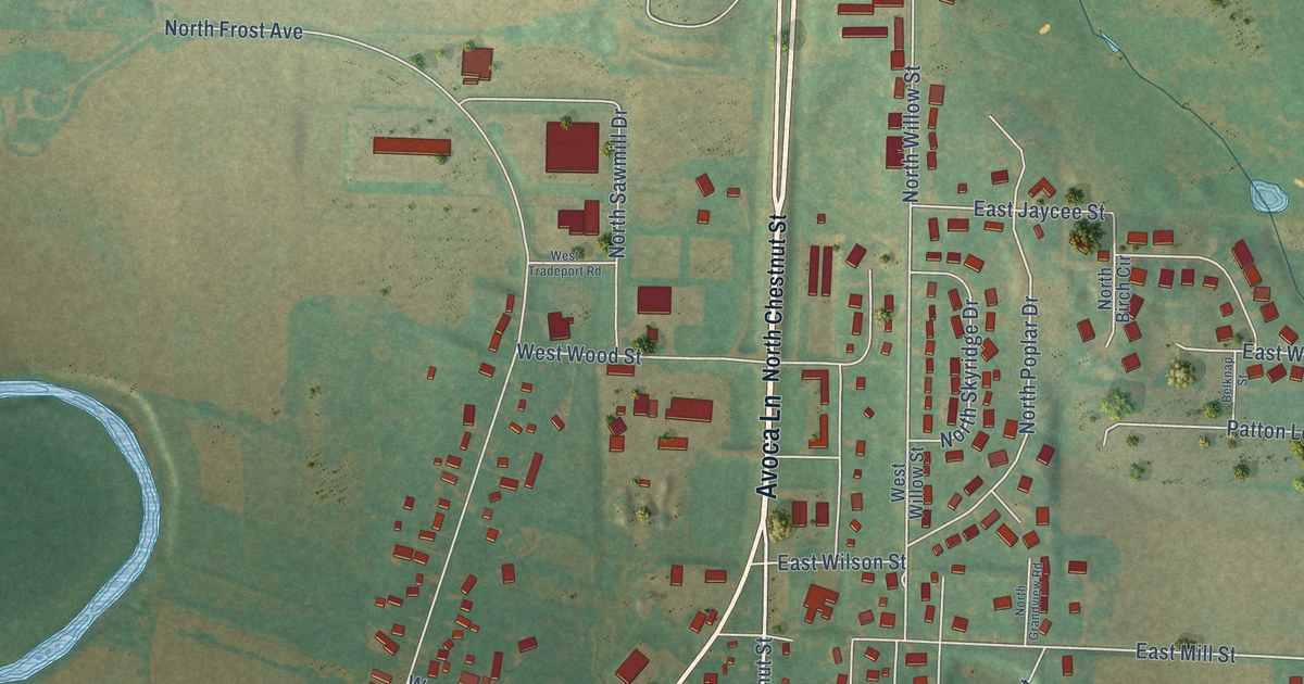
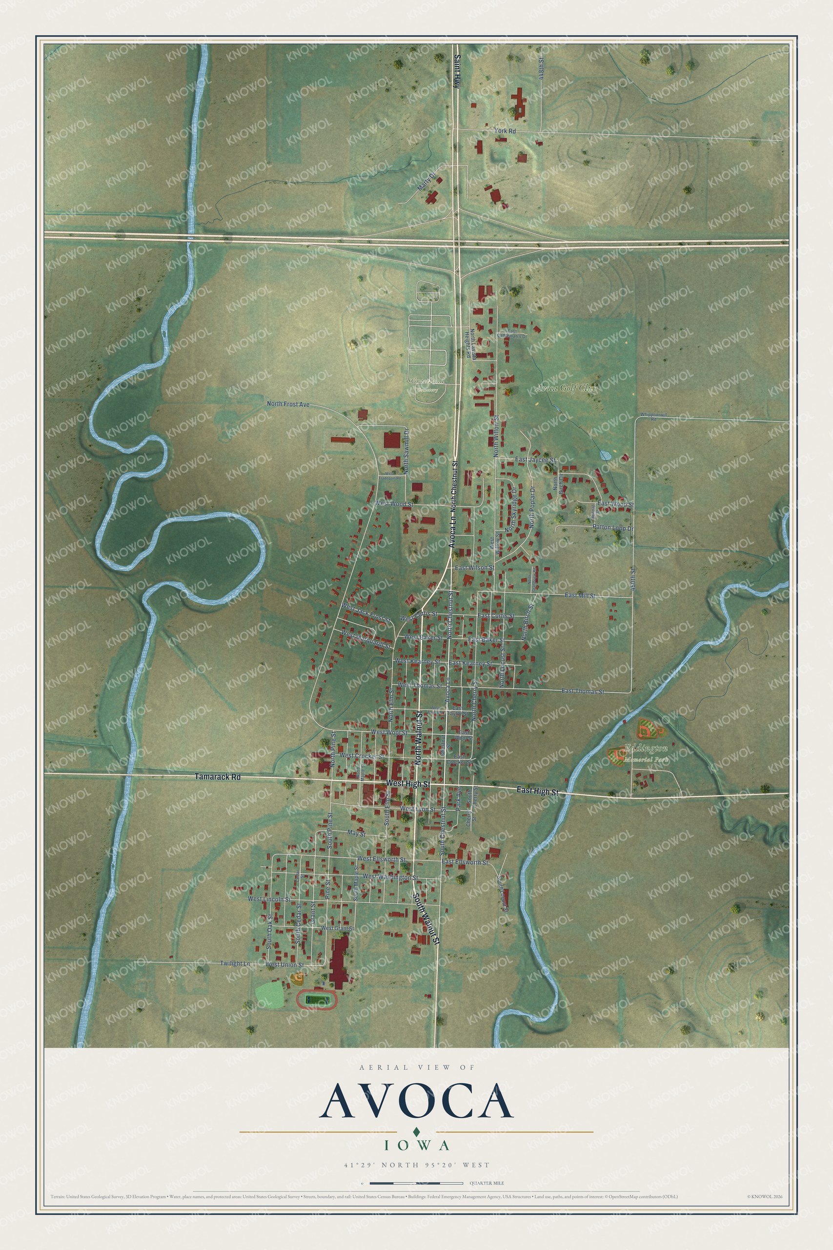
This beautifully detailed map of Avoca, Iowa was created in 2026 using aerial imagery combined with modern topographical, census, street and landmark data. It's a modern aerial view of Avoca in Pottawattamie County, Iowa, that combines modern data with a vintage aesthetic. The roads feature printed names, and if you look closely you can find your exact house accurately shown in its correct location.
Explore an aerial view of Avoca, Iowa
On this map you'll find Eddington Memorial Park, Graceland Cemetery, Avoca Golf Club, Avoca Lane, North Walnut Street, West High Street, South Walnut Street, Saint Highway, East High Street, Tamarack Road, North Chestnut Street, South Chestnut Street, and more. Each red shape is a building, so zoom in on the preview and look for yours.
Every town has a first chapter, and Avoca is no exception. The History of Pottawattamie County puts it this way: "The Chicago, Rock Island & Pacific Railroad reached the town in April, 1869. The name first given the town was Pacific, then Botna, and in June of the same year, the name was again changed to Avoca by some ladies who were there on a railroad excursion, and this name still remains."
Avoca is a city in Pottawattamie County. The Census Bureau counted 1,683 people here in 2020.
Take a closer look at the Avoca map
Names on this map
These names are printed on this map.
Places: Eddington Memorial Park, Graceland Cemetery and Avoca Golf Club.
Streets and roads: Avoca Lane, North Walnut Street, West High Street, South Walnut Street, Saint Highway, East High Street, Tamarack Road, North Chestnut Street, South Chestnut Street, South Pine Street, Pine Street, West Wool Street.
More street names, A to Z
448th Street, 450th Street, Belknap Street, Cedar Street, Cherry Street, Chestnut Street, East Baker Street, East Cattleman's Drive, East Crocker Street, East Curtis Street, East Ellsworth Street, East Jaycee Street, East Kearney Street, East Mill Street, East Taylor Street, East Thomas Street, East Wilson Street, East Wood Street, East Wool Street, Grant Street, Marty Drive, May Street, North Birch Circle, North Birch Street, North Cherry Street, North Elm Street, North Frost Avenue, North Grandview Road, North Lavista Heights Road, North Locust Street, North Maple Street, North Pine Street, North Poplar Drive, North Sawmill Drive, North Skyridge Drive, North Willow Street, Park Avenue, Patton Loop Drive, South Cedar Street, South Cherry Street, South Elm Street, South Locust Street, South Maple Street, South Oak Street, Twilight Lane, West Baker Street, West Crocker Street, West Curtis Street, West Ellsworth Street, West Grant Street, West Jack Frost Street, West Kearney Street, West Lincoln Street, West Lyon Street, West Marquardt Street, West Taylor Street, West Thomas Street, West Tradeport Road, West Union Street, West Washington Street, West Willow Street, West Wood Street, Whippoorwill Road, York Road.
Created by KNOWOL in 2026. The buildings are small red shapes, the roads carry their printed names, and shaded relief shows the shape of the land. The title panel reads "AERIAL VIEW OF AVOCA IOWA" with 41°29' NORTH 95°20' WEST.
Hang it in the hallway, the office or the cabin, or give it to someone who left Avoca and still calls it home. Open the preview and look for a street you know. See sizes and frames for the Avoca map.