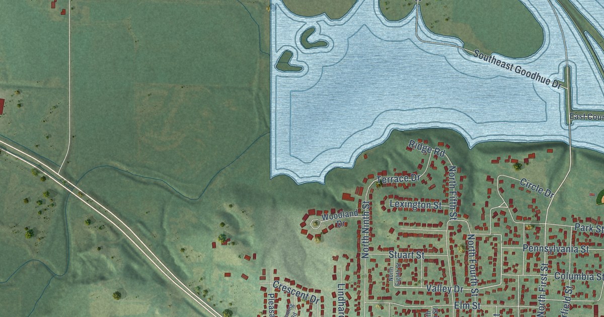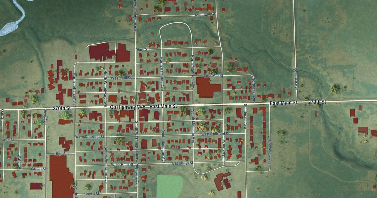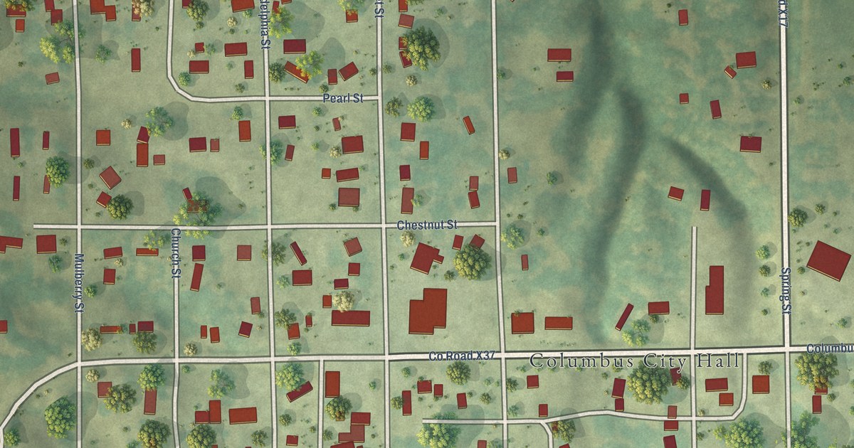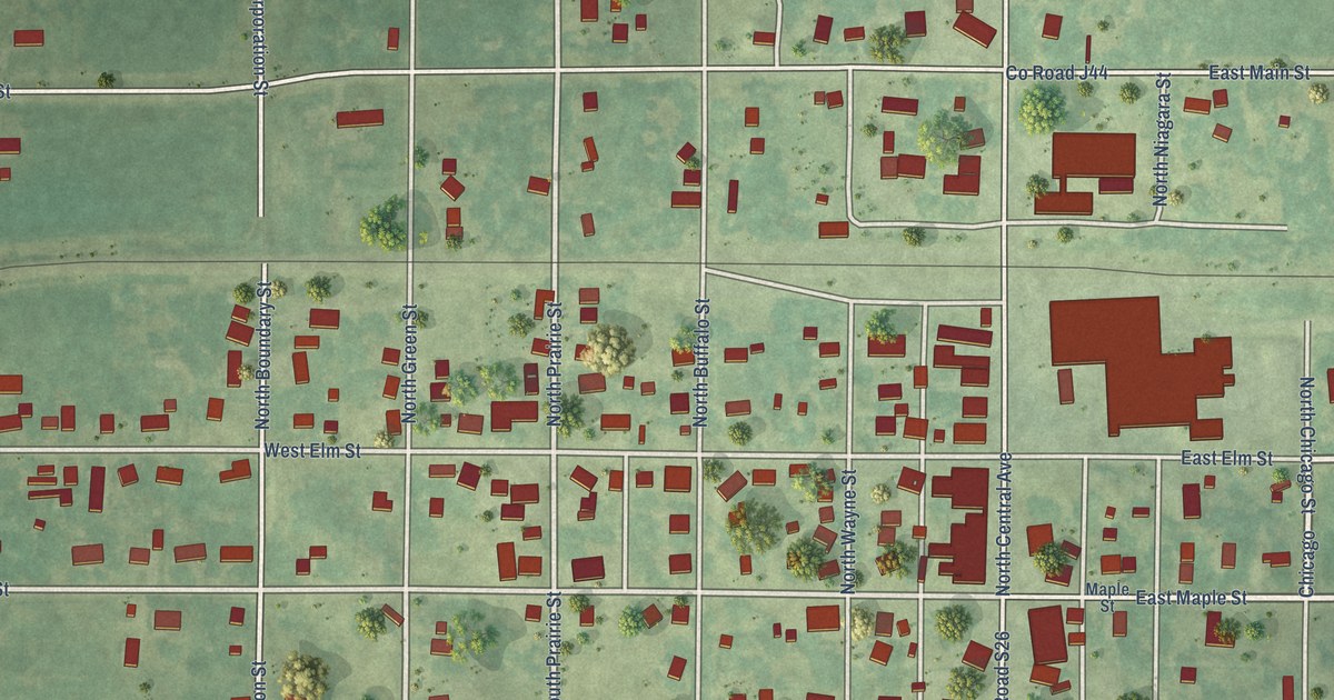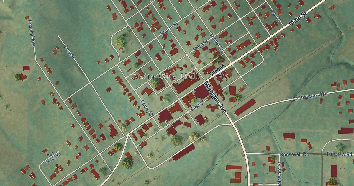
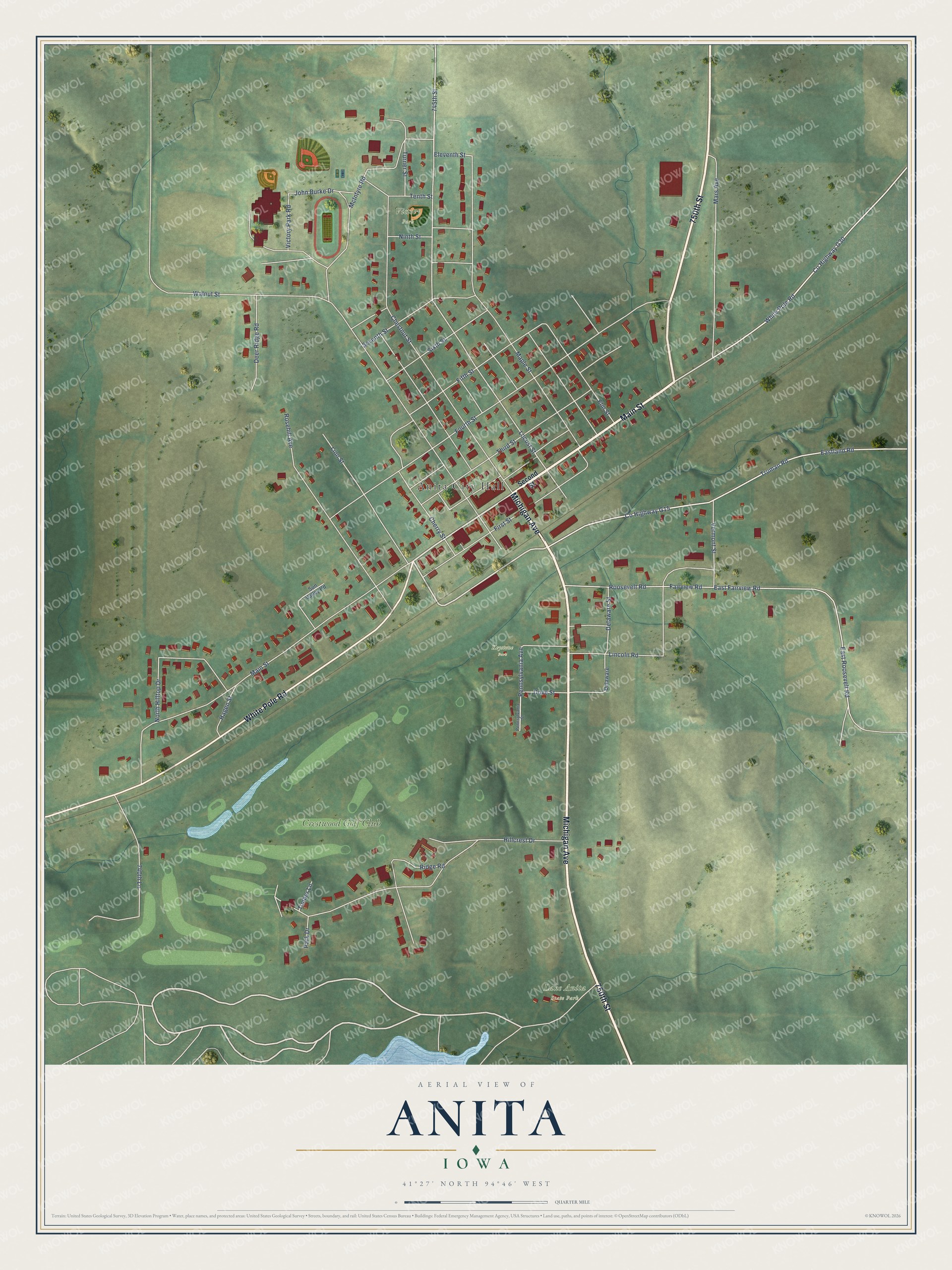
This beautifully detailed map of Anita, Iowa was created in 2026 using aerial imagery combined with modern topographical, census, street and landmark data. It's a modern aerial view of Anita in Cass County, Iowa, that combines modern data with a vintage aesthetic. The roads feature printed names, and if you look closely you can find your exact house accurately shown in its correct location.
Explore an aerial view of Anita, Iowa
On this map you'll find Anita City Hall, Lake Anita State Park, Keystone Park, Victory Park, Crestwood Golf Club, Michigan Avenue, 750th Street, Main Street, White Pole Road, Linn Street, Truman Road, Co Highway G30, and more. Each red shape is a building, so zoom in on the preview and look for yours.
Here is a piece of Anita history, in the words of the record. The History of Cass County puts it this way: "Mr. Beason served as a member of the board of supervisors of Cass county for four years, and was virtually the first postmaster at Anita, although a man by the name of Gardner was first appointed, but did not serve."
Anita is a city in Cass County. The Census Bureau counted 963 people here in 2020.
Take a closer look at the Anita map
Names on this map
These names are printed on this map.
Places: Anita City Hall, Lake Anita State Park, Keystone Park, Victory Park and Crestwood Golf Club.
Streets and roads: Michigan Avenue, 750th Street, Main Street, White Pole Road, Linn Street, Truman Road, County Highway G30, Eastland Road, 745th Street, Locust Street, Eleventh Street, East Fairview Road.
More street names, A to Z
740th Lane, Cherry Street, Chestnut Street, County Highway G15, Deer Ridge Road, Delaware, Delaware Street, Dove Street, East Roosevelt Road, Elm Street, Fairview Road, Fifth Street, First Street, Fourth Street, Hagen Street, Hillcrest Drive, John Burke Drive, Lincoln Road, Maple Street, Mars Avenue, McIntyre Road, Ninth Street, North Hilltop Drive, Park Drive, Pennsylvania Avenue, Pennsylvania Street, Ridge Road, Roosevelt Road, Rosehill Avenue, Second Street, Seventh Street, Sixth Street, Sun Valley Road, Tenth Street, Third Street, Timber Lane, Turner Street, Vermont Street, Victory Park Road, Walnut Street.
Created by KNOWOL in 2026. The buildings are small red shapes, the roads carry their printed names, and shaded relief shows the shape of the land. The title panel reads "AERIAL VIEW OF ANITA IOWA" with 41°27' NORTH 94°46' WEST.
It suits a den, a classroom or a front hall, and it makes a gift for anyone with Anita roots. Open the preview and find the block you know. See sizes and frames for the Anita map.