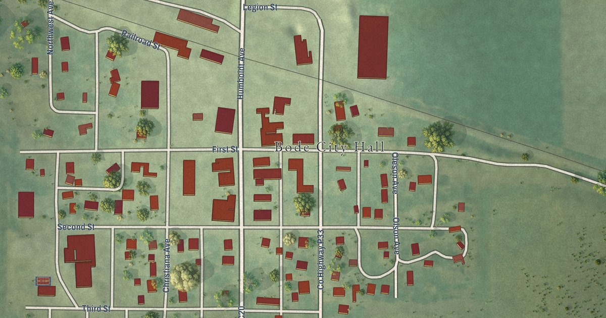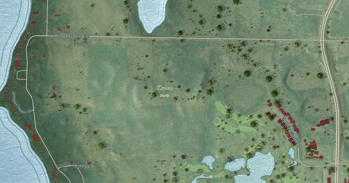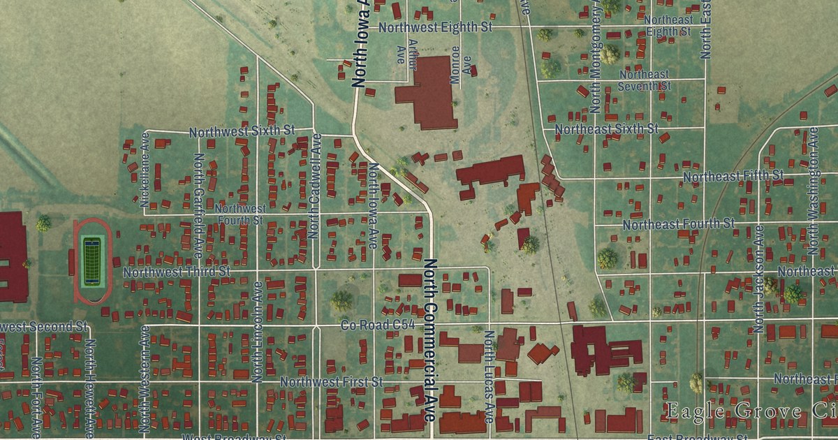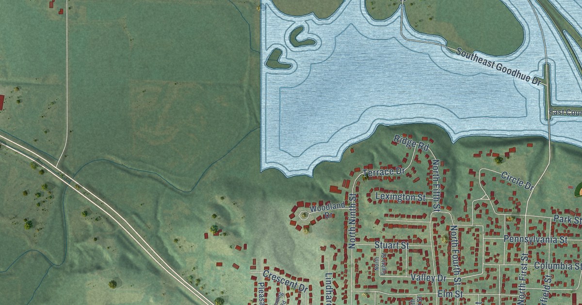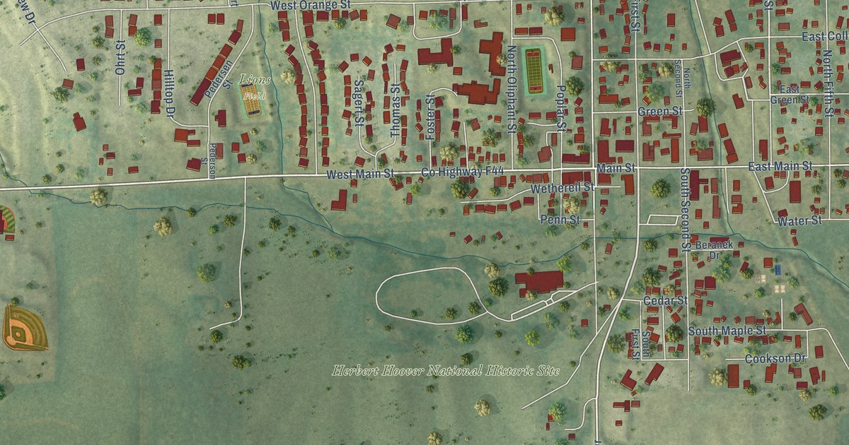
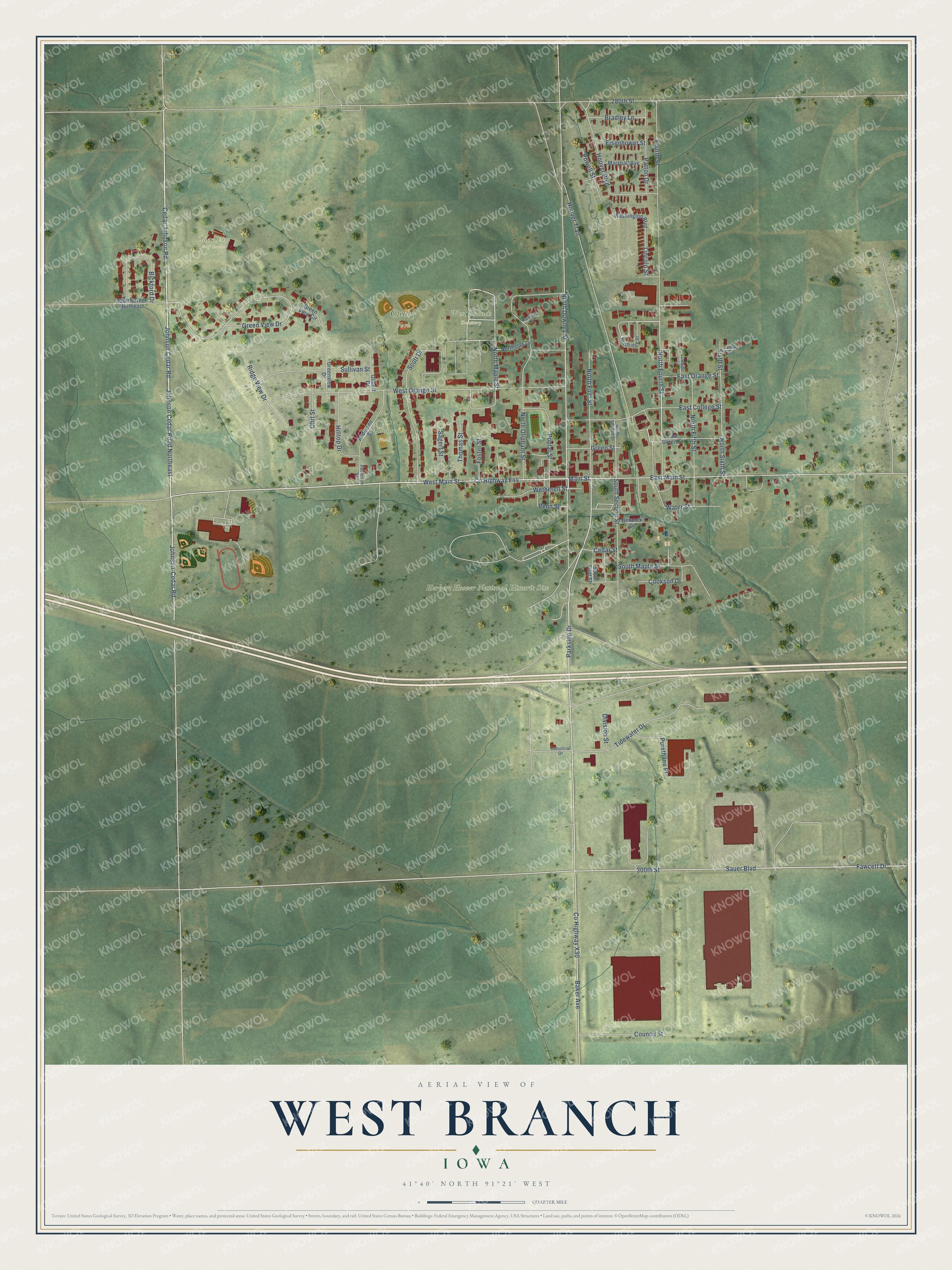
This beautifully detailed map of West Branch, Iowa was created in 2026 using aerial imagery combined with modern topographical, census, street and landmark data. It's a modern aerial view of West Branch in Cedar County, Iowa, that combines modern data with a vintage aesthetic. The roads feature printed names, and if you look closely you can find your exact house accurately shown in its correct location.
Explore an aerial view of West Branch, Iowa
On this map you'll find Cedars Edge Golf Course, Cubby Park, Herbert Hoover National Historic Site, West Branch Cemetery, Lions Field, West Main Street, Parkside Drive, Main Street, Johnson-Cedar Road, 300th Street, Baker Avenue, Johnson Cedar Road Northeast, and more. Each red shape is a building, so zoom in on the preview and look for yours.
West Branch is a city in Cedar County. The Census Bureau counted 2,509 people here in 2020. The map prints the town name in its title panel, with the coordinates below it.
Take a closer look at the West Branch map
Names on this map
These names are printed on this map.
Places: Cedars Edge Golf Course, Cubby Park, Herbert Hoover National Historic Site, West Branch Cemetery and Lions Field.
Streets and roads: West Main Street, Parkside Drive, Main Street, Johnson-Cedar Road, 300th Street, Baker Avenue, Johnson Cedar Road Northeast, Cedar Johnson Road, Johnson Cedar Road, North Fourth Street, East Main Street, North Downey Street.
More street names, A to Z
280th Street, 350th Street Northeast, Beranek Drive, Bickford Drive, Bradley Lane, Cedar Street, Cookson Drive, Council Street, County Highway F44, County Highway X30, Crestview Drive, Division Street, East College Street, East Green Street, East Orange Street, Eisenhower Street, Fawcett Drive, Foster Street, Fourth Street, Gilbert Drive, Green Street, Green View Circle, Green View Drive, Greenview Drive, Hilltop Drive, Hoover Boulevard, Hoover Trail, Industrial Drive, Lancaster Lane, Lemon Street, Lincoln Street, Marshall Avenue, North Fifth Street, North First Street, North Maple Street, North Oliphant Street, Northridge Drive, North Second Street, Northside Drive, North Sixth Street, Ohrt Street, Patton Drive, Pedersen Street, Pederson Street, Penn Street, Poplar Street, Powell Street, Purethane Place, Ridge View Drive, Sagert Street, Sauer Boulevard, Scott Drive, Sixth Street, South First Street, South Maple Street, South Second Street, Sullivan Street, Thomas Street, Tidewater Drive, Washington Boulevard, Water Street, West Orange Street, Wetherell Street.
Created by KNOWOL in 2026. The buildings are small red shapes, the roads carry their printed names, and shaded relief shows the shape of the land. The title panel reads "AERIAL VIEW OF WEST BRANCH IOWA" with 41°40' NORTH 91°21' WEST.
Hang it in the hallway, the office or the cabin, or give it to someone who left West Branch and still calls it home. Open the preview and look for a street you know. See sizes and frames for the West Branch map.