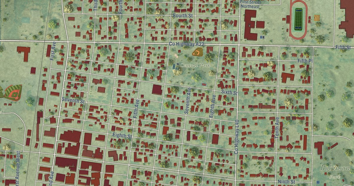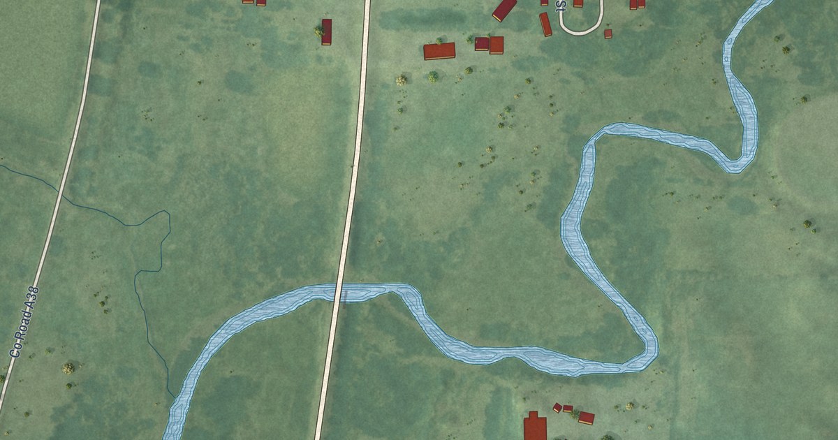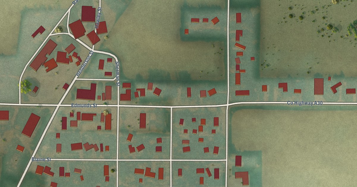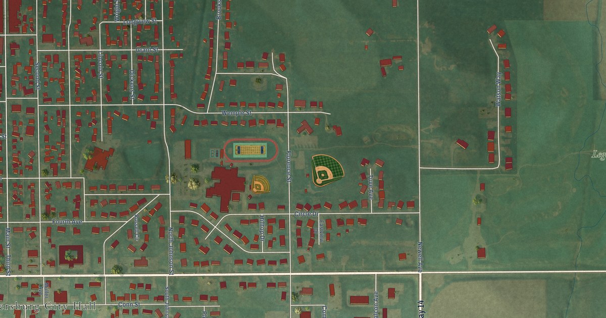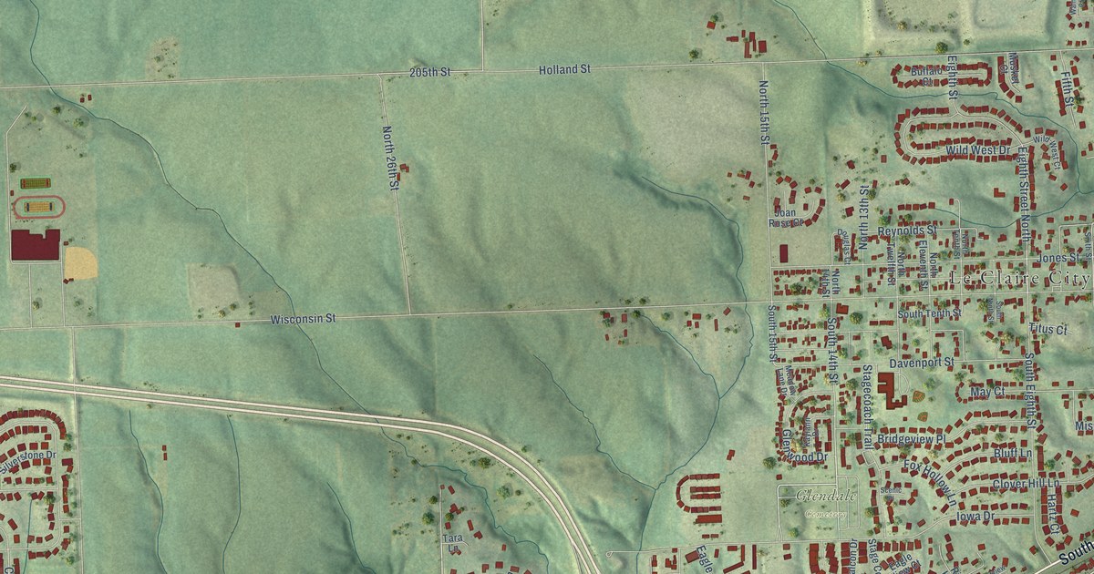
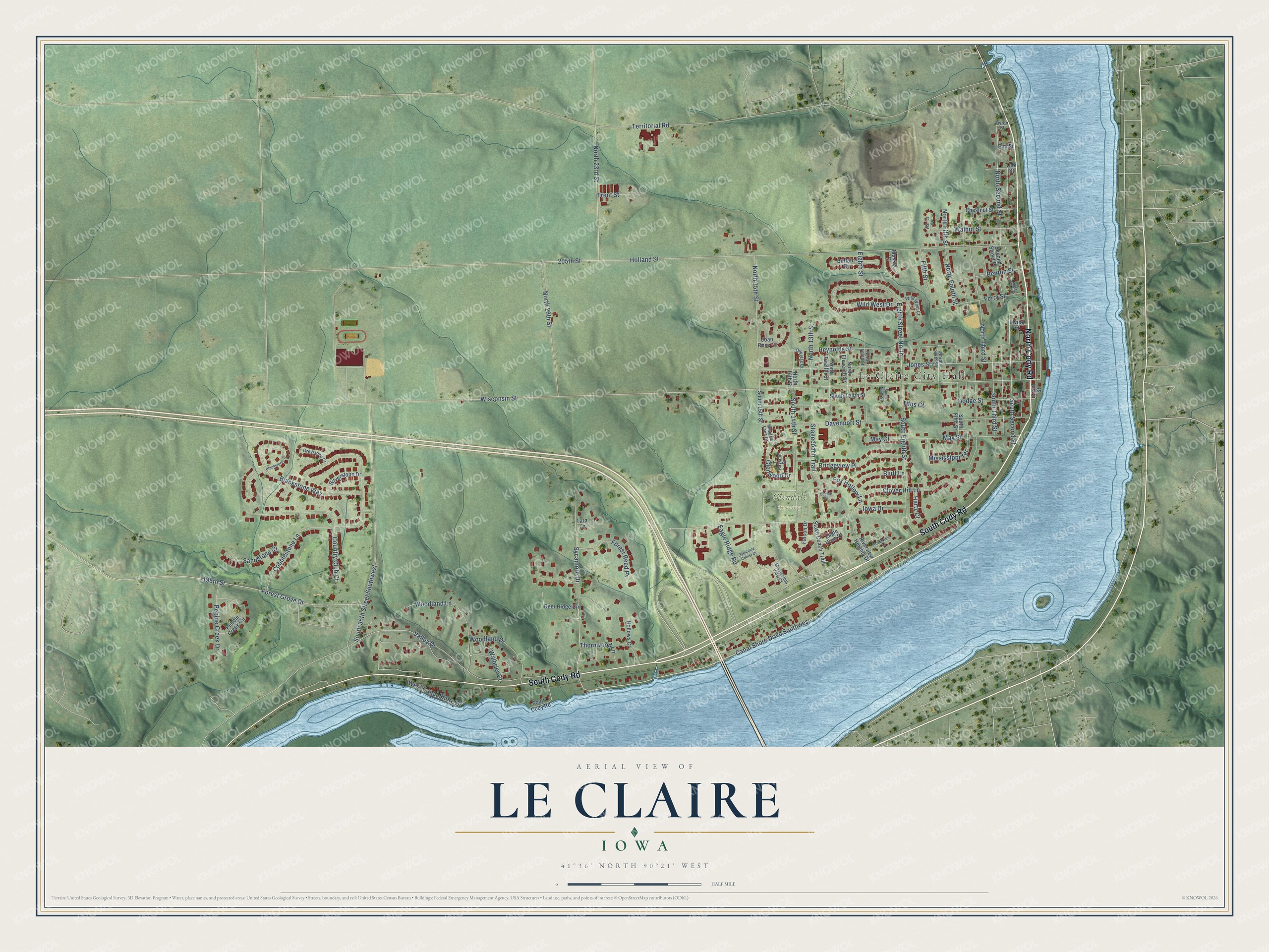
This beautifully detailed map of Le Claire, Iowa was created in 2026 using aerial imagery combined with modern topographical, census, street and landmark data. It's a modern aerial view of Le Claire in Scott County, Iowa, that combines modern data with a vintage aesthetic. The roads feature printed names, and if you look closely you can find your exact house accurately shown in its correct location.
Explore an aerial view of Le Claire, Iowa
On this map you'll find Le Claire City Hall, Glendale Cemetery, South Cody Road, North Cody Road, Sycamore Drive, Eighth Street North, Canal Shore Drive Southwest, North Second Street, North Third Street, Reynolds Street, North 23rd Street, South 14th Street, and more. Each red shape is a building, so zoom in on the preview and look for yours.
Le Claire has a story worth telling. The Internet Archive puts it this way: "The village of Parkhurst was laid out in 1837, and the village of
Le Claire (originally called Berlin) was laid out in the same year."
Le Claire is a city in Scott County. The Census Bureau counted 4,710 people here in 2020.
Take a closer look at the Le Claire map
Names on this map
These names are printed on this map.
Places: Le Claire City Hall and Glendale Cemetery.
Streets and roads: South Cody Road, North Cody Road, Sycamore Drive, Eighth Street North, Canal Shore Drive Southwest, North Second Street, North Third Street, Reynolds Street, North 23rd Street, South 14th Street, Wisconsin Street, Holland Street.
More street names, A to Z
195th Street, 205th Street, Benton Street, Blackstone Circle, Blackstone Way, Bluff Lane, Bridgeview Place, Buffalo Court, Byron Street, Chestnut Street, Clover Hill Lane, Cobblestone Lane, Country Club Court, Davenport Street, Deer Ridge Circle, Dodge Street, Douglas Court, Eagle Ridge Road, Eagle View Court, Eighth Street, Elm Street, Ewing Street, Falcon Drive, Ferry Street, Fifth Street, First Street Place, Forest Grove Drive, Forest Reed Place, Fox Hollow Lane, Front Street, Glenwood Drive, Greystone Court, Hartz Court, Hollows Court, Iowa Drive, Joan Rose Court, Jones Street, Kaylann Drive, May Court, May Street, Meadow Lane Drive, Mississippi Terrace, Mississippi View Court, Musket Court, North 13th Street, North 14th Street, North 15th Street, North 26th Street, North Eleventh Street, North Fifth Street, North Fourth Street, North Sixth Street, North Tenth Street, North Twelfth Street, Oak Street, Pebble Creek Circle, Pebble Creek Drive, Riverview Heights Drive, Riverview Lane, Sandstone Court, Scenic Place, Second Street Place, Silverstone Drive, South 15th Street, South 35th Street Southwest, South Eighth Street, South Fifth Street, South Ninth Street, South Second Street, South Tenth Street, South Third Street, Stagecoach Trail, Stage Coach Trail, Tara Lane, Territorial Road, Thornwood Lane, Titus Court, Trent Street, Valley Drive, Walbrier Court, Walnut Court, Walnut Street, Welcome Center Drive, West Canal Shore Drive, Wild West Court, Wild West Drive, Woodland Drive, Woodland Lane.
Created by KNOWOL in 2026. The buildings are small red shapes, the roads carry their printed names, and shaded relief shows the shape of the land. The title panel reads "AERIAL VIEW OF LE CLAIRE IOWA" with 41°36' NORTH 90°21' WEST.
It looks right in a kitchen, an office or a den, and it's a gift for anyone who grew up in Le Claire or moved away. Open the preview and find your street. See sizes and frames for the Le Claire map.