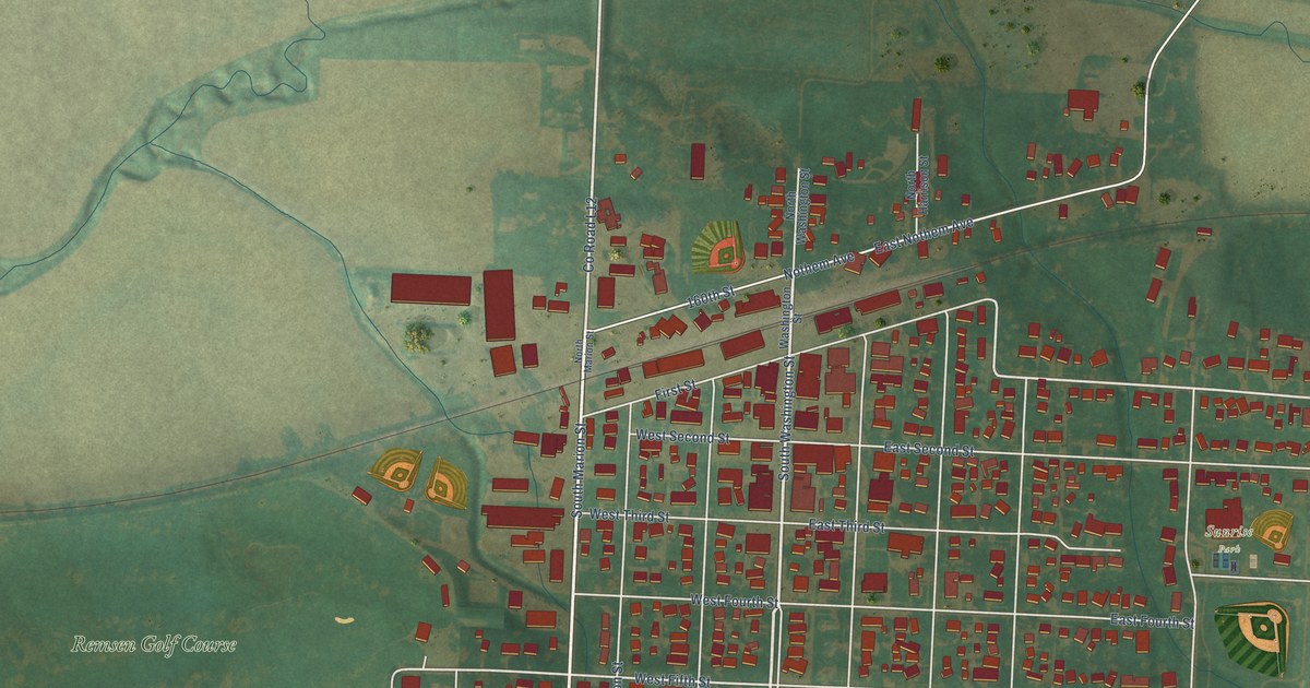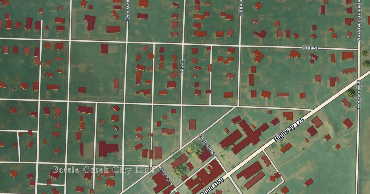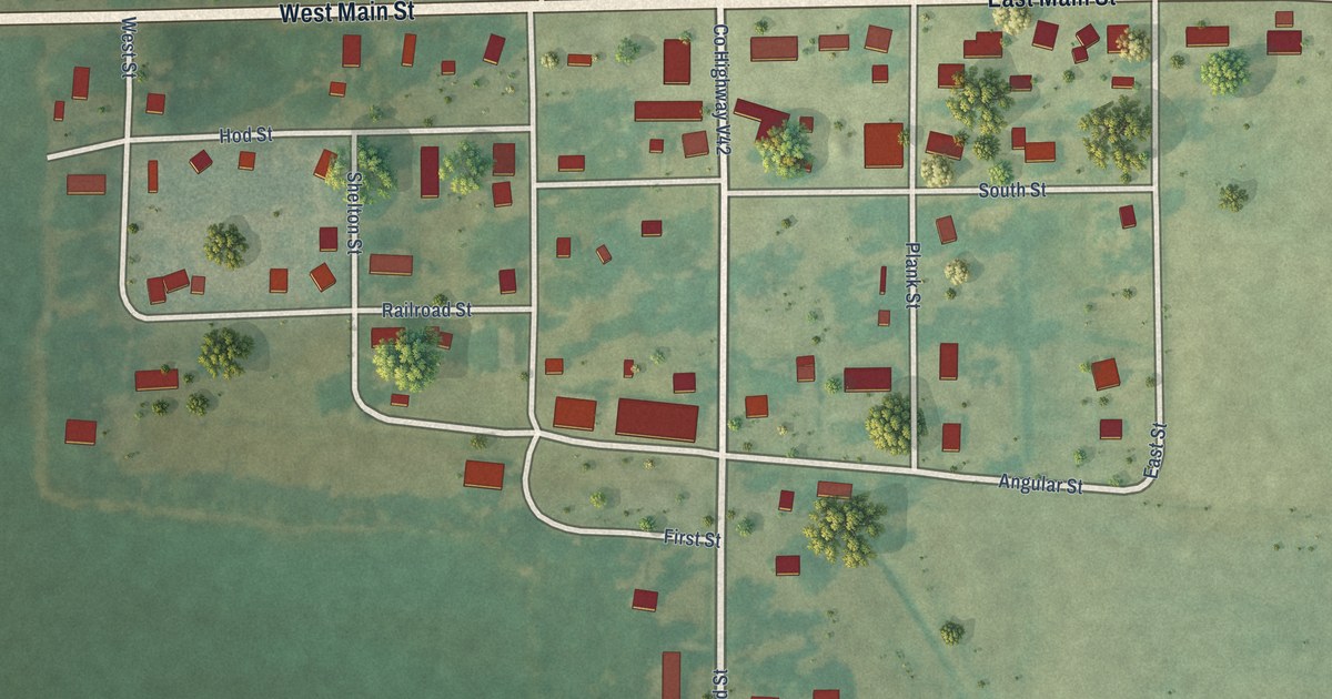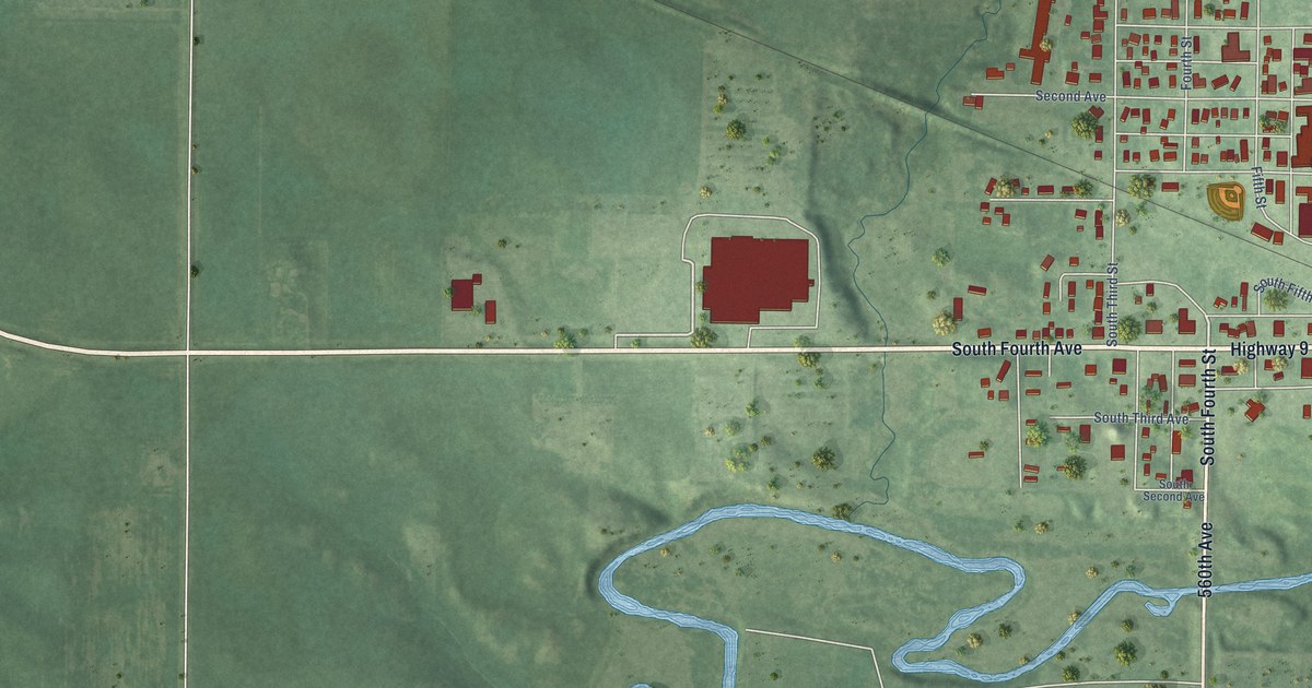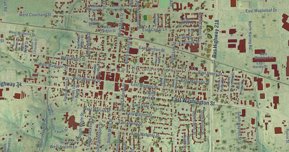
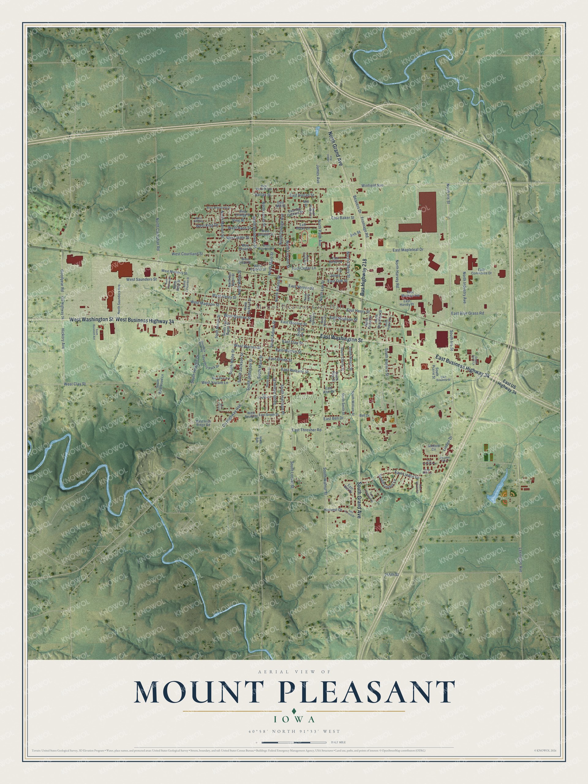
This beautifully detailed map of Mount Pleasant, Iowa was created in 2026 using aerial imagery combined with modern topographical, census, street and landmark data. It's a modern aerial view of Mount Pleasant in Henry County, Iowa, that combines modern data with a vintage aesthetic. The roads feature printed names, and if you look closely you can find your exact house accurately shown in its correct location.
Explore an aerial view of Mount Pleasant, Iowa
On this map you'll find Mount Pleasant City Hall, Forest Home Cemetery, McMillan Park, East Washington Street, East Business Highway 34, West Washington Street, South Grand Avenue, North Grand Avenue, West Business Highway 34, Bus Highway 218, East Monroe Street, North Iris Street, and more. Each red shape is a building, so zoom in on the preview and look for yours.
Mount Pleasant is a city in Henry County. The Census Bureau counted 9,274 people here in 2020. The map prints the town name in its title panel, with the coordinates below it.
Take a closer look at the Mount Pleasant map
Names on this map
These names are printed on this map.
Places: Mount Pleasant City Hall, Forest Home Cemetery and McMillan Park.
Streets and roads: East Washington Street, East Business Highway 34, West Washington Street, South Grand Avenue, North Grand Avenue, West Business Highway 34, Bus Highway 218, East Monroe Street, North Iris Street, Winfield Avenue, South Main Street, East Warren Street.
More street names, A to Z
255th Street, Ashford Circle, Ash Street, Beavers Drive, Bell Drive, County Highway H46, Deer Run Lane, East Alter Drive, East Ashford Avenue, East Baker Street, East Becky Lane, East Bell Drive, East Belt Drive, East Blue Grass Road, East Burky Lane, East Cedar Lane, East Clay Street, East Commerce Drive, East Green Street, East Harlan Street, East Harvest Drive, East Harvey Place, East Henry Street, East Langdon Street, East Linden Drive, East Mackay Avenue, East Madison Street, East Mapleleaf Drive, East Mill Street, East Oak Street, East Old Orchard Drive, East Red Oak Lane, East Savanna Street, East South Street, East Thresher Road, East US Highway 34, East Vernon Street, East Webster Street, Frontage Road, Goodyear Road, Harlan Street, Harvest Drive, Hickory Avenue, Iowa Avenue, James Avenue, Jewel Avenue, Jones, Lexington Avenue, Linden Drive, Linn Street, Mill Street, North Adams Street, North Brazelton Street, North Broadway Street, North Carnahan Road, North Carol Avenue, North Cherry Street, North College Avenue, North Elizabeth Street, North Hamlin Street, North Harvey Road, North Haynes Street, North Industry Avenue, North Jackson Street, North Jay Street, North Lafayette Street, North Lee Street, North Lincoln Street, North Lucas Street, North Main Street, North Marion Street, North Palm Avenue, North Porter Street, North Redbud Lane, North Rose Street, North Saunders Avenue, North Van Buren Street, North Walnut Street, North White Street, Old Highway 34, Saunders Park Drive, Saunders Park Road, South Adams Court, South Adams Place, South Adams Street, South Briarwood Lane, South Cherry Street, South Harrison Place, South Haynes Street, South Hoaglin Drive, South Iris Street, South Jackson Street, South Jay Street, South Jefferson Street, South Linden Lane, South Locust Street, South Marion Street, South Oakbrook Drive, South Pine Street, South Prairie Street, South Roosevelt Avenue, South Scott Lane, South Smith Street, South Spruce Avenue, South Van Buren Street, South Walnut Street, South White Street, South William Street, South Wilson Street, Vine Street, West Armstrong Court, West Broad Street, West Broadway Street, West Clay Street, West Corry Court, West Courtland Street, West Franklin Street, West Henry Street, West Hill Avenue, West Irish Ridge Road, West King Drive, West Madison Street, West Monroe Street, West Mulberry Street, West Orange Street, West Park Avenue, West Pearl Street, West Race Street, West Saunders Street, West Second Street, West South Street, West State Street, West Warren Street, West Winfield Avenue, West Yocum Lane.
Created by KNOWOL in 2026. The buildings are small red shapes, the roads carry their printed names, and shaded relief shows the shape of the land. The title panel reads "AERIAL VIEW OF MOUNT PLEASANT IOWA" with 40°58' NORTH 91°33' WEST.
It looks right in a kitchen, an office or a den, and it's a gift for anyone who grew up in Mount Pleasant or moved away. Open the preview and find your street. See sizes and frames for the Mount Pleasant map.