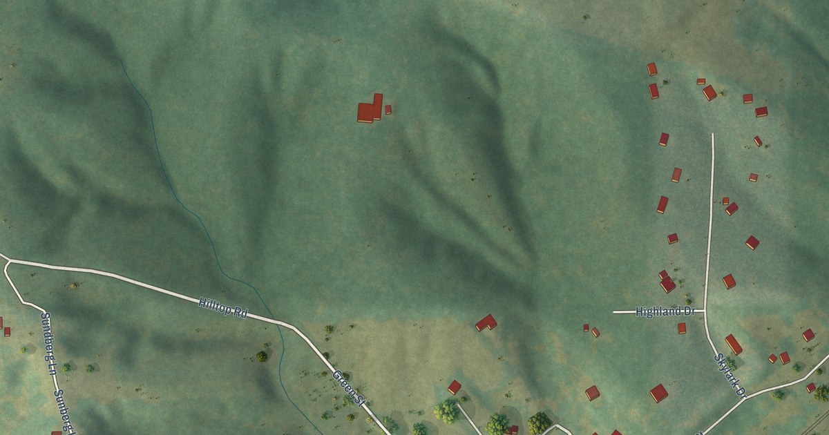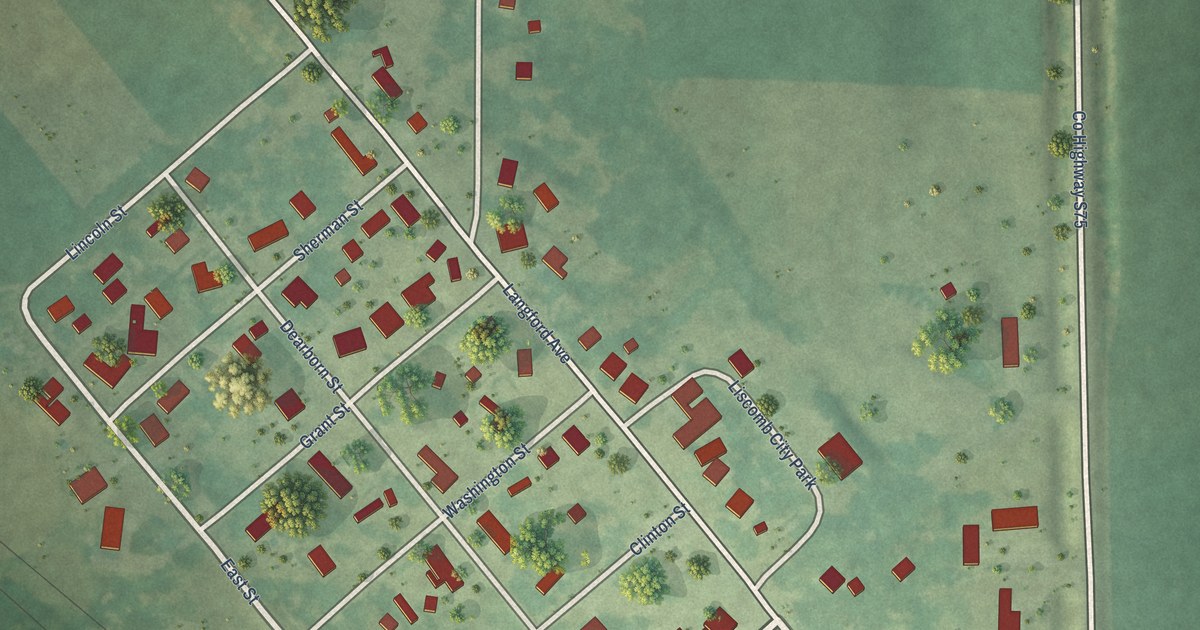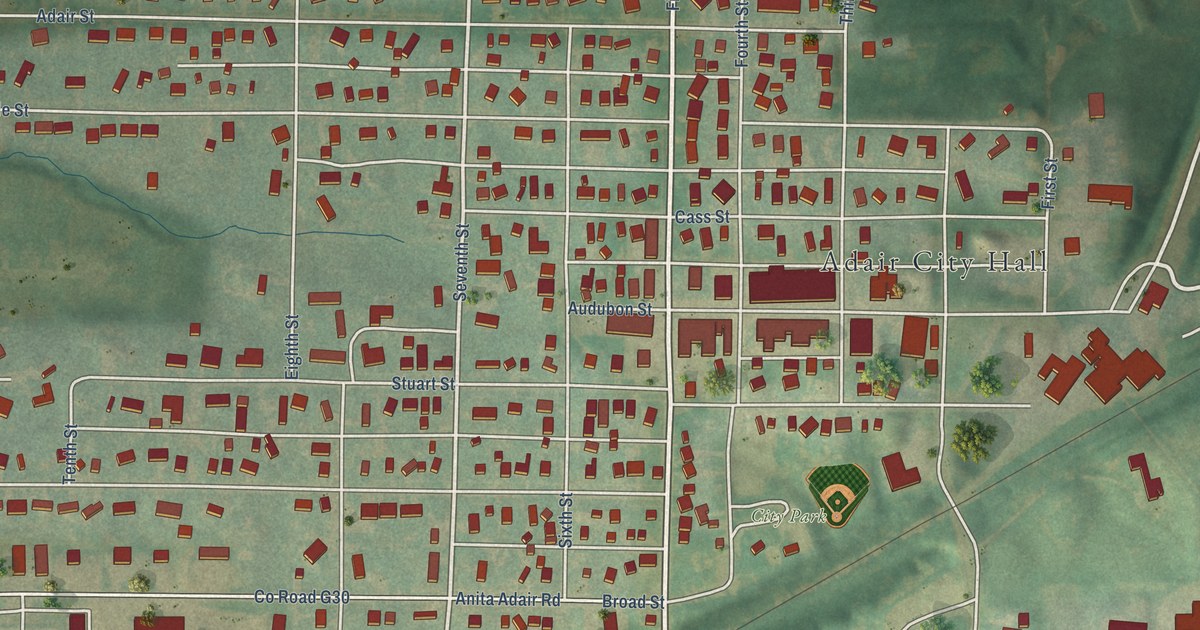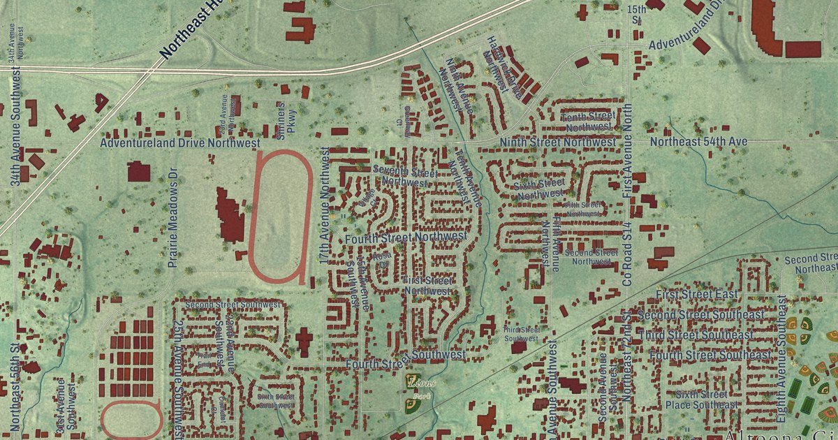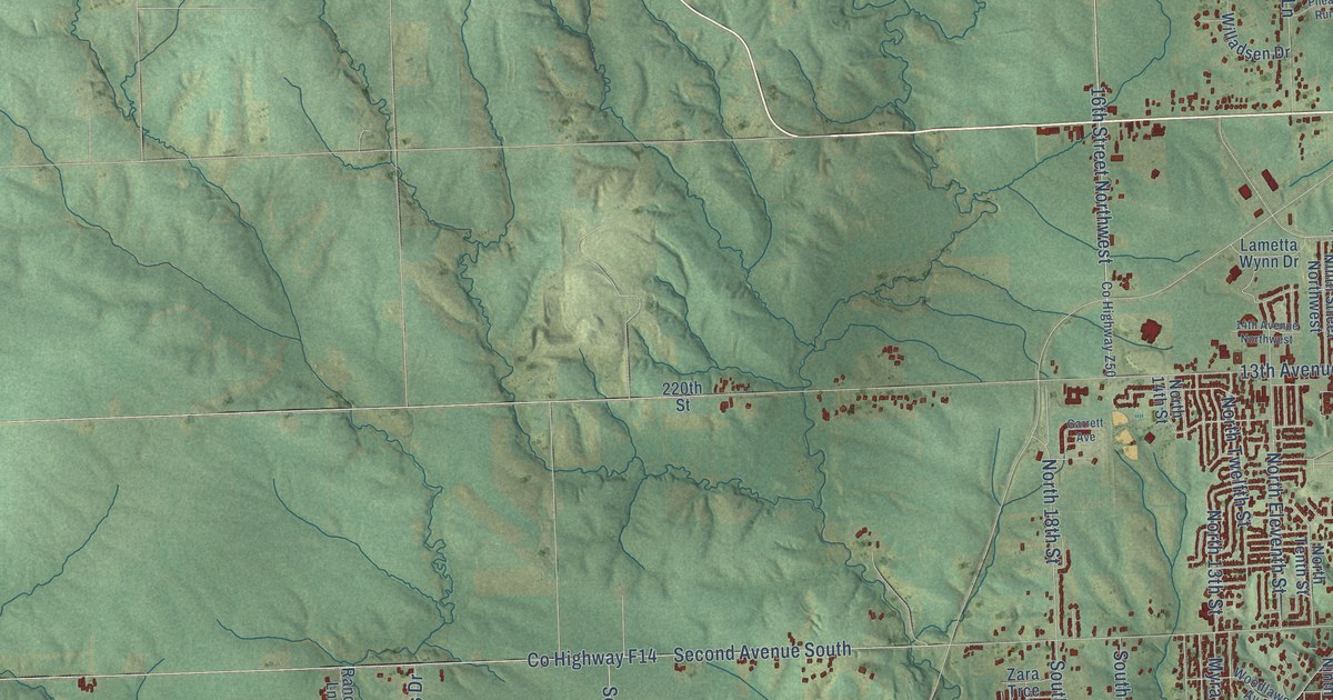
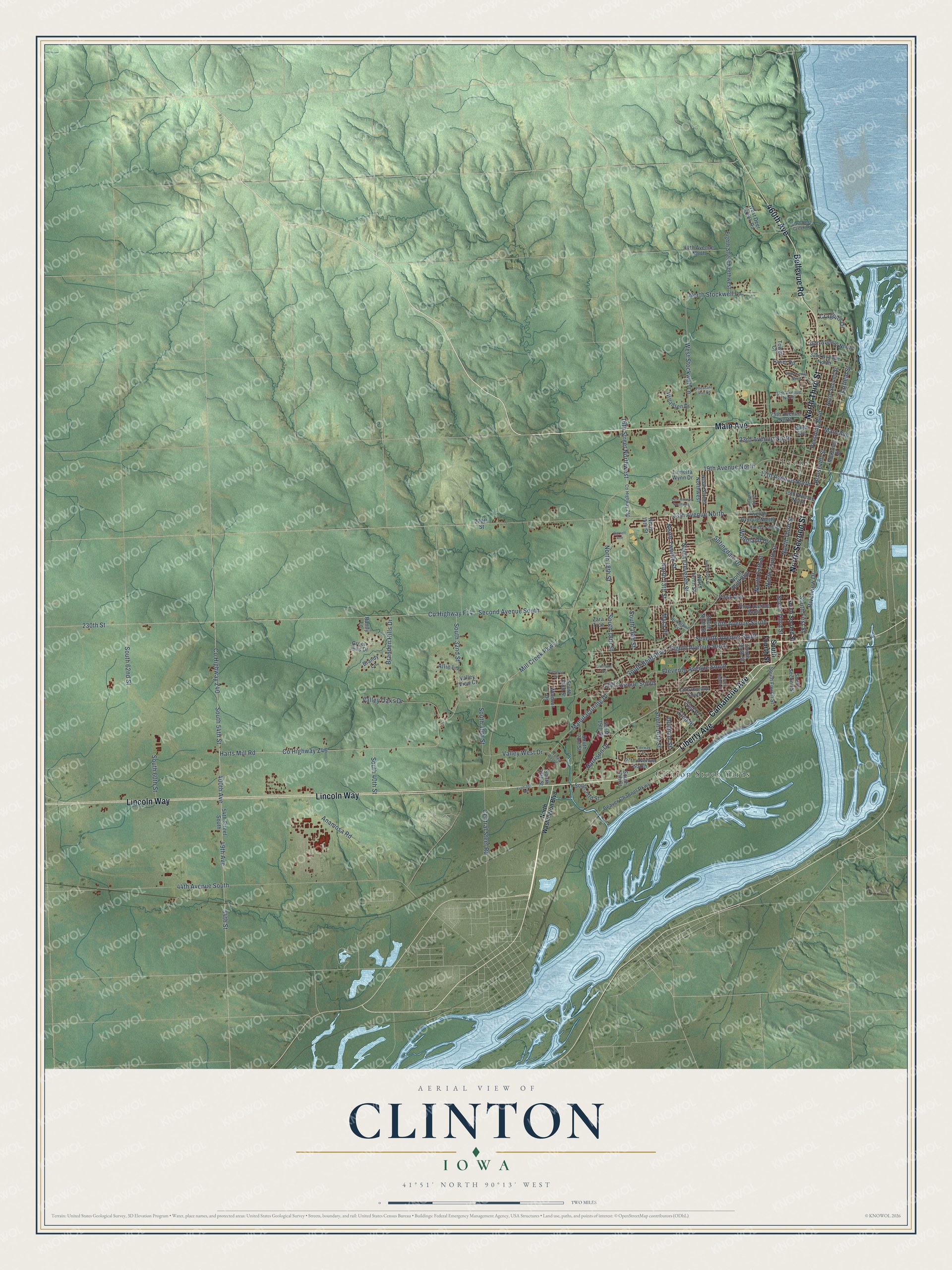
This beautifully detailed map of Clinton, Iowa was created in 2026 using aerial imagery combined with modern topographical, census, street and landmark data. It's a modern aerial view of Clinton in Clinton County, Iowa, that combines modern data with a vintage aesthetic. The roads feature printed names, and if you look closely you can find your exact house accurately shown in its correct location.
Explore an aerial view of Clinton, Iowa
On this map you'll find Clinton Stock Yards, Lyons, Main Avenue, North Second Street, Camanche Avenue, North Third Street, Liberty Avenue, Lincoln Way, 460th Avenue, Bellevue Road, South Third Street, Seventh Avenue South, and more. Each red shape is a building, so zoom in on the preview and look for yours.
Clinton has a story worth telling. The Chicago and North Western Railway puts it this way: "Clinton, Clinton County, Iowa, was named in 1855 from the county, which was named for DeWitt Clinton, governor of New York and projector of the Erie canal. The original location of Clinton was called New York by J. M. Bartlett, who laid it out."
Clinton is a city in Clinton County. The Census Bureau counted 24,469 people here in 2020.
Take a closer look at the Clinton map
Names on this map
These names are printed on this map.
Places: Clinton Stock Yards and Lyons.
Streets and roads: Main Avenue, North Second Street, Camanche Avenue, North Third Street, Liberty Avenue, Lincoln Way, 460th Avenue, Bellevue Road, South Third Street, Seventh Avenue South, Eighth Avenue South, 16th Street Northwest.
More street names, A to Z
13th Avenue North, 13th Avenue South, 14th Avenue Northwest, 15th Avenue North, 15th Avenue South, 17th Avenue North, 19th Avenue North, 21st Place, 22nd Place, 23rd Avenue North, 25th Avenue North, 27th Avenue South, 28th Avenue North, 30th Avenue North, 33rd Avenue North, 36th Avenue North, 44th Avenue North, 44th Avenue South, 49th Avenue, 54th Street, 54th Street South, 220th Street, 230th Street, 400th Avenue, Allie Lane, Anamosa Road, Beaver Channel Parkway, Branden Hills Drive, Brandy Lane, Breezy Point Drive, Buell Avenue, Cameron Drive, Central Steel Road, County Highway F14, County Highway Z40, County Highway Z46, County Highway Z50, Cragmor Drive, Dunham Street, East Deer Creek Road, Eighth Street Northwest, Eleventh Avenue South, Fairway Drive, Fifth Avenue South, First Avenue, Frontage Road, Garfield Street, Garrett Avenue, Glendale Road, Green Hills Drive, Harrison Drive, Harts Mill Road, Lametta Wynn Drive, Manufacturing Drive, McKinley Street, Mill Creek Parkway, Myra Place, Ninth Street Northwest, North 13th Street, North 14th Street, North 18th Street, North Bluff Boulevard, North Eleventh Street, North Fifth Street, North Fourth Street, North Ninth Street, North Stockwell Lane, North Tenth Street, North Twelfth Street, North Washington Boulevard, Pershing Boulevard, Pheasant Run Road, Randy Lane, Riverview Drive, Roosevelt Street, Second Avenue South, South 14th Street, South 16th Street, South 17th Street, South 18th Street, South 19th Street, South 21st Street, South 22nd Street, South 23rd Street, South 25th Street, South 30th Street, South 32nd Street, South 40th Street, South 54th Street, South 60th Street, South 62nd Street, South Bluff Boulevard, South Eighth Street, South First Street, South Fourth Street, South Ninth Street, South Second Street, South Sixth Street, Springdale Drive, Spring Valley Lane, Third Avenue South, Tower Court, Tower Road, Twelfth Avenue North, Valley Oaks Drive, Valley View Court, Valley West Court, Valley West Drive, West Deer Creek Road, West Stockwell Lane, Willadsen Drive, Windsor Drive, Woodland Drive, Woodlawn Avenue, Zara Trce.
Created by KNOWOL in 2026. The buildings are small red shapes, the roads carry their printed names, and shaded relief shows the shape of the land. The title panel reads "AERIAL VIEW OF CLINTON IOWA" with 41°51' NORTH 90°13' WEST.
It looks right in a kitchen, an office or a den, and it's a gift for anyone who grew up in Clinton or moved away. Open the preview and find your street. See sizes and frames for the Clinton map.