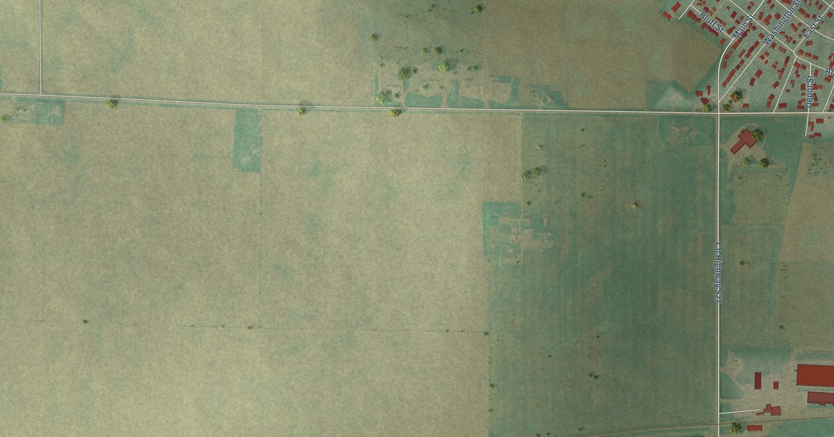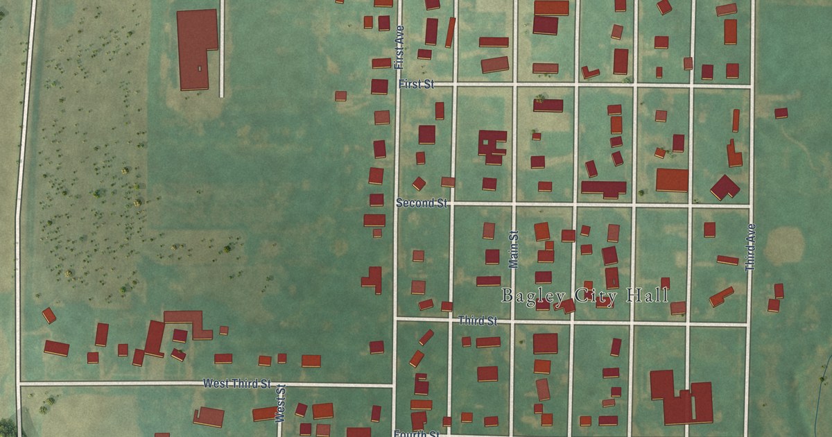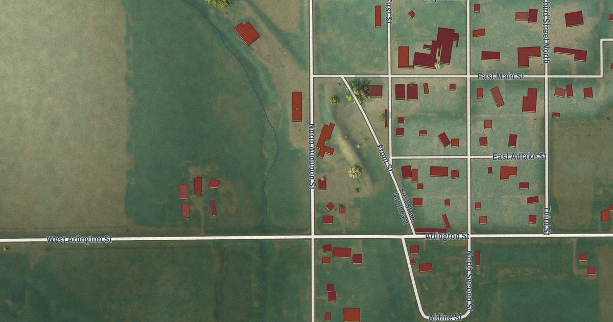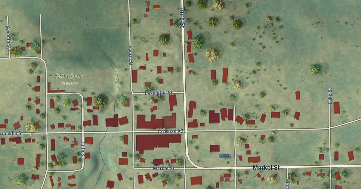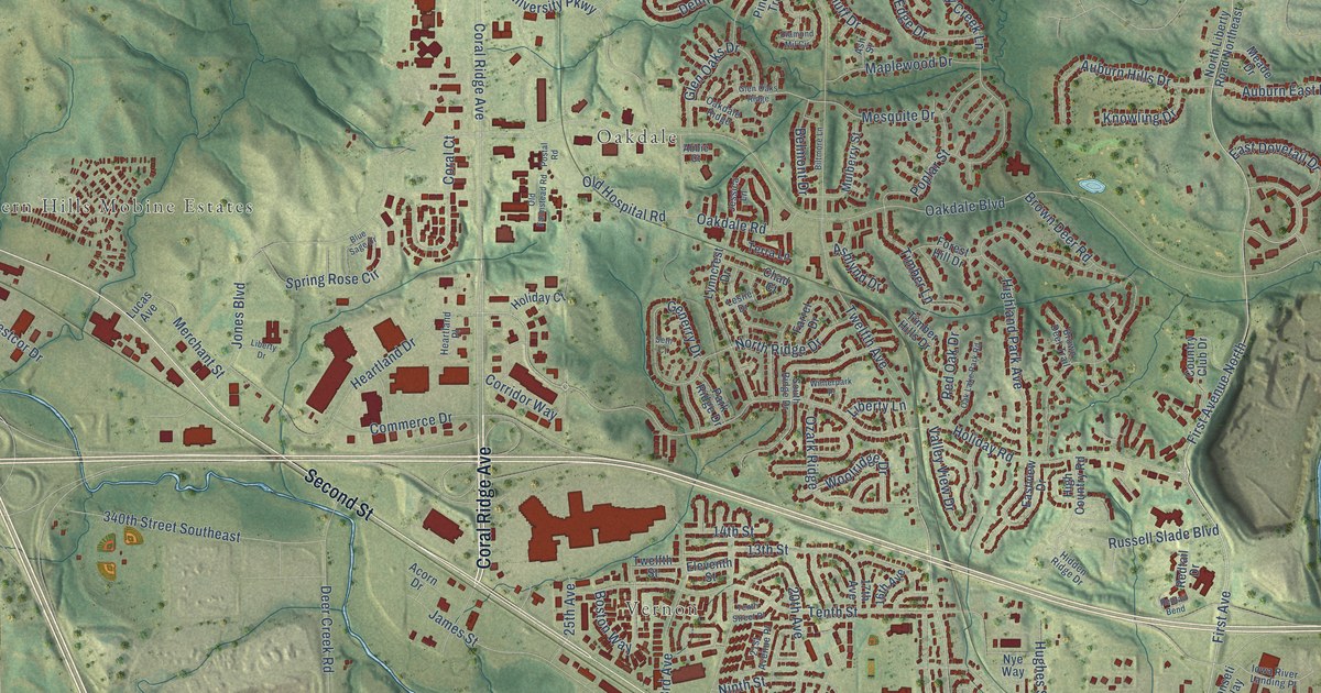
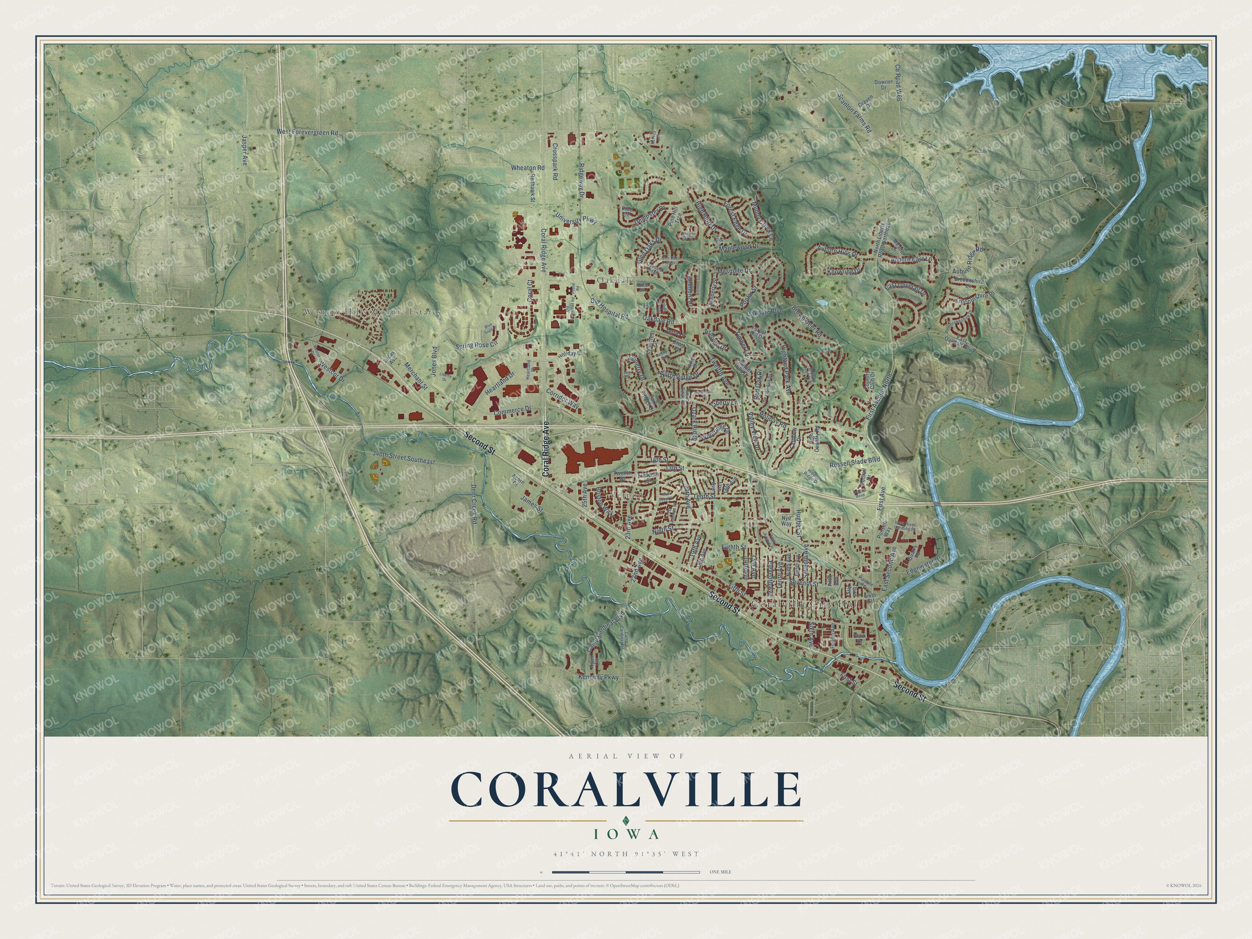
This beautifully detailed map of Coralville, Iowa was created in 2026 using aerial imagery combined with modern topographical, census, street and landmark data. It's a modern aerial view of Coralville in Johnson County, Iowa, that combines modern data with a vintage aesthetic. The roads feature printed names, and if you look closely you can find your exact house accurately shown in its correct location.
Explore an aerial view of Coralville, Iowa
On this map you'll find Coralville City Hall, Western Hills Mobine Estates, Vernon, Oakdale, Coral Ridge Avenue, Second Street, First Avenue, East Second Avenue, Ridgeway Drive, Twelfth Avenue, Holiday Road, West Forevergreen Road, and more. Each red shape is a building, so zoom in on the preview and look for yours.
Coralville is a city in Johnson County. The Census Bureau counted 22,318 people here in 2020. The map prints the town name in its title panel, with the coordinates below it.
Take a closer look at the Coralville map
Names on this map
These names are printed on this map.
Places: Coralville City Hall, Western Hills Mobine Estates, Vernon and Oakdale.
Streets and roads: Coral Ridge Avenue, Second Street, First Avenue, East Second Avenue, Ridgeway Drive, Twelfth Avenue, Holiday Road, West Forevergreen Road, University Parkway, Oakdale Boulevard, Crosspark Road, Camp Cardinal Boulevard.
More street names, A to Z
13th Avenue, 13th Street, 14th Avenue, 14th Street, 16th Avenue, 17th Avenue, 18th Avenue, 19th Avenue, 20th Avenue, 21st Avenue Place, 22nd Avenue, 23rd Avenue, 25th Avenue, 340th Street Southeast, Abbie Court, Acorn Drive, Ashlynd Drive, Ash Street, Auburn East Lane, Auburn Hills Drive, Auburn Ridge Road, Belmont Drive, Biltmore Lane, Blue Sage Drive, Boston Way, Breconshire Lane, Brown Deer Road, Brown Deer Trail, Camp Cardinal Road, Chad Court, Clark Drive, Commerce Drive, Coral Court, Corridor Way, Country Club Drive, County Road W66, Craven Drive, Deer Creek Road, Dempster Drive, Diamond Mil Circle, Downer Drive, East Dovetail Drive, East Oakdale Boulevard, Eastview Drive, Edgewater Drive, Eighth Avenue, Eighth Street, Eleventh Avenue, Eleventh Street, Farrel Drive, Fifth Avenue, Fifth Street, First Avenue North, First Street, Forest Edge Drive, Forest Hill Drive, Fourth Avenue, Generry Drive, Glen Oaks Drive, Glen Oaks Ridge, Heartland Drive, Heartland Place, Hidden Ridge Drive, High Bluff Drive, High Country Road, Highland Park Avenue, Holiday Court, Hughes Street, Iowa River Landing Place, James Street, Jasper Avenue, Jessica Lane, Jones Boulevard, Kelsey Lane, Kennedy Parkway, Knowling Drive, Leslie Drive, Liberty Drive, Liberty Lane, Lincolnshire Place, Lucas Avenue, Lynncrest Drive, Maplewood Drive, Meade Drive, Merchant Street, Mesquite Drive, Muddy Creek Lane, Mulberry Street, Ninth Avenue, Ninth Street, North Liberty Road Northeast, North Ridge Drive, Nye Way, Oakdale Ridge, Oakdale Road, Oak Lake Park Road, Old Farmstead Road, Old Hospital Road, Ozark Ridge, Park Ridge Drive, Pembrokeshire Drive, Pine Circle, Pine Hill Trce, Pipeline Road, Ponseti Way, Poplar Street, Postal Road, Quarry Road, Redhawk Street, Red Oak Drive, Redtail Bend, Redtail Drive, Russell Slade Boulevard, Ryan Circle, Scanlon Farms Road, Seth Court, Seventh Avenue, Seventh Street, Sixth Avenue, Sixth Street, South Ridge Drive, Spring Rose Circle, Tenth Avenue, Tenth Avenue Place, Tenth Street, Tenth Street Place, Terra Lane, Third Avenue, Timber Hills Drive, Timber Lane, Twelfth Street, Valley View Drive, Wescor Drive, Westcor Drive, Wheaton Road, Winterpark Place, Woolridge Drive.
Created by KNOWOL in 2026. The buildings are small red shapes, the roads carry their printed names, and shaded relief shows the shape of the land. The title panel reads "AERIAL VIEW OF CORALVILLE IOWA" with 41°41' NORTH 91°35' WEST.
It looks right in a kitchen, an office or a den, and it's a gift for anyone who grew up in Coralville or moved away. Open the preview and find your street. See sizes and frames for the Coralville map.