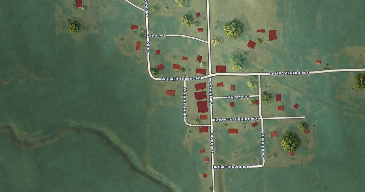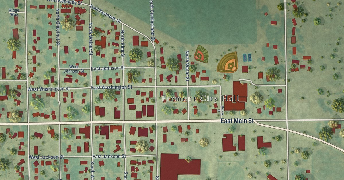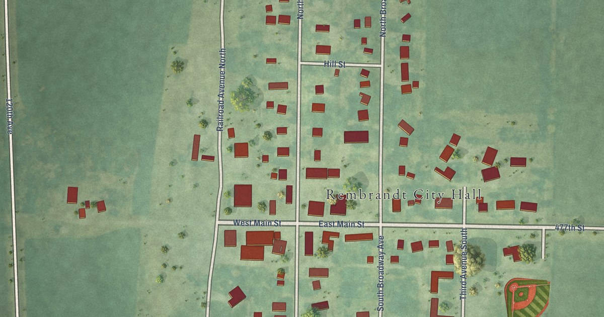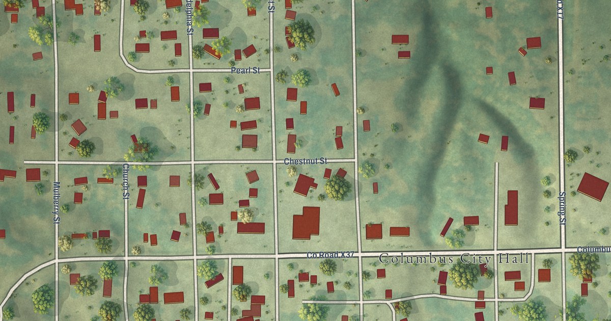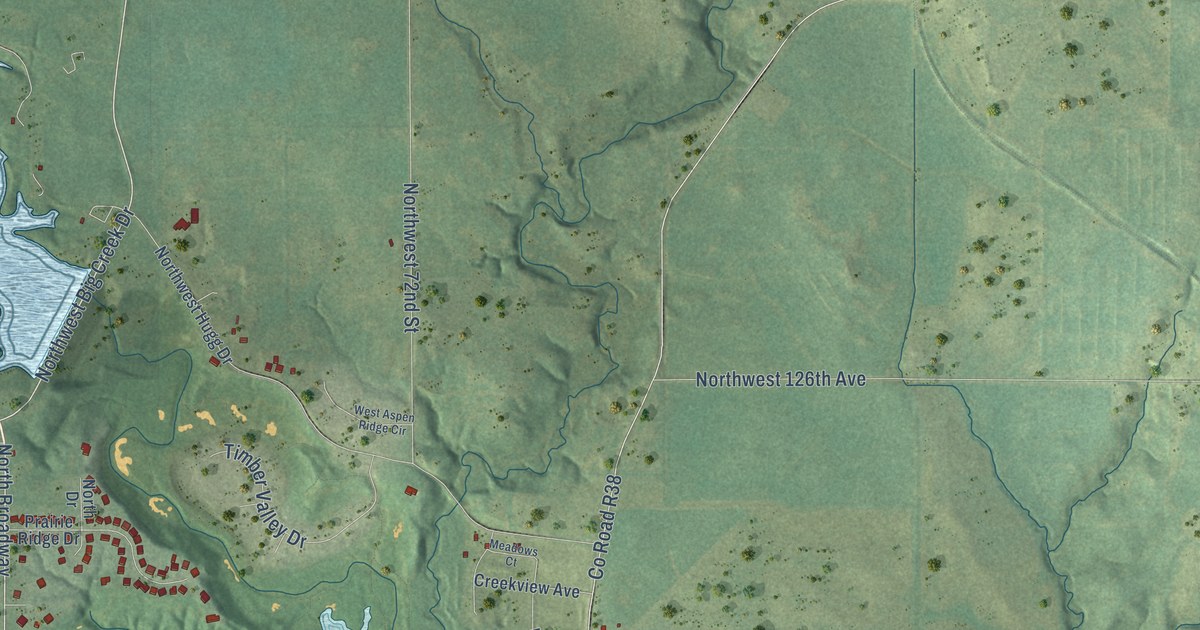
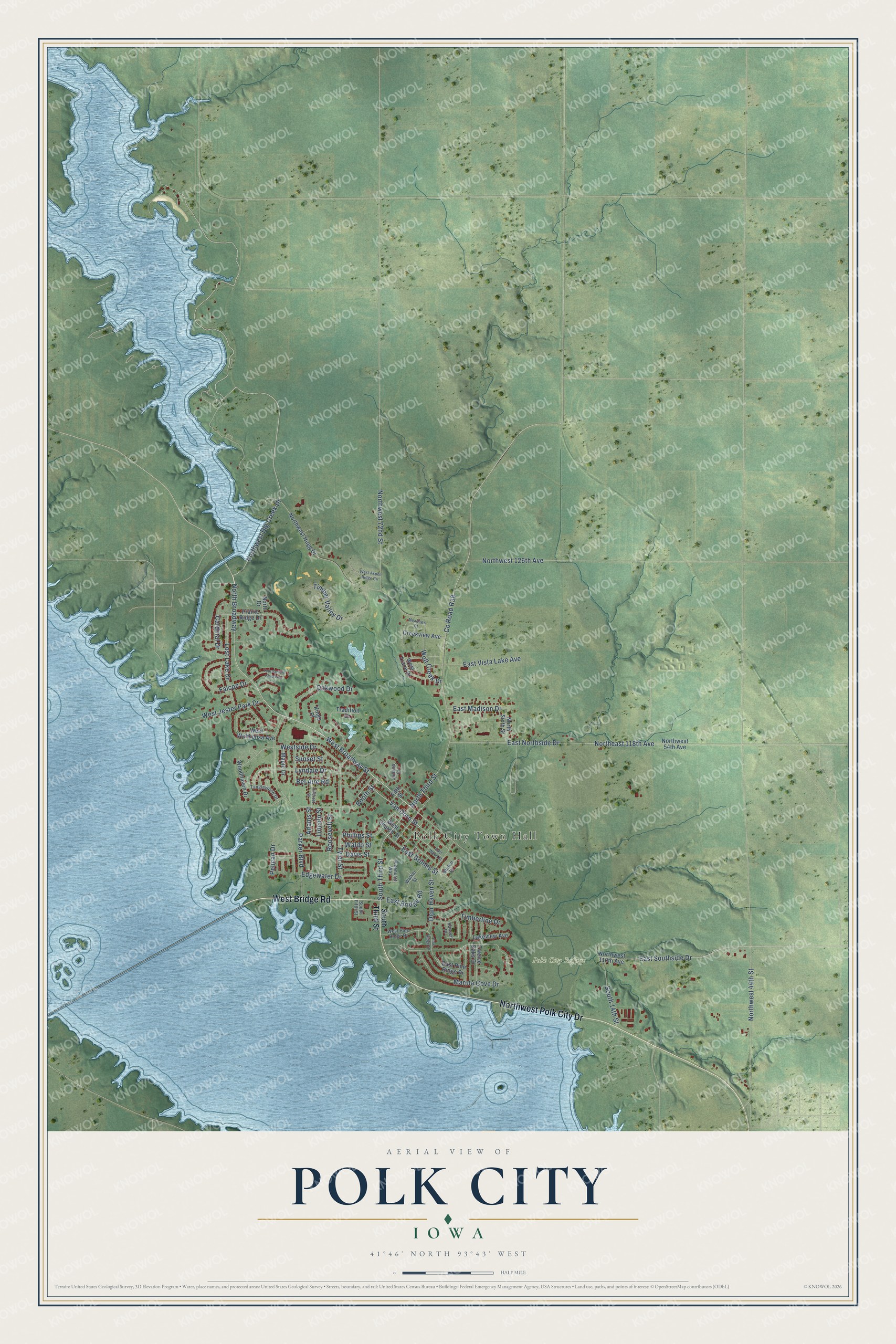
This beautifully detailed map of Polk City, Iowa was created in 2026 using aerial imagery combined with modern topographical, census, street and landmark data. It's a modern aerial view of Polk City in Polk County, Iowa, that combines modern data with a vintage aesthetic. The roads feature printed names, and if you look closely you can find your exact house accurately shown in its correct location.
Explore an aerial view of Polk City, Iowa
On this map you'll find Polk City Town Hall, Polk City Refuge, West Bridge Road, Northwest Polk City Drive, Northwest Big Creek Drive, North Broadway, West Broadway Street, South Third Street, North Third Street, Van Dorn Street, Co Road R38, Falcon Drive, and more. Each red shape is a building, so zoom in on the preview and look for yours.
Polk City is a city in Polk County. The Census Bureau counted 5,543 people here in 2020. The map prints the town name in its title panel, with the coordinates below it.
Take a closer look at the Polk City map
Names on this map
These names are printed on this map.
Places: Polk City Town Hall and Polk City Refuge.
Streets and roads: West Bridge Road, Northwest Polk City Drive, Northwest Big Creek Drive, North Broadway, West Broadway Street, South Third Street, North Third Street, Van Dorn Street, County Road R38, Falcon Drive, Bel Aire Road, East Southside Drive.
More street names, A to Z
Adams Street, Booth Street, Burton Drive, Cardinal Drive, Creekview Avenue, Davis Street, Deer Haven Street, East Bridge Road, East Grimes Street, East Madison Drive, East Northside Drive, East Pine Ridge Drive, East Vista Lake Avenue, East Wood Street, Edgewater Drive, Fifth Street, Hansen Place, Hillcrest Drive, Juliana Court, Kings Place, Lakeview Avenue, Lincoln Street, Lost Lake Drive, Lyndale Drive, Maple Drive, Marina Cove Drive, Meadows Court, North Drive, Northeast 118th Avenue, North Sixth Street, Northwest 44th Street, Northwest 54th Avenue, Northwest 72nd Street, Northwest 110th Avenue, Northwest 126th Avenue, Northwest Hugg Drive, Oakwood Drive, Parker Boulevard, Pelican Drive, Phillips Street, Pinehurst Way, Pine Ridge Drive, Prairie Ridge Drive, Roosevelt Street, South 14th Street, South Fifth Street, Sunset Street, Tanglewood Drive, Timberline Drive, Timber Valley Drive, Tournament Club Way, Tradition Drive, Twelve Oaks Drive, Tyler Street, Waldo Street, Walker Street, West Aspen Ridge Circle, West Church Street, West Jester Park Drive, West Pine Ridge Drive, Westside Drive, West Trace Drive, West Wahkonsa Avenue, Wolf Creek Drive, Woodhaven Drive.
Created by KNOWOL in 2026. The buildings are small red shapes, the roads carry their printed names, and shaded relief shows the shape of the land. The title panel reads "AERIAL VIEW OF POLK CITY IOWA" with 41°46' NORTH 93°43' WEST.
Hang it in the hallway, the office or the cabin, or give it to someone who left Polk City and still calls it home. Open the preview and look for a street you know. See sizes and frames for the Polk City map.