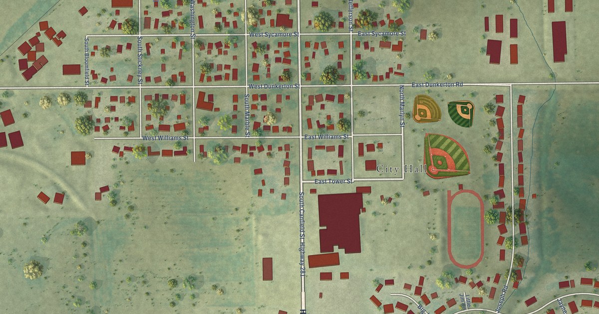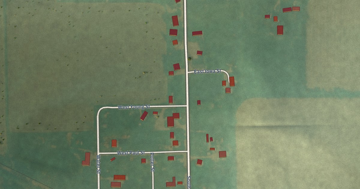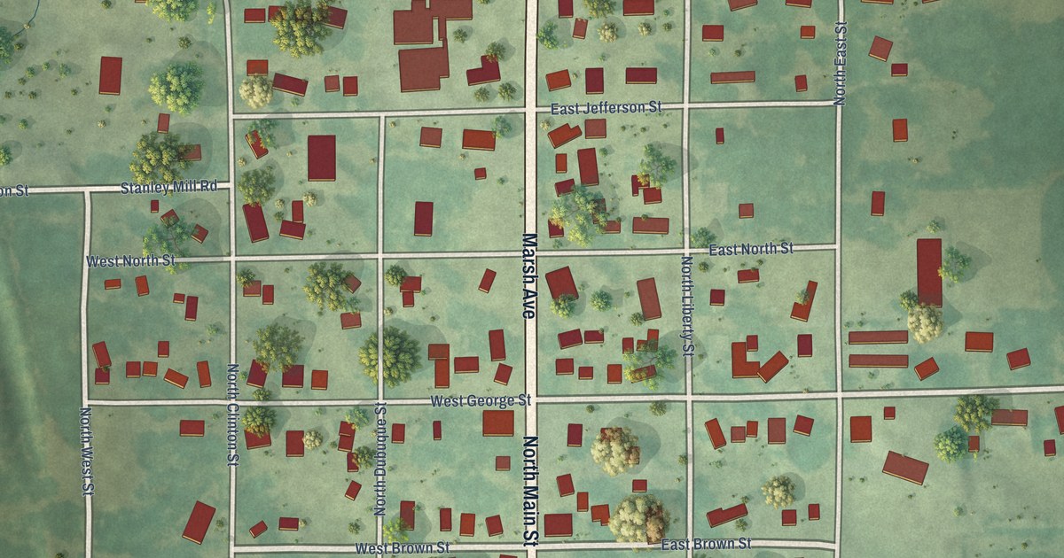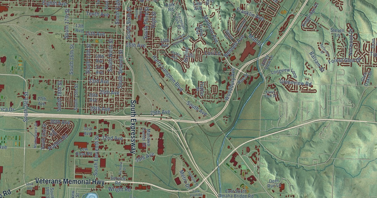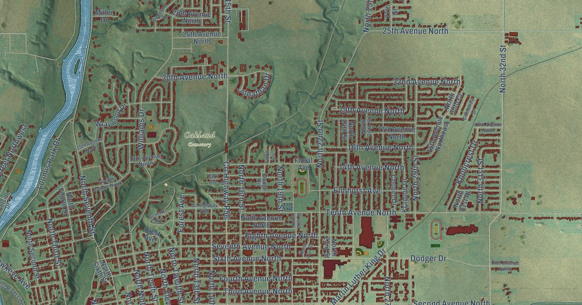
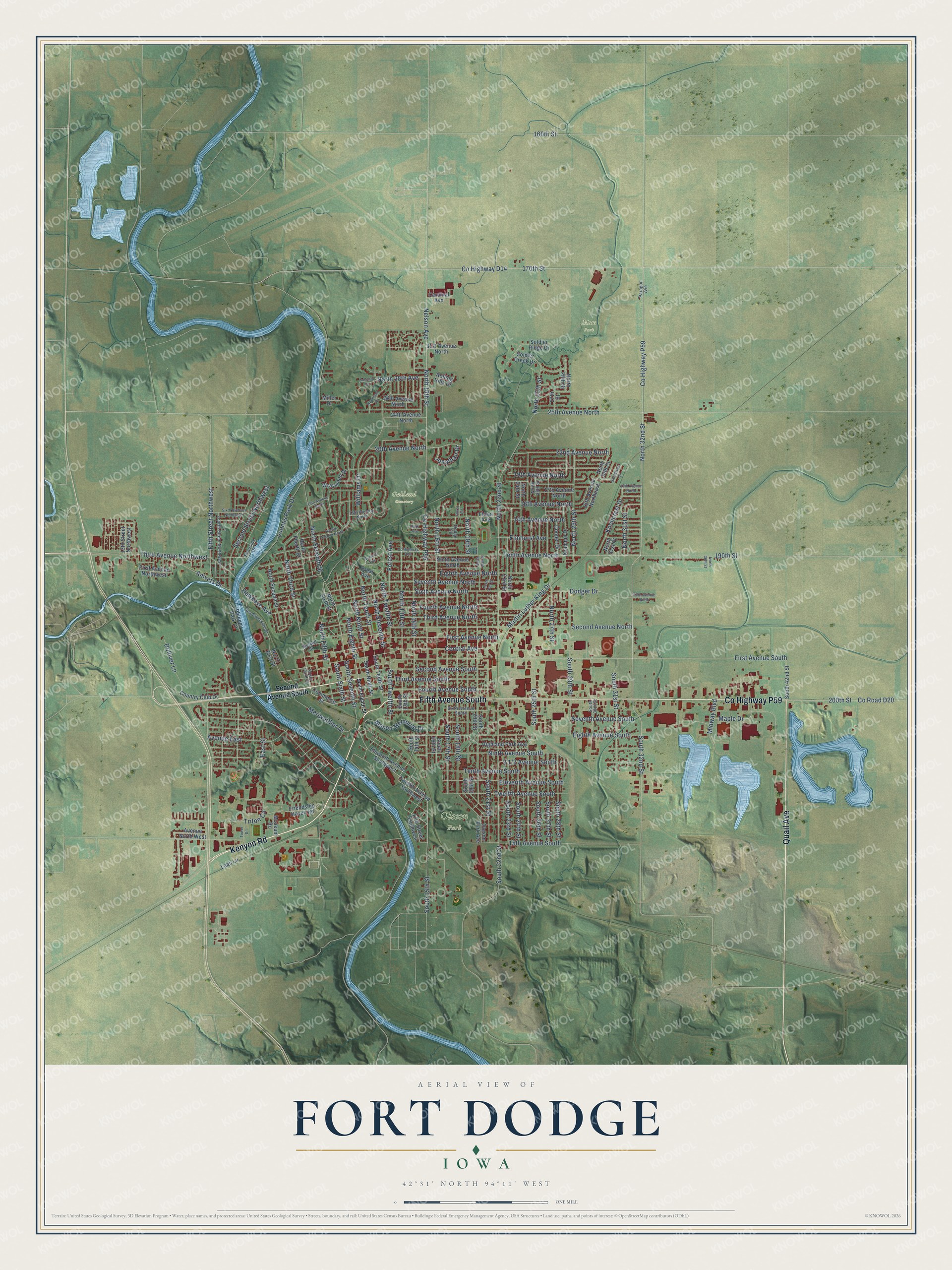
This beautifully detailed map of Fort Dodge, Iowa was created in 2026 using aerial imagery combined with modern topographical, census, street and landmark data. It's a modern aerial view of Fort Dodge in Webster County, Iowa, that combines modern data with a vintage aesthetic. The roads feature printed names, and if you look closely you can find your exact house accurately shown in its correct location.
Explore an aerial view of Fort Dodge, Iowa
On this map you'll find Mors Park, Oakland Cemetery, Oleson Park, Kenyon Road, Quail Avenue, Fifth Avenue South, Co Highway P59, Fourth Avenue South, North Seventh Street, North 32nd Street, South 32nd Street, North Third Street, and more. Each red shape is a building, so zoom in on the preview and look for yours.
Here is a piece of Fort Dodge history, in the words of the record. The Internet Archive puts it this way: "Fort Dodge was named for Colonel
Henry Dodge by order of the Secretary of War."
Fort Dodge is a city in Webster County. The Census Bureau counted 24,871 people here in 2020.
Take a closer look at the Fort Dodge map
Names on this map
These names are printed on this map.
Places: Mors Park, Oakland Cemetery and Oleson Park.
Streets and roads: Kenyon Road, Quail Avenue, Fifth Avenue South, County Highway P59, Fourth Avenue South, North Seventh Street, North 32nd Street, South 32nd Street, North Third Street, 19th Avenue North, North Eighth Street, Avenue East.
More street names, A to Z
13th Avenue North, 13th Street Northwest, 14th Avenue North, 15th Avenue North, 15th Avenue Northeast, 15th Avenue South, 16th Avenue North, 17th Avenue North, 17th Street Southwest, 18th Avenue North, 20th Avenue North, 22nd Avenue North, 24th Avenue North, 25th Avenue North, 26th Avenue North, 27th Street, 31st Avenue North, 160th Street, 170th Street, 190th Street, 200th Street, Amvets Drive, Avenue North West, Cardinal Avenue, Central Avenue, Colonial Drive, Commerce Street, Cooper Drive, Country Club Drive, County Highway D14, County Highway D18, County Highway P56, County Road D20, Crest Avenue, Dodge Circle, Dodger Drive, Dolliver Lane, East Riverside Drive, East Street, Eighth Avenue North, Eighth Avenue South, Eleventh Avenue South, Eleventh Avenue Southwest, Elmhurst Avenue, Fifth Avenue North, Fifth Street Northwest, First Avenue North, First Avenue Northwest, First Avenue South, Floral Avenue, Floral Circle, Forest Avenue, Fourth Avenue North, Fourth Street Northwest, Friendship Haven Road, Grandview Drive, Haskell Street, Hawkeye Avenue, Highland Park Avenue, Jonathan Drive, Knollcrest Drive, Kramme Drive, Leah Lane, Loomis Park Drive, Maple Drive, Martin Luther King Drive, Mason Memorial Drive, Meriweither Drive, Midway Boulevard, Miller Drive, Museum Road, Nelson Avenue, Ninth Avenue North, Ninth Avenue South, North 13th Street, North 14th Street, North 15th Street, North 16th Street, North 19th Street, North 20th Street, North 21st Street, North 22nd Street, North 23rd Street, North 24th Street, North 25th Street, North 26th Street, North 27th Street, North 28th Avenue, North 28th Street, North 29th Street, North 30th Court, North 31st Place, North 31st Street, North 36th Street, North Eleventh Street, North Fifth Street, North First Street, North Fourth Street, North Ninth Street, North Second Street, North Sixth Street, North Tenth Street, North Twelfth Street, Oleson Park Avenue, Paragon Avenue, Park Avenue, Phinney Park Drive, Riverside Drive, Rolling Hills Drive, Second Avenue North, Second Avenue South, Second Street Northwest, Seventh Avenue North, Seventh Avenue South, Sixth Avenue North, Sixth Avenue Northwest, Sixth Avenue South, Soldier Creek Drive, Soldier Ridge Drive, South 13th Street, South 14th Street, South 15th Street, South 16th Street, South 17th Street, South 18th Street, South 19th Street, South 20th Street, South 21st Street, South 22nd Street, South 23rd Street, South 24th Street, South 25th Street, South 26th Street, South 27th Street, South 28th Street, South 29th Street, South 30th Street, South 31st Street, South 42nd Street, South Eighth Street, South Ninth Street, South Seventh Street, South Sixth Street, South Tenth Street, South Third Street, South Twelfth Street, Summit Avenue, Tenth Avenue North, Tenth Avenue South, Third Avenue North, Third Avenue Northwest, Third Avenue South, Tower Drive, Triton Circle, Twelfth Avenue North, Twelfth Avenue South, Twelfth Avenue Southwest, Williams Drive, Woodland Drive, Wraywood Drive.
Created by KNOWOL in 2026. The buildings are small red shapes, the roads carry their printed names, and shaded relief shows the shape of the land. The title panel reads "AERIAL VIEW OF FORT DODGE IOWA" with 42°31' NORTH 94°11' WEST.
It suits a den, a classroom or a front hall, and it makes a gift for anyone with Fort Dodge roots. Open the preview and find the block you know. See sizes and frames for the Fort Dodge map.