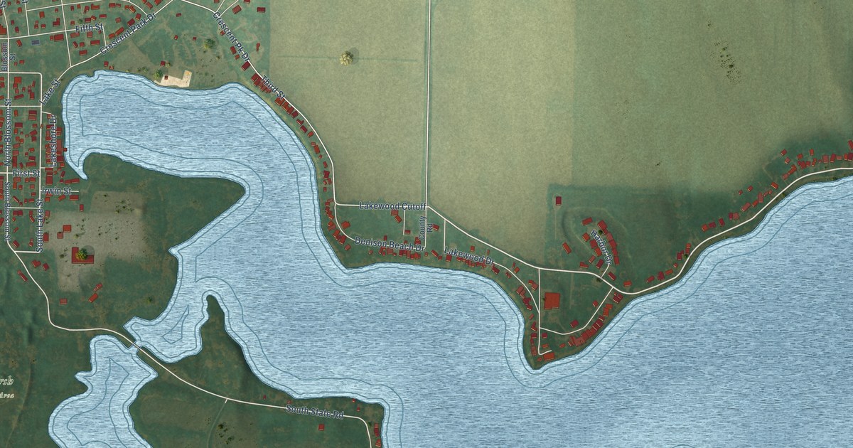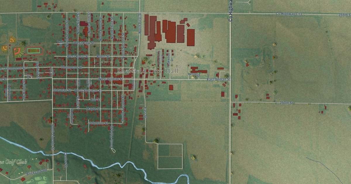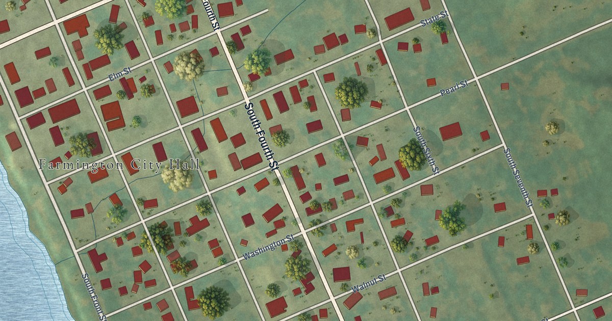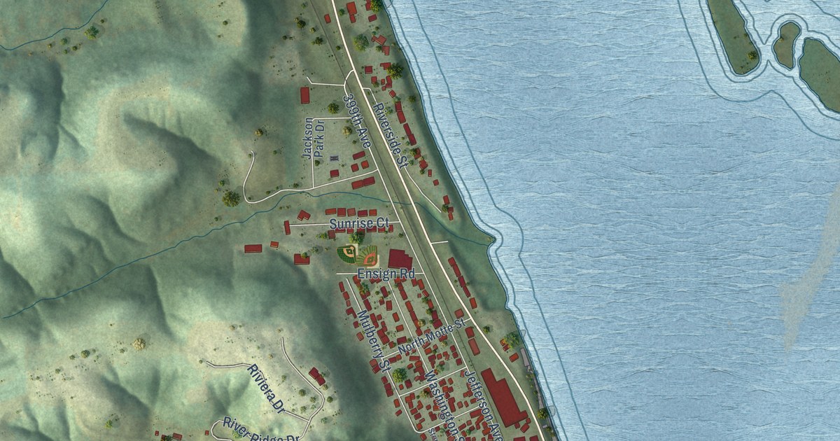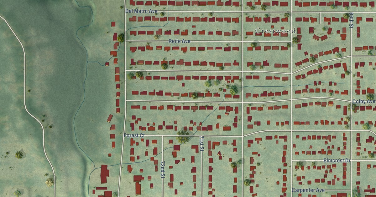
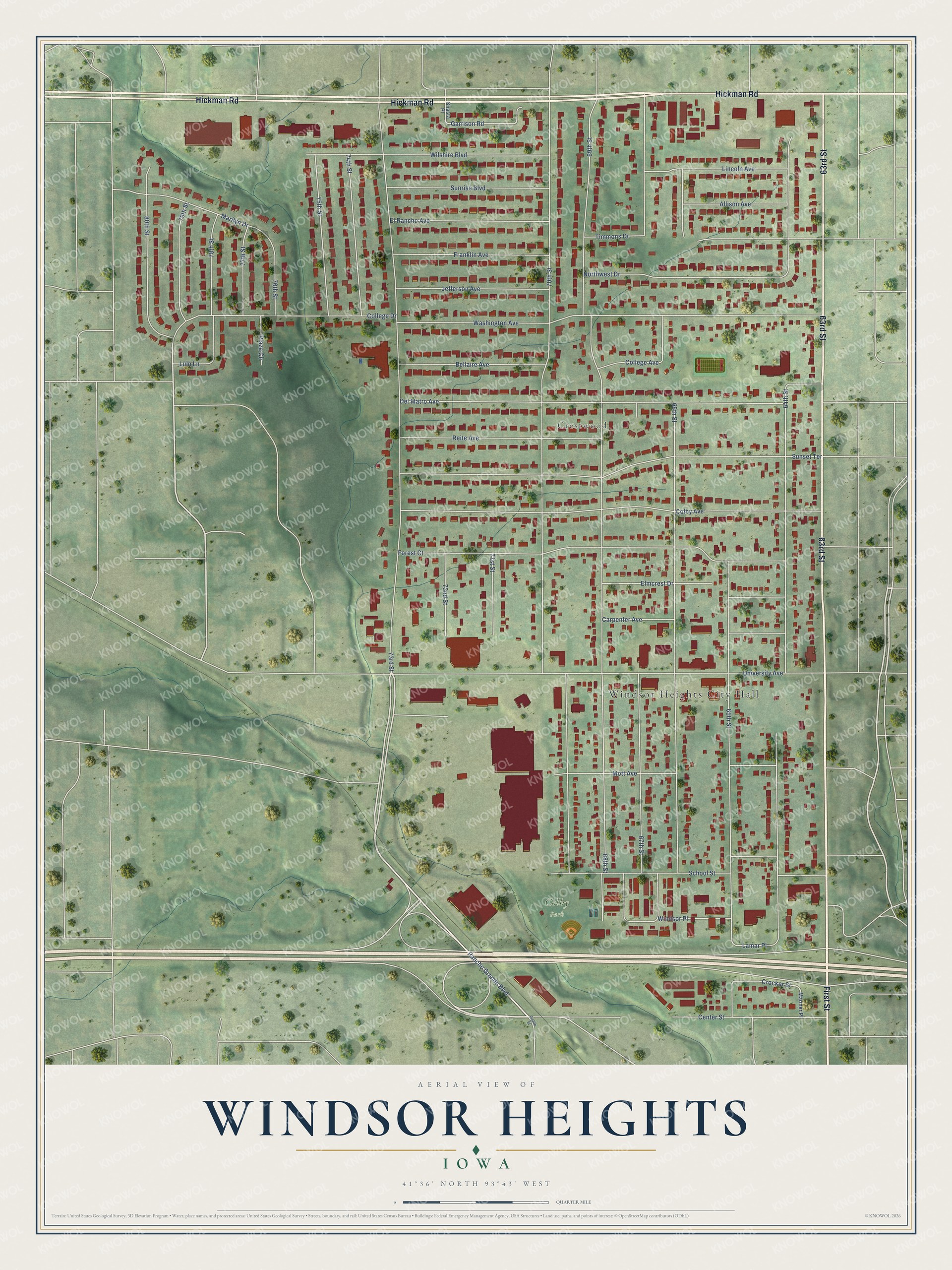
This beautifully detailed map of Windsor Heights, Iowa was created in 2026 using aerial imagery combined with modern topographical, census, street and landmark data. It's a modern aerial view of Windsor Heights in Polk County, Iowa, that combines modern data with a vintage aesthetic. The roads feature printed names, and if you look closely you can find your exact house accurately shown in its correct location.
Explore an aerial view of Windsor Heights, Iowa
On this map you'll find Windsor Heights City Hall, Crestwood, Colby Park, 63rd Street, Hickman Road, First Street, 73rd Street, College Avenue, Garrison Road, Lamar Place, Crocker Street, 68th Street, and more. Each red shape is a building, so zoom in on the preview and look for yours.
Windsor Heights has a story worth telling. The Iowa History Journal puts it this way: "The town took its name from the nearby Windsor Elementary School, which was named for early settler Henry Clay Windsor, whose family donated land for the school."
Windsor Heights is a city in Polk County. The Census Bureau counted 5,252 people here in 2020.
Take a closer look at the Windsor Heights map
Names on this map
These names are printed on this map.
Places: Windsor Heights City Hall, Crestwood and Colby Park.
Streets and roads: 63rd Street, Hickman Road, First Street, 73rd Street, College Avenue, Garrison Road, Lamar Place, Crocker Street, 68th Street, 64th Street, 66th Street, 70th Street.
More street names, A to Z
65th Street, 67th Street, 69th Street, 71st Street, 72nd Street, 74th Street, 75th Street, 76th Street, 77th Street, 78th Street, 79th Street, 80th Street, Allison Avenue, Bellaire Avenue, Carpenter Avenue, Center Street, Colby Avenue, College Drive, Del Matro Avenue, Eighth Street, Elmcrest Drive, El Rancho Avenue, Forest Court, Franklin Avenue, Jefferson Avenue, Lincoln Avenue, Luin Lane, Marilyn Drive, Mariner Place, Mott Avenue, Northwest Drive, Plaza Circle, Rancho Grande Boulevard, Reite Avenue, School Street, Shasta Place, Sunrise Boulevard, Sunset Terrace, Timmons Drive, University Avenue, Washington Avenue, Wilshire Boulevard, Windsor Place.
Created by KNOWOL in 2026. The buildings are small red shapes, the roads carry their printed names, and shaded relief shows the shape of the land. The title panel reads "AERIAL VIEW OF WINDSOR HEIGHTS IOWA" with 41°36' NORTH 93°43' WEST.
It looks right in a kitchen, an office or a den, and it's a gift for anyone who grew up in Windsor Heights or moved away. Open the preview and find your street. See sizes and frames for the Windsor Heights map.