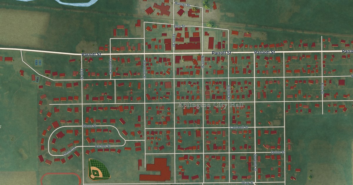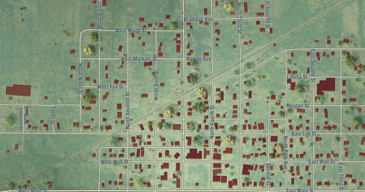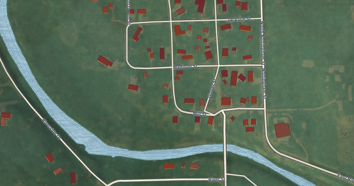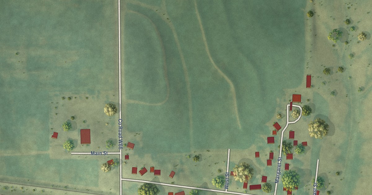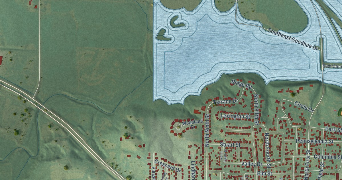
This beautifully detailed map of Carlisle, Iowa was created in 2026 using aerial imagery combined with modern topographical, census, street and landmark data. It’s a one-of-a-kind view of Carlisle that combines accurate data with a vintage aesthetic. The map shows every building in its true location, many of the roads carry their names, and the shaded topographic relief shows the shape of the land.
Explore an aerial view of Carlisle, Iowa
On the map you’ll find Carlisle City Hall and Lindhardt Park, along with Southeast 64th Avenue, Southeast Army Post Road, North First Street, First Street, Southeast 60th Street, North Third Street, Valley Drive, South Fifth Street, Circle Drive, Parkview Lane, and more. If you look closely you can even find your house accurately drawn in its correct location. Zoom in on the preview to look for yours.
Did you know this piece of Carlisle, Iowa history?
From the History of Warren County: "Carlisle was laid out in 1851 by Jerry Church and Daniel Moore. Mr. Church had laid out a town about two miles northeast of Carlisle, in Polk county, and when the floods of 1851 came (for that year was noted for floods) Mr. Church found his town under water, and moved to the present site of Carlisle."
Take a closer look at the Carlisle map
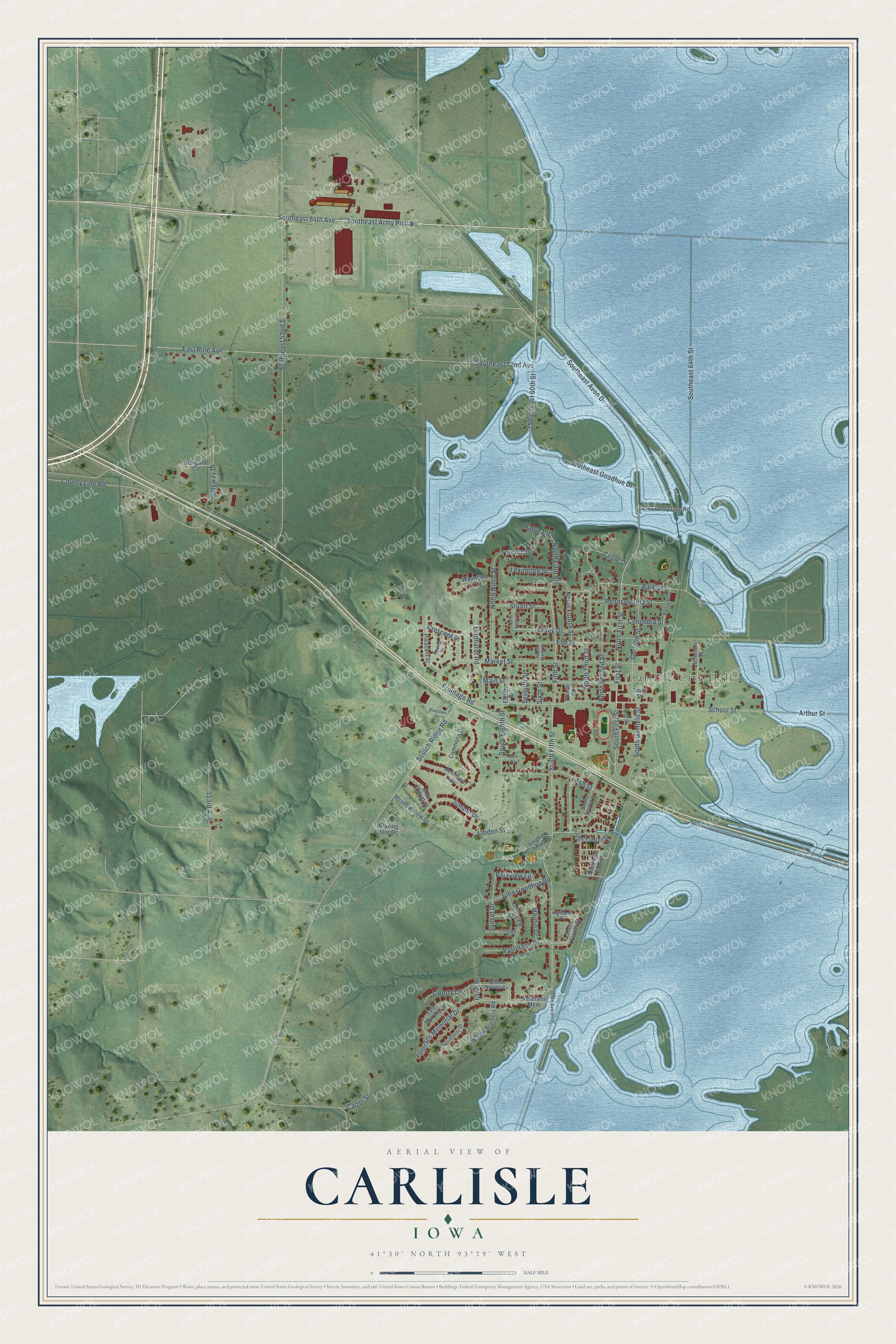
Street and place names on the Carlisle, Iowa map
These names are printed on the map of Carlisle, Iowa.
Places: Carlisle City Hall, Lindhardt Park and Lindhart Park.
Streets and roads: Southeast 64th Avenue, Southeast Army Post Road, North First Street, First Street, Southeast 60th Street, North Third Street, Valley Drive, South Fifth Street, Circle Drive, Parkview Lane, Fifth Street, Terrace Drive.
More street names, A to Z
153rd Avenue, 165th Avenue, Arthur Street, Ash Street, Bellflower Drive, Blazing Star Drive, Blue Bonnet Drive, Bluestem Drive, Carter Street, Cole Street, Columbia Street, Commons Drive, County Line Road, Crescent Drive, Crestview Drive, East County Line Road, East Pine Avenue, Eighth Street, Elm Street, Fleming Road, Fourth Street, Frontage Road, Garfield Street, Gateway Drive, Grant Street, Hardin Drive, Highland Place, Irwin Drive, Jefferson Street, John Clinton Drive, John Goodhue Road, Juniper Drive, Lexington Street, Liberty Lane, Linden Street, Lindhardt Road, Lyle Murphy Drive, Main Street, Market Street, Meadow View Drive, Norgard Circle, Normandy Drive, Northeast 25th Street, North Eighth Street, North Fifth Street, North Fourth Street, North Ninth Street, North Second Street, North Sixth Street, Park Street, Patterson Drive, Pennsylvania Street, Pleasant Street, Railroad Street, Ridge Road, School Street, Scotch Ridge Road, Seventh Street, Sixth Street, Southeast 52nd Street, Southeast 64th Street, Southeast 72nd Avenue, Southeast Avon Drive, Southeast Goodhue Drive, South Eighth Street, South First Street, South Fourth Street, South Garfield Street, South Second Street, Stuart Street, Sunridge Drive, Sunset Drive, Veterans Mem, Veterans Memorial Drive, Vine Street, Walter Brothers Road, William Nowels Circle, Woodland Drive.
See the Carlisle, Iowa map on a wall
The Carlisle map as an 18 x 24 inch print in a black frame.

This beautifully detailed map of Carlisle makes an attractive addition to your office, library, or den, and it can even be used to teach children the geography and history of the area. It also makes a great gift for anyone with Carlisle roots. When you’re done exploring, click here to get your copy of the Carlisle map.