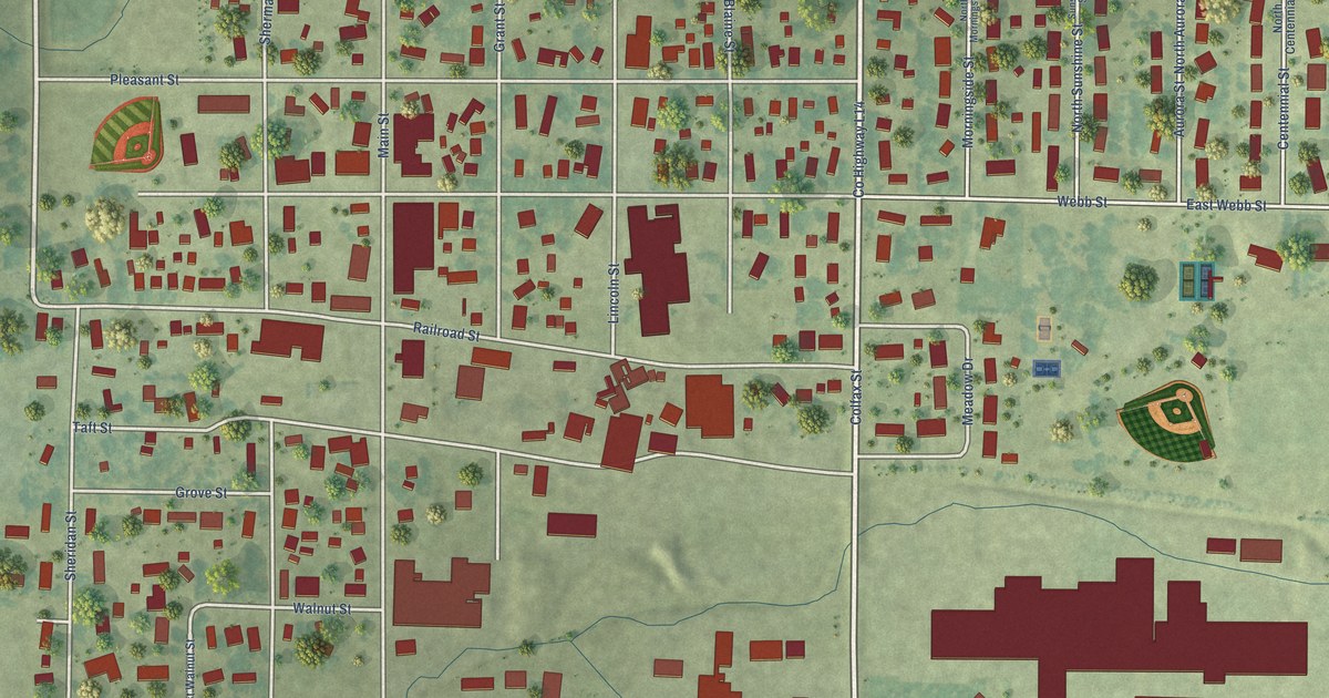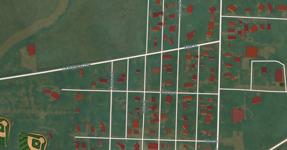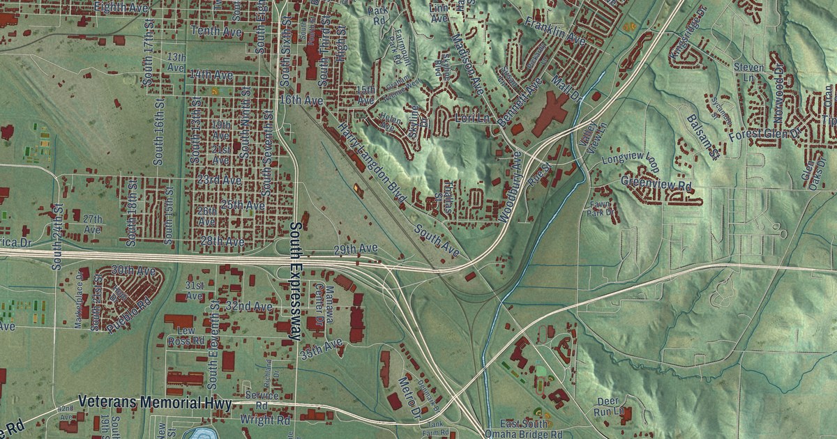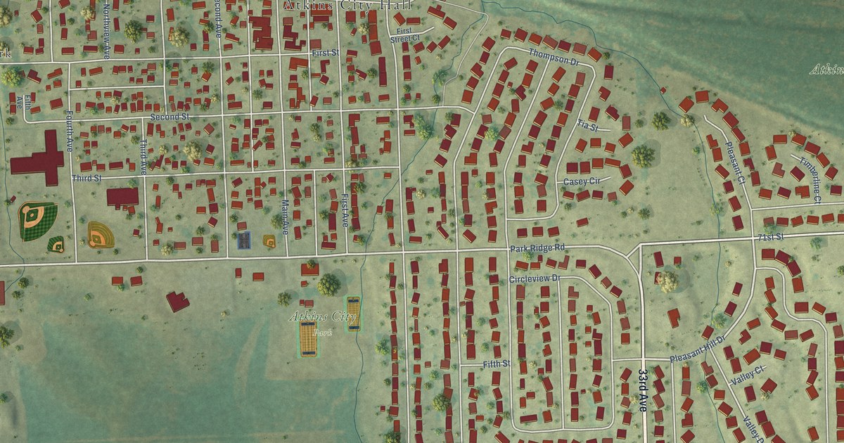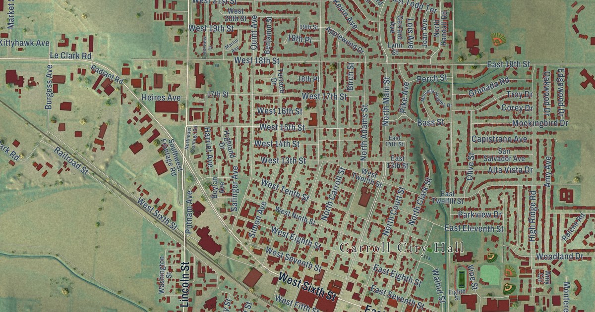
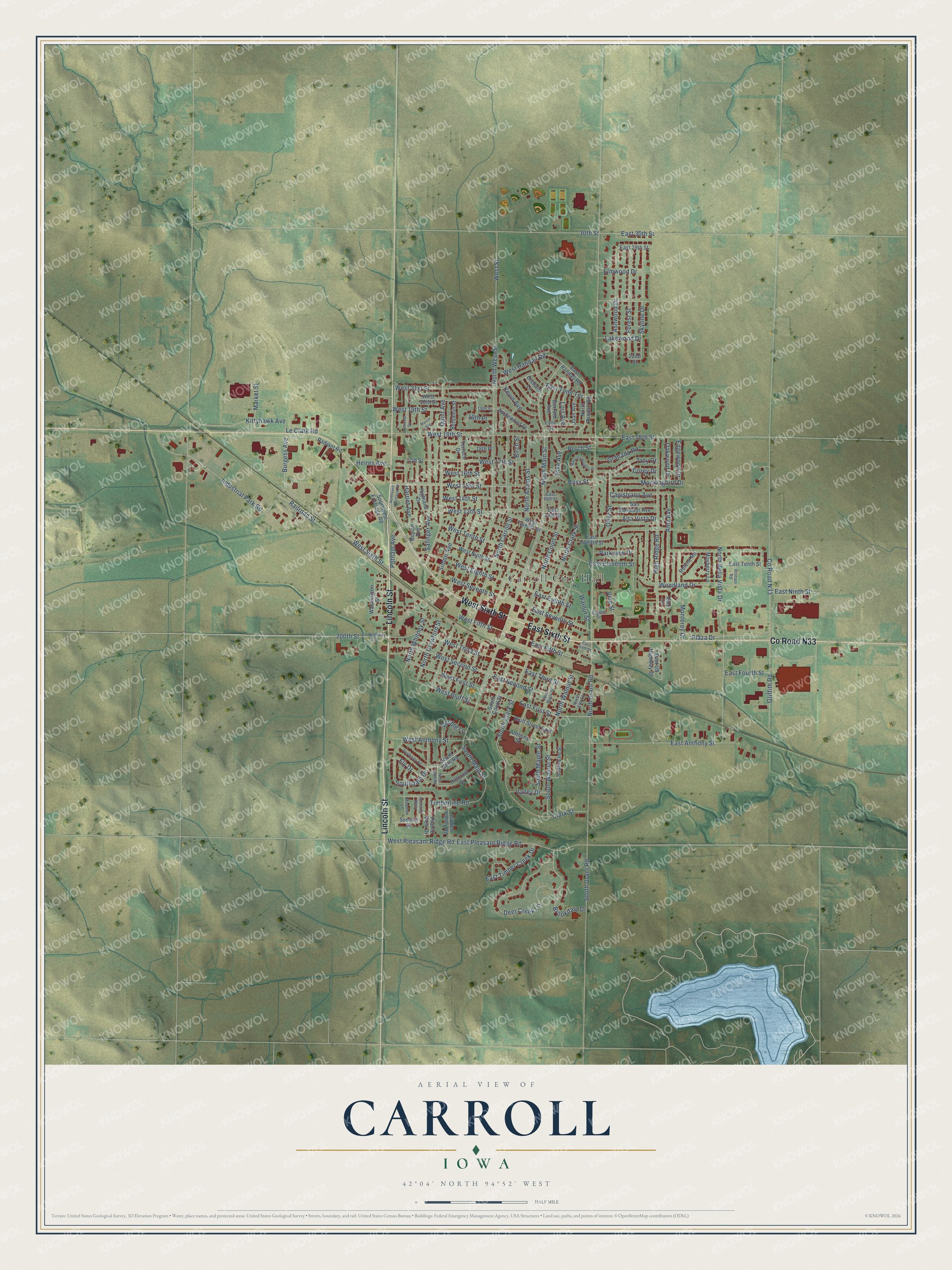
This beautifully detailed map of Carroll, Iowa was created in 2026 using aerial imagery combined with modern topographical, census, street and landmark data. It's a modern aerial view of Carroll in Carroll County, Iowa, that combines modern data with a vintage aesthetic. The roads feature printed names, and if you look closely you can find your exact house accurately shown in its correct location.
Explore an aerial view of Carroll, Iowa
On this map you'll find Carroll City Hall, West Sixth Street, Lincoln Street, East Sixth Street, Co Road N33, West 15th Street, Harriet Avenue, North Carroll Street, Quint Avenue, North Main Street, East First Street, Burgess Avenue, and more. Each red shape is a building, so zoom in on the preview and look for yours.
Every town has a first chapter, and Carroll is no exception. The Historical Marker Database puts it this way: "Sighting the town's water tower and courthouse clock through the snowstorm the loud and low plane flew several times over Carroll trying to find a place to land."
Carroll is a city in Carroll County. The Census Bureau counted 10,321 people here in 2020.
Take a closer look at the Carroll map
Names on this map
These names are printed on this map.
Places: Carroll City Hall.
Streets and roads: West Sixth Street, Lincoln Street, East Sixth Street, County Road N33, West 15th Street, Harriet Avenue, North Carroll Street, Quint Avenue, North Main Street, East First Street, Burgess Avenue, Le Clark Road.
More street names, A to Z
17th Street, 18th Place, 19th Place, 19th Street, 22nd Street, 30th Street, 200th Street, Alta Vista Drive, Amy Avenue, Amy Circle, Anthony Street, Applewood Drive, Ashwood Drive, Bass Street, Benjamin Street, Birch Street, Bluff Street East, Boylan Avenue, Brookdale Drive, Capistrano Avenue, Clark Street, Corey Drive, County Highway E35, Crestview Drive, Deer Creek Lane, East 13th Street, East 14th Street, East 18th Street, East 29th Street, East 30th Street, East Anthony Street, East Eighth Street, East Eleventh Street, East Fifth Street, East Fourth Street, East Ninth Street, East Pleasant Ridge Road, East Randall Road, East Second Street, East Seventh Street, East Tenth Street, East Third Street, East Timber Creek Drive, East Todd Terrace, East Twelfth Street, East US Highway 30, Edgewood Drive, Eighth Street, Elmwood Drive, Ely Drive, Field Crest Drive, Forest Street, Gerrard Avenue, Granada Road, Griffith Road, Heires Avenue, Hidden Valley Road, Highland Drive, High Ridge Road, Hillcrest Drive, Industrial Park Road, Joan Avenue, Kevin Avenue, Kittyhawk Avenue, Lakewood Drive, Lois Avenue, Lynn Street, Marcella Heights Drive, Market Street, Martin Avenue, Mayberry Lane, Meadow Lane, Mockingbird Drive, Monterey Drive, North Adams Street, North Bella Vista Drive, North Clark Street, North Court Street, North Crawford Street, Northeast Frontage Road, North Elm Street, North Grant Road, North Maple Street, North Randall Road, North Walnut Street, North West Street, North Whitney Street, Oakwood Drive, Olive Street, Orchard Lane, Parkview Drive, Peeble Lane, Perch Street, Pike Avenue, Plaza Drive, Prairie View Drive, Putnam Avenue, Radiant Road, Railroad Street, Rolene Road, Roman Road, Salinger Avenue, San Salvador Avenue, Simon Avenue, Skyline Drive, South Clark Street, South Court Street, Southdale Drive, South Elm Street, South Gate Road, Southgate Road, South Grant Road, South Main Street, South Maple Street, South Walnut Street, Southwest Frontage Road, Summit Drive, Terrace Drive, Timberline Road, Troy Drive, Valley Drive, Vine Street, Walnut Street, Washington Street, West 13th Street, West 14th Street, West 16th Street, West 17th Street, West 18th Street, West 19th Street, West 20th Street, West 21st Street, West Anthony Street, West Bluff Street, West Eighth Street, West Fifth Street, West First Street, West Gate Road, West Ninth Street, West Pleasant Ridge Road, West Randall Road, West Second Street, West Seventh Street, West Street, West Tenth Street, West Third Street, West Twelfth Street, Woodland Drive.
Created by KNOWOL in 2026. The buildings are small red shapes, the roads carry their printed names, and shaded relief shows the shape of the land. The title panel reads "AERIAL VIEW OF CARROLL IOWA" with 42°04' NORTH 94°52' WEST.
Hang it in the hallway, the office or the cabin, or give it to someone who left Carroll and still calls it home. Open the preview and look for a street you know. See sizes and frames for the Carroll map.