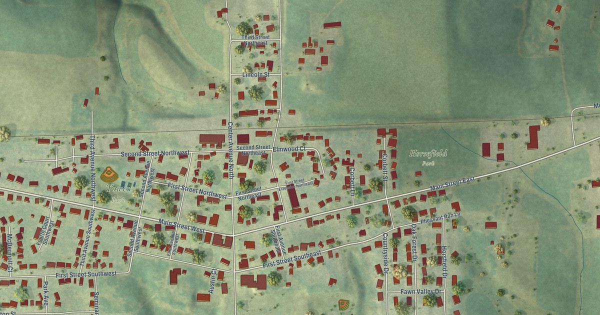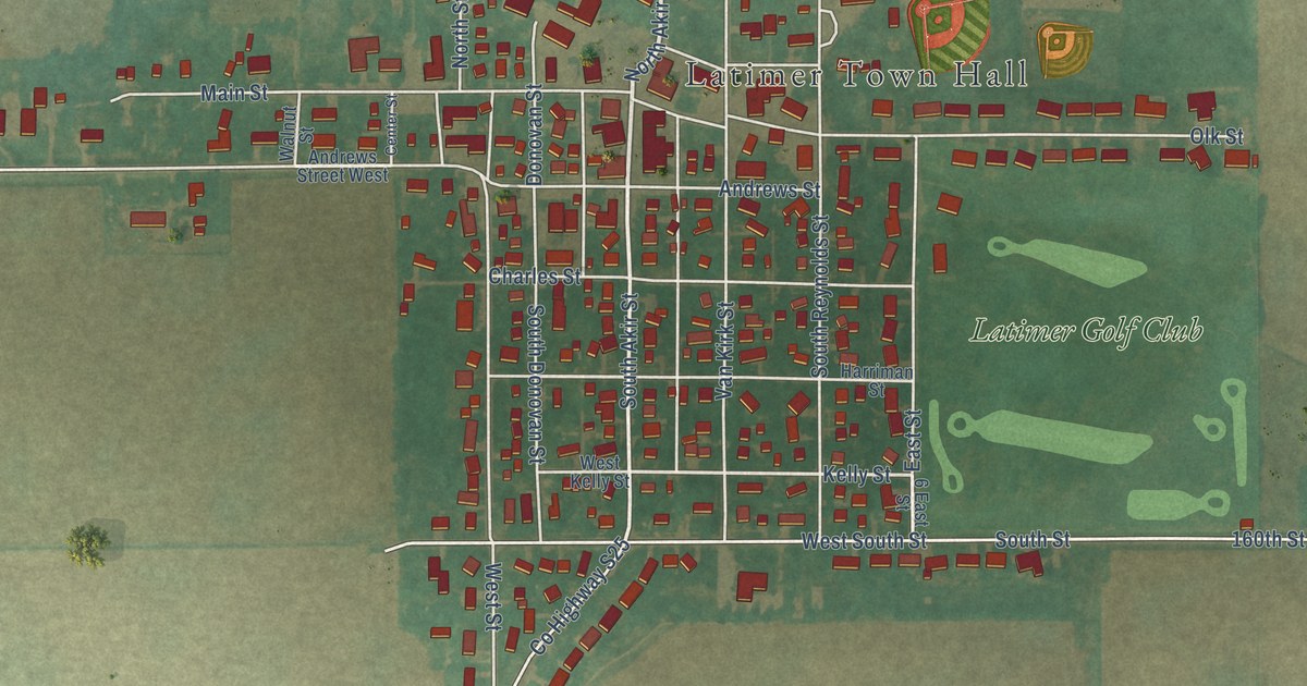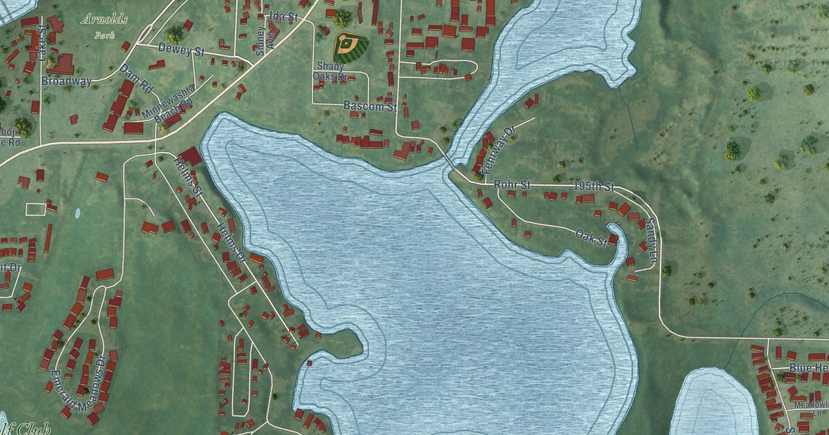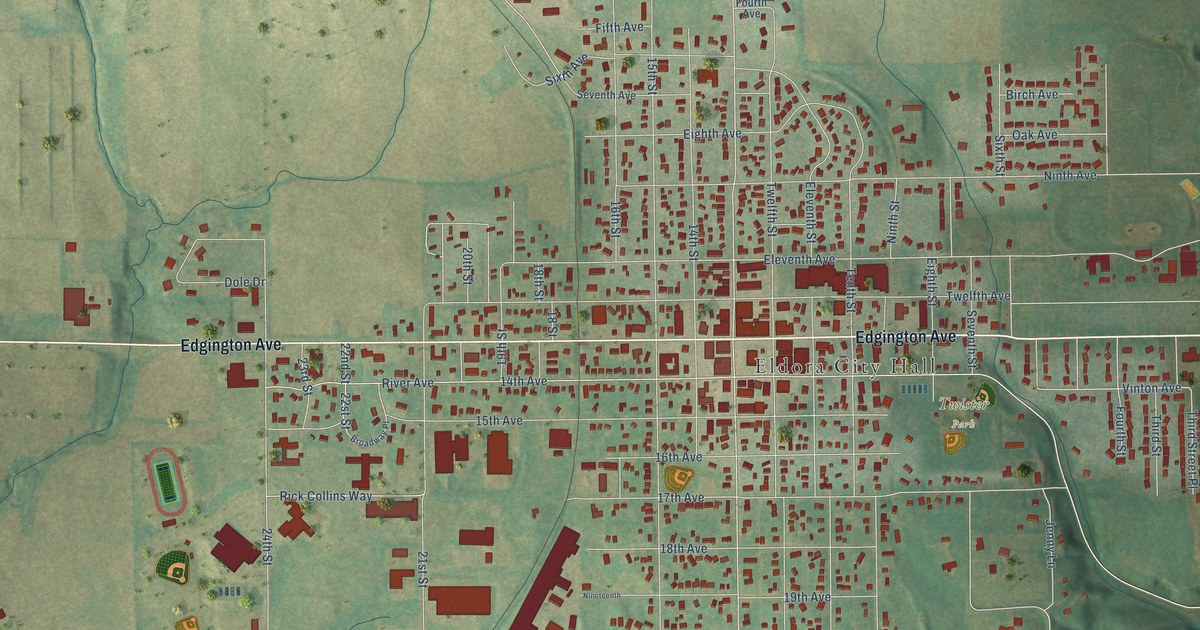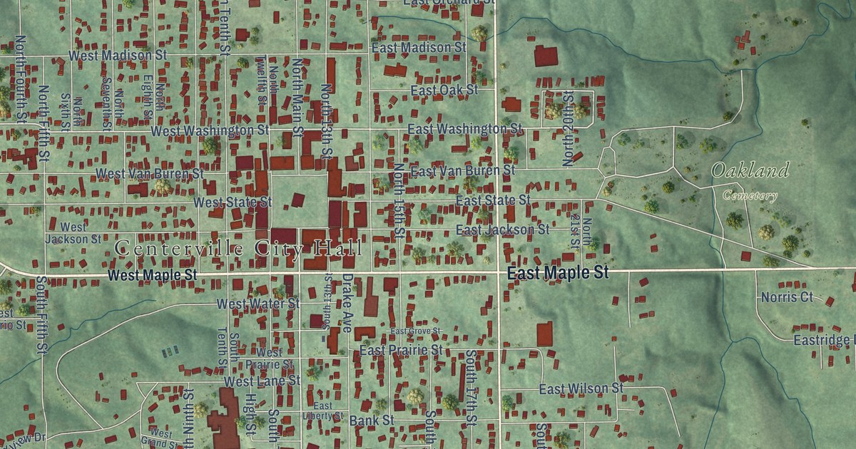
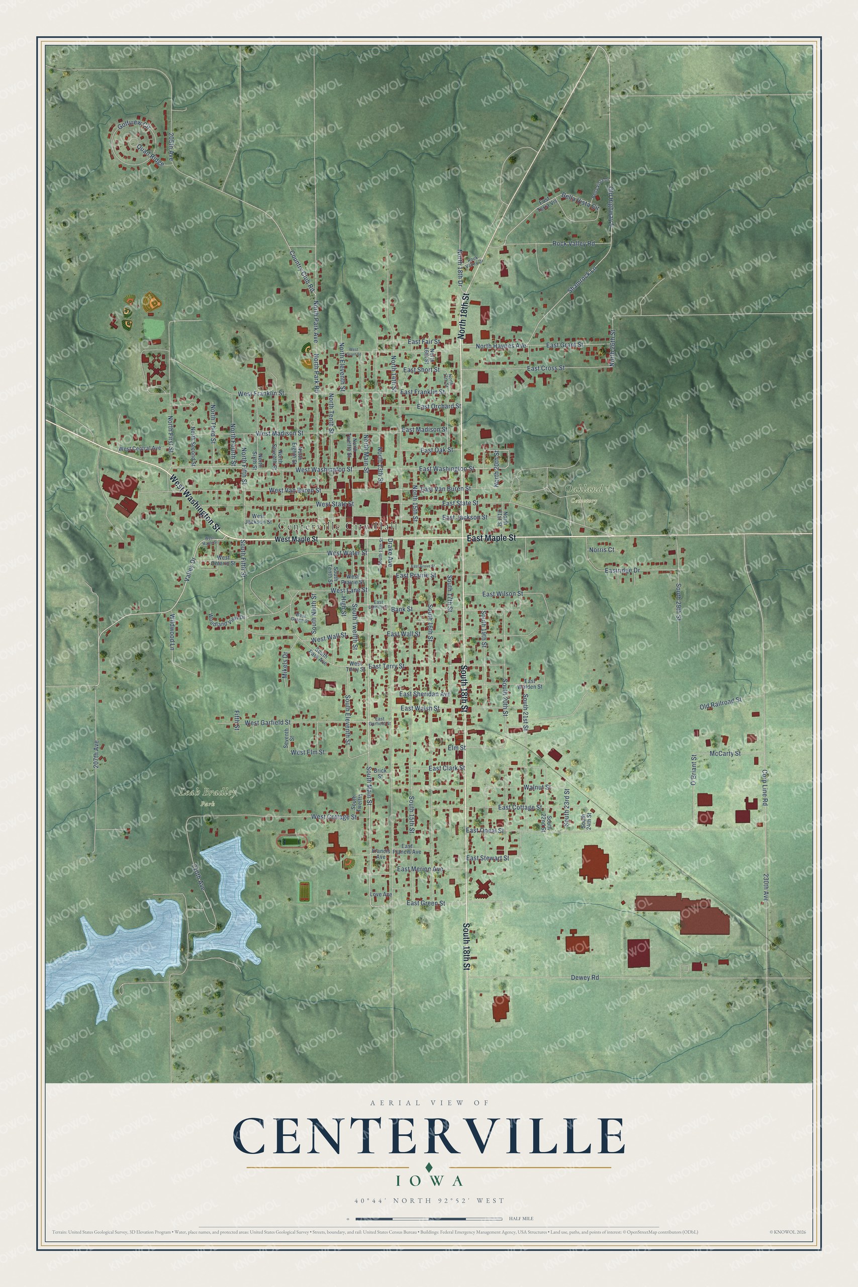
This beautifully detailed map of Centerville, Iowa was created in 2026 using aerial imagery combined with modern topographical, census, street and landmark data. It's a modern aerial view of Centerville in Appanoose County, Iowa, that combines modern data with a vintage aesthetic. The roads feature printed names, and if you look closely you can find your exact house accurately shown in its correct location.
Explore an aerial view of Centerville, Iowa
On this map you'll find Centerville City Hall, Leah Bradley Park, Oakland Cemetery, East Maple Street, North 18th Street, West Washington Street, South 18th Street, South Main Street, North Main Street, Valley Drive, East Washington Street, Shamrock Lane, and more. Each red shape is a building, so zoom in on the preview and look for yours.
Every town has a first chapter, and Centerville is no exception. The Federal Writers' Project puts it this way: "The residents, however, called the town Sentersville in honor of Governor Senter of Tennessee. When the name was submitted to the General Assembly in January 1847, the legislators changed it to Centerville, believing the original was an error in spelling."
Centerville is a city in Appanoose County. The Census Bureau counted 5,412 people here in 2020.
Take a closer look at the Centerville map
Names on this map
These names are printed on this map.
Places: Centerville City Hall, Leah Bradley Park and Oakland Cemetery.
Streets and roads: East Maple Street, North 18th Street, West Washington Street, South 18th Street, South Main Street, North Main Street, Valley Drive, East Washington Street, Shamrock Lane, West Garfield Street, Old Highway 5, East Clark Street.
More street names, A to Z
205th Avenue, 207th Avenue, 210th Avenue, 230th Avenue, Bank Street, Bella Vista Circle, Bella Vista Drive, Brick Street, Corp Line Road, Country Club Road, Dewey Road, Drake Avenue, East Cottage Street, East Cross Street, East Fair Street, East Francis Avenue, East Franklin Street, East Garfield Street, East Grant Street, East Green Street, East Grove Street, East Jackson Street, East Liberty Street, East Madison Street, East Merion Avenue, East Oak Street, East Oneal Street, East Orchard Street, East Prairie Street, Eastridge Drive, East Sheridan Avenue, East Short Street, East State Street, East Stewart Street, East Terra Vis, East Terry Street, East Van Buren Street, East Walden Street, East Wall Street, East Walsh Street, East Wilson Street, Elm Street, Fifth Street, Francis Avenue, Golfview Circle, High Street, Love Avenue, McCarty Street, Mikels Drive, Norris Court, North 13th Street, North 14th Street, North 15th Street, North 16th Street, North 17th Street, North 18th Drive, North 20th Street, North 21st Street, North 26th Street, North Eighth Street, North Eleventh Street, North Fifth Street, North First Street, North Fourth Street, North Haynes Avenue, North Park Avenue, North Park Road, North Second Street, North Seventh Street, North Sixth Street, North Tenth Street, North Third Street, North Twelfth Street, O'Briant Street, Old Railroad Street, Quail Ridge, Rock Valley Drive, Rock Valley Road, Seventh Street, South 13th Street, South 15th Street, South 16th Street, South 17th Street, South 19th Street, South 20th Street, South 21st Street, South 22nd Street, South 23rd Street, South 24th Street, South 29th Street, South Eleventh Street, South Fifth Street, South Ninth Street, South Park Avenue, South Tenth Street, South Twelfth, South Twelfth Street, Walnut Street, West Central Avenue, West Cottage Street, West Elm Street, West Franklin Street, West Grand Street, West Grant Street, West Jackson Street, West Lane Street, West Madison Street, West Maple Street, West Ontario Street, West Prairie Street, West State Street, West Terry Street, West Van Buren Street, West Wall Street, West Water Street, Wildwood Lane, Woodland View Drive.
Created by KNOWOL in 2026. The buildings are small red shapes, the roads carry their printed names, and shaded relief shows the shape of the land. The title panel reads "AERIAL VIEW OF CENTERVILLE IOWA" with 40°44' NORTH 92°52' WEST.
Hang it in the hallway, the office or the cabin, or give it to someone who left Centerville and still calls it home. Open the preview and look for a street you know. See sizes and frames for the Centerville map.