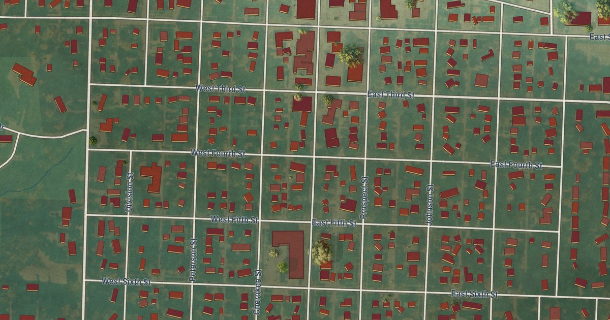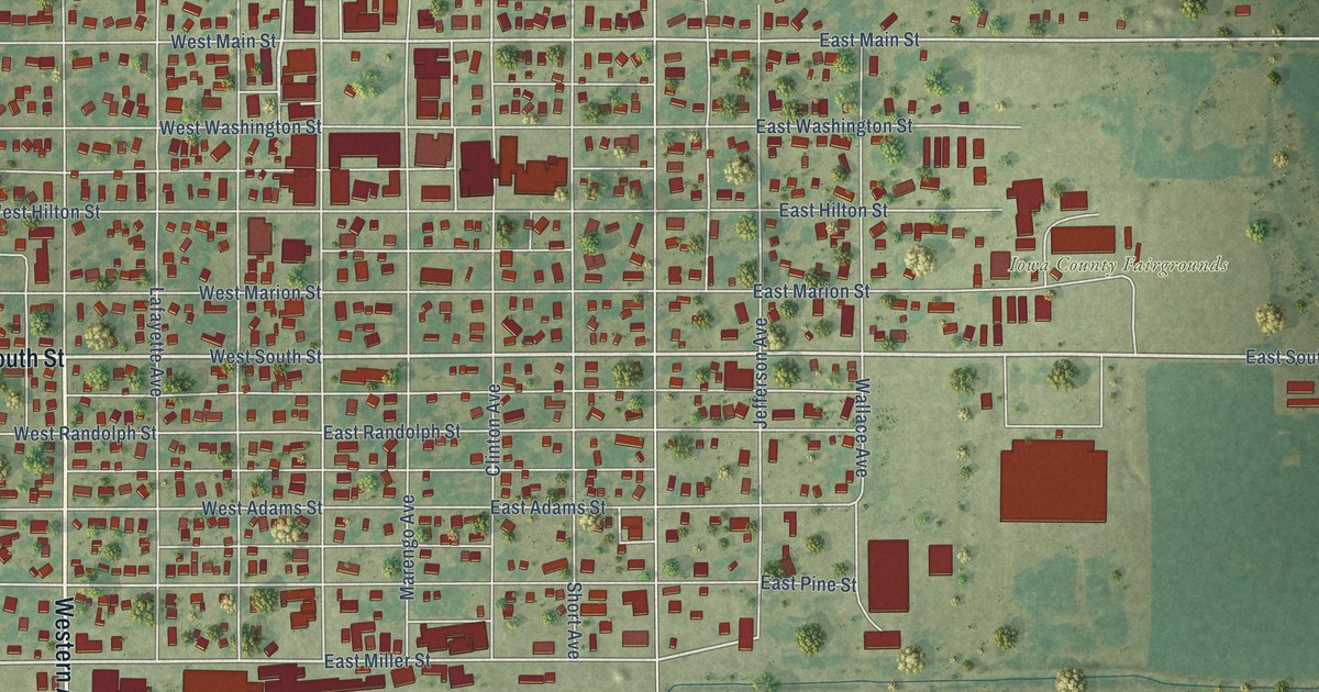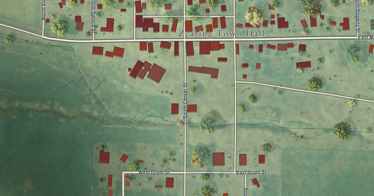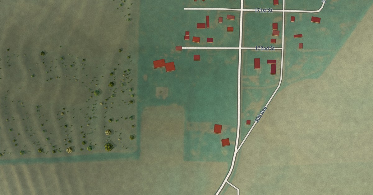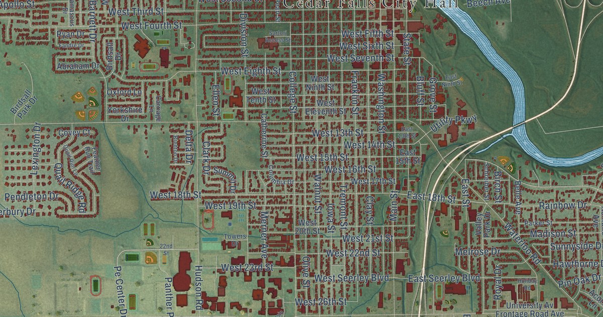
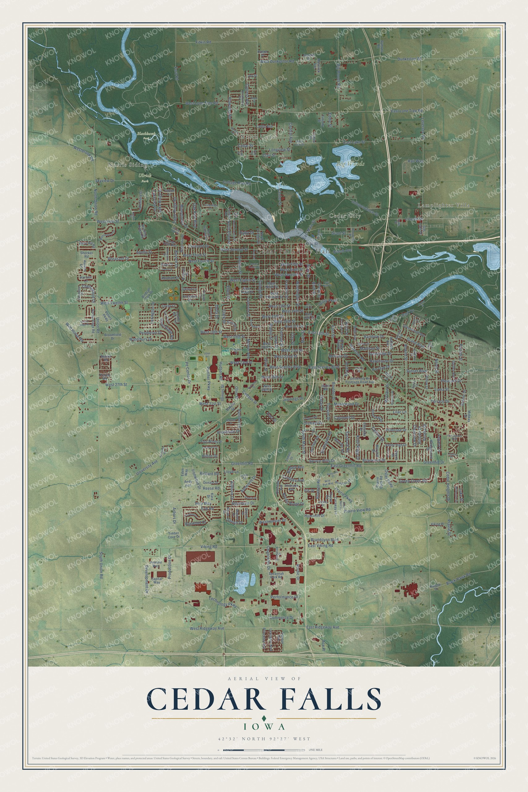
This beautifully detailed map of Cedar Falls, Iowa was created in 2026 using aerial imagery combined with modern topographical, census, street and landmark data. It’s a one-of-a-kind view of Cedar Falls that combines accurate data with a vintage aesthetic. The map shows every building in its true location, many of the roads carry their names, and the shaded topographic relief shows the shape of the land.
Explore an aerial view of Cedar Falls, Iowa
On the map you’ll find Cedar Falls City Hall, Norris Siding, North Cedar, Lamplighter Villa, Cedar City, Big Woods, Blackhawk Park, and Ulrich Park, along with Brandilynn Boulevard, West 31st Street, Technology Parkway, Pe Center Drive, and more. If you look closely you can even find your house accurately drawn in its correct location. Zoom in on the preview to look for yours.
Did you know this piece of Cedar Falls, Iowa history?
From the History of Black Hawk County: "A town plat was surveyed, and the little settlement for the first time received the name of Cedar Falls. The plat was not recorded, however, and two years later the town was again surveyed and recorded as Independence."
Take a closer look at the Cedar Falls map
Street and place names on the Cedar Falls, Iowa map
These names are printed on the map of Cedar Falls, Iowa.
Places: Cedar Falls City Hall, Norris Siding, North Cedar, Lamplighter Villa, Cedar City, Big Woods, Blackhawk Park and Ulrich Park.
Streets and roads: Brandilynn Boulevard, West 31st Street, Technology Parkway, Pe Center Drive, East 18th Street, Viking Road, Greenhill Road, West 15th Street, Production Drive, Eagle Ridge Road, Danish Drive, Center Street.
More street names, A to Z
22nd Street, Abraham Drive, Ace Place, Acorn Lane, Addison Drive, Algonquin Drive, Alvarado Avenue, Amelia Drive, Andy Avenue, Apollo Street, Arbors Drive, Ashland Avenue, Ashworth Drive, Autumn Lane, Balboa Avenue, Barkwood Drive, Barnett Drive, Beaver Road, Beech Avenue, Belle Avenue, Berry Hill Road, Big Woods Road, Birch Street, Birdsall Drive, Birdsall Park Drive, Black Hawk Road, Bluebell Road, Bluegrass Circle, Bluegrass Court, Bluff Street, Boulder Drive, Boxwood Drive, Brenton Drive, Briarwood Drive, Brookside Drive, Broomfield Drive, California Street, Calumett Drive, Cameo Street, Campus Street, Capital Way, Caraway Lane, Carlton Drive, Carriage Lane, Catherine Street, Cedar Heights Drive, Cedar Street, Central Avenue, Chancellor Drive, Cherry Lane, Cherrywood Drive, Clair Street, Clark Drive, Clay Street, Clearview Drive, College Street, Columbia Drive, Columbine Drive, Commerce Drive, Continental Drive, Convair Lane, Cooley Street, Cordoba Avenue, Cottage Row Road, Covey Court, Crescent Drive, Cypress Avenue, Daina Drive, Dakota Street, Dallas Drive, Damascus Drive, Deena Drive, Delta Drive, Development Drive, Division Street, Donald Drive, Dunkerton Road, East 13th Street, East 15th Street, East Greenhill Road, East Lake Street, East Lone Tree Road, East Main Street, East Ninth Street, Eastpark Road, East Ridgeway Avenue, East Seerley Boulevard, East Street, East Viking Road, Eddie Street, Eden Way, Ellen Street, Elm Street, Enterprise Drive, Erik Road, Falcon Lane, Fandre Drive, Feather Run Trail, First Street, Fitkin Road, Five Seasons Boulevard, Ford Road, Forrest Road, Four Winds Drive, Franklin Street, Garden Avenue, Gas Light Drive, Glacier Drive, Grand Boulevard, Granite Ridge Road, Grant Street, Greeley Street, Green Creek Road, Greenhill Drive, Greenwood Avenue, Grove Street, Harvest Lane, Hawthorne Drive, Heritage Road, Hiawatha Road, Higby Drive, Hillcrest Drive, Hillside Drive, Hilton Drive, Holiday Road, Homeway Drive, Horseshoe Drive, Howe Street, Hudson Road, Hunter Drive, Hyacinth Drive, Idaho Road, Illinois Street, Independence Street, Iowa Street, Iris Drive, Ironwood Drive, James Drive, Jennings Drive, Joanne Street, Joy Street, Kara Drive, Katoski Drive, Knoll Ridge Drive, Lake Ridge Drive, Lakeshore Drive, Lakeview Drive, Lantz Avenue, Laurinda Drive, Leclair Street, Legacy Lane, Leversee Road, Lexington Boulevard, Lexington Drive, Lilac Lane, Lincoln Street, Lloyd Lane, Loma Street, Longview Street, Loren Drive, Lovejoy Drive, Luke Street, Madison Street, Magnolia Drive, Main Street, Maple Street, Maplewood Drive, Marius Drive, Maryhill Drive, Maucker Road, Maverick Avenue, McClain Drive, Melrose Drive, Merner Avenue, Midway Drive, Millenium Drive, Minnetonka Drive, Neola Street, Nordic Drive, Nordic Ridge Drive, Norse Drive, North College Street, North Ellen Street, North Francis Street, North Highland Drive, North Union Road, Oakland Avenue, Oak Park Boulevard, Ohio Street, Olive Street, Orchard Drive, Oregon Road, Oster Parkway, Oxford Lane, Panther Lane, Panther Parkway, Park Circle, Park Drive, Parker Street, Parrish Street, Parsley Drive, Pearl Street, Pendleton Drive, Performance Drive, Peters Parkway, Pheasant Drive, Pine Street, Pin Oak Drive, Pleasant Drive, Pocahontas Road, Prairie Dock Road, Prairie Parkway, Prairie Road, Prairie Street, Prairie View Road, Primrose Drive, Princeton Avenue, Quail Ridge Road, Quail Run Lane, Quesada Avenue, Rail Way, Rainbow Drive, Reese Road, Richard Road, Rocky Ridge Road, Roosevelt Street, Rownd Street, Royal Drive, Ryan Drive, Sartori Access Street, Savannah Park Road, Scenic Drive, Schreiber Street, Shocker Road, Skyview Drive, Southlawn Road, South Main Street, South Union Road, Spruce Hills Drive, Starview Drive, State Street, Summit Drive, Sunny Lane, Sunnyside Drive, Sunset Boulevard, Sweet Basil Lane, Symons Road, Terrace Drive, Thunder Ridge Boulevard, Thyme Road, Timber Cove Drive, Timber Drive, Timberledge Drive, Timothy Street, Towers Drive, Tremont Street, Trenton Avenue, Tucson Drive, Union Road, University Avenue, University Av Frontage Road Avenue, Utility Parkway, Valley High Drive, Valley Park Drive, Venture Way, Veralta Drive, Vera Way, Viking Place, Vine Street, Walnut Street, Washington Street, Waterbury Drive, Waterloo Road, Wedgewood Drive, West 13th Street, West 14th Street, West 16th Street, West 17th Street, West 18th Street, West 19th Street, West 20th Street, West 21st Street, West 22nd Street, West 23rd Street, West 26th Street, West 27th Street, West 28th Street, Westbrook Road, West Dunkerton Road, West Eighth Street, West Eleventh Street, Western Avenue, West Fifth Street, West First Street, West Fourth Street, West Lake Street, West Lone Tree Road, Westminster Drive, West Ninth Street, West Ridgeway Avenue, West Second Street, West Seerley Boulevard, West Seventh Street, West Sixth Street, West Tenth Street, West Third Street, West Twelfth Street, White Tail Drive, Wild Horse Road, Wild Rye Way, Willow Lane, Winding Ridge Road, Wisconsin Street, Wynnewood Drive, Yorkshire Drive.
See the Cedar Falls, Iowa map on a wall
The Cedar Falls map as an 18 x 24 inch print in a black frame.

This beautifully detailed map of Cedar Falls makes an attractive addition to your office, library, or den, and it can even be used to teach children the geography and history of the area. It also makes a great gift for anyone who grew up in Cedar Falls or moved away. When you’re done exploring, click here to get your copy of the Cedar Falls map.