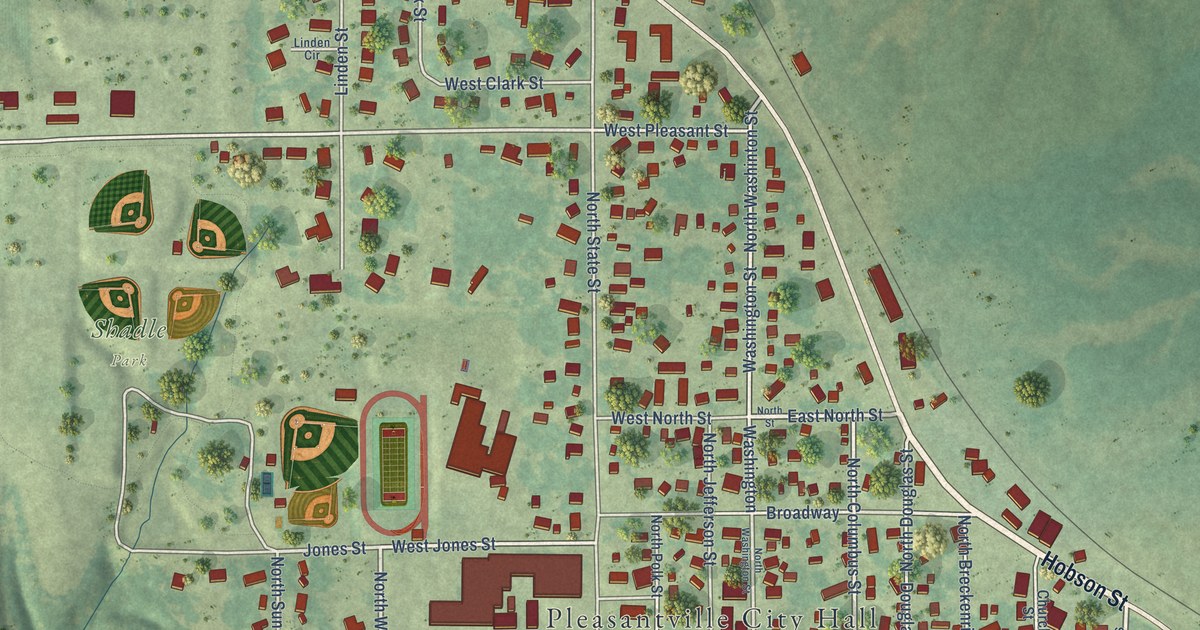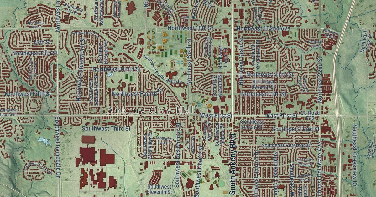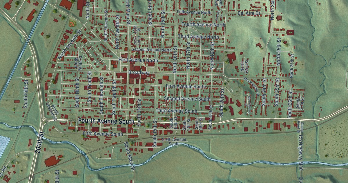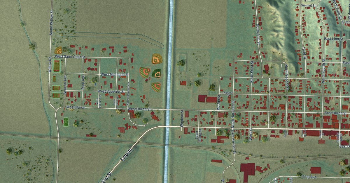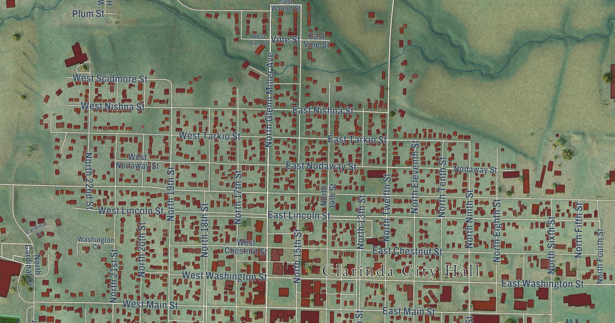
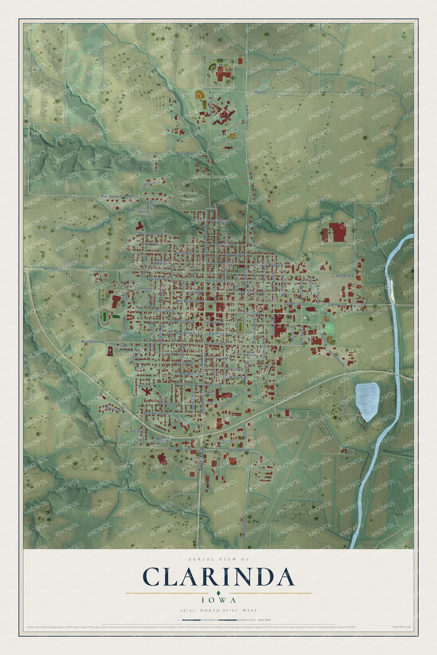
This beautifully detailed map of Clarinda, Iowa was created in 2026 using aerial imagery combined with modern topographical, census, street and landmark data. It's a modern aerial view of Clarinda in Page County, Iowa, that combines modern data with a vintage aesthetic. The roads feature printed names, and if you look closely you can find your exact house accurately shown in its correct location.
Explore an aerial view of Clarinda, Iowa
On this map you'll find Clarinda City Hall, Clarinda Cemetery, Clarinda Country Club, South 16th Street, South 4 Street, East Garfield Street, East Stuart Street, East Laperla Drive, North 16th Street, North Glenn Miller Avenue, West Garfield Street, Glenn Miller Avenue, and more. Each red shape is a building, so zoom in on the preview and look for yours.
Clarinda has a story worth telling. The History of Page County puts it this way: "It is said that a member of the general assembly, Rev. Carl Means, who represented this district when the county was organized, suggested the name for the county seat to be located as Clarinda in honor of a niece of Alexander M. Tice, a pioneer of the county."
Clarinda is a city in Page County. The Census Bureau counted 5,369 people here in 2020.
Take a closer look at the Clarinda map
Names on this map
These names are printed on this map.
Places: Clarinda City Hall, Clarinda Cemetery and Clarinda Country Club.
Streets and roads: South 16th Street, South 4 Street, East Garfield Street, East Stuart Street, East Laperla Drive, North 16th Street, North Glenn Miller Avenue, West Garfield Street, Glenn Miller Avenue, County Highway M70, 210 Street, County Highway J35.
More street names, A to Z
27th Street, 196th Street, 205th Street, Cardinal Court, Chet Lee Street, Country Club Drive, Cross Street, Division Street, East Blaine Street, East Chestnut Street, East Clark Street, East Glenn Miller Drive, East Grant Street, East Lincoln Street, East Logan Street, East Main Street, East Nishna Street, East Nodaway Street, East State Street, East Tarkio Street, East Vine Street, East Walnut Street, East Washington Street, East Wells Street, Eilers Lane, Holt Drive, Logan Court, Logan Drive, Manor Drive, Meadow Ridge, Nodaway Street, North 13th Street, North 14th Street, North 15th Street, North 17th Street, North 18th Street, North 19th Street, North 20th Street, North 21st Street, North 22nd Street, North Cardinal Drive, North Eighth Street, North Eleventh Street, North Fifth Street, North First Street, North Fourth Street, North Ninth Street, North Sixth Street, North Tenth Street, North Twelfth Street, Orange Street, Page Street, Park Street, Plum Street, Schenck Road, South 5 Street, South 7 Street, South 13th Street, South 14th Street, South 15th Street, South 17th Street, South 18th Street, South 19th Street, South 20th Street, South 21st Street, South 22nd Street, South Cardinal Drive, South Eighth Street, South Eleventh Street, South Glenn Miller Avenue, South Ninth Street, South Schenck Road, South Sixth Street, South Tenth Street, South Twelfth Street, Sunset Drive, Valley Heights, Vine Street, Walnut Hills Drive, Washington Court, West Boundary Street, West Chestnut Street, West Clark Street, West Division Street, West Glen Miller Drive, West Grant Street, West Laperla Drive, West Lincoln Street, West Logan Street, West Main Street, West Nishna Street, West Nodaway Street, West Oak Street, West Orange Street, West Scidmore Street, West State Street, West Stuart Street, West Tarkio Street, West Vine Street, West Walnut Street, West Washington Street, West Willow Street, Willow Street.
Created by KNOWOL in 2026. The buildings are small red shapes, the roads carry their printed names, and shaded relief shows the shape of the land. The title panel reads "AERIAL VIEW OF CLARINDA IOWA" with 40°44' NORTH 95°02' WEST.
It looks right in a kitchen, an office or a den, and it's a gift for anyone who grew up in Clarinda or moved away. Open the preview and find your street. See sizes and frames for the Clarinda map.