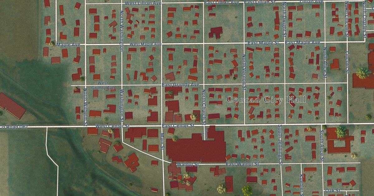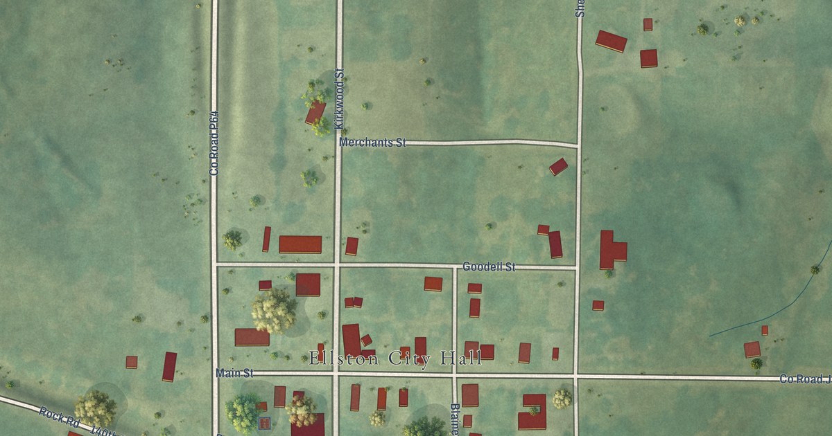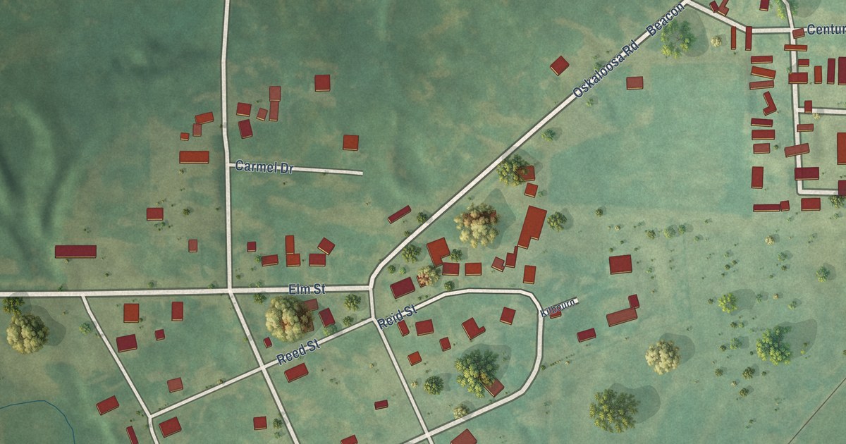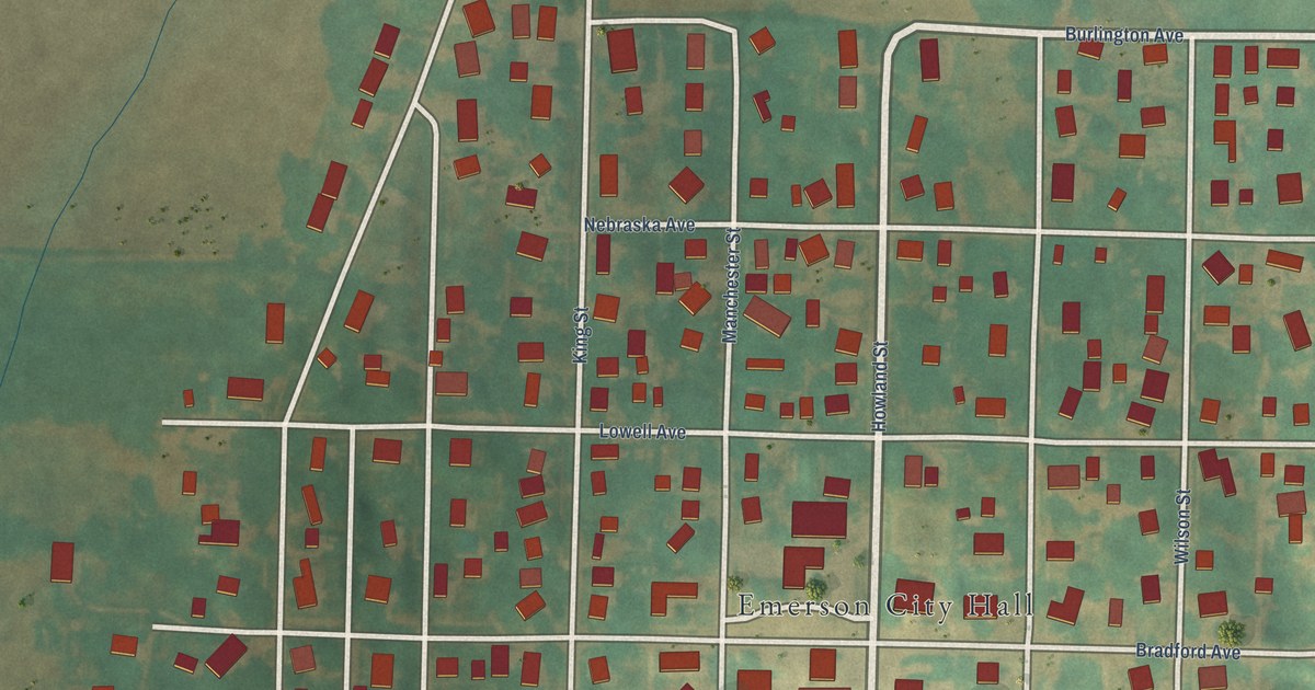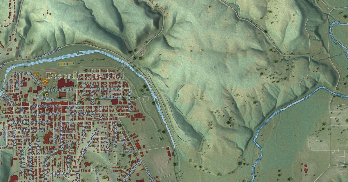
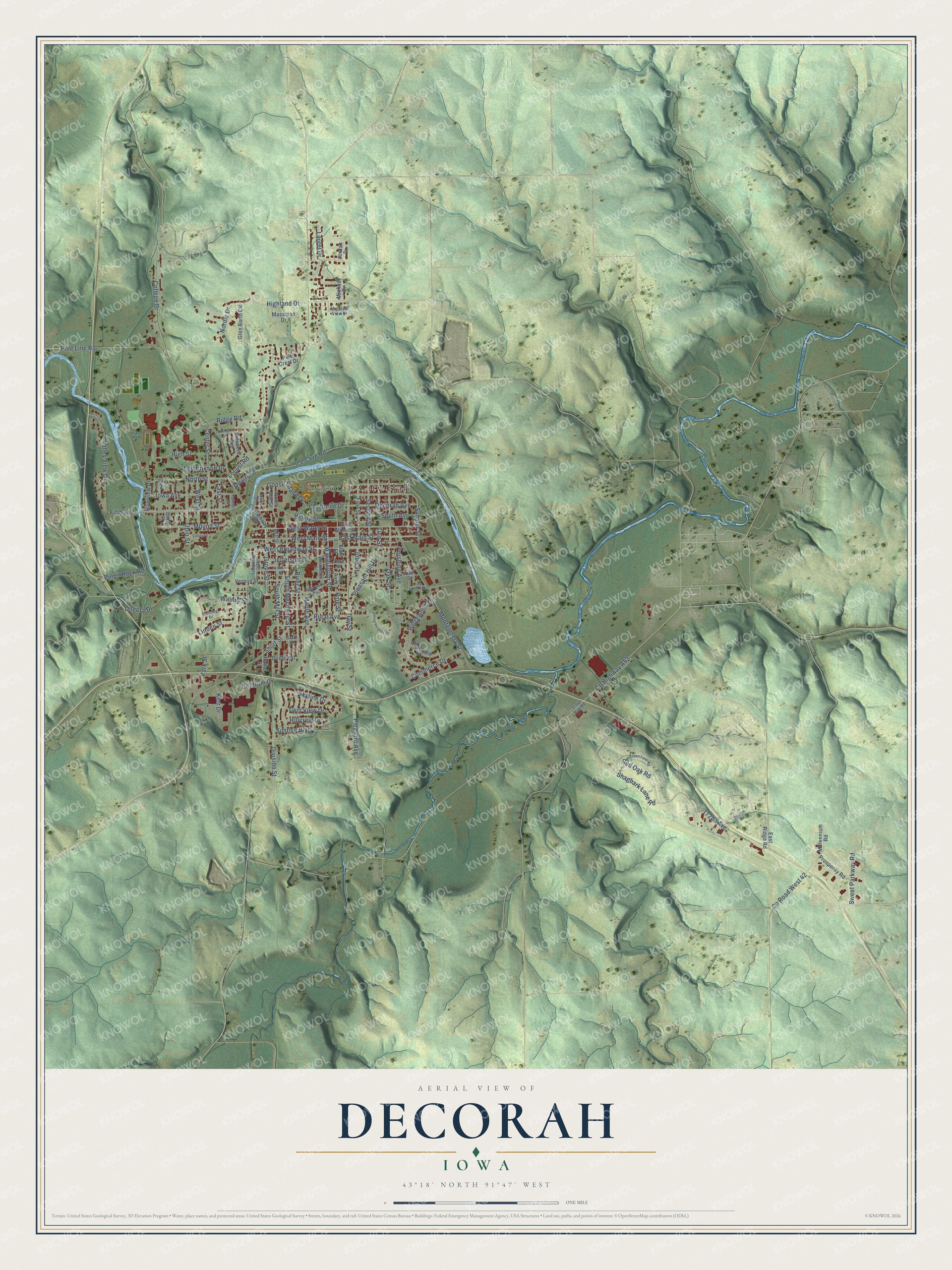
This beautifully detailed map of Decorah, Iowa was created in 2026 using aerial imagery combined with modern topographical, census, street and landmark data. It's a modern aerial view of Decorah in Winneshiek County, Iowa, that combines modern data with a vintage aesthetic. The roads feature printed names, and if you look closely you can find your exact house accurately shown in its correct location.
Explore an aerial view of Decorah, Iowa
On this map you'll find Decorah City Hall, Phelps Park, Pleasant Avenue, Grove Street, Washington Street, Pleasant Hill Drive, Linn Street, West Broadway Street, Jefferson Street, Hillcrest Drive, Sumner Street, Second Street, and more. Each red shape is a building, so zoom in on the preview and look for yours.
Decorah is a city in Winneshiek County. The Census Bureau counted 7,587 people here in 2020. The map prints the town name in its title panel, with the coordinates below it.
Take a closer look at the Decorah map
Names on this map
These names are printed on this map.
Places: Decorah City Hall and Phelps Park.
Streets and roads: Pleasant Avenue, Grove Street, Washington Street, Pleasant Hill Drive, Linn Street, West Broadway Street, Jefferson Street, Hillcrest Drive, Sumner Street, Second Street, Fifth Avenue, Shagbark Lane Road.
More street names, A to Z
172nd Avenue, Aspen Lane Road, Baker Avenue, Bruening Drive, Center Street, Centrum Drive, Claiborne Drive, Clearview Drive, College Drive, Commerce Drive, County Highway A52, County Highway W38, County Road West 42, Crescent Avenue, Crushing Heights Drive, Davdon Road, Day Street, Decorah Avenue, Division Street, Dudley Street, East Main Street, East Pearl Street, East Ridge Road, East Street, East Water Street, Fair Street, Fifth Street, First Street, Franklin Street, Glen Barth Circle, Goose Island Drive, Grant Street, Heivly Street, Highland Drive, High Street, Hilltop Drive, Ice Cave Road, Iowa Avenue, John Street, Jordan Drive, Julian Street, Kerr Drive, Laurel Drive, Leif Erikson Drive, Linden Street, Lloyd Street, Locust Road, Maple Avenue, Massman Drive, Meadow View Drive, Michael Drive, Millennium Road, Mill Street, Montgomery Street, Mound Street, Nordic Drive, North Mill Street, North Street, Oak Street, Ohio Street, Oneota Drive, Paine Street, Painter Street, Park Street, Pershing Avenue, Pine Crest Drive, Pine Street, Pole Line Road, Prosperity Road, Pulpit Rock Road, Quarry Street, Railroad Avenue, Red Oak Road, Ridge Road, Ridgewood Drive, River Street, Riverview Drive, Rural Avenue, Short Street, Skyline Drive, South Avenue, South Mechanic Street, South Mill Street, Spring Street, State Street, Sunrise Boulevard, Sweet Parkway Road, Trout Run Road, Twin View Drive, Upper Broadway, Valley Drive, Valley View Drive, Vernon Street, View Street, Walnut Street, West Main Street, West Street, West Water Street, Winnebago Street.
Created by KNOWOL in 2026. The buildings are small red shapes, the roads carry their printed names, and shaded relief shows the shape of the land. The title panel reads "AERIAL VIEW OF DECORAH IOWA" with 43°18' NORTH 91°47' WEST.
Hang it in the hallway, the office or the cabin, or give it to someone who left Decorah and still calls it home. Open the preview and look for a street you know. See sizes and frames for the Decorah map.