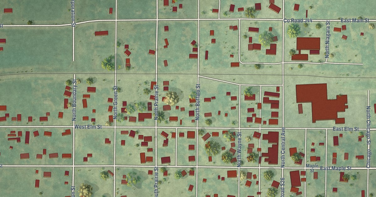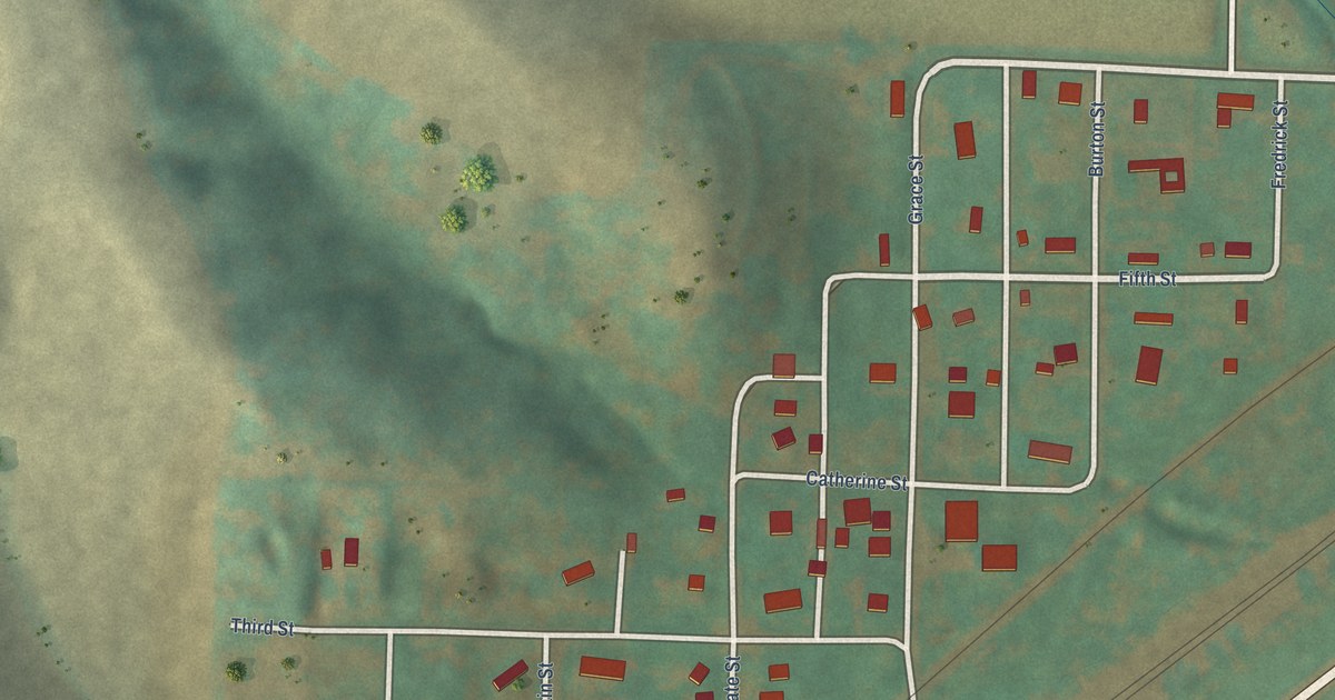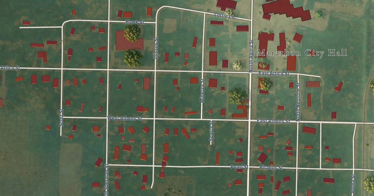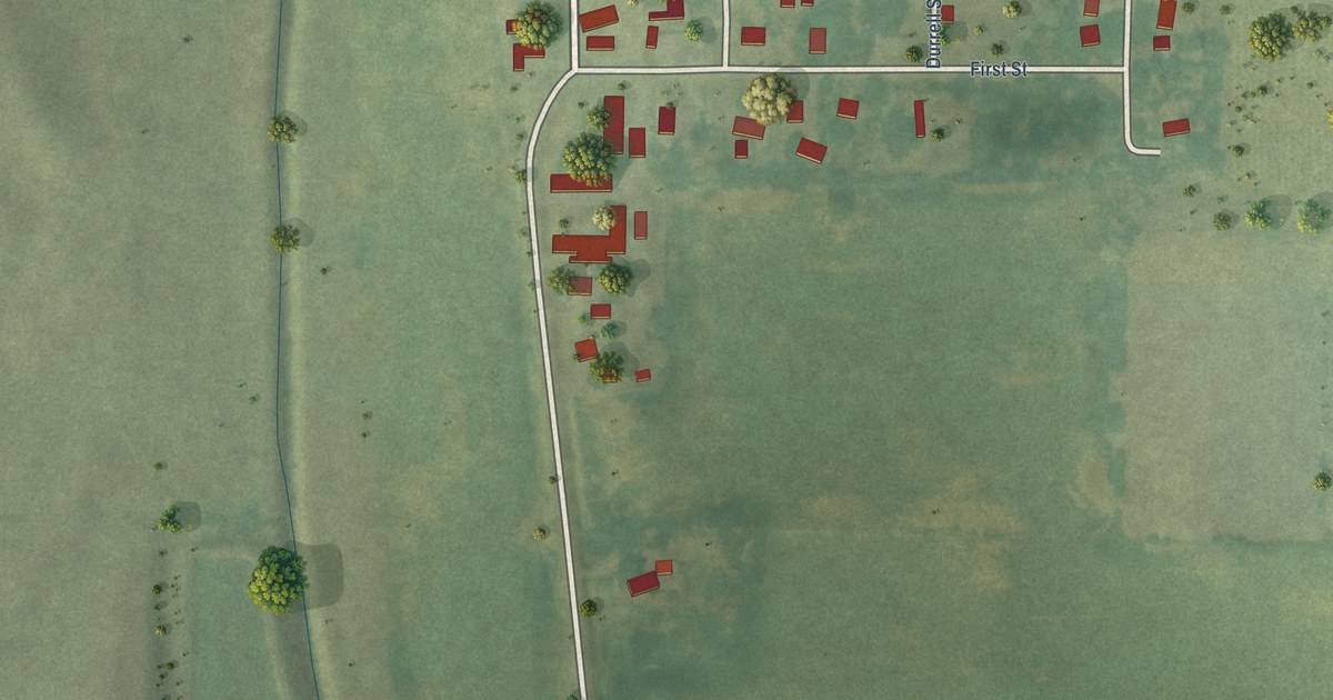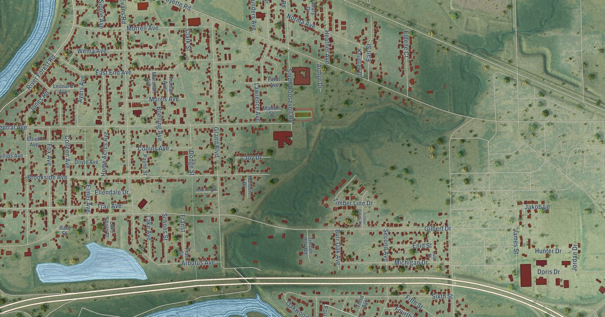
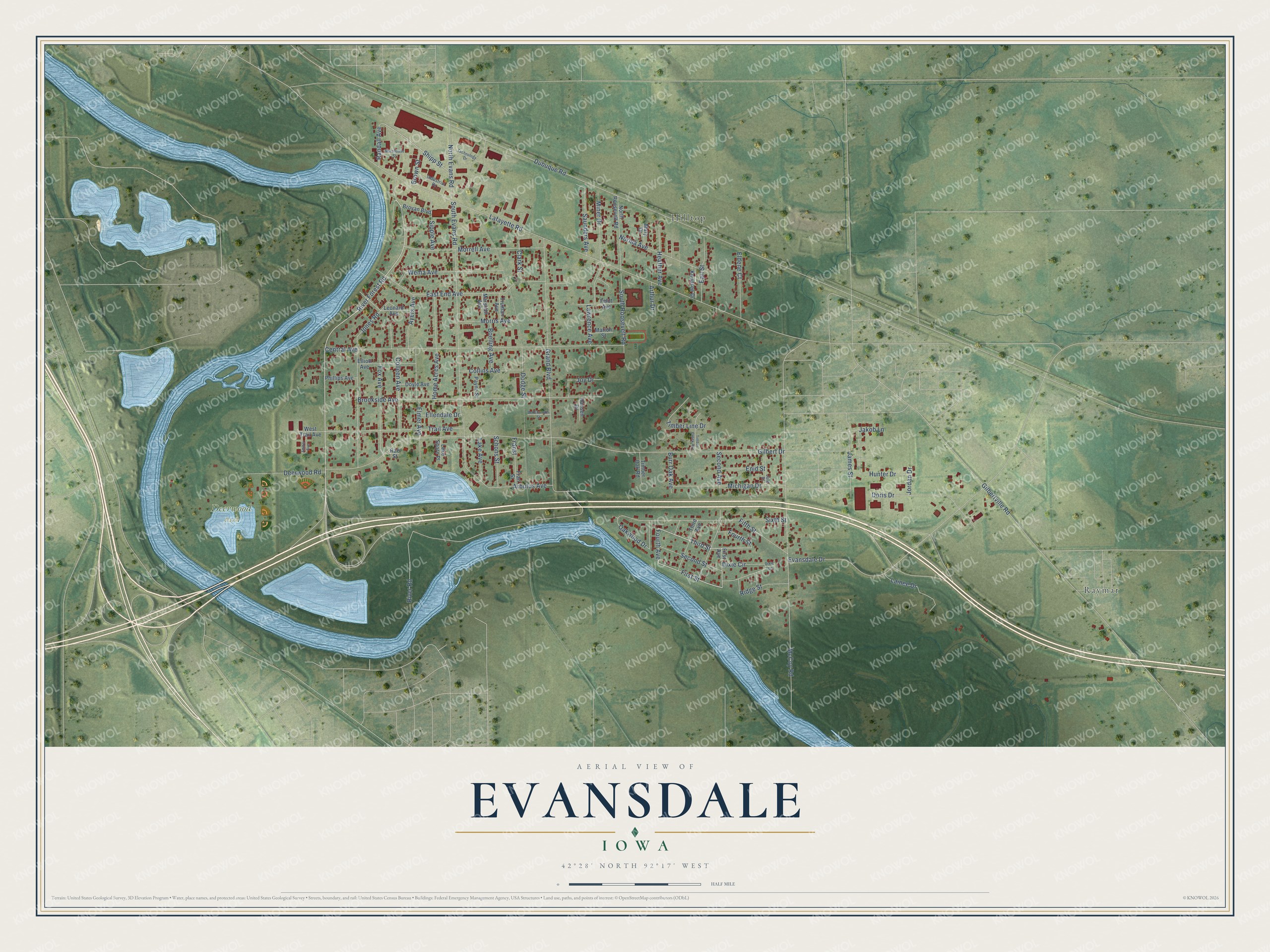
This beautifully detailed map of Evansdale, Iowa was created in 2026 using aerial imagery combined with modern topographical, census, street and landmark data. It's a modern aerial view of Evansdale in Black Hawk County, Iowa, that combines modern data with a vintage aesthetic. The roads feature printed names, and if you look closely you can find your exact house accurately shown in its correct location.
Explore an aerial view of Evansdale, Iowa
On this map you'll find Deerwood Park, Hilltop, Raymar, River Forest Road, Third Street, Fourth Avenue, First Street, Shipp Street, Dodge Street, Dubuque Road, Lafayette Road, Gilbert Drive, and more. Each red shape is a building, so zoom in on the preview and look for yours.
Evansdale is a city in Black Hawk County. The Census Bureau counted 4,561 people here in 2020. The map prints the town name in its title panel, with the coordinates below it.
Take a closer look at the Evansdale map
Names on this map
These names are printed on this map.
Places: Deerwood Park, Hilltop and Raymar.
Streets and roads: River Forest Road, Third Street, Fourth Avenue, First Street, Shipp Street, Dodge Street, Dubuque Road, Lafayette Road, Gilbert Drive, McCoy Road, Gilbertville Road, Central Avenue.
More street names, A to Z
Amber Avenue, Arbutus Avenue, Arthur Drive, Ayers Avenue, Bellefontain Street, Boelling Avenue, Brookside Avenue, Brovan Boulevard, Brown Street, Burr Oak Avenue, Clark Street, Colleen Avenue, Collins Avenue, Deerwood Road, Dixie Circle, Dixie Court, Doris Drive, Doyle Avenue, Earl Street, East End Avenue, Eldene Court, Ellendale Drive, Elliott Avenue, Elmer Avenue, Enid Street, Evansdale Drive, Feldt Avenue, Fifth Street, First Avenue, Fourth Street, Fox Avenue, Franst, Fran Street, Grand Boulevard, Hansen Drive, Heather Avenue, Home Acres Avenue, Hunter Drive, Industrial Drive, Jakob Lane, James Street, Jones Road, Jordan Drive, Joy Drive, Jule Street, Knudsen Drive, Lainee Drive, Lake Avenue, Lake Shore Place, Lawrence Avenue, Leonard Avenue, Marion Street, Marshall Avenue, Mary Drive, Michigan Drive, Miner Drive, Morehouse Street, Morrell Avenue, Morris Avenue, Norma Avenue, North Evans Road, North Roosevelt Road, Oakwood Drive, Payne Street, Phillips Avenue, Rae Street, Randall Avenue, Ridge Street, River Road, Saunders Avenue, Schons Street, Second Avenue, Second Street, Sipple Avenue, Sixth Street, South Evans Road, South Roosevelt Road, Technology Drive, Third Avenue, Timber Creek Avenue, Timber Line Drive, Timber Oak Road, Trail Avenue, Truman Avenue, Wema Avenue, West Trail Avenue.
Created by KNOWOL in 2026. The buildings are small red shapes, the roads carry their printed names, and shaded relief shows the shape of the land. The title panel reads "AERIAL VIEW OF EVANSDALE IOWA" with 42°28' NORTH 92°17' WEST.
It suits a den, a classroom or a front hall, and it makes a gift for anyone with Evansdale roots. Open the preview and find the block you know. See sizes and frames for the Evansdale map.