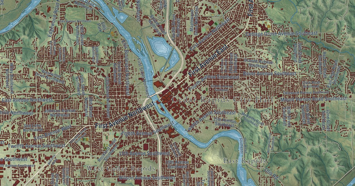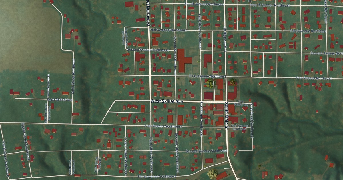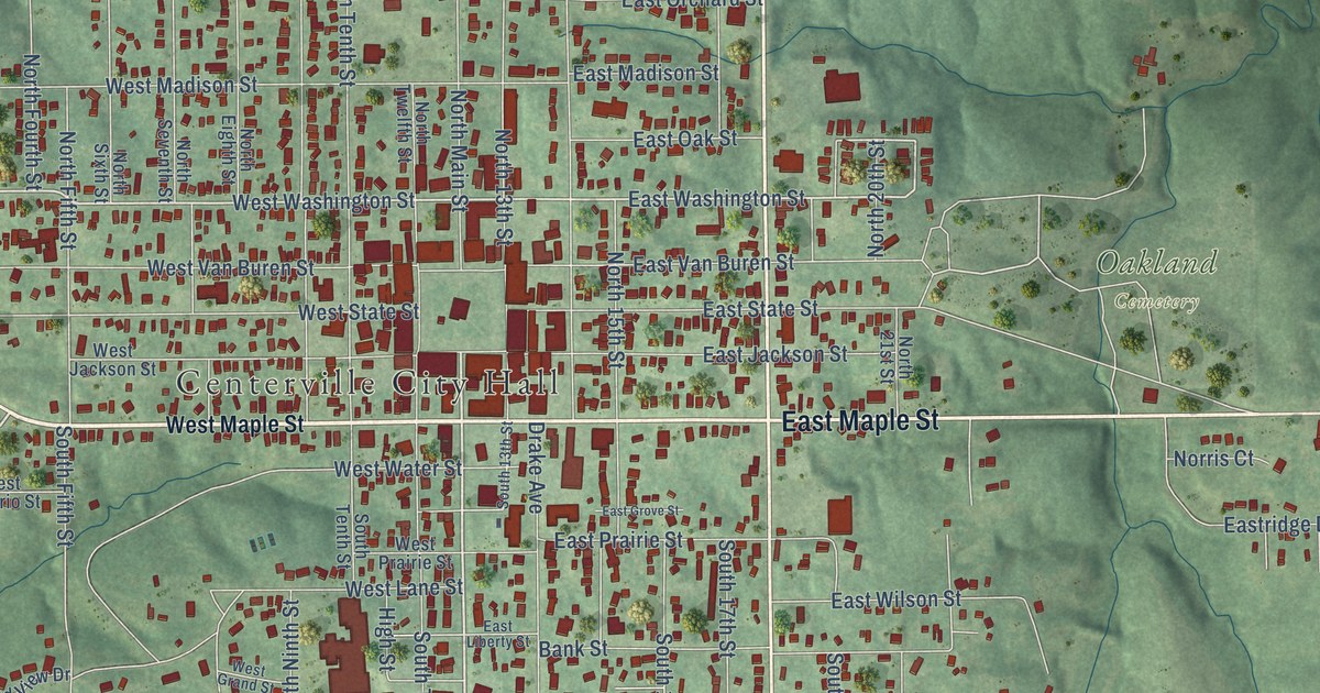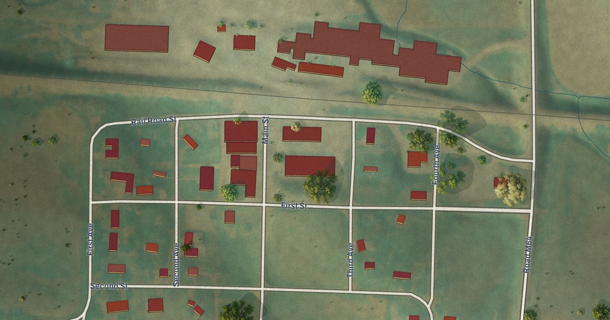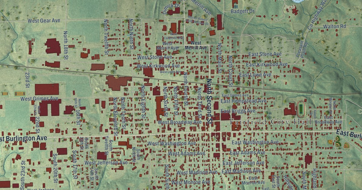
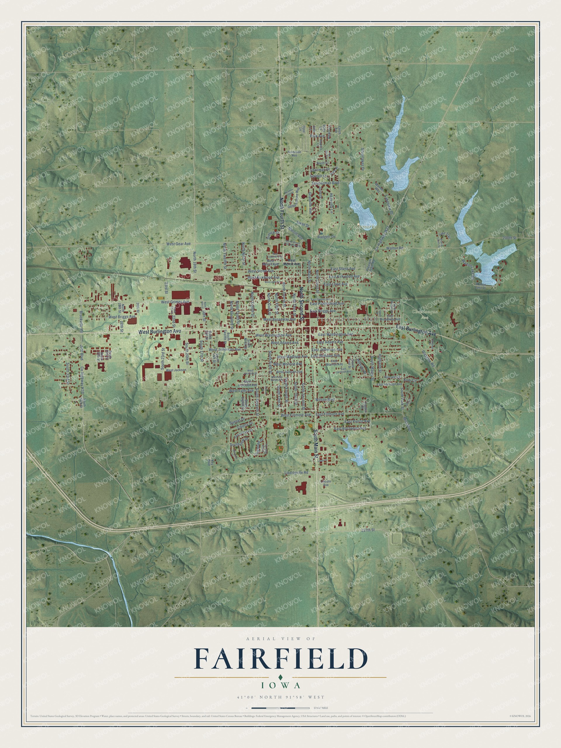
This beautifully detailed map of Fairfield, Iowa was created in 2026 using aerial imagery combined with modern topographical, census, street and landmark data. It's a modern aerial view of Fairfield in Jefferson County, Iowa, that combines modern data with a vintage aesthetic. The roads feature printed names, and if you look closely you can find your exact house accurately shown in its correct location.
Explore an aerial view of Fairfield, Iowa
On this map you'll find Fairfield City Hall, Chautauqua Park, Waterworks Park, West Burlington Avenue, South Main Street, East Burlington Avenue, North Fourth Street, North Second Street, East Stone Avenue, West Stone Avenue, South Seventh Street, Liberty Drive, and more. Each red shape is a building, so zoom in on the preview and look for yours.
Fairfield is a city in Jefferson County. The Census Bureau counted 9,416 people here in 2020. The map prints the town name in its title panel, with the coordinates below it.
Take a closer look at the Fairfield map
Names on this map
These names are printed on this map.
Places: Fairfield City Hall, Chautauqua Park and Waterworks Park.
Streets and roads: West Burlington Avenue, South Main Street, East Burlington Avenue, North Fourth Street, North Second Street, East Stone Avenue, West Stone Avenue, South Seventh Street, Liberty Drive, West Jefferson Avenue, East Fillmore Avenue, West Gear Avenue.
More street names, A to Z
16th Street, 22nd Street, 23rd Street, 26th Street, 28th Street, 200th Street, 227th Street, Badgett Drive, Brookville Road, Cardinal Drive, Chroman Drive, County Highway H33, County Highway W21, Dimick Drive, Doctor Robert Keith Wallace Drive, Dogwood Drive, East Adams Avenue, East Briggs Avenue, East Broadway Avenue, East Buchanan Avenue, East Grimes Avenue, East Harrison Avenue, East Hempstead Avenue, East Jackson Avenue, East Jefferson Avenue, East Kirkwood Avenue, East Lowe Avenue, East Madison Avenue, East Monroe Avenue, East Pierce Avenue, East Washington Avenue, Fairview Drive, Forest Drive, Full Moon Lane, Glasgow Road, Glenview Circle, Golden Dome Way, Golden Lane, Grand Park Drive, Granville Avenue, Guild Drive, Heavenly Lane, Highland Street, Hillcrest Drive, Hillside Drive, Jade Lane, Jute Boulevard, Key Boulevard, Kodi Circle, Lake Trail, Lakeview Drive, Larch Avenue, Libertyville Road, Lincoln Avenue, Linden Drive, Lone Oak Circle, Louden Drive, Meadow Lark Lane, Merrill Avenue, Mint Boulevard, North 16th Street, North 18th Street, North 22nd Street, North 28th Street, North Court, North Court Street, North Eighth Street, North Eleventh Street, North Fifth Street, North Main Street, North Morgan Street, North Ninth Street, North Sixth Street, North Tenth Street, North Third Street, North Twelfth Street, Opal Lane, Park Avenue, Park Place, Pearl Lane, Pleasant Plain Road, Prairie Lakes Drive, Primrose Avenue, Ruby Lane, Sapphire Lane, Silverlakes Drive, South 14th Street, South 15th Street, South 17th Street, South 20th Street, South 23rd Street, South 29th Street, South 30th Street, South 32nd Street, South 33rd Street, South East Street, South Eighth Street, South Fifth Street, South Fourth Street, South Maple Street, South Ninth Street, South Park Street, South Second Street, South Sixth Street, South Third Street, South Twelfth Street, Southview Drive, Sunset Drive, Swan Street, Walton Lake Drive, Walton Lake Road, Walton Road, West Adams Avenue, West Briggs Avenue, West Broadway Avenue, West Carpenter Avenue, West Fillmore Avenue, West Grimes Avenue, West Harrison Avenue, West Jackson, West Jackson Avenue, West Jackson Street, West Kirkwood Avenue, West Lowe Avenue, West Madison Avenue, West Merrill Avenue, West Monroe Avenue, West Tyler Avenue, West Van Buren Avenue, West Washington Avenue, Wilson Boulevard, Wonder Way, Woodside Circle, Zimmerman Boulevard.
Created by KNOWOL in 2026. The buildings are small red shapes, the roads carry their printed names, and shaded relief shows the shape of the land. The title panel reads "AERIAL VIEW OF FAIRFIELD IOWA" with 41°00' NORTH 91°58' WEST.
It looks right in a kitchen, an office or a den, and it's a gift for anyone who grew up in Fairfield or moved away. Open the preview and find your street. See sizes and frames for the Fairfield map.