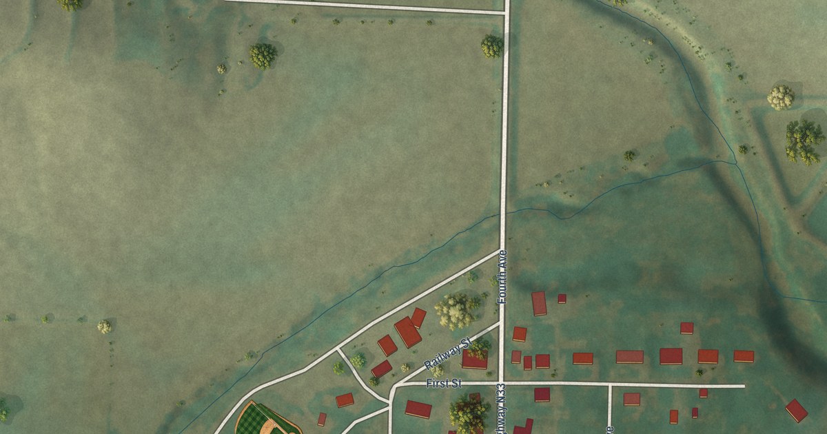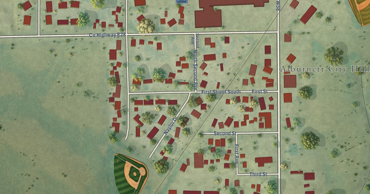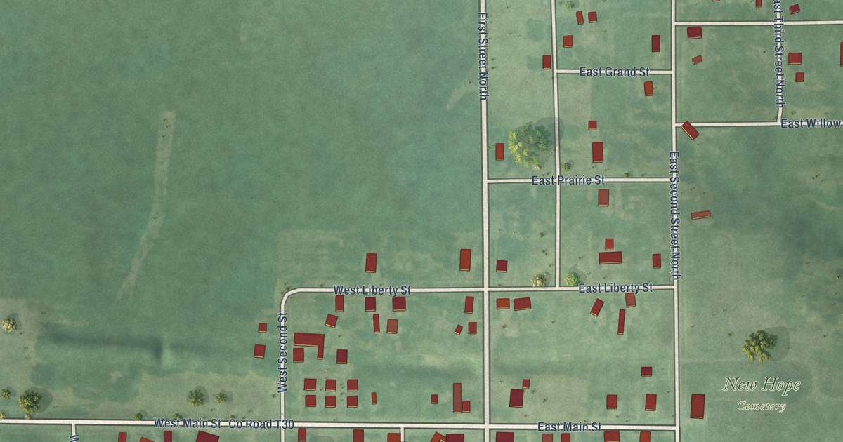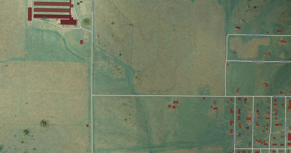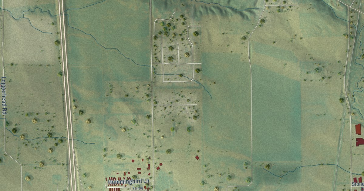
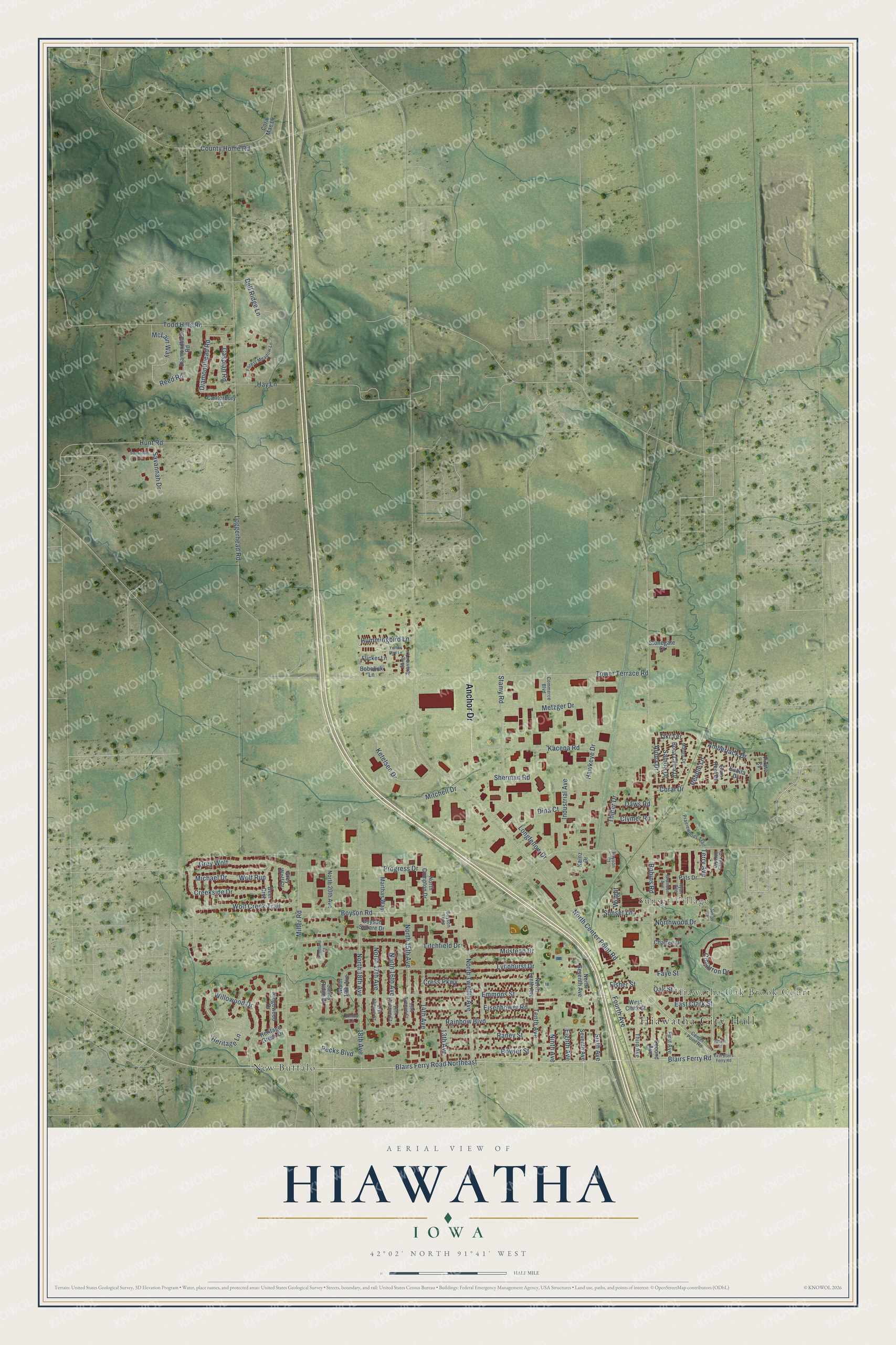
This beautifully detailed map of Hiawatha, Iowa was created in 2026 using aerial imagery combined with modern topographical, census, street and landmark data. It's a modern aerial view of Hiawatha in Linn County, Iowa, that combines modern data with a vintage aesthetic. The roads feature printed names, and if you look closely you can find your exact house accurately shown in its correct location.
Explore an aerial view of Hiawatha, Iowa
On this map you'll find Hiawatha City Hall, Hiawatha Oak Brook Court, Sunset Village, New Buffalo, Anchor Drive, Blairs Ferry Road, Blairs Ferry Road Northeast, Terry Avenue, Willowood Drive, Tenth Avenue, Reed Road, McLain Way, and more. Each red shape is a building, so zoom in on the preview and look for yours.
Hiawatha is a city in Linn County. The Census Bureau counted 7,183 people here in 2020. The map prints the town name in its title panel, with the coordinates below it.
Take a closer look at the Hiawatha map
Names on this map
These names are printed on this map.
Places: Hiawatha City Hall, Hiawatha Oak Brook Court, Sunset Village and New Buffalo.
Streets and roads: Anchor Drive, Blairs Ferry Road, Blairs Ferry Road Northeast, Terry Avenue, Willowood Drive, Tenth Avenue, Reed Road, McLain Way, Amberjack Drive, Heritage Lane, North Center Point Road, Boyson Road.
More street names, A to Z
13th Avenue, 14th Avenue, 15th Avenue Court, 16th Avenue Court, 17th Avenue Court, 18th Avenue, Aloha Drive, Blue Reef Drive, Bobolink Lane, Boca Chica Drive, Bonita Drive, Bowler Street, Boyson Court, Boyson Loop, Boyson Square Drive, Brandon Avenue, Canterbury Lane, Caspian Road, Center Point Road, Chaffee Drive, Cimarron Drive, Clymer Road, Commerce Boulevard, Coral Drive, Cora Mae Lane, County Home Road, Creekside Drive, Cress Parkway, Daws Road, Deer Crst, Dell Ridge Lane, Diamondback Road, Diamondhead Road, Dina Court, Dry Run Creek Court, East Blairs Ferry Road, East Clark Street, Eighth Avenue, Eisenhower Road, Emmons Street, Emmy Lane, Faye Street, First Avenue, Fisher Street, Flicker Lane, Forest Meadow Lane, Fourth Avenue, Grey Wolf, Grey Wolf Court, Hawkeye Drive, Hay Lane, Heritage Green Drive, Hummingbird Lane, Hunt Road, Industrial Avenue, Kacena Road, Kainz Drive, Ketelsen Drive, Litchfield Drive, Loggerhead Road, Longfellow Drive, Lyndhurst Drive, Mango Drive, Marthas Way, Metzger Drive, Michael Drive, Miller Road, Milstead Drive, Mitchell Drive, Ninth Avenue, Nixon Drive, North 15th Avenue, North 16th Avenue, North 17th Avenue, North 18th Avenue, North 19th Avenue, North 20th Avenue, North Compton Drive, North Seventh Avenue, North Tenth Avenue, North Twelfth Avenue, Northwood Drive, Oak Street, Pats Drive, Pebble Lane, Pecks Boulevard, Pirate Cv, Prairiewoods Trail, Progress Drive, Rainbow Boulevard, Raney Street, Ridgewood Drive, Robins Road, Ryan Avenue, Samoa Drive, Sandy Ridge Court, Savannah Court, Savannah Drive, Second Avenue, Seventh Avenue, Sherman Road, Sixth Avenue, Song Sparrow Lane, Stamy Road, Stonegate Court, Sunset Lane, Thiher Drive, Third Avenue, Tiki Terrace, Todd Hills Road, Tower Terrace Road, Tucker Street, West Clark Street, Wolf Creek Trail, Wolf Run, Woodland Court, Wright, Yellow Bird Lane.
Created by KNOWOL in 2026. The buildings are small red shapes, the roads carry their printed names, and shaded relief shows the shape of the land. The title panel reads "AERIAL VIEW OF HIAWATHA IOWA" with 42°02' NORTH 91°41' WEST.
It suits a den, a classroom or a front hall, and it makes a gift for anyone with Hiawatha roots. Open the preview and find the block you know. See sizes and frames for the Hiawatha map.