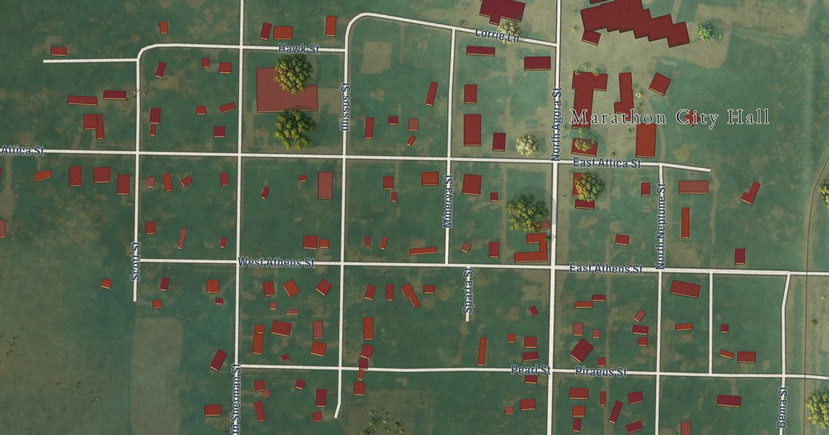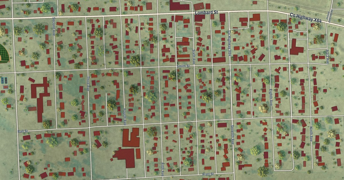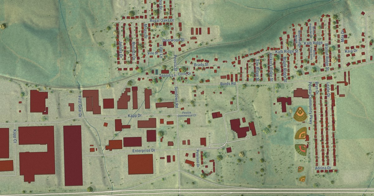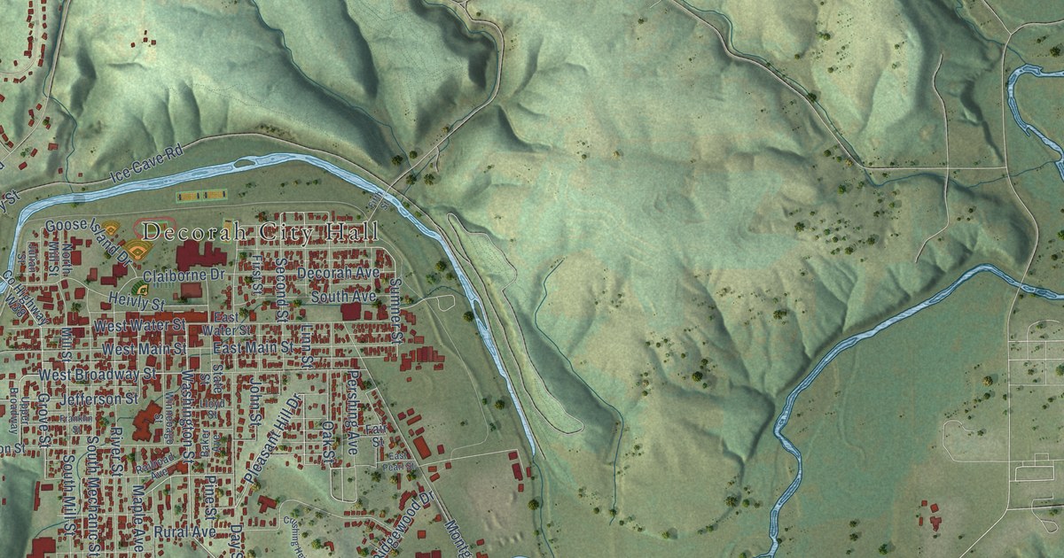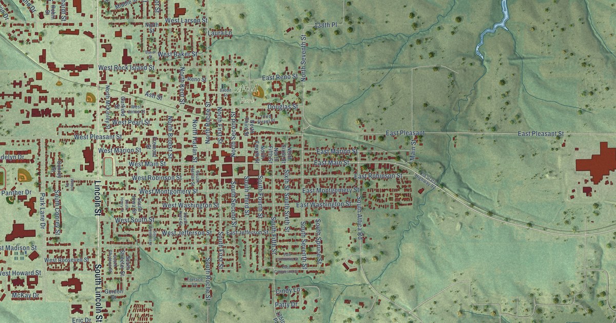
This beautifully detailed map of Knoxville, Iowa was created in 2026 using aerial imagery combined with modern topographical, census, street and landmark data. It’s a one-of-a-kind view of Knoxville that combines accurate data with a vintage aesthetic. The map shows every building in its true location, many of the roads carry their names, and the shaded topographic relief shows the shape of the land.
Explore an aerial view of Knoxville, Iowa
On the map you’ll find Auld Park, along with Lincoln Street, North Lincoln Street, South Lincoln Street, East Main Street, South Attica Road, Mc Kimber Drive, West Madison Street, South Godfrey Lane, South First Street, West Jefferson Street, West Main Street, and more. If you look closely you can even find your house accurately drawn in its correct location. Zoom in on the preview to look for yours.
Did you know this piece of Knoxville, Iowa history?
From the History of Marion County: "In the summer of 1858 a frame church was erected on the corner now occupied by the Knoxville Public Library and was used as a home for the congregation until 1884, when the present brick edifice just across Third Street from the old church was erected. On September 27, 1858, a Sunday school was organized in connection with this church, with Jacob Elliott as the first superintendent."
Take a closer look at the Knoxville map
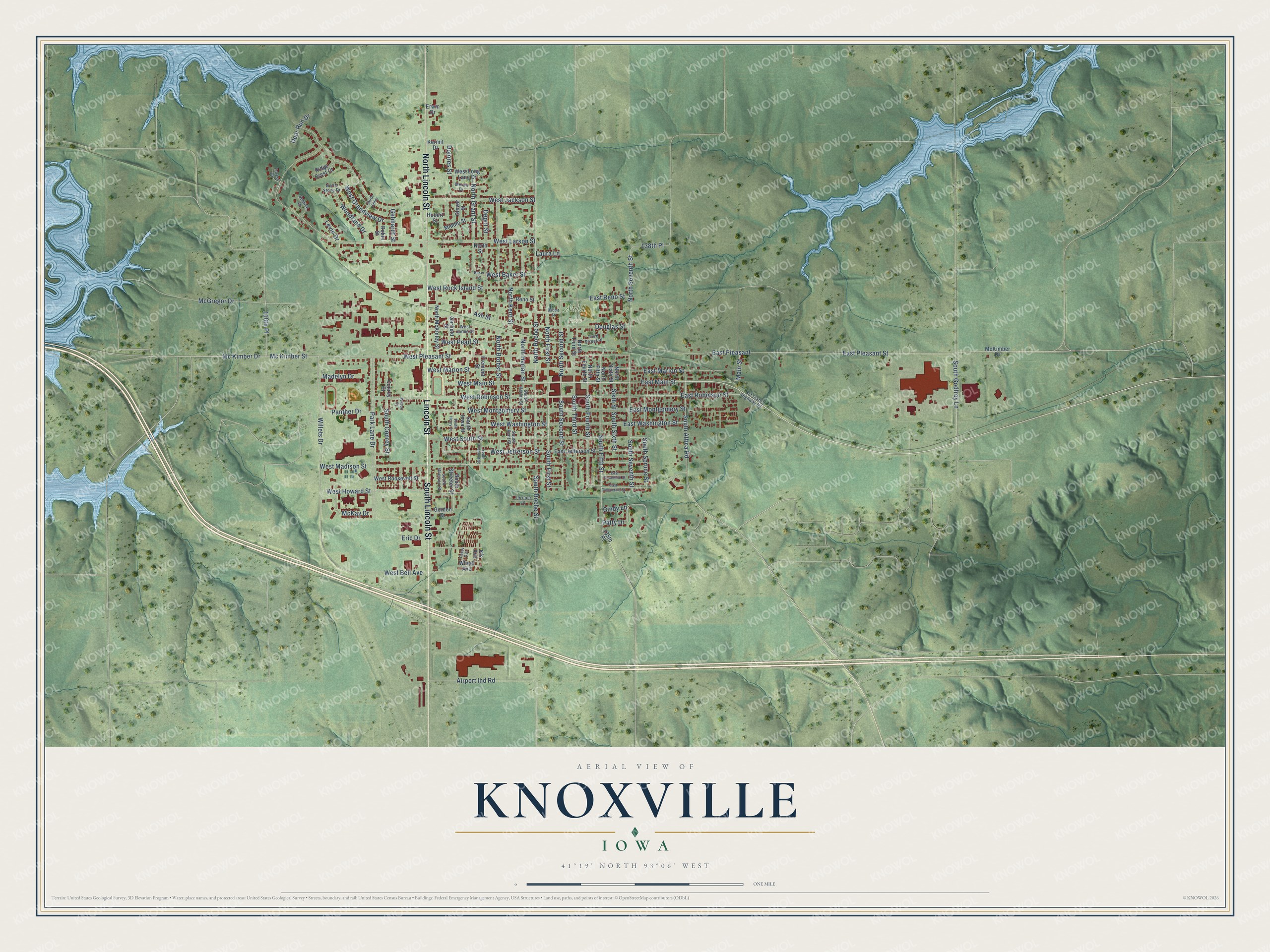
Street and place names on the Knoxville, Iowa map
These names are printed on the map of Knoxville, Iowa.
Places: Auld Park.
Streets and roads: Lincoln Street, North Lincoln Street, South Lincoln Street, East Main Street, South Attica Road, Mc Kimber Drive, West Madison Street, South Godfrey Lane, South First Street, West Jefferson Street, West Main Street, West Montgomery Street.
More street names, A to Z
118th Place, 135th Place, 138th Place, Airport Ind Road, Ash Street, Babbit Street, Baker Street, Casey Avenue, Cindy Lane, Conrey Street, Deer Run Drive, Depot Street, Dolores Street, Douglas Street, East Competine Street, East Cronkhite Street, East Jefferson Street, East Marion Street, East Montgomery Street, East Pleasant, East Pleasant Street, East Reno Street, East Robinson Street, East Washington Street, Eric Drive, Erwin Drive, Forest Drive, Fremont Street, Garfield Street, Gebhardt Street, Glover Street, Gordon Drive, Hobert Street, Kermit Drive, Kfc Avenue, Laura Lane, Levin Drive, Madelyn Drive, Main Street, McGregor Drive, McKay Drive, McKimber Drive, Mc Kimber Street, Merna Drive, Middle Street, North Brobst Street, North Fifth Street, North First Street, North Fourth Street, North Grant Street, North Harlan Street, North Kent Street, North McKinley Street, North Roche Street, North Second Street, North Seventh Street, North Sixth Street, North Stone Drive, North Street, North Third Street, North Valley, Old State Highway 92, Panther Drive, Park Lane Drive, Patty Drive, Reno Street, Ridge Crest Court, Robin Street, Sixth Street, South Conrey Street, South Fifth Street, South Fourth Street, South Fremont Street, South Gholson Street, South Harlan Street, South Henry Street, South Iowa Street, South Kent Street, South Roche Street, South Second Street, South Seventh Street, South Sixth Street, South Spruce Street, South Streeter Street, South Third Street, Sunrise Drive, Terrace Lane, Third Street Place, West Baker Street, West Bell Avenue, West Grandview Drive, West Howard Street, West Jackson Street, West Jones Street, West Larson Street, West Long Lane Drive, West Marion Street, West Pearl Street, West Pleasant Street, West Robinson Street, West Rock Island Street, West Roosevelt Street, West South Street, West Washington Street, Wheel Avenue, Willets Drive, Wilson Street, Woodland Drive.
See the Knoxville, Iowa map on a wall
The Knoxville map as an 18 x 24 inch print in a black frame.

This beautifully detailed map of Knoxville makes an attractive addition to your office, library, or den, and it can even be used to teach children the geography and history of the area. It also makes a great gift for someone who left Knoxville and still calls it home. When you’re done exploring, click here to get your copy of the Knoxville map.