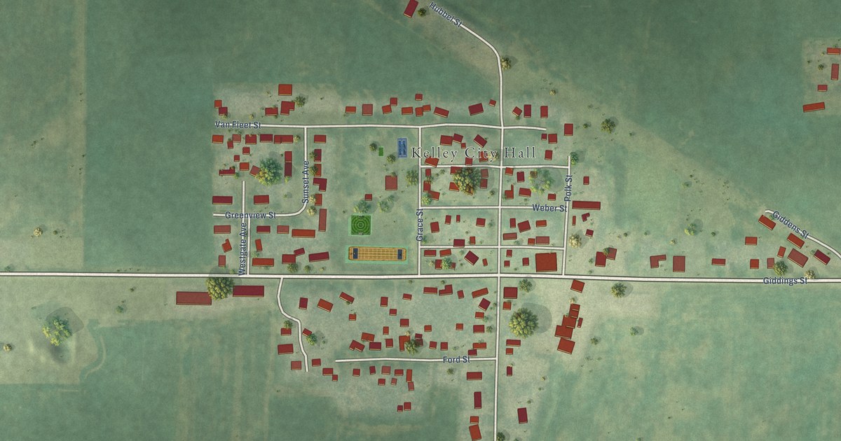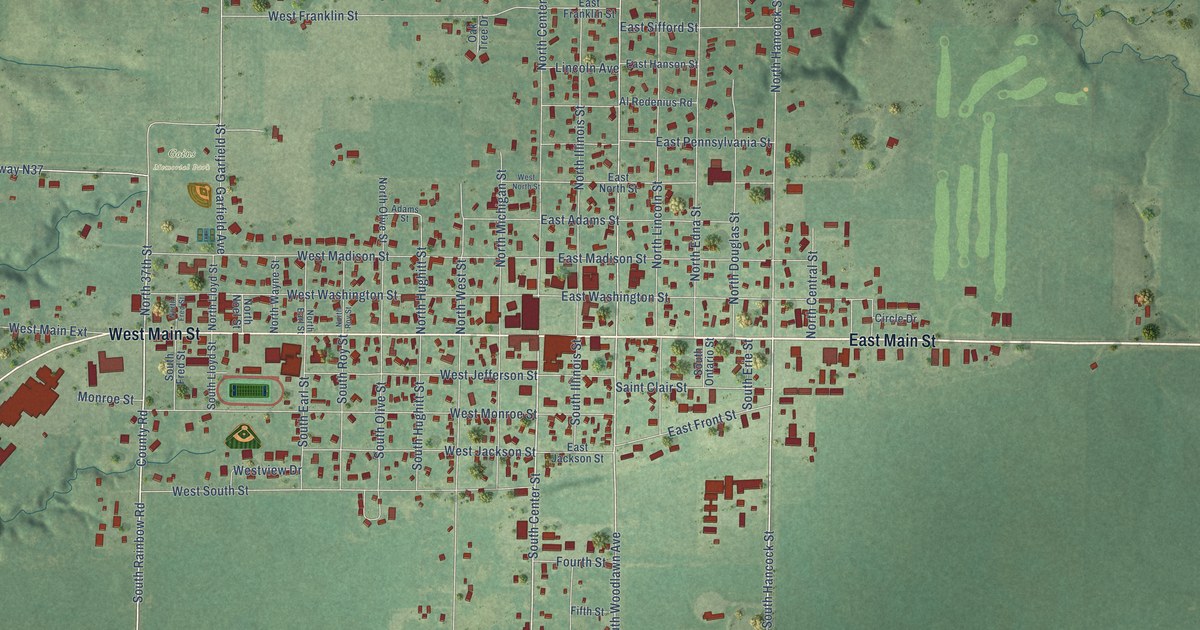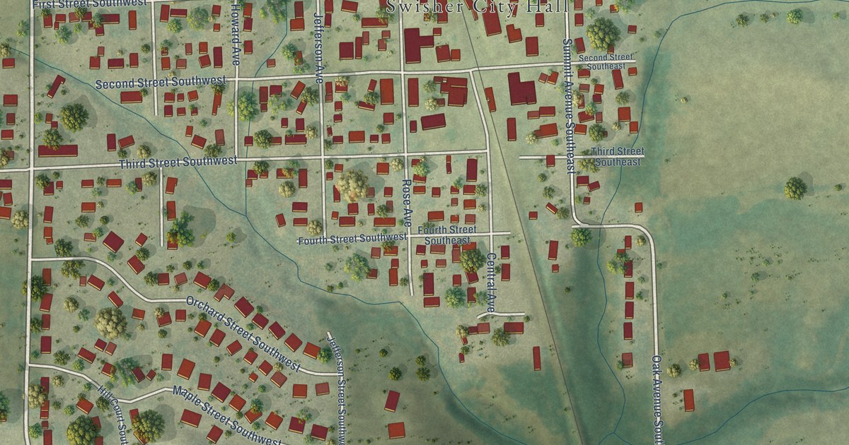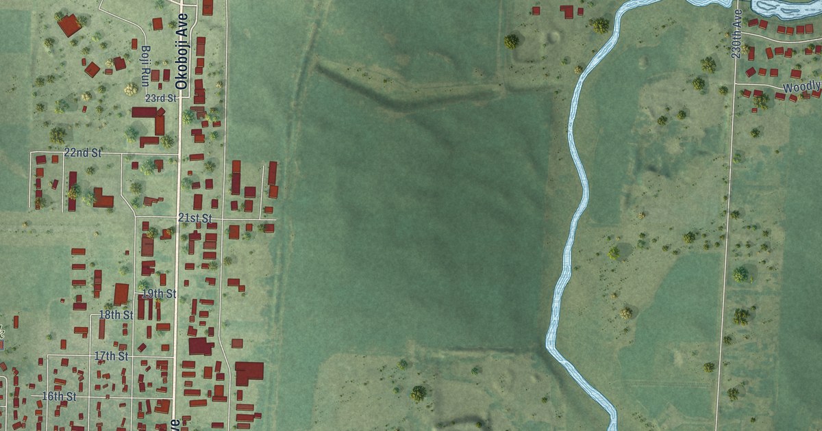
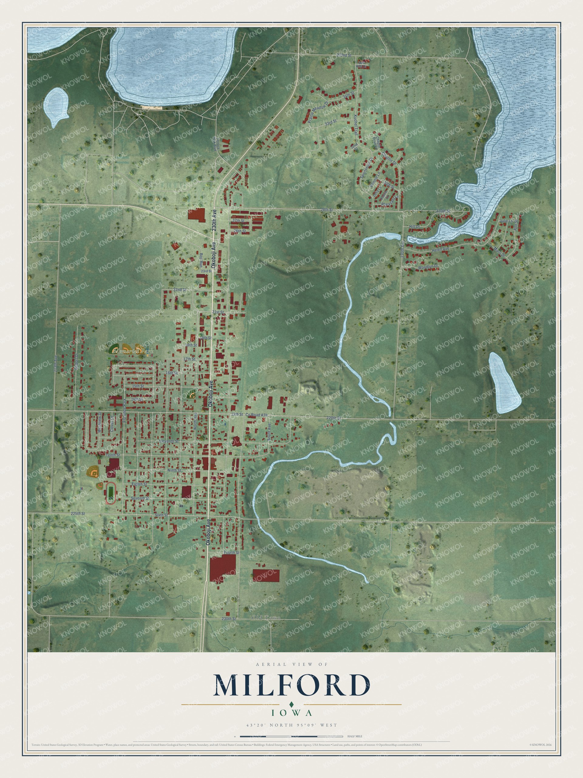
This beautifully detailed map of Milford, Iowa was created in 2026 using aerial imagery combined with modern topographical, census, street and landmark data. It's a modern aerial view of Milford in Dickinson County, Iowa, that combines modern data with a vintage aesthetic. The roads feature printed names, and if you look closely you can find your exact house accurately shown in its correct location.
Explore an aerial view of Milford, Iowa
On this map you'll find Memorial Park, Old Town, Okoboji Avenue, 230th Avenue, 28th Street, 17th Street, Sportsman Drive, Prairie Meadow Drive, 220th Street, Co Road A34, 210th Street, 13th Street, and more. Each red shape is a building, so zoom in on the preview and look for yours.
Milford is a city in Dickinson County. The Census Bureau counted 3,321 people here in 2020. The map prints the town name in its title panel, with the coordinates below it.
Take a closer look at the Milford map
Names on this map
These names are printed on this map.
Places: Memorial Park, Old Town and Florence Park.
Streets and roads: Okoboji Avenue, 230th Avenue, 28th Street, 17th Street, Sportsman Drive, Prairie Meadow Drive, 220th Street, County Road A34, 210th Street, 13th Street, North Avenue, 225th Street.
More street names, A to Z
14th Street, 15th Street, 16th Street, 18th Street, 19th Street, 21st Street, 22nd Street, 23rd Street, 26th Street, 27th Street, 30th Street, 32nd Court, 33rd Street, 34th Street, 202nd Street, 213th Avenue, 230th Street, Airport Drive, Ann Street, Boji Run, Bonnie Lane, Chaplin Drive, Chaplin Drive Court, Clover Lane, Delia Lane, Eighth Street, Eleventh Street, Fourth Street, Golf Villa Drive, Helen Avenue, Hill Drive, Julie Lane, Kuchel Trail, Marti Drive, Ninth Street, Pheasant Lane, Prairie Lane, Seventh Street, Sixth Street, South Avenue, Tenth Street, Terrace Park Boulevard, Westview Drive, Woodlyn Drive.
Created by KNOWOL in 2026. The buildings are small red shapes, the roads carry their printed names, and shaded relief shows the shape of the land. The title panel reads "AERIAL VIEW OF MILFORD IOWA" with 43°20' NORTH 95°09' WEST.
It looks right in a kitchen, an office or a den, and it's a gift for anyone who grew up in Milford or moved away. Open the preview and find your street. See sizes and frames for the Milford map.