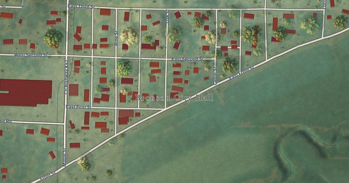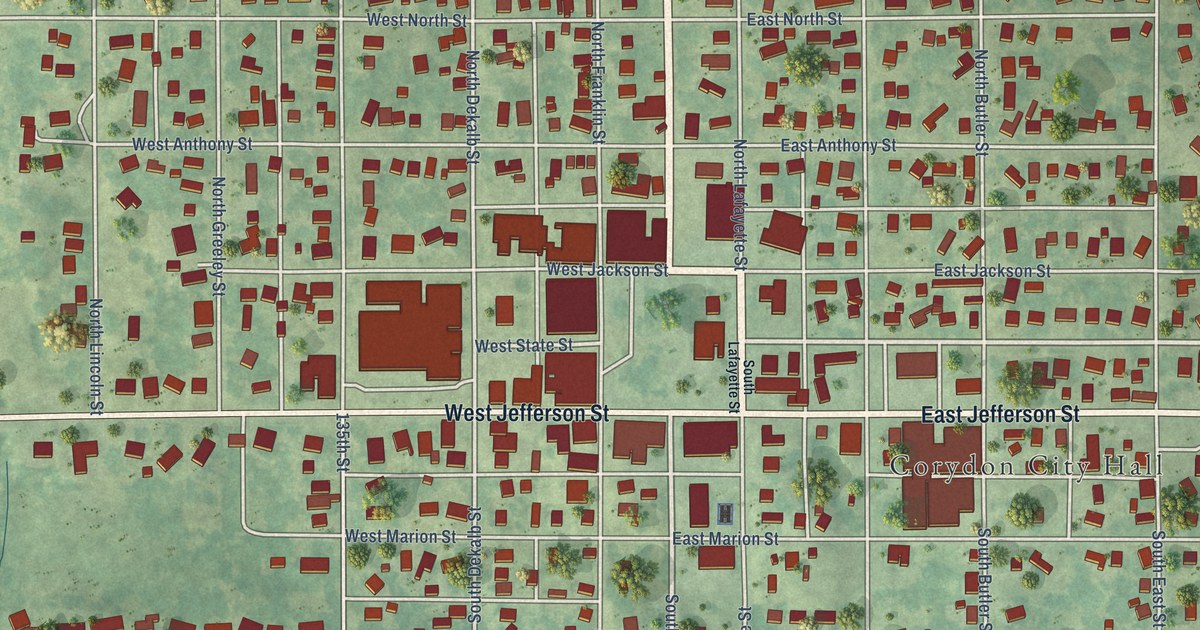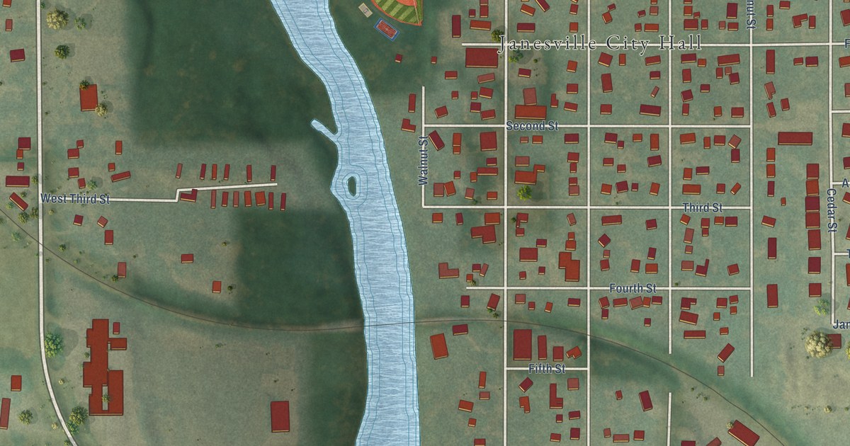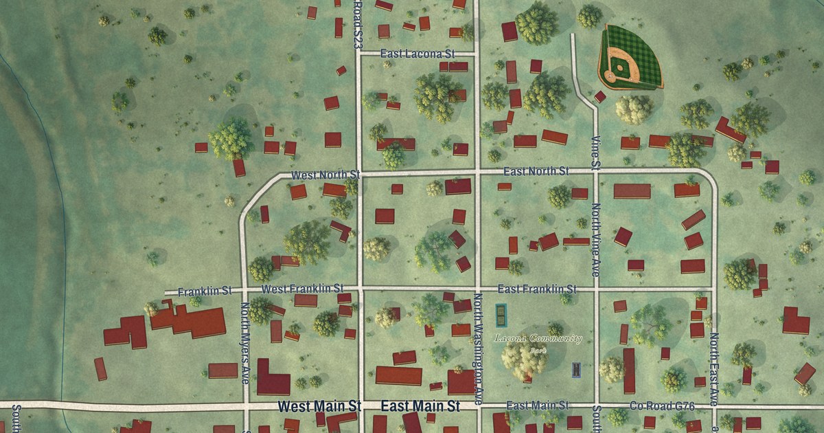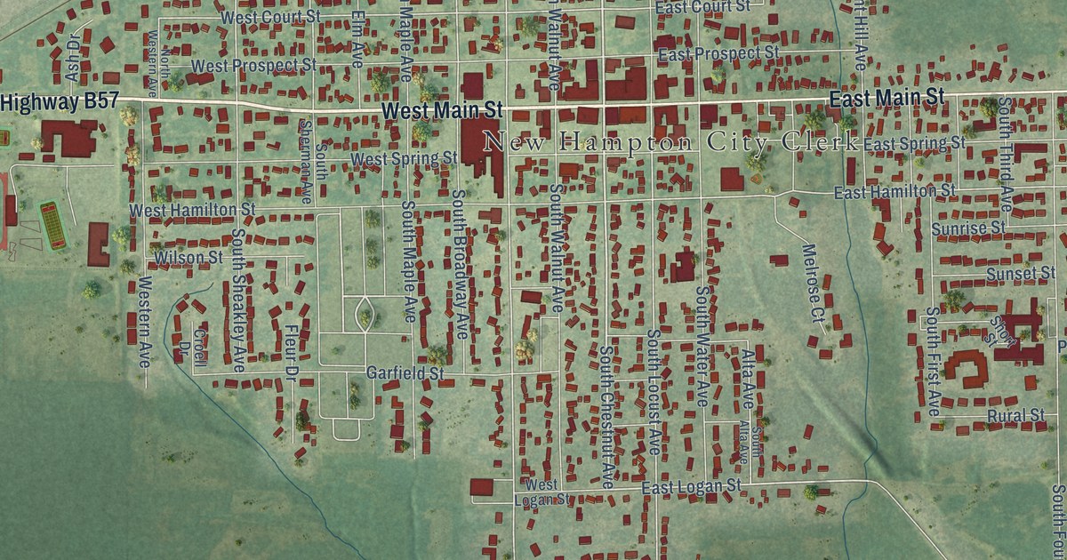
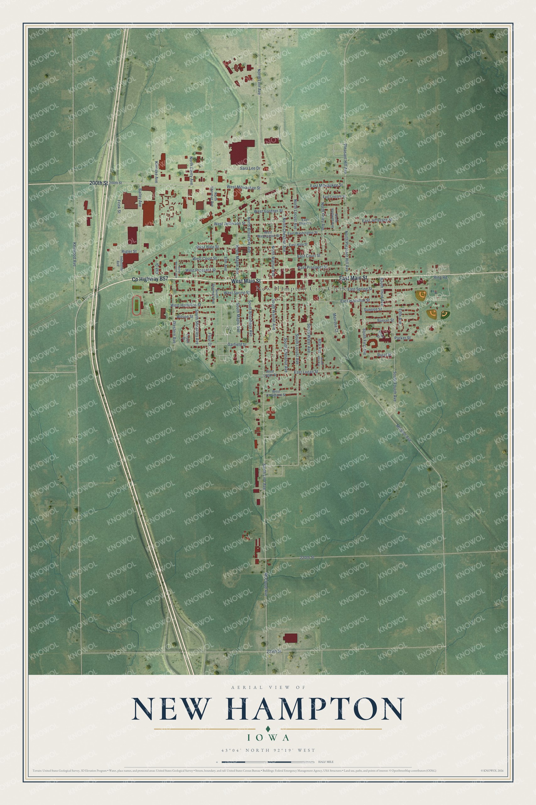
This beautifully detailed map of New Hampton, Iowa was created in 2026 using aerial imagery combined with modern topographical, census, street and landmark data. It's a modern aerial view of New Hampton in Chickasaw County, Iowa, that combines modern data with a vintage aesthetic. The roads feature printed names, and if you look closely you can find your exact house accurately shown in its correct location.
Explore an aerial view of New Hampton, Iowa
On this map you'll find New Hampton City Clerk, Mikkelson Park, West Main Street, East Main Street, Co Highway B57, 200th Street, South Chestnut Avenue, North Chestnut Avenue, Bailey Avenue, East Logan Street, West Milwaukee Street, Rigler Street, and more. Each red shape is a building, so zoom in on the preview and look for yours.
New Hampton is a city in Chickasaw County. The Census Bureau counted 3,494 people here in 2020. The map prints the town name in its title panel, with the coordinates below it.
Take a closer look at the New Hampton map
Names on this map
These names are printed on this map.
Places: New Hampton City Clerk and Mikkelson Park.
Streets and roads: West Main Street, East Main Street, County Highway B57, 200th Street, South Chestnut Avenue, North Chestnut Avenue, Bailey Avenue, East Logan Street, West Milwaukee Street, Rigler Street, North Broadway Avenue, North Pleasant Hill Avenue.
More street names, A to Z
220th Street, 225th Street, Alta Avenue, Ash Drive, Croell Drive, East Court Street, East Hale Street, East Hamilton Street, East Jefferson Street, East Lincoln Street, East Milwaukee Street, East Prospect Street, East Spring Street, East Stein Lane, East Washington Street, Elm Avenue, Fifth Avenue, Fleur Drive, Frink Street, Garfield Street, Industrial Avenue, Kenwood Avenue, Klenske Avenue, McCloud Avenue, Melrose Court, Mission Avenue, North Canty Avenue, North Foley Avenue, North Hartwell Avenue, North Linn Avenue, North Locust Avenue, North Maple Avenue, North Sherman Avenue, North Walnut Avenue, North Western Avenue, Parker Street, Pleasant Hill Avenue, Ring Road, Rural Street, Sara Lee Drive, Short Street, South Alta Avenue, South Broadway Avenue, South First Avenue, South Fourth Avenue, South Linn Avenue, South Locust Avenue, South Maple Avenue, South Sheakley Avenue, South Sherman Avenue, South Third Avenue, South Walnut Avenue, South Water Avenue, Sunrise Street, Sunset Street, West Cleveland Street, West Court Street, Western Avenue, West Gardner Street, West Hale Street, West Hamilton Street, West Jefferson Street, West Logan Street, West Prospect Street, West Spring Street, West Washington Street, Wilson Street.
Created by KNOWOL in 2026. The buildings are small red shapes, the roads carry their printed names, and shaded relief shows the shape of the land. The title panel reads "AERIAL VIEW OF NEW HAMPTON IOWA" with 43°04' NORTH 92°19' WEST.
Hang it in the hallway, the office or the cabin, or give it to someone who left New Hampton and still calls it home. Open the preview and look for a street you know. See sizes and frames for the New Hampton map.