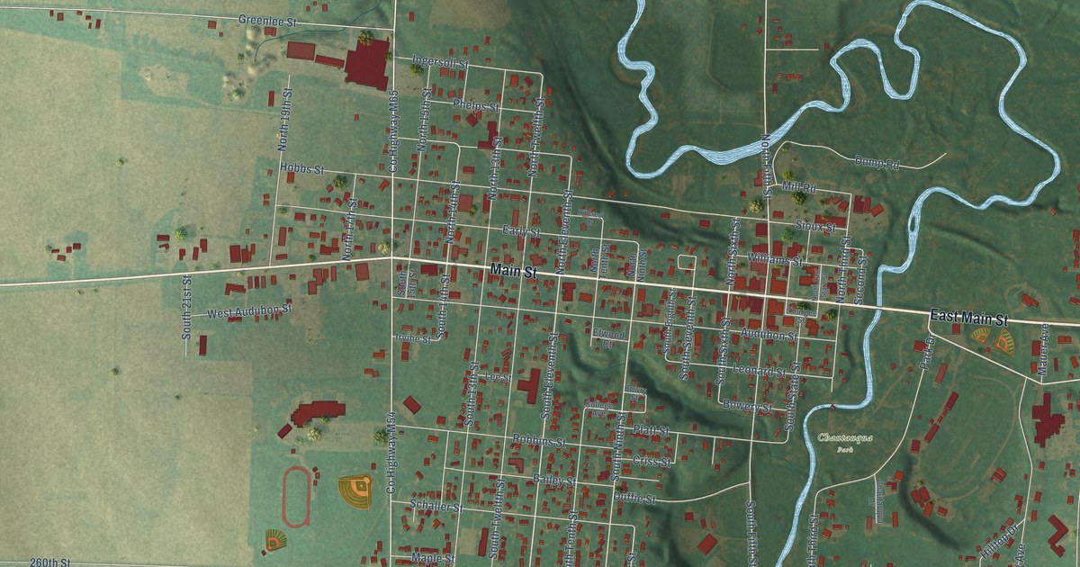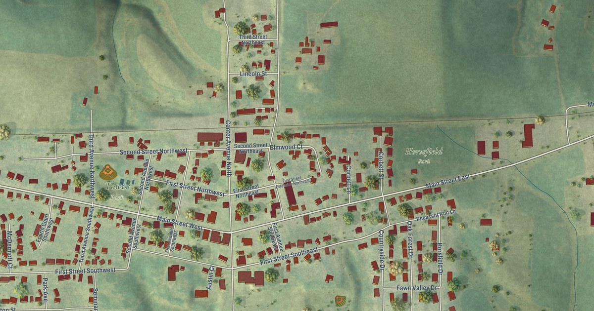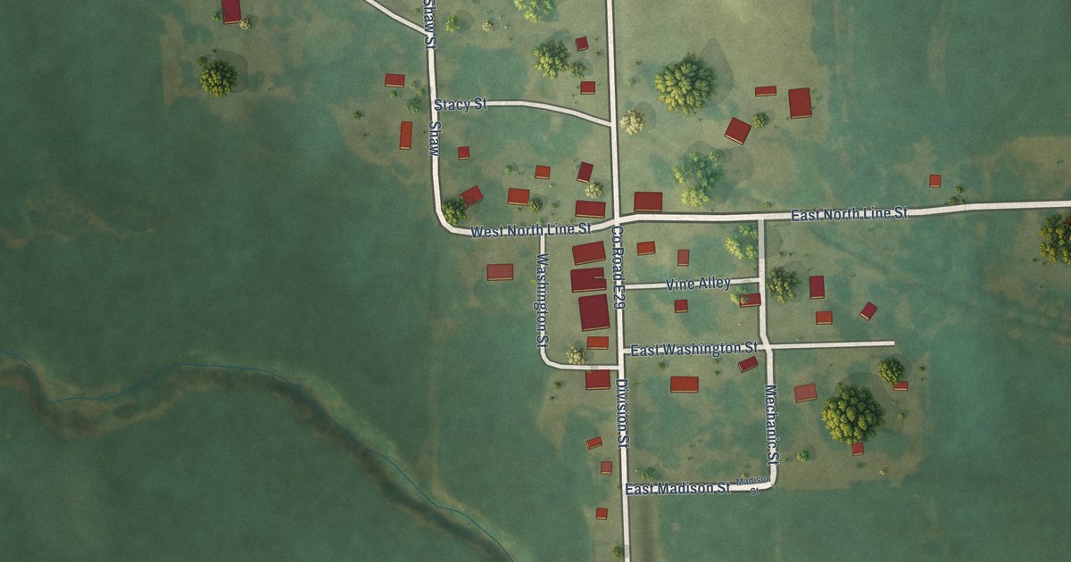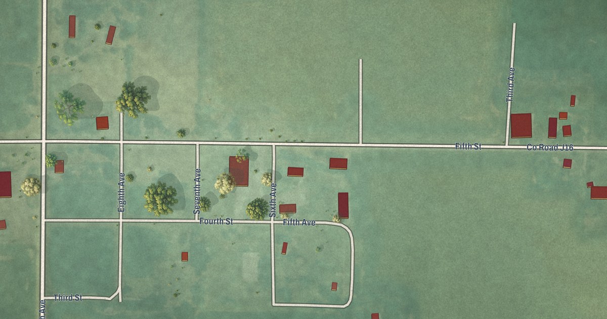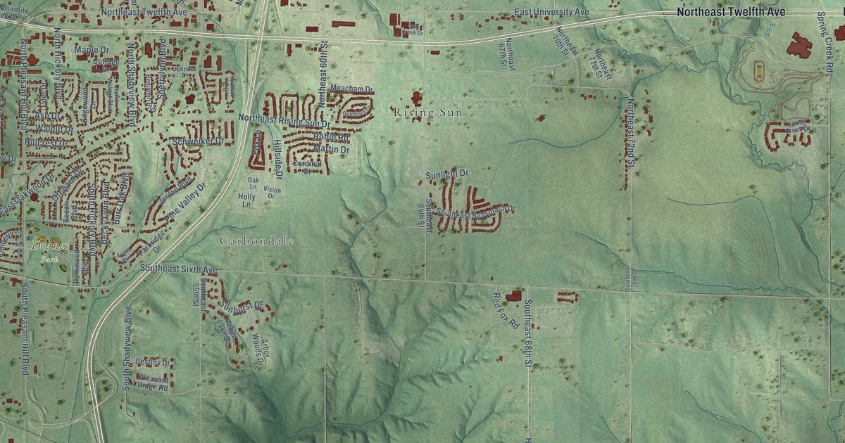
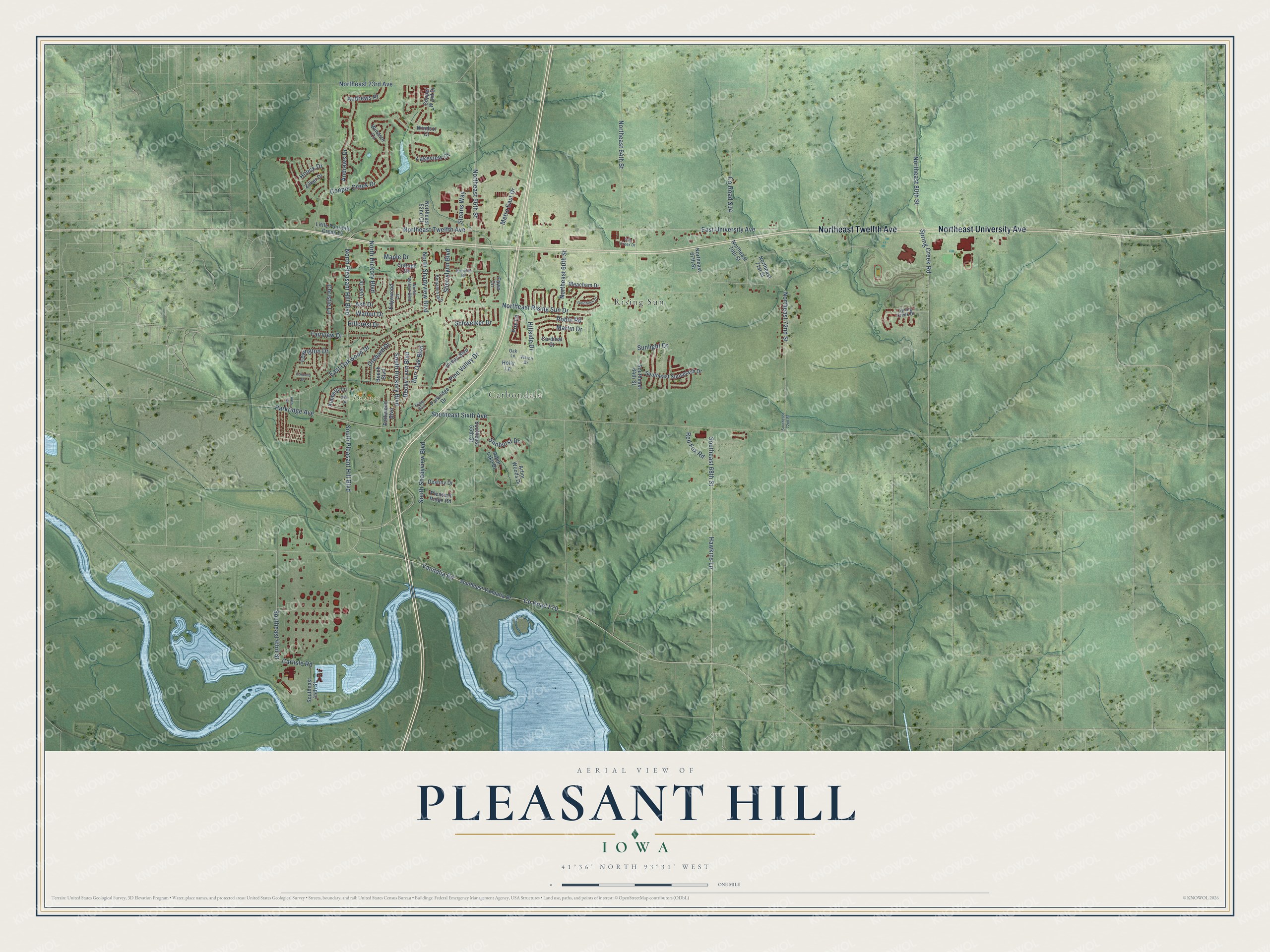
This beautifully detailed map of Pleasant Hill, Iowa was created in 2026 using aerial imagery combined with modern topographical, census, street and landmark data. It's a modern aerial view of Pleasant Hill in Polk County, Iowa, that combines modern data with a vintage aesthetic. The roads feature printed names, and if you look closely you can find your exact house accurately shown in its correct location.
Explore an aerial view of Pleasant Hill, Iowa
On this map you'll find Carbondale, Doanes Park, Rising Sun, Northeast Twelfth Avenue, Northeast University Avenue, Vandalia Road, Co Road F70, North Pleasant Hill Boulevard, Northeast Rising Sun Drive, Co Road S14, East University Avenue, Southeast 68th Street, and more. Each red shape is a building, so zoom in on the preview and look for yours.
Pleasant Hill is a city in Polk County. The Census Bureau counted 10,147 people here in 2020. The map prints the town name in its title panel, with the coordinates below it.
Take a closer look at the Pleasant Hill map
Names on this map
These names are printed on this map.
Places: Carbondale, Doanes Park and Rising Sun.
Streets and roads: Northeast Twelfth Avenue, Northeast University Avenue, Vandalia Road, County Road F70, North Pleasant Hill Boulevard, Northeast Rising Sun Drive, County Road S14, East University Avenue, Southeast 68th Street, North Shadyview Boulevard, North Hickory Boulevard, Schweiker Drive.
More street names, A to Z
44th Street, Andrews Drive, Andrews Place, Arbor Lake Drive, Arbor Woods Drive, Ash Drive, Becky Lynn Boulevard, Beech Boulevard, Benjamin Boulevard, Burr Oak Boulevard, Cardinal Court, Carlisle Road, Christie Lane, Concord Drive, Copper Creek Drive, Copper Wynd Drive, Cottage Drive, Dee Drive, Destiny Drive, East Oakwood Drive, Edgewood Lane, Evans Boulevard, Fairview Drive, Fawn Circle, Fox Lane, Goldfinch Drive, Hawkins Lane, Hillcrest Drive, Hillside Drive, Holly Lane, Houck Drive, Jennifer Drive, Jordan Boulevard, Kimberly Lane, Lakeview Drive, Lexington Drive, Little Fourmile Creek Drive, Maple Drive, Martin Drive, Meacham Drive, Metro East Drive, Northeast 23rd Avenue, Northeast 52nd Court, Northeast 56th Street, Northeast 60th Street, Northeast 64th Street, Northeast 67th Street, Northeast 70th Street, Northeast 71st Street, Northeast 72nd Street, Northeast 80th Street, North Walnut Boulevard, Oak Creek Drive, Oak Lane, Orchard Drive, Parkridge Avenue, Parkridge Drive, Parkwood Boulevard, Pine Valley Drive, Pleasant Ridge Road, Red Fox Road, Robin Road, Sherrylynn Boulevard, Sloans Way, Southeast 43rd Street, Southeast 45th Street, Southeast 55th Street, Southeast 64th Street, Southeast 72nd Street, Southeast Sixth Avenue, Southeast Sunsplash Drive, Southeast Vandalia Drive, South Hickory Boulevard, South Pleasant Hill Boulevard, South Shadyview Boulevard, Spring Creek Drive, Spring Creek Road, Sunburst Drive, Sunlight Drive, Tyler Drive, Vision Drive, Walnut Drive, Windsor Circle, Windsor Court, Zilker Drive.
Created by KNOWOL in 2026. The buildings are small red shapes, the roads carry their printed names, and shaded relief shows the shape of the land. The title panel reads "AERIAL VIEW OF PLEASANT HILL IOWA" with 41°36' NORTH 93°31' WEST.
It looks right in a kitchen, an office or a den, and it's a gift for anyone who grew up in Pleasant Hill or moved away. Open the preview and find your street. See sizes and frames for the Pleasant Hill map.