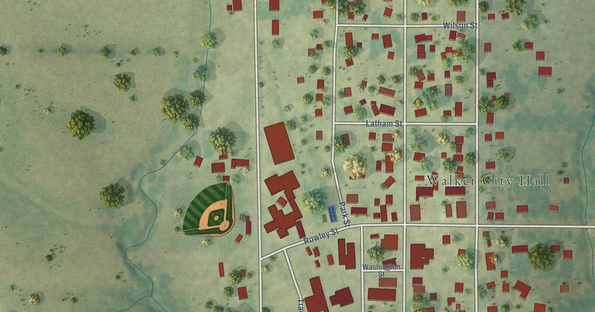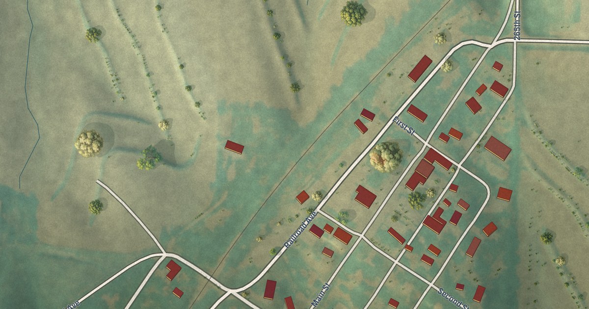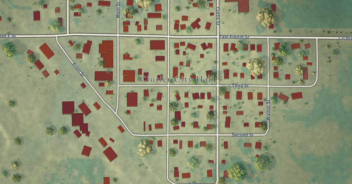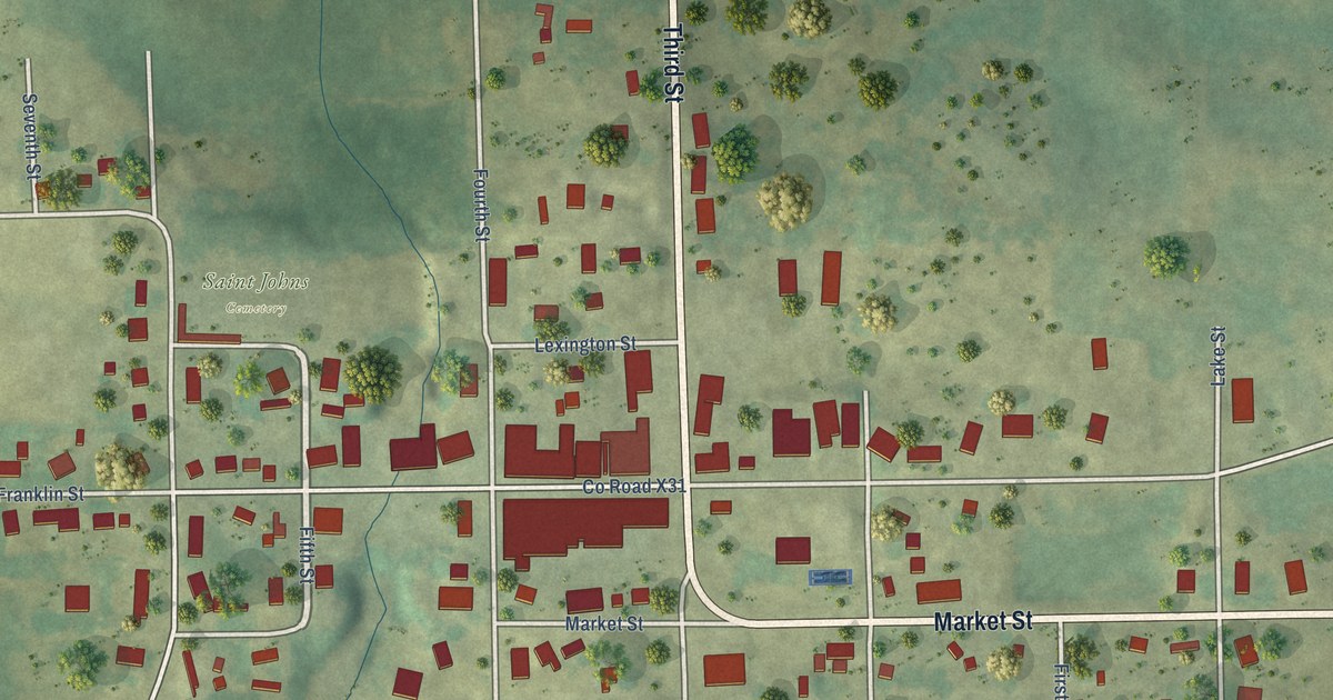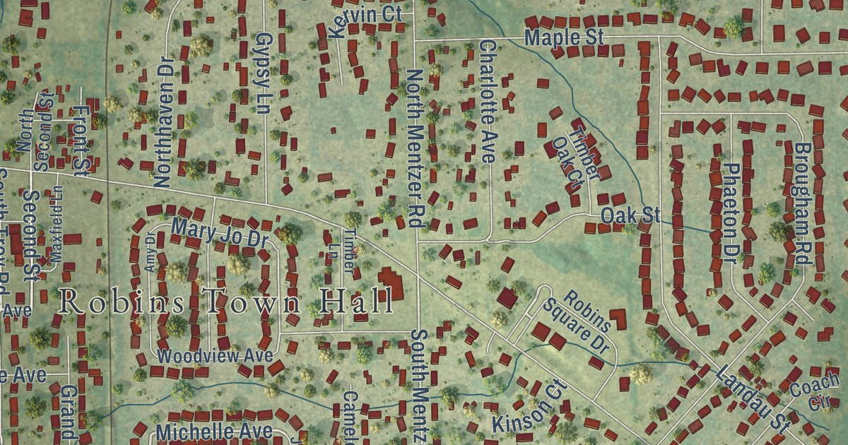
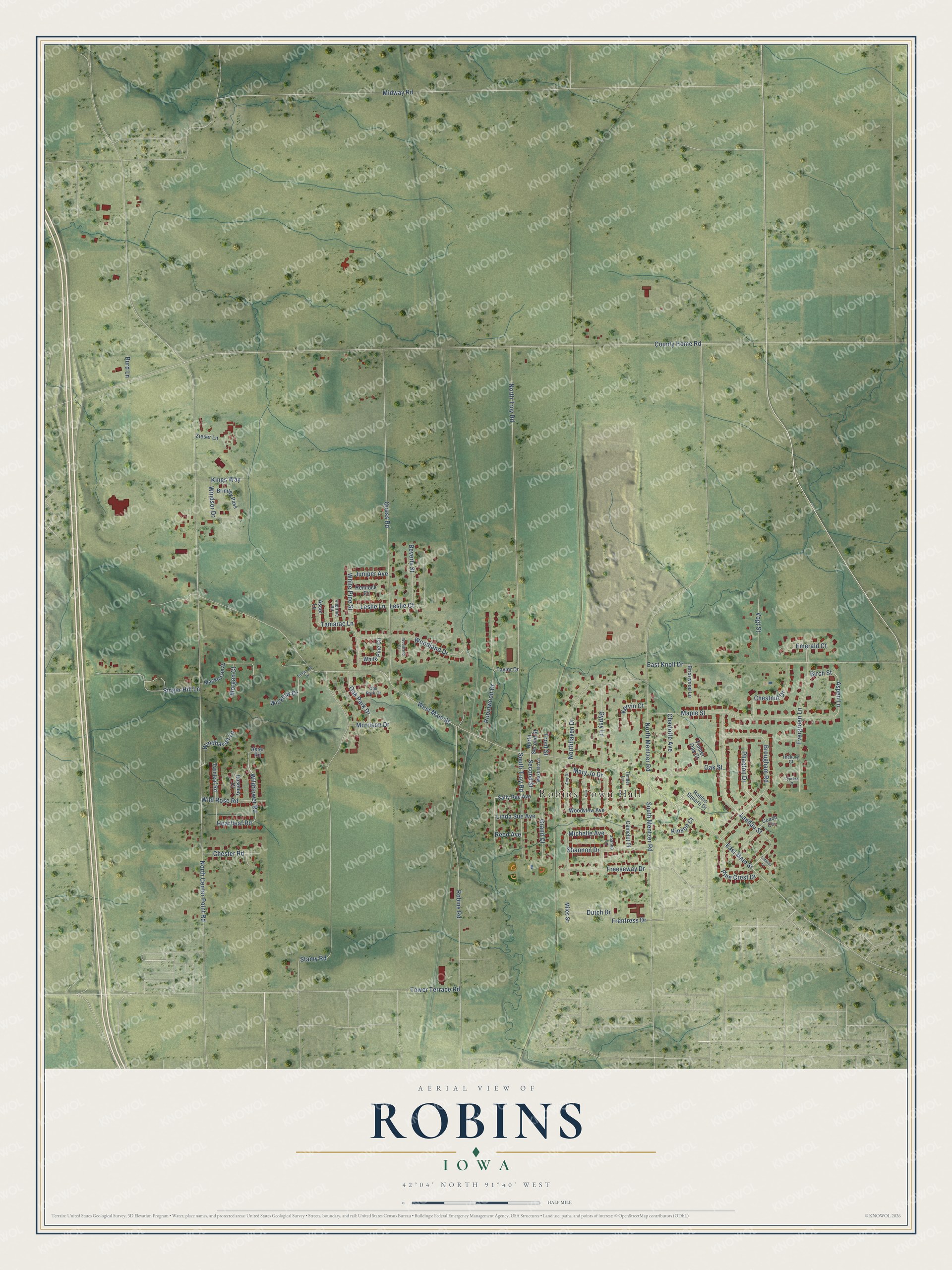
This beautifully detailed map of Robins, Iowa was created in 2026 using aerial imagery combined with modern topographical, census, street and landmark data. It’s a one-of-a-kind view of Robins that combines accurate data with a vintage aesthetic. The map shows every building in its true location, many of the roads carry their names, and the shaded topographic relief shows the shape of the land.
Explore an aerial view of Robins, Iowa
On the map you’ll find Robins Town Hall, along with Michelle Avenue, Second Street, Frentress Drive, Oak Street, South Mentzer Road, South Troy Road, Wildflower Road, Aspen Lane, Heartleaf Road, North Center Point Road, West Main Street, and more. If you look closely you can even find your house accurately drawn in its correct location. Zoom in on the preview to look for yours.
Did you know this piece of Robins, Iowa history?
From Tallgrass Historians: "Robins Station had a depot, stockyards, and coal yards prior to the platting of the town, which was officially platted in October of 1888 by John M. Robins."
Take a closer look at the Robins map
Street and place names on the Robins, Iowa map
These names are printed on the map of Robins, Iowa.
Places: Robins Town Hall.
Streets and roads: Michelle Avenue, Second Street, Frentress Drive, Oak Street, South Mentzer Road, South Troy Road, Wildflower Road, Aspen Lane, Heartleaf Road, North Center Point Road, West Main Street, County Home Road.
More street names, A to Z
Amy Drive, Ascot Lane, Aster Road, Beverly Street, Birch Street, Briarwood Lane, Brimley Pass, Brougham Road, Burd Lane, Camelot Place, Charlotte Avenue, Chester Road, Chestnut Drive, Coach Circle, Cypress Court, Dutch Drive, East Knoll Drive, East Main Street, Emerald Court, Evergreen Lane, Freeseway Drive, Front Street, Grand Court, Gypsy Lane, Hemlock Court, Hickory Court, Joshua Lane, Juniper Avenue, Kervin Court, Kilbirnie Road, Kings Way, Kinson Court, Landau Court, Landau Street, Leslie Court, Leslie Lane, Linda Sue Avenue, Mackenzie Drive, Maple Street, Mary Jo Drive, Maxfield Lane, Midway Road, Miles Street, Morgan Court, Morrison Drive, Northhaven Drive, North Mentzer Road, North Second Street, North Troy Road, Oak Park Court, Oak Park Drive, Phaeton Drive, Pine Crest Drive, Quass Road, Reed Avenue, Robins Road, Robins Square Drive, Robinwood Drive, Rosebay Court, Sally Rae Avenue, Shannon Drive, Singer Hill Lane, Stamy Road, Tamarac Lane, Taylor Drive, Timber Lane, Timber Oak Court, Tower Terrace Road, Tullymore Drive, Twinleaf Road, Vogt Street, White Pine Circle, White Pine Street, Wicklow Drive, Wild Rose Road, Windhaven Lane, Windsor Drive, Woodland Court, Woodland Drive, Woodview Avenue, Zieser Lane.
See the Robins, Iowa map on a wall
The Robins map as an 18 x 24 inch print in a black frame.

This beautifully detailed map of Robins makes an attractive addition to your office, library, or den, and it can even be used to teach children the geography and history of the area. It also makes a great gift for anyone with Robins roots. When you’re done exploring, click here to get your copy of the Robins map.