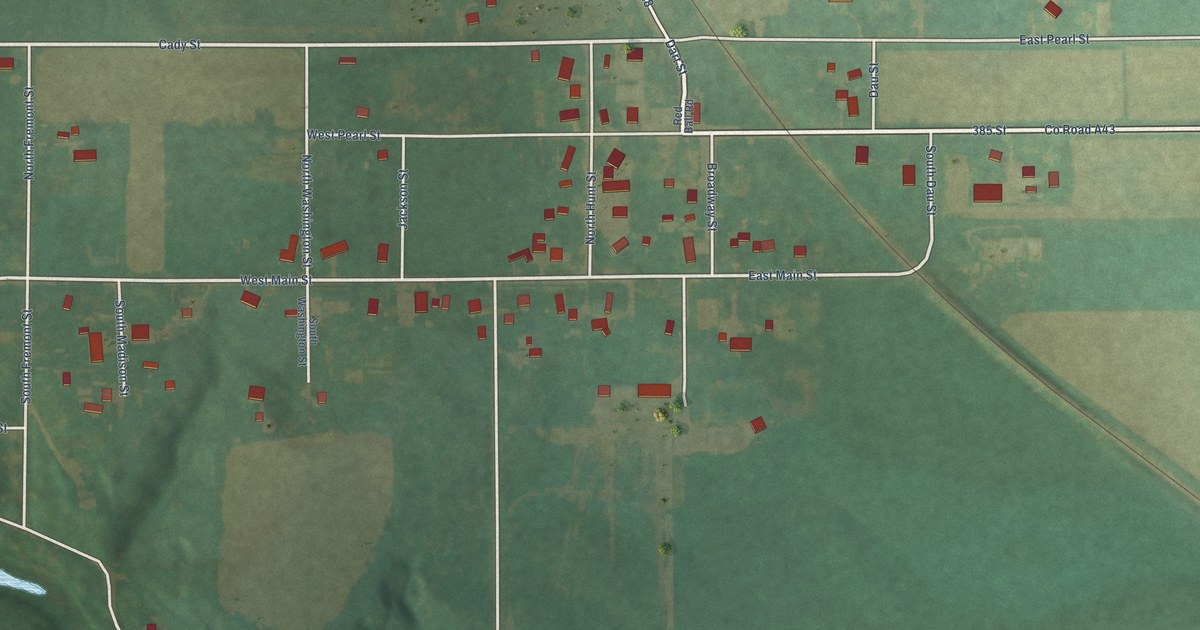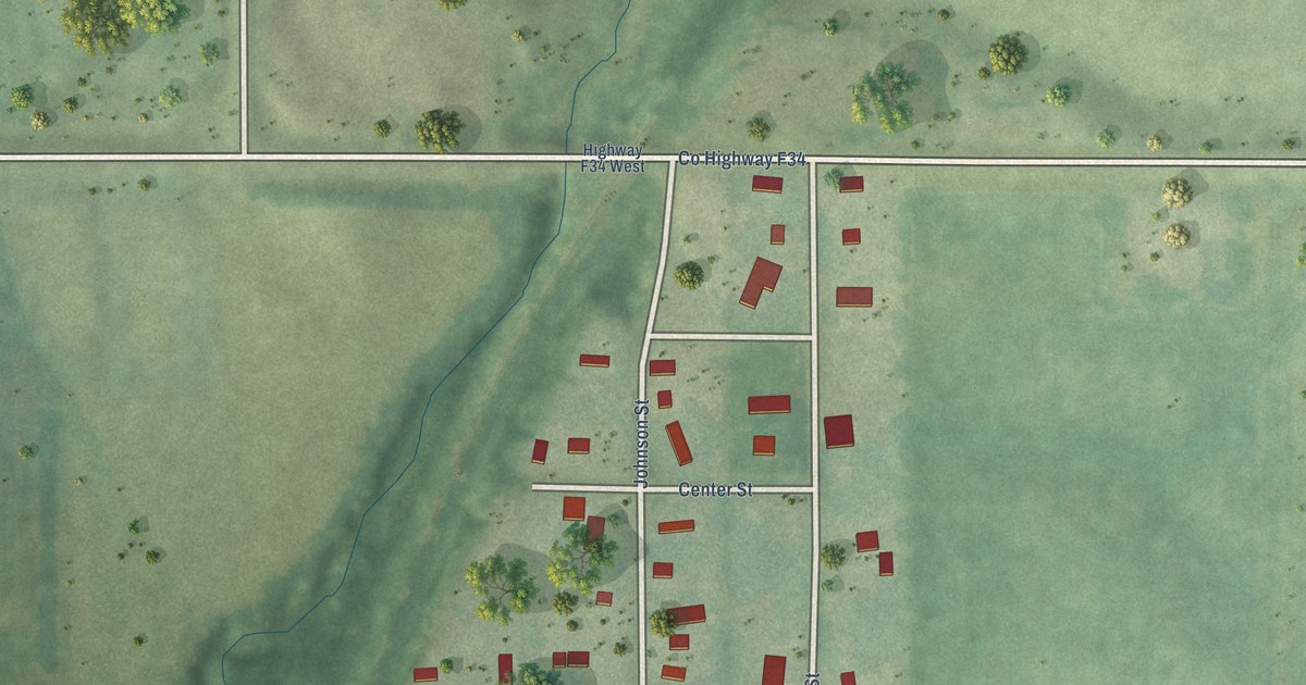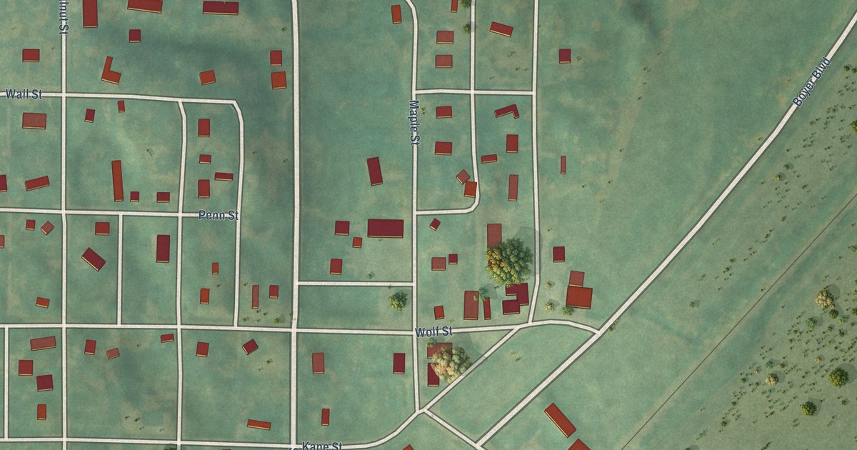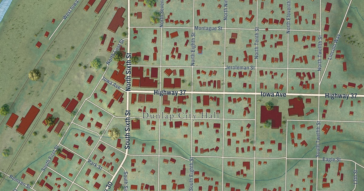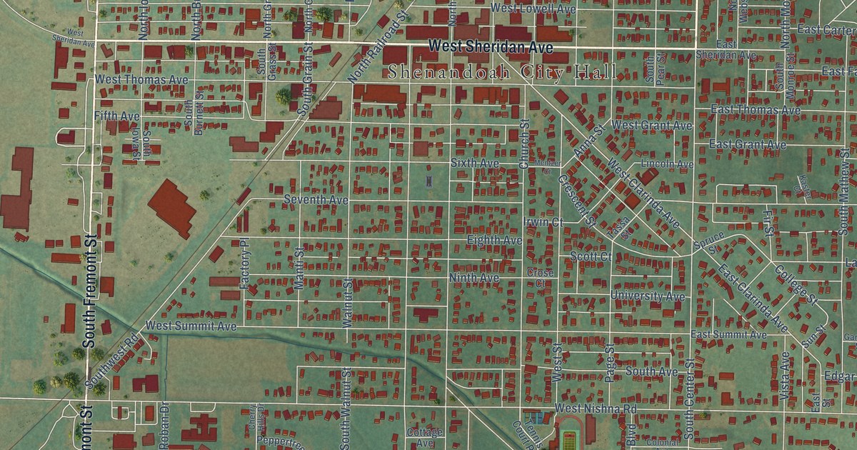
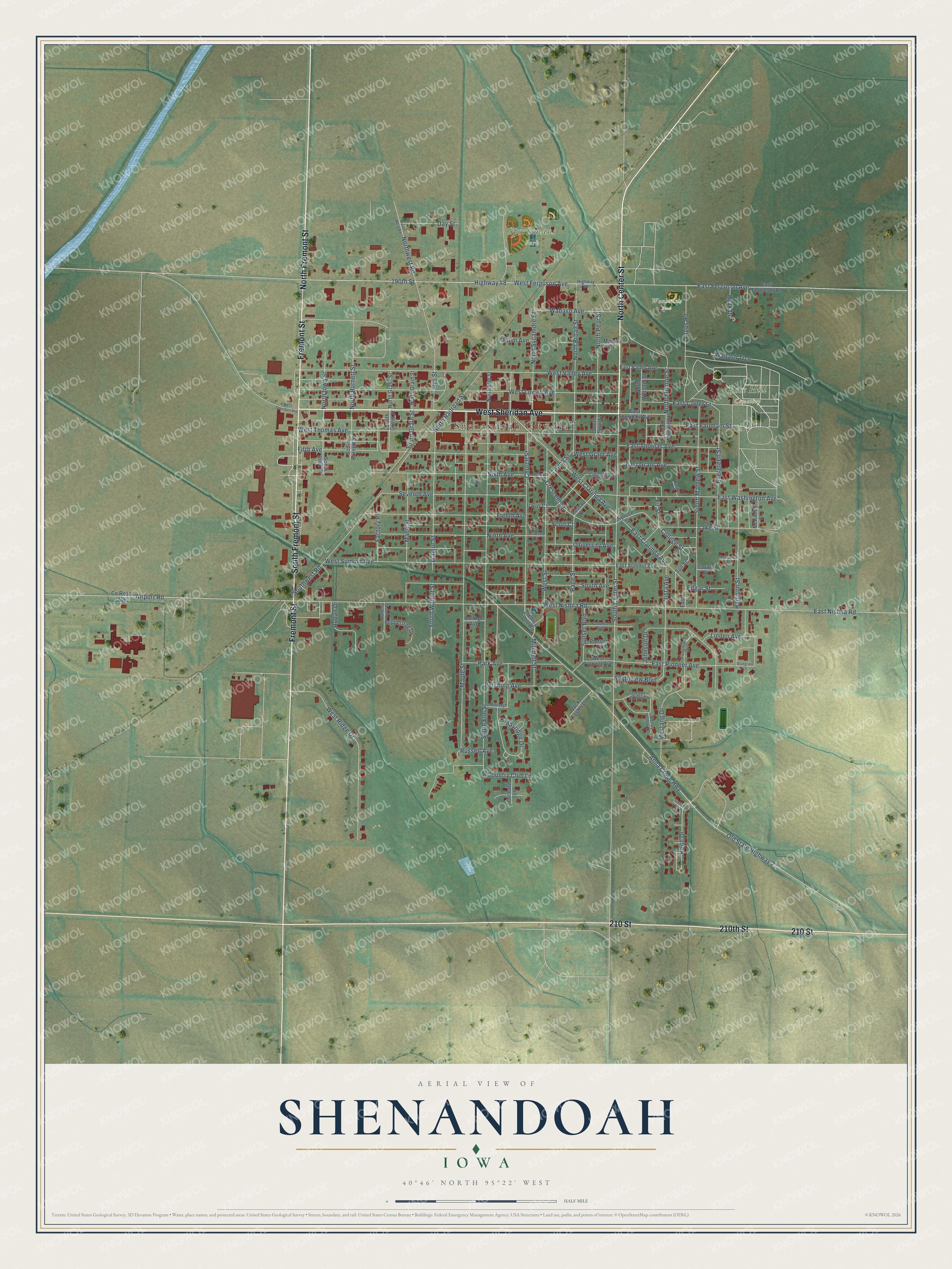
This beautifully detailed map of Shenandoah, Iowa was created in 2026 using aerial imagery combined with modern topographical, census, street and landmark data. It's a modern aerial view of Shenandoah in Page County, Iowa, that combines modern data with a vintage aesthetic. The roads feature printed names, and if you look closely you can find your exact house accurately shown in its correct location.
Explore an aerial view of Shenandoah, Iowa
On this map you'll find Shenandoah City Hall, Rose Hill Cemetery, Sportsmans Park, Waubonsie Park, West Sheridan Avenue, North Center Street, Fremont Street, 210 Street, 210th Street, South Fremont Street, North Fremont Street, 190th Street, and more. Each red shape is a building, so zoom in on the preview and look for yours.
Shenandoah has a story worth telling. The Internet Archive puts it this way: "Shenandoah, in Iowa, was named in memory of the Shen-
andoah valley in Virginia."
Shenandoah is a city in Page County. The Census Bureau counted 4,925 people here in 2020.
Take a closer look at the Shenandoah map
Names on this map
These names are printed on this map.
Places: Shenandoah City Hall, Rose Hill Cemetery, Sportsmans Park and Waubonsie Park.
Streets and roads: West Sheridan Avenue, North Center Street, Fremont Street, 210 Street, 210th Street, South Fremont Street, North Fremont Street, 190th Street, Highway 48, West Ferguson Avenue, East Ferguson Avenue, South Center Street.
More street names, A to Z
Airport Road, Anna Crose Highway, Anna Street, Argus Road, Bluegrass Lane, Cherry Hills Drive, Church Street, College Street, Colonial Avenue, Cottage Avenue, Country Club Lane, County Road J34, Crescent Street, Crose Court, Day Street, East Carter Street, East Clarinda Avenue, East Farnham Street, East Ferguson Road, East Grant Avenue, East Nishna Road, East Pioneer Avenue, East Sheridan Avenue, East Street, East Summit Avenue, East Thomas Avenue, East Valley Avenue, East Washington Avenue, Edgar Street, Eighth Avenue, Evergreen Street, Factory Place, Fifth Avenue, Fir Street, Garfield Street, Harrison Street, Highway 58, Hyak Drive, Irwin Court, Jack Foster Drive, Johnson Drive, Kaster Court, Keith Drive, Lake Street, Lincoln Avenue, Linden Avenue, Longman Drive, Manti Street, Maple Street, Mason Court, Mayridge Drive, McConkey Drive, McKinley Street, Mentzer Court, Middaugh Avenue, Mitchell Street, Mustang Drive, Ninth Avenue, North Broad Street, North Burnett Street, North Elm Street, North Grain Street, North Grass Street, North Iowa Street, North Monroe Street, North Pear Street, North Railroad Street, North Sycamore Street, North Webster Street, Northwest Road, North West Road, Old State Highway 2, Orchard Lane, Page Street, Palm Avenue, Park Avenue, Peppertree Drive, Pershing Avenue, Pierson Drive, Roban Drive, Russell Avenue, Rye Street, Scott Court, Seventh Avenue, Sheila Circle, Sixth Avenue, Sleepy Hollow Drive, Sleepy Hollow Lane, South Avenue, South Burnett Street, South Elm Street, South Grain Street, South Grass Street, South Iowa Street, South Mathew Street, South Monroe Street, South Pear Street, Southview Boulevard, South Walnut Street, Southwest Road, Spruce Street, Sunset Boulevard, Sun Street, Tassa Street, Tennis Court Road, University Avenue, Vista Avenue, Wabash Avenue, Wabash Trce, Walnut Street, West Clarinda Avenue, West Grant Avenue, West Lowell Avenue, West Nishna Road, West Pioneer Avenue, West Ridge Drive, West Street, West Summit Avenue, West Thomas Avenue, West Valley Avenue.
Created by KNOWOL in 2026. The buildings are small red shapes, the roads carry their printed names, and shaded relief shows the shape of the land. The title panel reads "AERIAL VIEW OF SHENANDOAH IOWA" with 40°46' NORTH 95°22' WEST.
It looks right in a kitchen, an office or a den, and it's a gift for anyone who grew up in Shenandoah or moved away. Open the preview and find your street. See sizes and frames for the Shenandoah map.