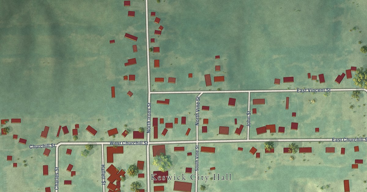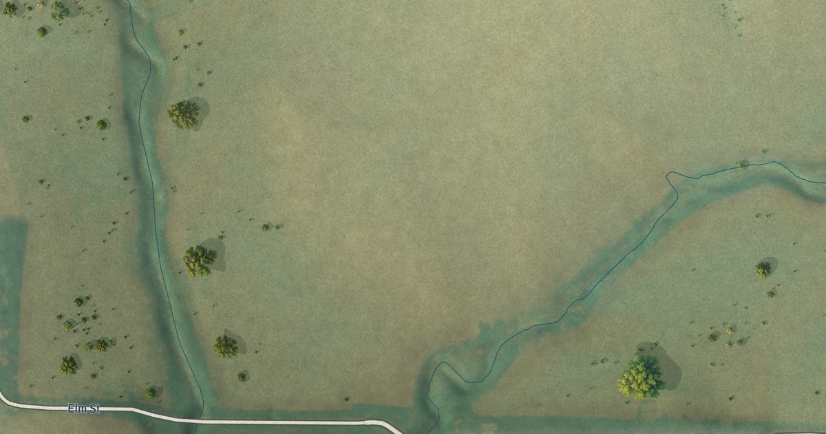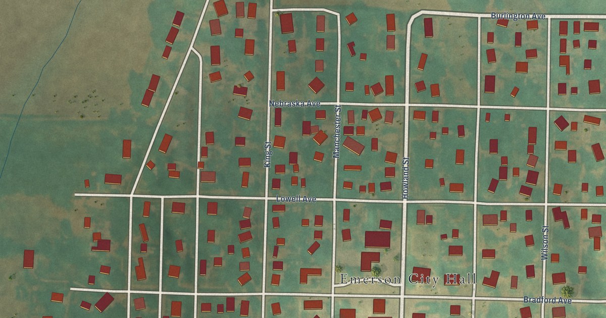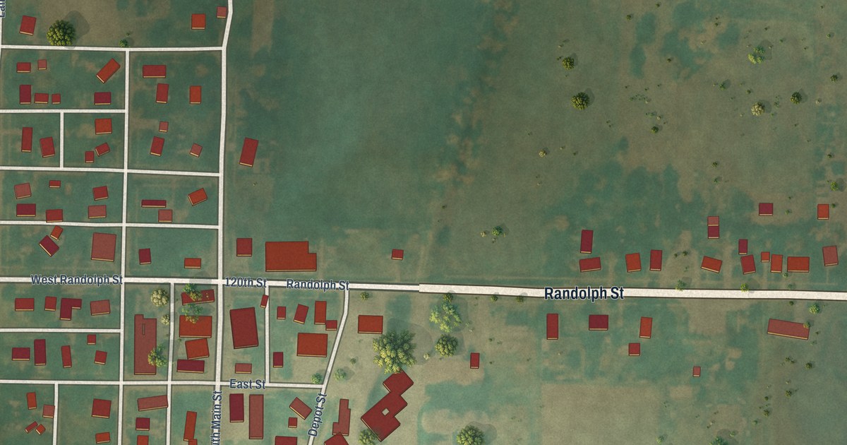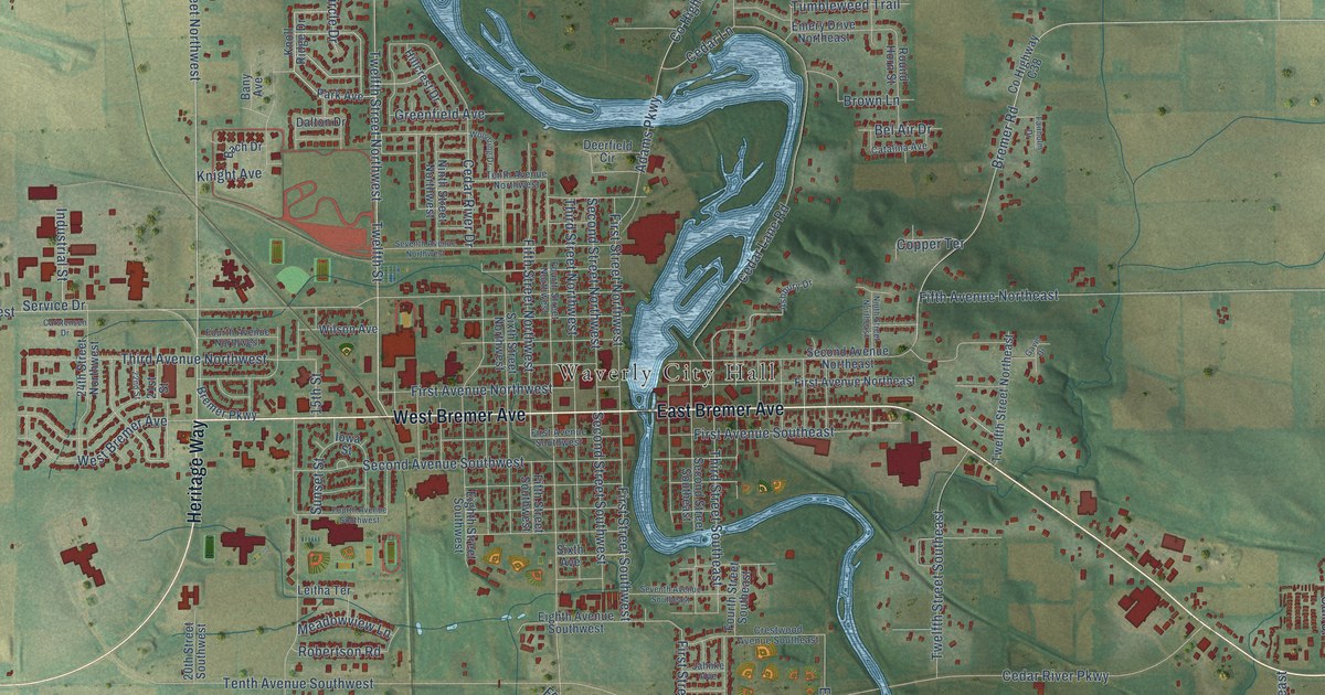
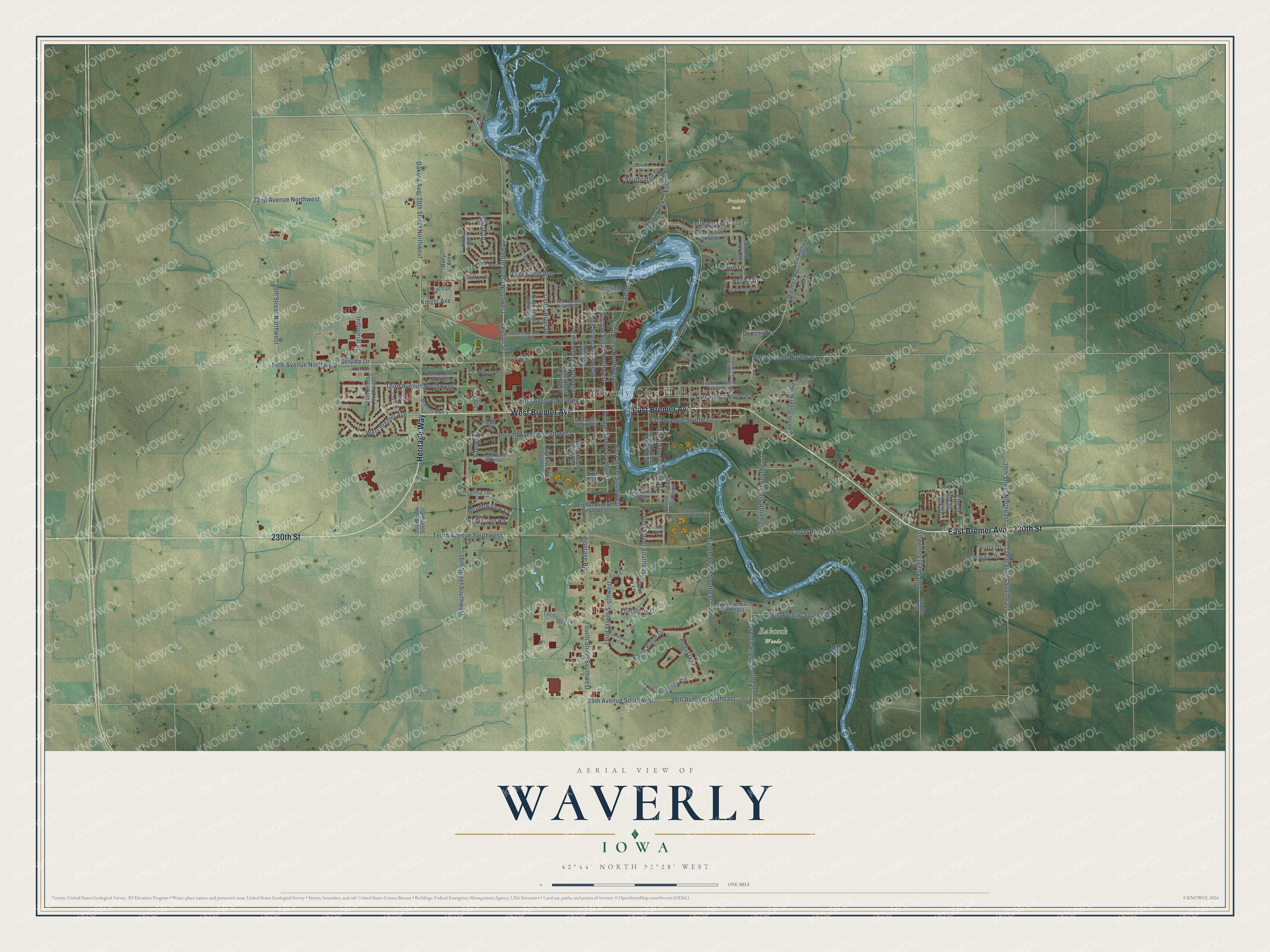
This beautifully detailed map of Waverly, Iowa was created in 2026 using aerial imagery combined with modern topographical, census, street and landmark data. It's a modern aerial view of Waverly in Bremer County, Iowa, that combines modern data with a vintage aesthetic. The roads feature printed names, and if you look closely you can find your exact house accurately shown in its correct location.
Explore an aerial view of Waverly, Iowa
On this map you'll find Waverly City Hall, Babcock Woods, Prairie Park, West Bremer Avenue, East Bremer Avenue, Heritage Way, 230th Street, 20th Street Northwest, 22nd Avenue Northwest, Augusta Lane, Twelfth Street Northwest, Twelfth Street, and more. Each red shape is a building, so zoom in on the preview and look for yours.
Waverly is a city in Bremer County. The Census Bureau counted 10,394 people here in 2020. The map prints the town name in its title panel, with the coordinates below it.
Take a closer look at the Waverly map
Names on this map
These names are printed on this map.
Places: Waverly City Hall, Babcock Woods and Prairie Park.
Streets and roads: West Bremer Avenue, East Bremer Avenue, Heritage Way, 230th Street, 20th Street Northwest, 22nd Avenue Northwest, Augusta Lane, Twelfth Street Northwest, Twelfth Street, 39th Street Southeast, 29th Avenue Southeast, Eleventh Street Southeast.
More street names, A to Z
15th Street, 16th Street Southwest, 17th Avenue Southeast, 18th Avenue Southeast, 20th Street Southwest, 21st Street, 22nd Street, 24th Street Northwest, 29th Avenue Southwest, 30th Street Southeast, 35th Street Northwest, 39th Street Northeast, 240th Street, Adams Parkway, Ashbury Drive, Augusta Circle, Bach Drive, Bany Avenue, Bel Air Drive, Bremer Parkway, Bremer Road, Brown Lane, Carstensen Drive, Catalina Avenue, Cedar Glyn Drive, Cedar Lane, Cedar Lane Road, Cedar River Drive, Cedar River Parkway, Circle Drive, Copper Terrace, County Highway C38, County Highway V14, Crestwood Avenue Southeast, Dakota Avenue, Dalton Drive, Deerfield Circle, Eagle Ridge Drive, Eighth Avenue Southwest, Eighth Street Southeast, Eighth Street Southwest, Elm Street, Emery Drive Northeast, Euclid Avenue, Fairholm Drive, Fairway Drive, Fern Avenue, Fifth Avenue Northeast, Fifth Avenue Northwest, Fifth Street Northwest, Fifth Street Southwest, First Avenue Northeast, First Avenue Northwest, First Avenue Southeast, First Avenue Southwest, First Street Northwest, First Street Southeast, First Street Southwest, Flintstone Drive, Fourth Avenue Northwest, Fourth Avenue Southwest, Fourth Street Northwest, Fourth Street Southeast, Fourth Street Southwest, Frontage Road, Garden Avenue, Gavin Drive, Greenfield Avenue, Hillcrest Drive, Industrial Street, Iowa Street, Jahnke Avenue, Knight Avenue, Knoll Ridge Drive, Leitha Terrace, Meadowview Lane, Monaghan Drive, Ninth Street Northeast, Ninth Street Northwest, Oak Street, Oakwood Circle, Park Avenue, Pine Street, Robertson Road, Round Horn Street, Second Avenue Northeast, Second Avenue Southwest, Second Street Northwest, Second Street Southeast, Second Street Southwest, Service Drive, Seventh Avenue Northwest, Seventh Avenue Southeast, Sixth Avenue, Sixth Street Northwest, Southridge Drive, Stone Lane, Summit Drive, Sunset Street, Technology Place, Tenth Avenue Northwest, Tenth Avenue Southwest, Third Avenue Northwest, Third Street Northwest, Third Street Southeast, Third Street Southwest, Tumbleweed Trail, Twelfth Street Northeast, Twelfth Street Southeast, Viola Drive, Vista Circle, Wilson Avenue, Woodring Drive.
Created by KNOWOL in 2026. The buildings are small red shapes, the roads carry their printed names, and shaded relief shows the shape of the land. The title panel reads "AERIAL VIEW OF WAVERLY IOWA" with 42°44' NORTH 92°28' WEST.
It looks right in a kitchen, an office or a den, and it's a gift for anyone who grew up in Waverly or moved away. Open the preview and find your street. See sizes and frames for the Waverly map.