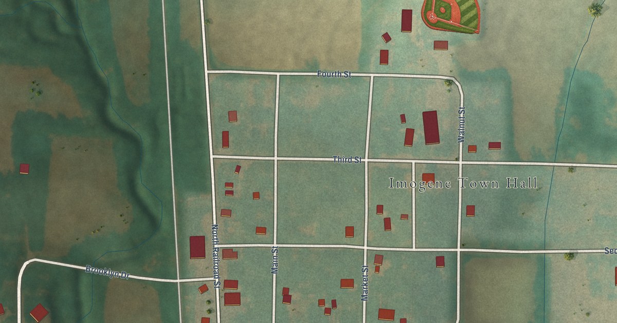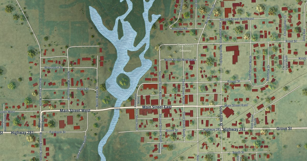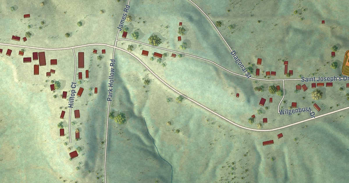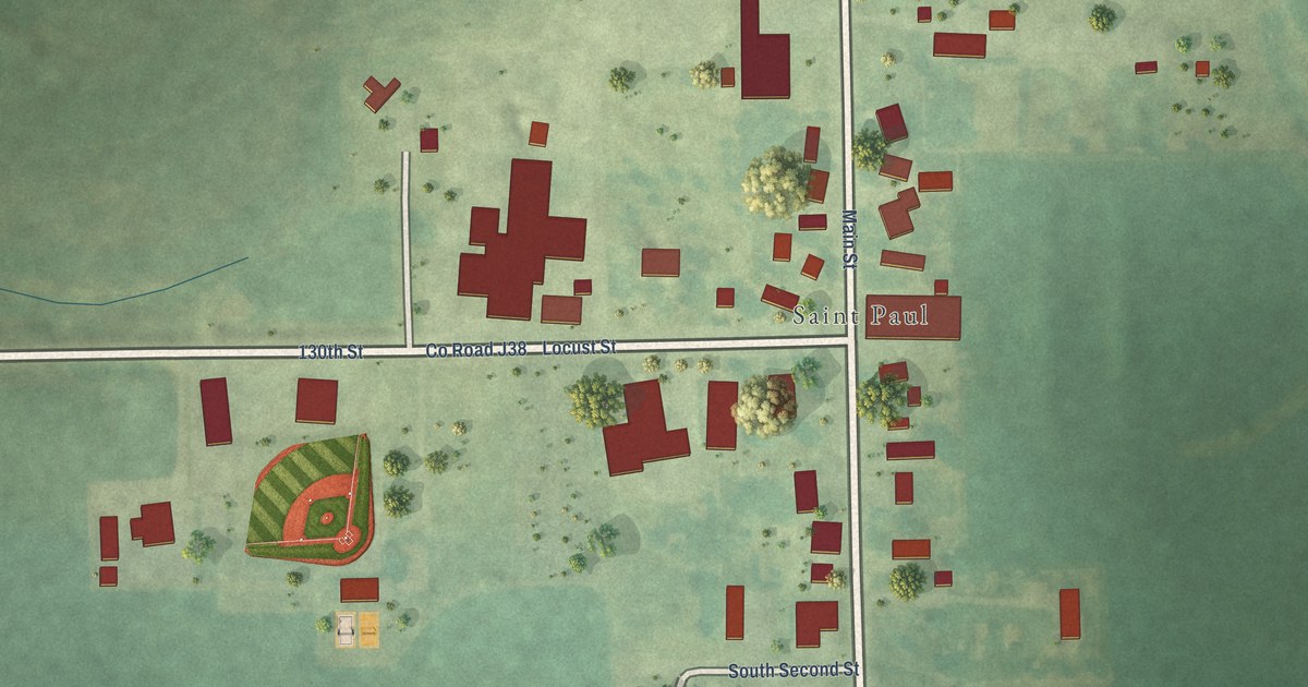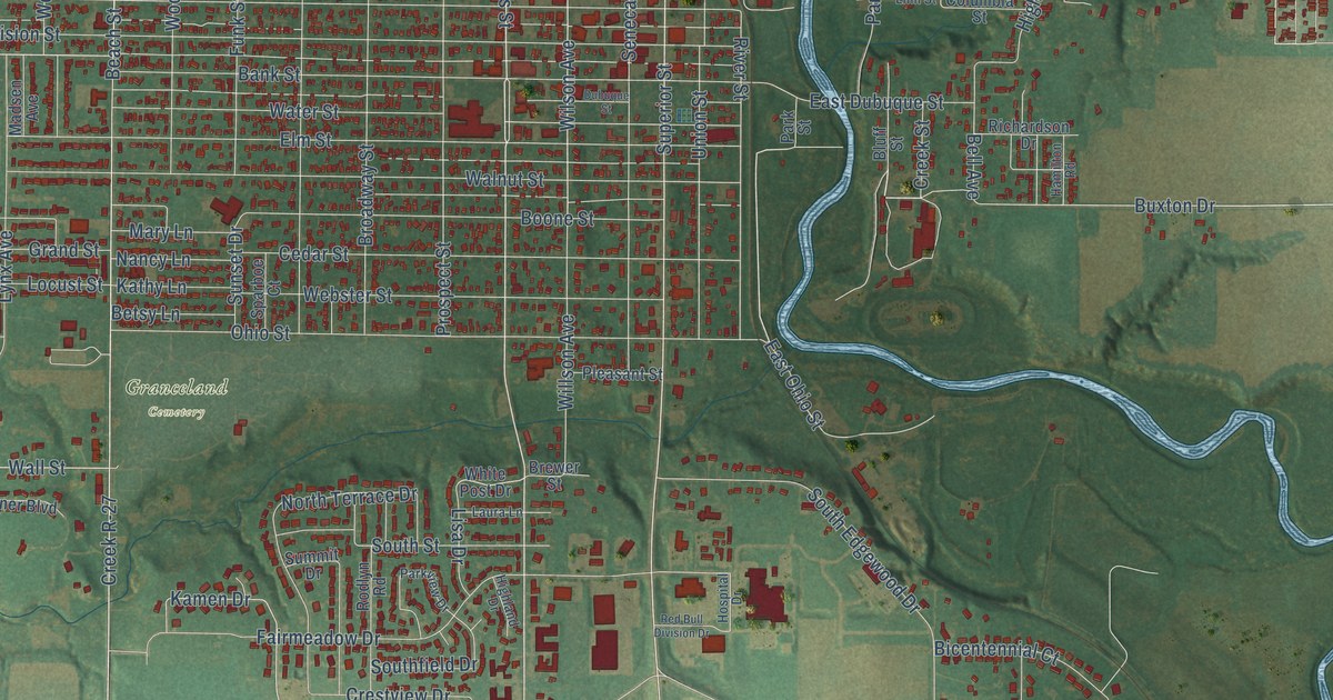
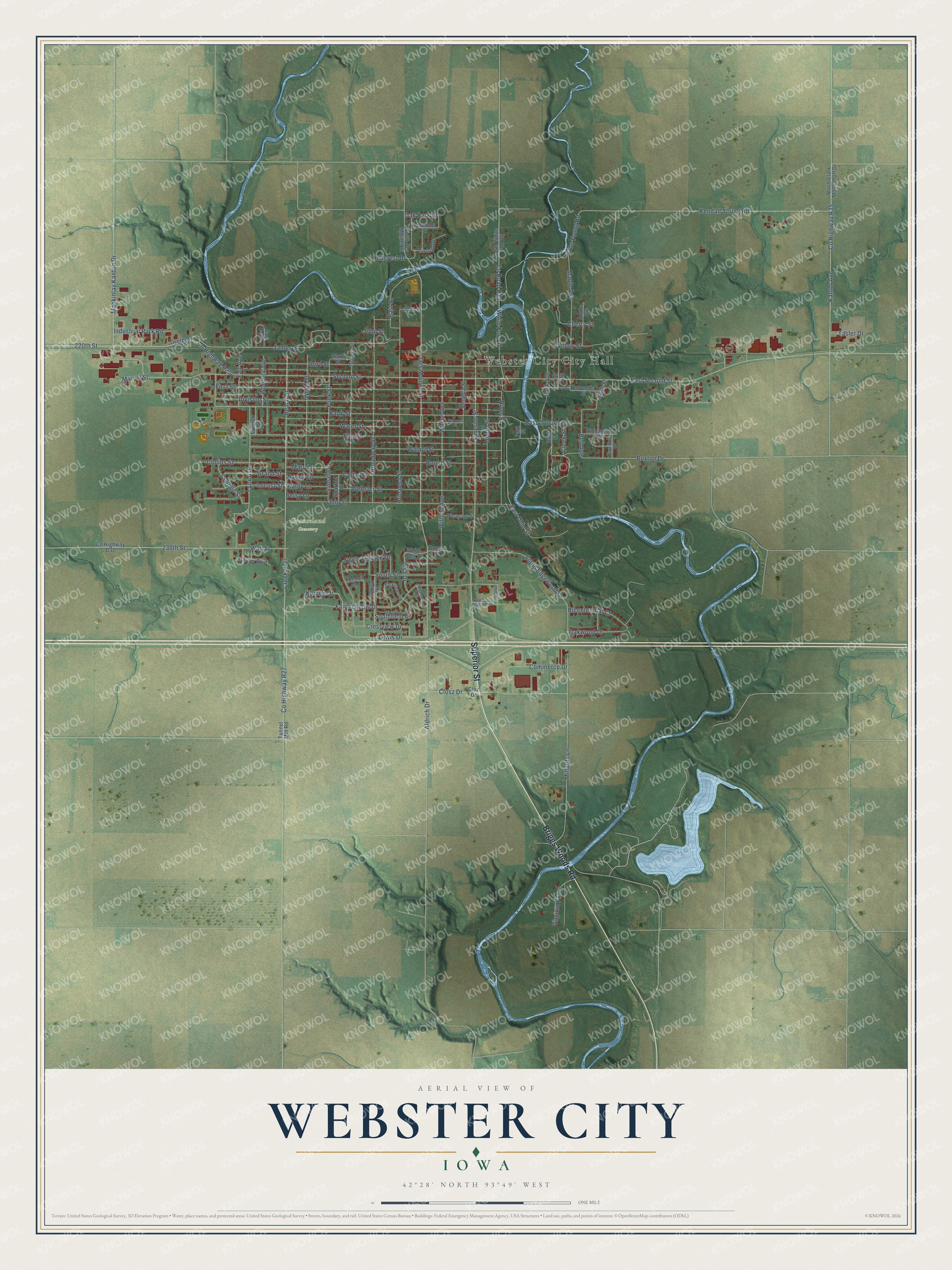
This beautifully detailed map of Webster City, Iowa was created in 2026 using aerial imagery combined with modern topographical, census, street and landmark data. It’s a one-of-a-kind view of Webster City that combines accurate data with a vintage aesthetic. The map shows every building in its true location, many of the roads carry their names, and the shaded topographic relief shows the shape of the land.
Explore an aerial view of Webster City, Iowa
On the map you’ll find Granceland Cemetery and Creek R-27, along with Superior Street, Briggs Woods Road, Des Moines Street, Lewis Drive, Second Street, East Second Street, Bank Street, County Highway R27, 220th Street, Wall Street, and more. If you look closely you can even find your house accurately drawn in its correct location. Zoom in on the preview to look for yours.
Did you know this piece of Webster City, Iowa history?
From the History of Hamilton County: "December 20, 1896, the English Evangelical Lutheran church of Webster City, Iowa, was organized with thirty-nine charter members. On December 22d, this organization was completed by adopting a constitution and by electing a church council."
Take a closer look at the Webster City map
Street and place names on the Webster City, Iowa map
These names are printed on the map of Webster City, Iowa.
Places: Webster City City Hall and Granceland Cemetery.
Streets and roads: Superior Street, Briggs Woods Road, Des Moines Street, Creek R-27, Lewis Drive, Second Street, East Second Street, Bank Street, County Highway R27, 220th Street, Wall Street, Wilson Avenue.
More street names, A to Z
230th Street, Aldrich Drive, Apple Avenue, Beach Street, Bell Avenue, Betsy Lane, Bicentennial Court, Bluff Street, Boone Street, Brewer Street, Broadway Street, Buxton Drive, Cedar Street, Cherry Street, Clark Street, Closz Drive, Cloz Drive, College Street, Collins Street, Columbia Street, Commerce Drive, County Highway D25, County Highway D32, County Highway R35, County Road R33, Creek Street, Crestview Drive, Division Street, Dubuque Street, East Curve, East Dubuque Street, East Ohio Street, East Street, Elm Street, Fair Avenue, Fairmeadow Drive, First Street, Funk Street, Grand Street, Grove Street, Hamilton Road, Highland Drive, High Street, Hillcrest Drive, Hospital Drive, Industrial Park Road, James Street, Jane Young Road, John Street, Kamen Drive, Kantor Avenue, Kathy Lane, Kendall Young Road, Laura Lane, Lincoln Drive, Linn Street, Lisa Drive, Locust Street, Lynndale Drive, Lynx Avenue, Mackinlay Kanton Drive, Madsen Avenue, Maple Avenue, Marvel Street, Mary Lane, Millards Lane, Nancy Lane, North Clark Mollenhoff Drive, North Des Moines Street, North Terrace Drive, North White Fox Road, Oak Avenue, Oak Park Drive, Oakwood Drive, Odell Street, Ohio Street, Overpass Drive, Park Avenue, Park Street, Parkview Drive, Pleasant Street, Prospect Street, Red Bull Division Drive, Richardson Drive, River Street, Rodlyn Road, Seneca Street, South Edgewood Drive, Southfield Drive, South Street, Sparboe Court, Steiner Boulevard, Summit Drive, Sunset Drive, Tasler Drive, Third Street, Tunnel Mill Road, Union Street, Virginia Parkway, Walnut Street, Water Street, Webster Street, White Fox Road, White Post Drive, Willow Street, Willson Avenue, Wood Street, Woolsey Avenue.
See the Webster City, Iowa map on a wall
The Webster City map as an 18 x 24 inch print in a black frame.

This beautifully detailed map of Webster City makes an attractive addition to your office, library, or den, and it can even be used to teach children the geography and history of the area. It also makes a great gift for anyone with Webster City roots. When you’re done exploring, click here to get your copy of the Webster City map.