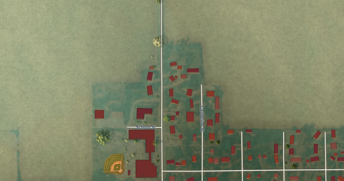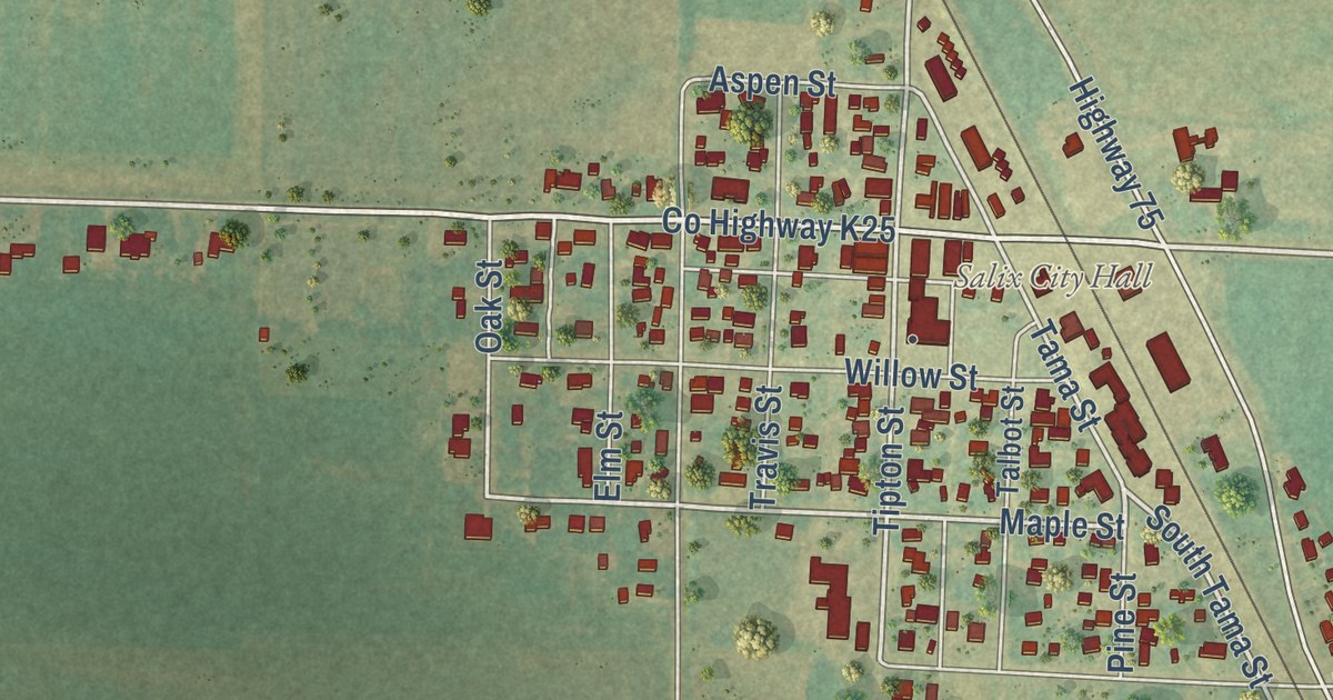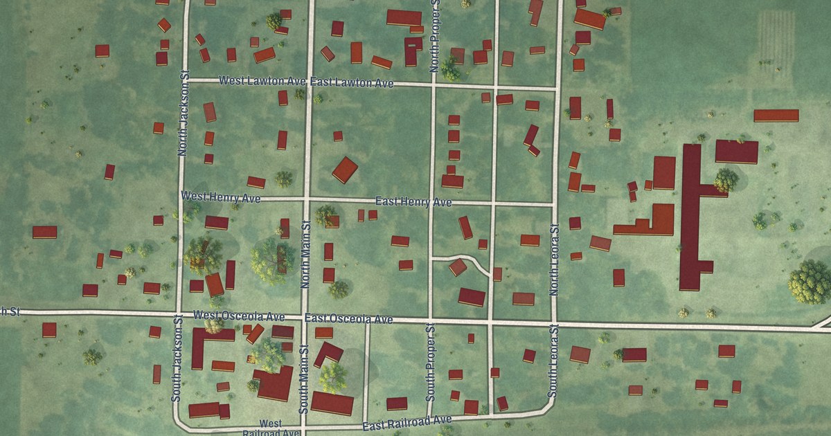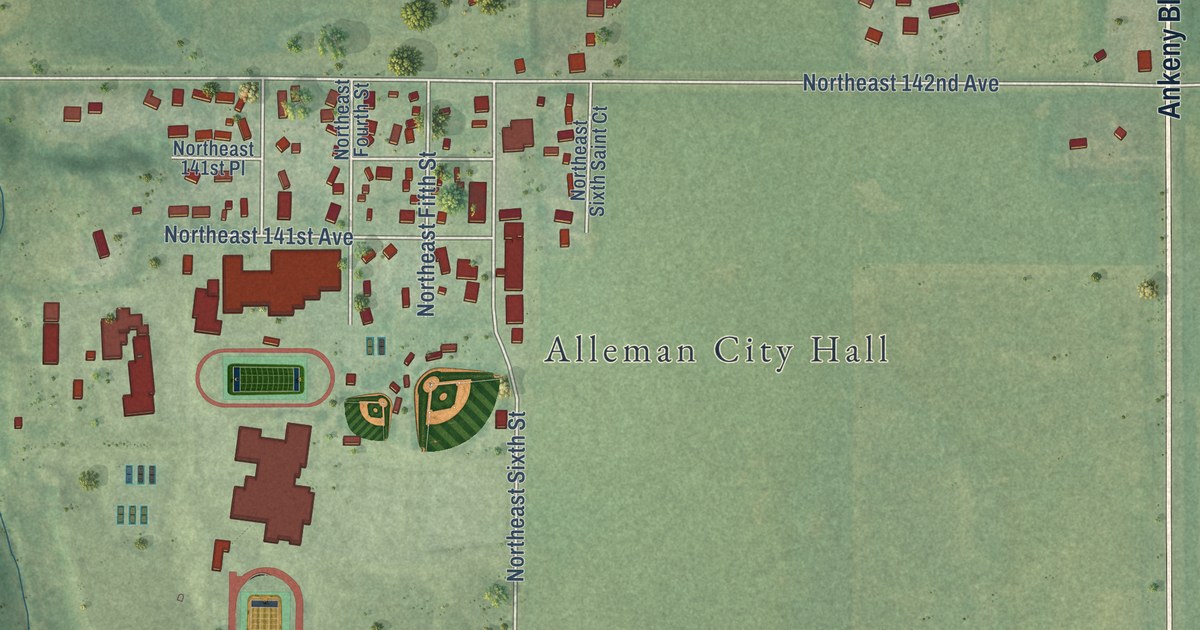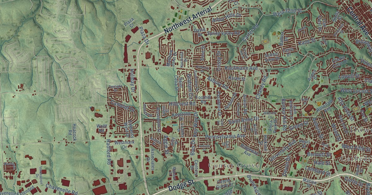
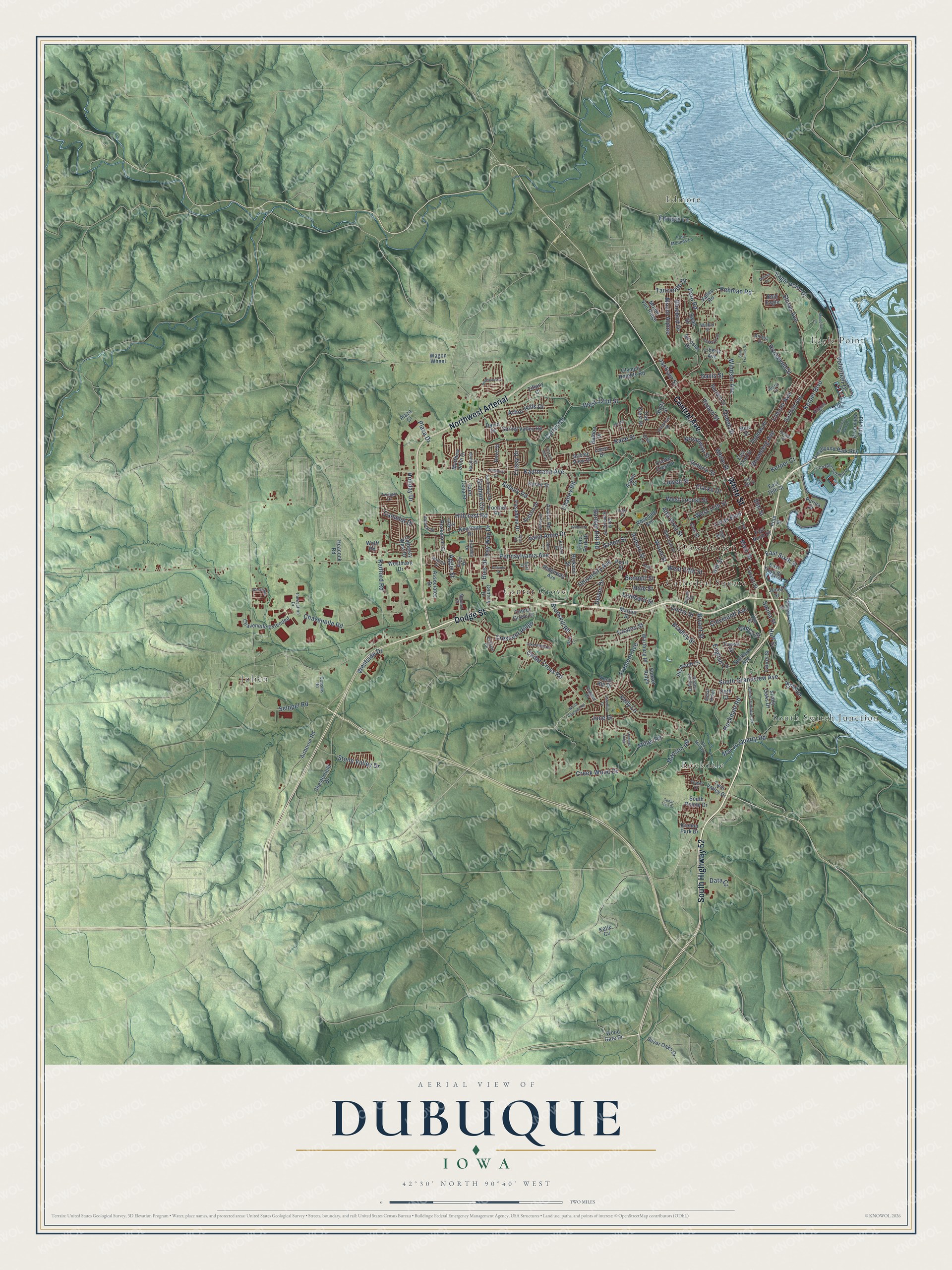
This beautifully detailed map of Dubuque, Iowa was created in 2026 using aerial imagery combined with modern topographical, census, street and landmark data. It’s a one-of-a-kind view of Dubuque that combines accurate data with a vintage aesthetic. The map shows every building in its true location, many of the roads carry their names, and the shaded topographic relief shows the shape of the land.
Explore an aerial view of Dubuque, Iowa
On the map you’ll find Downtown, Edmore, Cathedral Square, Center Grove, Eagle Point, Julien, Rockdale, South Switch Junction, and Northwest Arterial, along with White Street, Central Avenue, Dodge Street, and more. If you look closely you can even find your house accurately drawn in its correct location. Zoom in on the preview to look for yours.
Did you know this piece of Dubuque, Iowa history?
From the Encyclopedia Dubuque: "On September 22, 1788 in Prairie du Chien, Dubuque made an agreement with the Meskwakies under the leadership of Aquoqua to work the lead mines on their land."
Take a closer look at the Dubuque map
Street and place names on the Dubuque, Iowa map
These names are printed on the map of Dubuque, Iowa.
Places: Downtown, Edmore, Cathedral Square, Center Grove, Eagle Point, Julien, Rockdale and South Switch Junction.
Streets and roads: White Street, Central Avenue, Northwest Arterial, Dodge Street, South Highway 52, South Grandview Avenue, Lincoln Avenue, Fremont Avenue, Cedar Cross Road, East Sixth Street, Bennett Street, Lombard Street.
More street names, A to Z
Admiral Street, Aerostar Drive, Aggie Street, Airborne Road, Alpine Street, Alta Vista Street, Amelia Drive, Andrea Street, Arbor Hills Drive, Asbury Road, Aspen Drive, Associates Drive, Auburn Street, Avalon Road, Balboa Drive, Bald Eagle, Bies Drive, Bluebird Drive, Bradley Street, Bristol Drive, Broadway Street, Brunskill Road, Bryant Street, Bunker Hill Road, Burden Street, Camelot Drive, Carmel Drive, Carter Road, Cedar Trail Drive, Center Grove Drive, Century Drive, Cerro Drive, Chaney Road, Chaplin Schmitt Drive, Chavenelle Extended, Chavenelle Road, Chesterfield Drive, Clarke Crest Drive, Clarke Drive, Cleveland Avenue, Coates Street, Cousins Road, Cox Street, Creek Wood Drive, Crescent Ridge, Crissy Drive, Curtis Street, Daniels Street, Data Court, David Drive, Davis Street, Delhi Street, Delicia Drive, Dell Street, Devon Drive, Doe Court, Dove Street, Duggan Drive, Eagle Point Drive, Earl Drive, East 16th Street, East 19th Street, East 22nd Street, East Ninth Street, East Third Street, Eclipse Circle, Eden Lane, Edmore Lane, Elm Street, Embassy West Drive, English Lane, Fengler Street, Flora Park Drive, Foothill Road, Four Mounds Lane, Garfield Avenue, Glen Oak Street, Graham Circle, Green Street, Greyhound Park Road, Hacienda Drive, Hale Street, Hawkeye Drive, Heacock Road, Hickory Hill Street, Hickson Street, Hillcrest Road, Hill Street, Holiday Drive, Honeysuckle, Huff Street, Hunters Ridge, Indian Ridge, Innovation Drive, Iowa Street, Jackson Street, Jeffrey Drive, Jones Street, Judson Drive, Julien Dubuque Drive, June Drive, Justin Lane, Kane Street, Karen Street, Katie Cv, Kaufmann Avenue, Kelly Lane, Kerper Boulevard, Kerper Court, Keystone Drive, Key Way Drive, Kilgore Street, Kimberly Drive, Knob Hill Drive, Kremer Park Drive, Lagen Street, Lake Ridge Drive, Laurel Street, Liberty Avenue, Lobo Lane, Locust Street, Loras Boulevard, Lowell Street, Main Street, Manson Road, Marion Street, Mar Jo Quarry Road, Matthew John Drive, Memorial Lane, Menard Court, Merz Street, Miller Road, Mount Alpine, Mount Vail Ridge, North Cascade Road, Oak Crest Drive, Oeth Court, Old Mill Road, Olympic Heights Road, Pasadena Drive, Pearl Street, Pebman Road, Pennsylvania Avenue, Peru Road, Pinard Street, Pine Street, Plaza Court, Plaza Drive, Plymouth Court, Primrose Street, Prince Phillip Drive, Purina Drive, Queen Street, Radford Road, Rhomberg Avenue, Ridgeway Avenue, Riley Drive, Riverview Park Drive, Riverview Park Road, Rockdale Road, Roosevelt Street, Rosedale Avenue, Rosemont Street, Saint Ambrose Street, Saint Anne Drive, Saint Celia Street, Saint Francis Drive, Salina Street, Scenic View Drive, Seippel Road, Shady Lane, Shady Oaks Drive, Shiras Avenue, Silver Oaks Drive, Southern Avenue, South Pointe Drive, Southway Drive, Spring Valley Road, Stoltz Street, Stone Valley Drive, Sunset Ridge, Swan Drive, Tanzanite Drive, Terminal Street, Thomas Place, Tiffany Court, Tower Drive, Tressa Street, Twilight Drive, Twin Valley Drive, Tyler Road, Ungs Street, University Avenue, Valentine Drive, Valeria Street, Valley Road, Valley Street, Villa Street, Vizaleea Drive, Volunteer Drive, Wagon Wheel, Walker Street, Wartburg Place, West 17th Street, West 32nd Street, Westbrook, West Fifth Street, West Locust Street, Westmark Drive, Westside Drive, Wilbricht Lane, Windsor Avenue, Wolff Road, Wood Gate Drive, Wood Street.
See the Dubuque, Iowa map on a wall
The Dubuque map as an 18 x 24 inch print in a black frame.

This beautifully detailed map of Dubuque makes an attractive addition to your office, library, or den, and it can even be used to teach children the geography and history of the area. It also makes a great gift for anyone who grew up in Dubuque or moved away. When you’re done exploring, click here to get your copy of the Dubuque map.