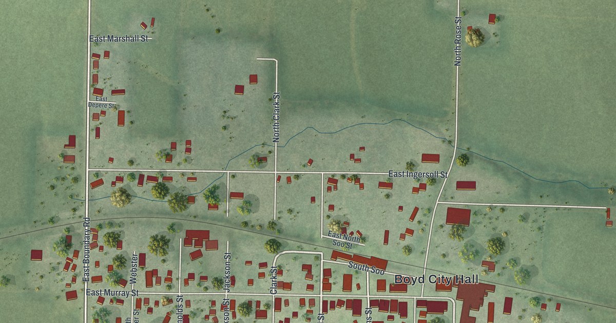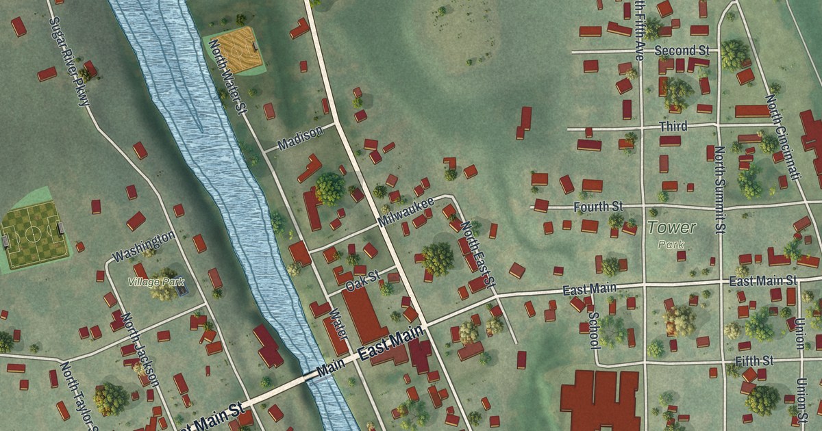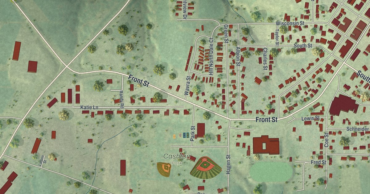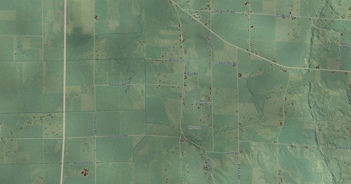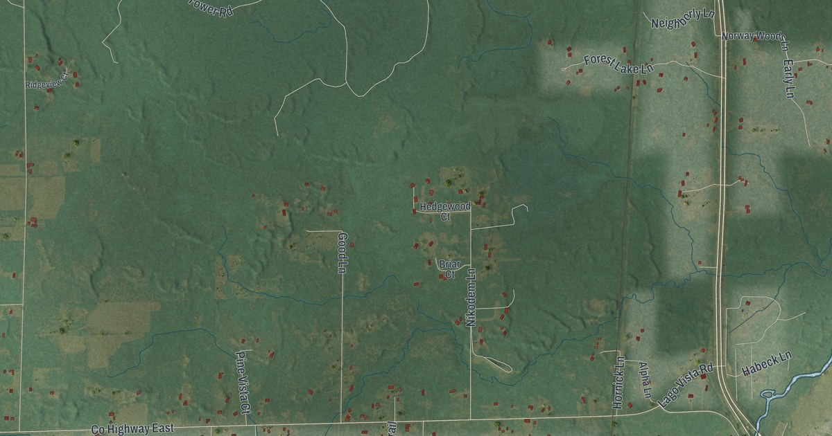
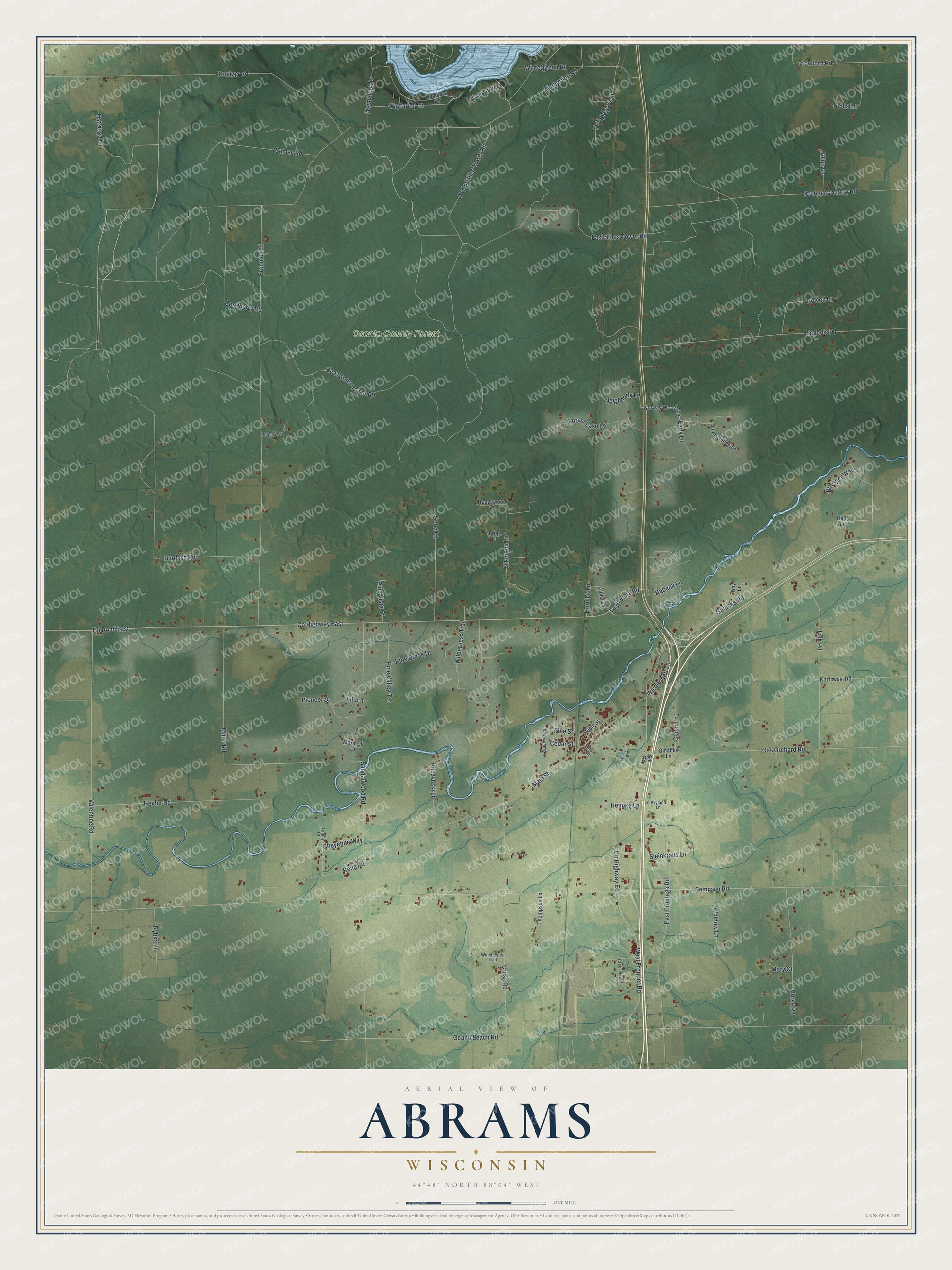
This beautifully detailed map of Abrams, Wisconsin was created in 2026 using aerial imagery combined with modern topographical, census, street and landmark data. It's a modern aerial view of Abrams in Oconto County, Wisconsin, that combines modern data with a vintage aesthetic. The roads feature printed names, and if you look closely you can find your exact house accurately shown in its correct location.
Explore an aerial view of Abrams, Wisconsin
On this map you'll find Oconto County Forest, West Slope Lane, Sampson Road, Neighborly Lane, Co Highway Ee, Timberline Road, Geano Beach Road, Co Highway East, Co Road East, West Stiles Tower Road, Brehmer Road, Sandalwood Road, and more. Each red shape is a building, so zoom in on the preview and look for yours.
Abrams is a town in Oconto County. The Census Bureau counted 1,960 people here in 2020. The map prints the town name in its title panel, with the coordinates below it.
Take a closer look at the Abrams map
Names on this map
These names are printed on this map.
Places: Oconto County Forest.
Streets and roads: West Slope Lane, Sampson Road, Neighborly Lane, County Highway Ee, Timberline Road, Geano Beach Road, County Highway East, County Road East, West Stiles Tower Road, Brehmer Road, Sandalwood Road, Burdosh Road.
More street names, A to Z
Allen Lane, Alpha Lane, Bayland Lane, Briar Court, Cedar Lane, Cedar Street, Cheyenne Way, Coralberry Road, Crawford Road, Creekview Drive, Cross Road, Dogwood Lane, Early Lane, East Frontage Road, East Stiles Tower Road, Falk Road, Forest Lake Lane, Galuska Road, Good Lane, Habeck Lane, Halla Lane, Hedgewood Court, Heider Road, Heimke Lane, Hornick Lane, Horse Road, Konitzer Road, Kozlowski Road, Kruegers Quarry Road, Kuczynski Lane, Lago Vista Road, Liegeois Road, Lils Lane, Main Street, Maple Street, Mary Court, Miller Road, Morinelli Drive, Nellis Lane, Nikodem Lane, Ninebark Road, North Stiles Tower Road, Norway Woods Lane, Oak Orchard Road, Omalley Lane, Ostrenga Lane, Pine Brook Drive, Pine Ridge Trail, Pine Street, Pine Valley Terrace, Pine Vista Court, Pioneer Drive, Reim Road, Ridgeview Court, Rowell Lane, Rybka Lane, Sot Road, South Gilbert Lane, Steinkraus Lane, Sumac Road, Thompson Lane, Tiny Lane, Town Hall Road, Trophy Court, Valentine Road, Waldow Lane, Wayfaring Lane, West Frontier Road, Whisper Way, Wickman Way, Wiedenheft Lane, Wilderness Trail, Winchester Trail, Wintergreen Road, Woodward Street.
Created by KNOWOL in 2026. The buildings are small red shapes, the roads carry their printed names, and shaded relief shows the shape of the land. The title panel reads "AERIAL VIEW OF ABRAMS WISCONSIN" with 44°48' NORTH 88°04' WEST.
It looks right in a kitchen, an office or a den, and it's a gift for anyone who grew up in Abrams or moved away. Open the preview and find your street. See sizes and frames for the Abrams map.