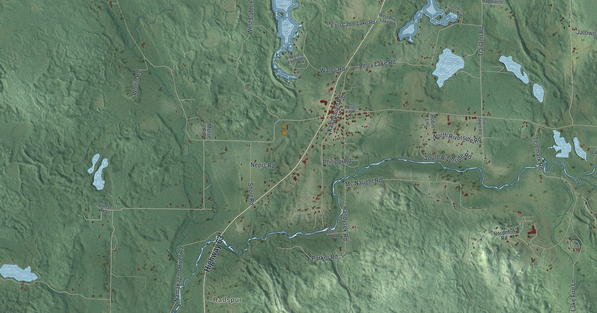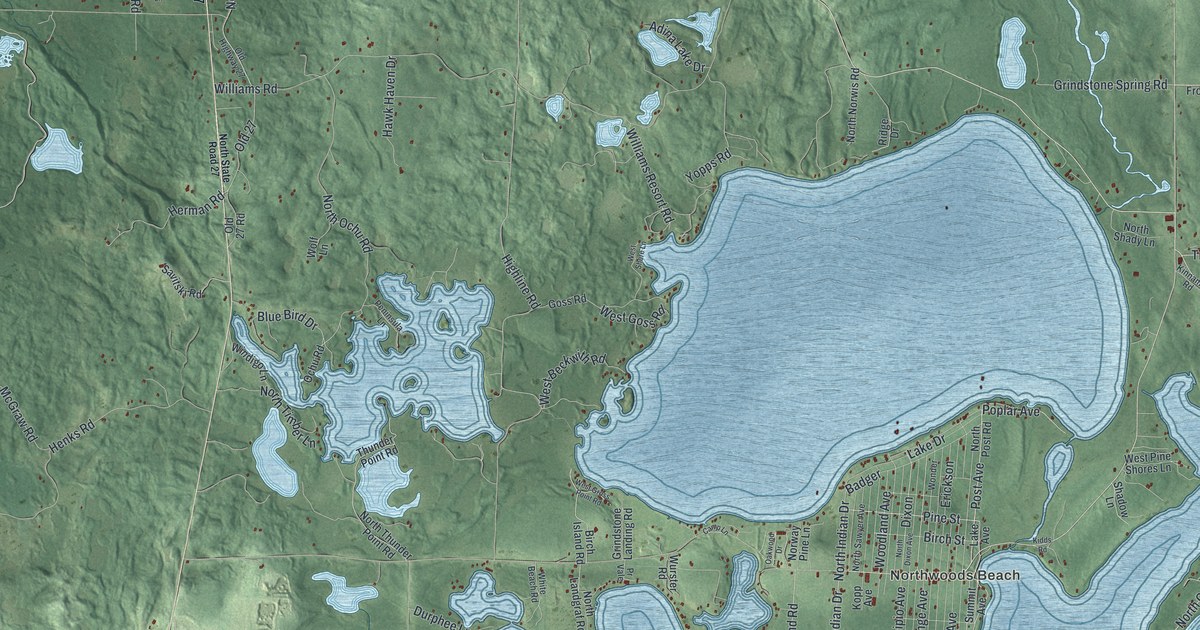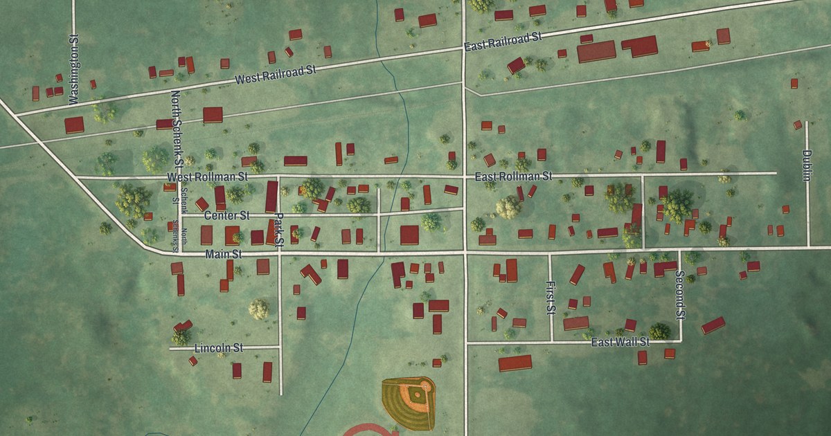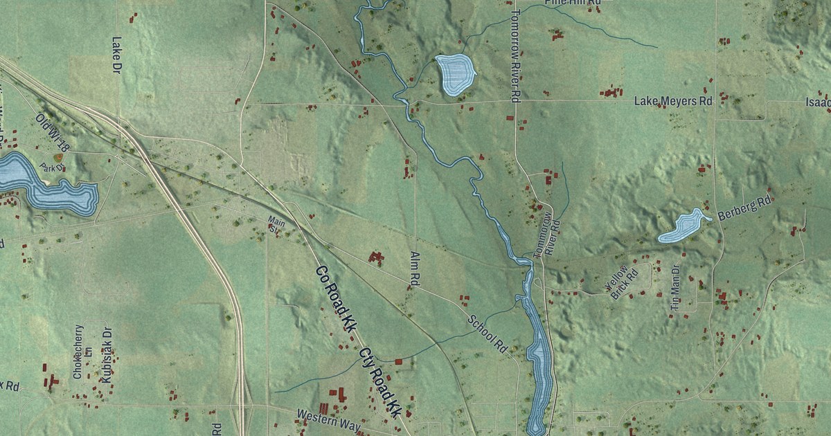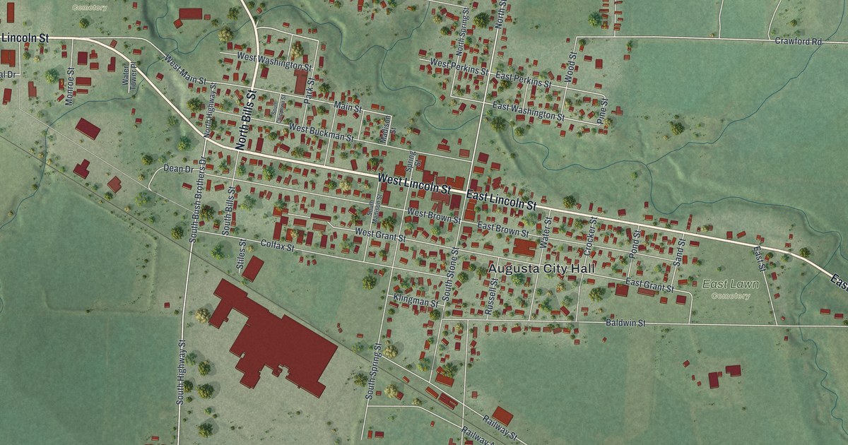
This beautifully detailed map of Augusta, Wisconsin was created in 2026 using aerial imagery combined with modern topographical, census, street and landmark data. It's a modern aerial view of Augusta in Eau Claire County, Wisconsin, that combines modern data with a vintage aesthetic. The roads feature printed names, and if you look closely you can find your exact house accurately shown in its correct location.
Explore an aerial view of Augusta, Wisconsin
On this map you'll find Augusta City Hall, East Lawn Cemetery, City Park, West Lawn Cemetery, West Lincoln Street, North Bills Street, Lincoln Street, State Road 27, East Lincoln Street, Industrial Drive, West Perkins Street, South Highway Street, and more. Each red shape is a building, so zoom in on the preview and look for yours.
Augusta has a story worth telling. The Internet Archive puts it this way: "The oldest son, Allen Randall, was
the first white child born in Eau Claire county, liaving been
born at Eau Claire, near the site of the Eau Clair Lumber Com-
pany's upper water mill, on the north side, September 13, 1852."
Augusta is a city in Eau Claire County. The Census Bureau counted 1,567 people here in 2020.
Take a closer look at the Augusta map

Names on this map
These names are printed on this map.
Places: Augusta City Hall, East Lawn Cemetery, City Park and West Lawn Cemetery.
Streets and roads: West Lincoln Street, North Bills Street, Lincoln Street, State Road 27, East Lincoln Street, Industrial Drive, West Perkins Street, South Highway Street, West Main Street, East Washington Street, West Washington Street, Pine Street.
More street names, A to Z
Airport Road, Anderson Street, Baldwin Street, Bartig Road, Bills Street, Colfax Street, Crawford Road, Crocker Street, Dean Drive, East Brown Street, East Grant Street, East Perkins Street, East Street, Hudson Street, Klingman Street, Madison Street, Main Street, Monroe Street, North Highway Street, North Spring Street, North Stone Street, Park Street, Pease Street, Pond Street, Railway Avenue, Railway Street, Rolling Hills Drive, Russell Street, Sand Street, Sandy Hill Drive, South Bills Street, South Bush Brothers Drive, South Chippewa Street, South Madison Street, South Spring Street, South Stone Street, Spring Street, Stiles Street, Water Street, Water Tower Place, West Brown Street, West Buckman Street, West Grant Street, Witte Road, Wood Street.
Created by KNOWOL in 2026. The buildings are small red shapes, the roads carry their printed names, and shaded relief shows the shape of the land. The title panel reads "AERIAL VIEW OF AUGUSTA WISCONSIN" with 44°41' NORTH 91°07' WEST.
It looks right in a kitchen, an office or a den, and it's a gift for anyone who grew up in Augusta or moved away. Open the preview and find your street. See sizes and frames for the Augusta map.