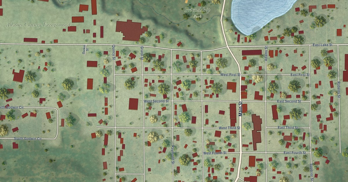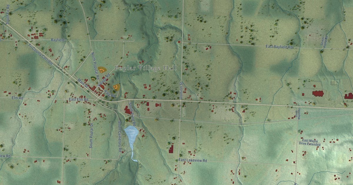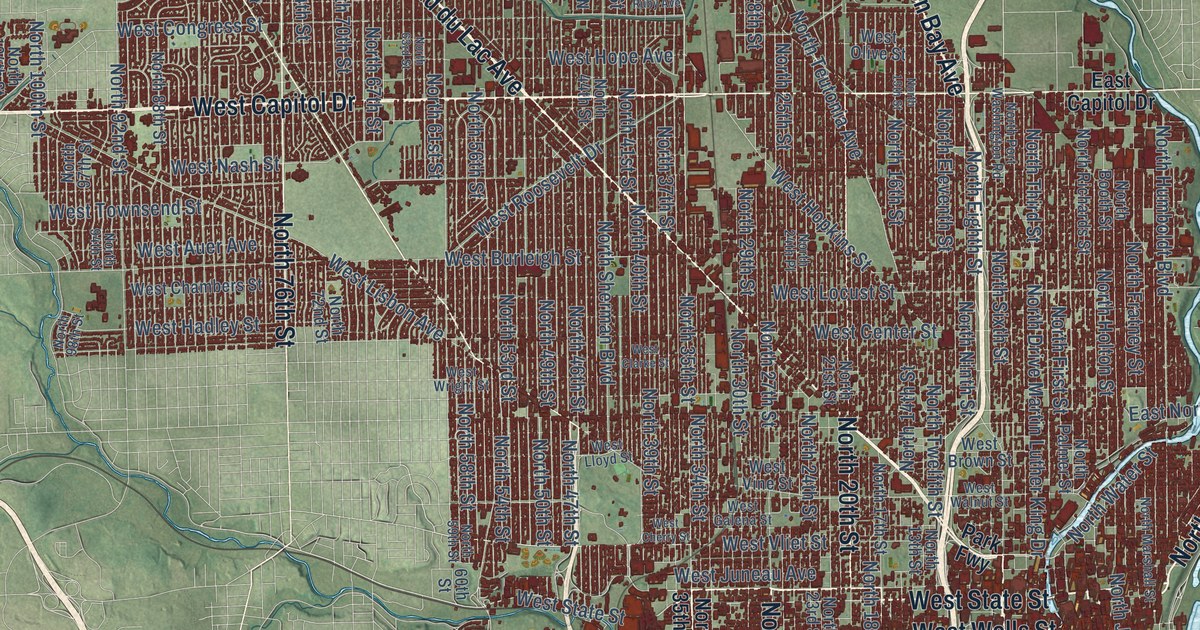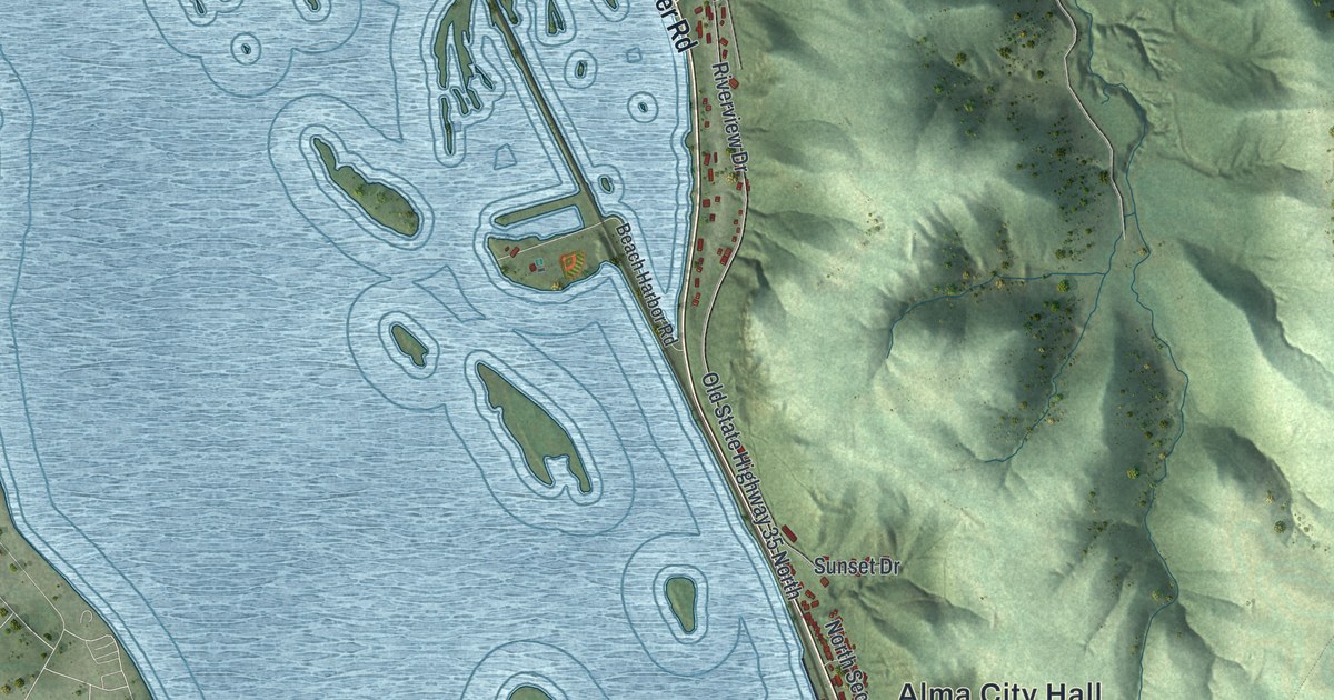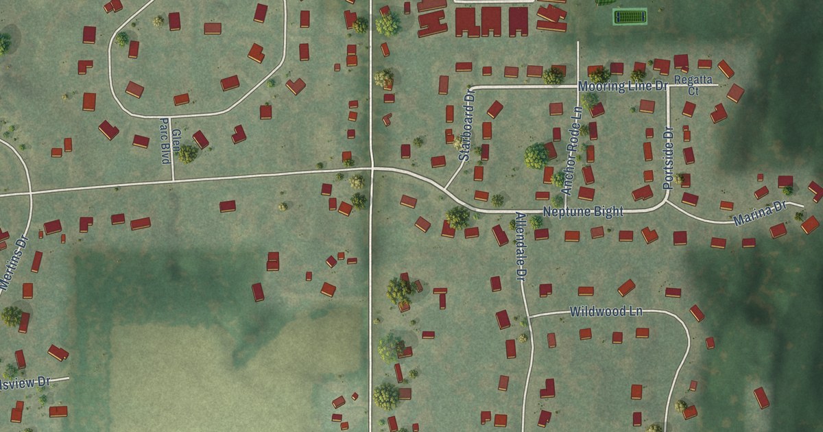
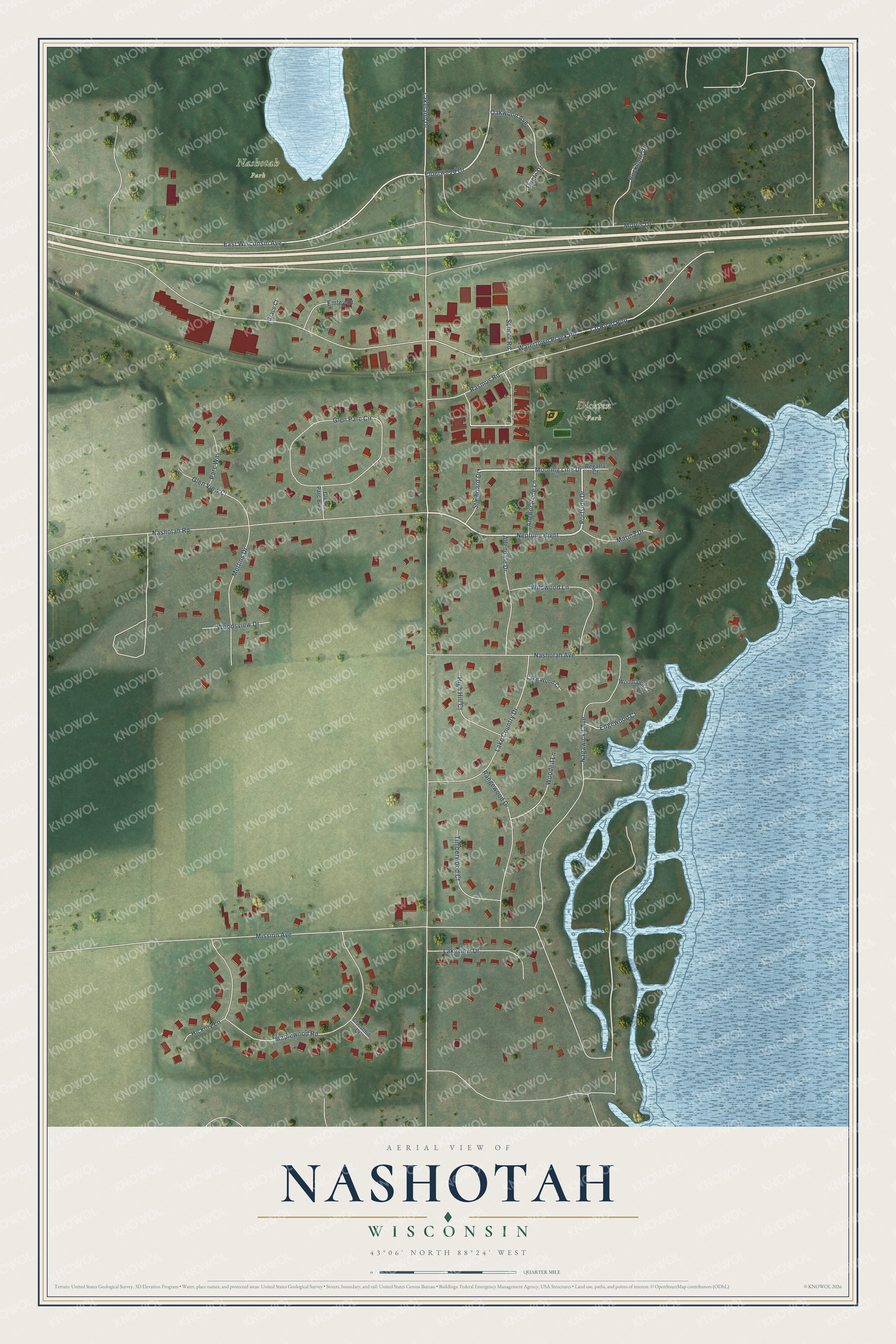
This beautifully detailed map of Nashotah, Wisconsin was created in 2026 using aerial imagery combined with modern topographical, census, street and landmark data. It's a modern aerial view of Nashotah in Waukesha County, Wisconsin, that combines modern data with a vintage aesthetic. The roads feature printed names, and if you look closely you can find your exact house accurately shown in its correct location.
Explore an aerial view of Nashotah, Wisconsin
On this map you'll find Dickten Park, Nashotah Park, Neptune Bight, Elderwood Drive, Mooring Line Drive, Portside Drive, Lakeland Drive, Watertown Plank Road, Nagawicka Avenue, Mission Avenue, Co Road Ppp, Morris Drive, and more. Each red shape is a building, so zoom in on the preview and look for yours.
Every town has a first chapter, and Nashotah is no exception. The Historical Marker Database puts it this way: "Inspired by Bishop Jackson Kemper, James Lloyd Breck and his companions founded Nashotah Mission as a center for the Episcopal Church’s work in Wisconsin Territory."
Nashotah is a village in Waukesha County. The Census Bureau counted 1,321 people here in 2020.
Take a closer look at the Nashotah map
Names on this map
These names are printed on this map.
Places: Dickten Park and Nashotah Park.
Streets and roads: Neptune Bight, Elderwood Drive, Mooring Line Drive, Portside Drive, Lakeland Drive, Watertown Plank Road, Nagawicka Avenue, Mission Avenue, County Road Ppp, Morris Drive, East Wisconsin Avenue, Nashotah Road.
More street names, A to Z
Allendale Drive, Anchor Rode Lane, Buckhorn Drive, Chestnut Court, Circle Drive, Edgewood Court, Emley Drive, Glen Parc Boulevard, Glen Parc Circle, Glen View Court, Grace Court, Hickory Lane, High Hill Court, Lake Country Drive, Lakeview Drive, Lake Wood Court, Maplewood Road, Marina Drive, Mertins Drive, Nashotah Avenue, Oakwood Avenue, Parc Way, Rangewood Drive, Rasmus Road, Regatta Court, School Road, Starboard Drive, Timberwood Court, Wildwood Lane, Wooded Lane, Woodlawn Court, Woodsview Drive.
Created by KNOWOL in 2026. The buildings are small red shapes, the roads carry their printed names, and shaded relief shows the shape of the land. The title panel reads "AERIAL VIEW OF NASHOTAH, WISCONSIN" with 43°06' NORTH 88°24' WEST.
Hang it in the hallway, the office or the cabin, or give it to someone who left Nashotah and still calls it home. Open the preview and look for a street you know. See sizes and frames for the Nashotah map.