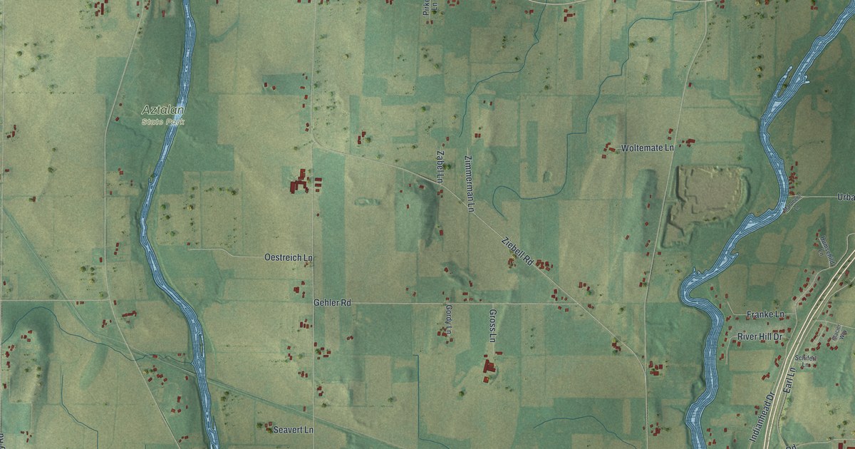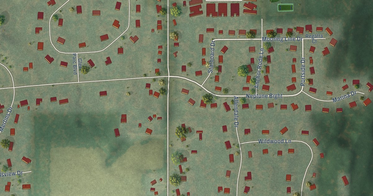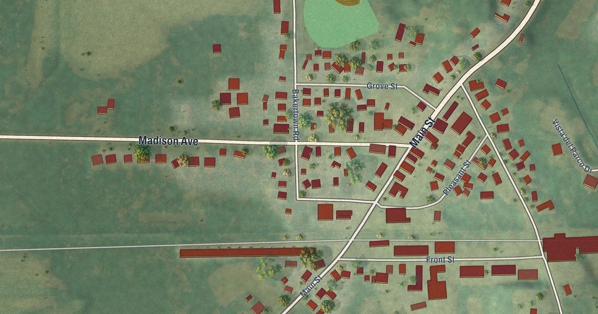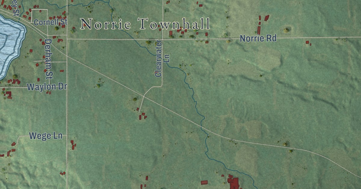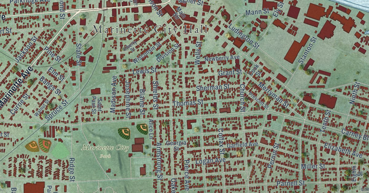
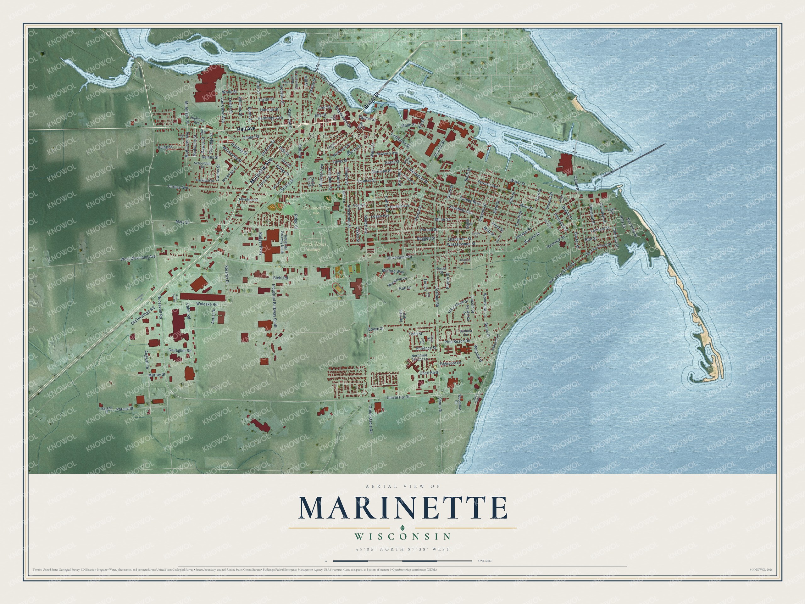
This beautifully detailed map of Marinette, Wisconsin was created in 2026 using aerial imagery combined with modern topographical, census, street and landmark data. It’s a one-of-a-kind view of Marinette that combines accurate data with a vintage aesthetic. The map shows every building in its true location, many of the roads carry their names, and the shaded topographic relief shows the shape of the land.
Explore an aerial view of Marinette, Wisconsin
On the map you’ll find Marinette City Hall, Forest Home Cemetery, and Marinette City Park, along with Hall Avenue, Bridge Street, Marinette Avenue, Church Street, West Hosmer Street, Redpath Drive, West Bay Shore Street, Hosmer Street, Russell Street, and more. If you look closely you can even find your house accurately drawn in its correct location. Zoom in on the preview to look for yours.
Did you know this piece of Marinette, Wisconsin history?
From the Milwaukee Road Depot historical marker: "The Marinette Train Depot was constructed by the Chicago Milwaukee and St. Paul Railroad in 1903 to replace an earlier depot which dated to the 1880's."
Take a closer look at the Marinette map
Street and place names on the Marinette, Wisconsin map
These names are printed on the map of Marinette, Wisconsin.
Places: Marinette City Hall, Forest Home Cemetery and Marinette City Park.
Streets and roads: Bridge Street, Hall Avenue, Marinette Avenue, West Bay Shore Street, Redpath Drive, Ogden Street, Church Street, Boren Drive, Carney Avenue, Lincoln Street, Ridge Street, Cleveland Avenue.
More street names, A to Z
26 Street, Aerial Drive, Alice Lane, Alimeda Street, Angwall Drive, Armstrong Street, Badger Parkway, Bangs Street, Barbara Lane, Baxter Street, Bay View Street, Biehl Road, Bird Street, Blaine Street, Burns Street, Cahill Road, Carney Boulevard, Cheri Boulevard, Chestnut Street, Colfax Street, Cook Street, Coolidge Street, County Road Bb, Court Street, Currie Street, Cushman Street, Daggett Street, Dawes Street, Daws Street, Division Street, Dousman Street, East Bay Shore Street, East Market Street, Edgewood Circle, Edwin Street, Eggner Street, Eighth Street, Elizabeth Avenue, Ella Court, Elm Street, Ely Street, Fifth Street, First Street, Florence Street, Forest Street, Fourth Street, Fred Street, Frontage Road, Gallagher Road, Garfield Avenue, Georgia Street, Gilbert Street, Gilmore Street, Gladstone Street, Grant Street, Green Gable Road, Hancock Street, Hannah Street, Harbor Terrace Lane, Harding Street, Hattie Street, Highland Avenue, High Street, Hills Court, Hockridge Street, Hosmer Street, Houston Street, Industrial Parkway North, Industrial Parkway South, Irving Street, Jackson Street, Jacobson Street, James Street, Josephine Street, Kati Lane, Lake Street, Leonard Street, Lester Street, Lewis Street, Liberty Street, Logan Avenue, Ludington Street, Madison Avenue, Main Str, Main Street, Mallard Way, Mann Street, Mary Street, McAllister Avenue, McAllister Street, Merchant Street, Merryman Street, Michaelis Street, Miller Street, Mill Street, Minnesota Street, Mott Street, Murray Street, Na-Wa-Ka Drive, Newberry Avenue, Ninth Street, Nora Lane, Northland Terrace Lane, North Raymond Street, Oakes Street, Oak View Road, Old Peshtigo Road, Owena Street, Parcek Street, Parkdale Drive, Parkridge Avenue, Park Street, Parnell Street, Parsek Street, Paul Street, Pernin Street, Pierce Avenue, Pine Beach Road, Pine Street, Pine Tree Road, Point Street, Prairie Street, Prescott Street, Raymond Street, Redpath Lane, Reines Street, Riverside Avenue, Roosevelt Road, Russell Street, Saint Paul Street, Schooldale Drive, Second Street, Seventh Street, Sherman Street, Shields Street, Shing Wa Uk Drive, Shore Drive, Sixth Street, Spruce Street, Stanton Street, State Street, Stearns Drive, Stephenson Street, Taylor Street, Tenth Street, Terrace Avenue, Third Street, Thomas Street, Todd Street, Tori Lane, Union Street, University Drive, Van Cleve Avenue, Waldo Street, Walnut Street, Water Street, Watson Court, Wells Street, West Cleveland Avenue, West Hosmer Street, White Street, Williams Street, Wisconsin Street, Woleske Road, Woodland Road, Woodside Circle, Woodview Lane.
See the Marinette, Wisconsin map on a wall
The Marinette map as an 18 x 24 inch print in a black frame.

This beautifully detailed map of Marinette makes an attractive addition to your office, library, or den, and it can even be used to teach children the geography and history of the area. It also makes a great gift for anyone who grew up in Marinette or moved away. When you’re done exploring, click here to get your copy of the Marinette map.