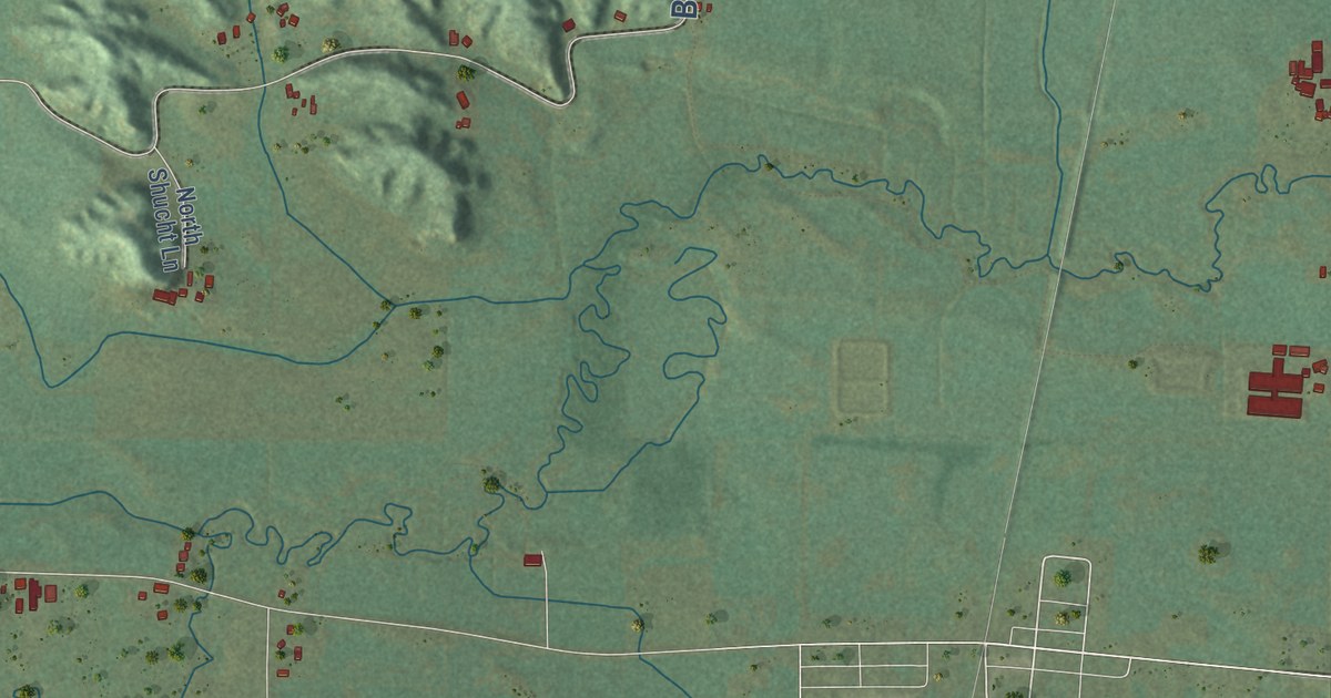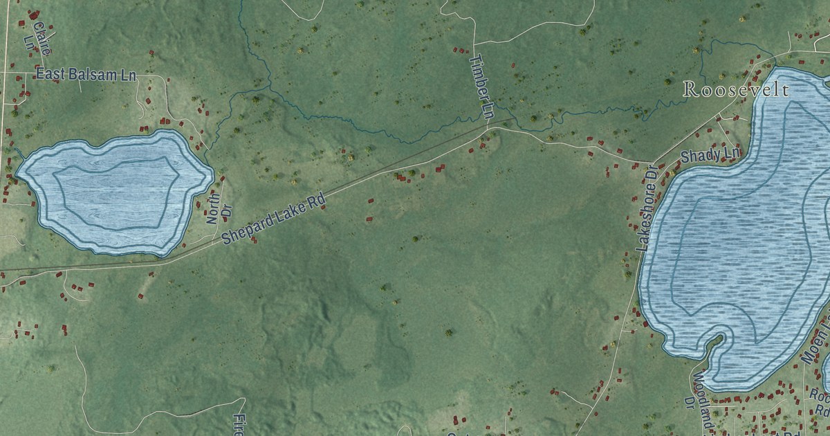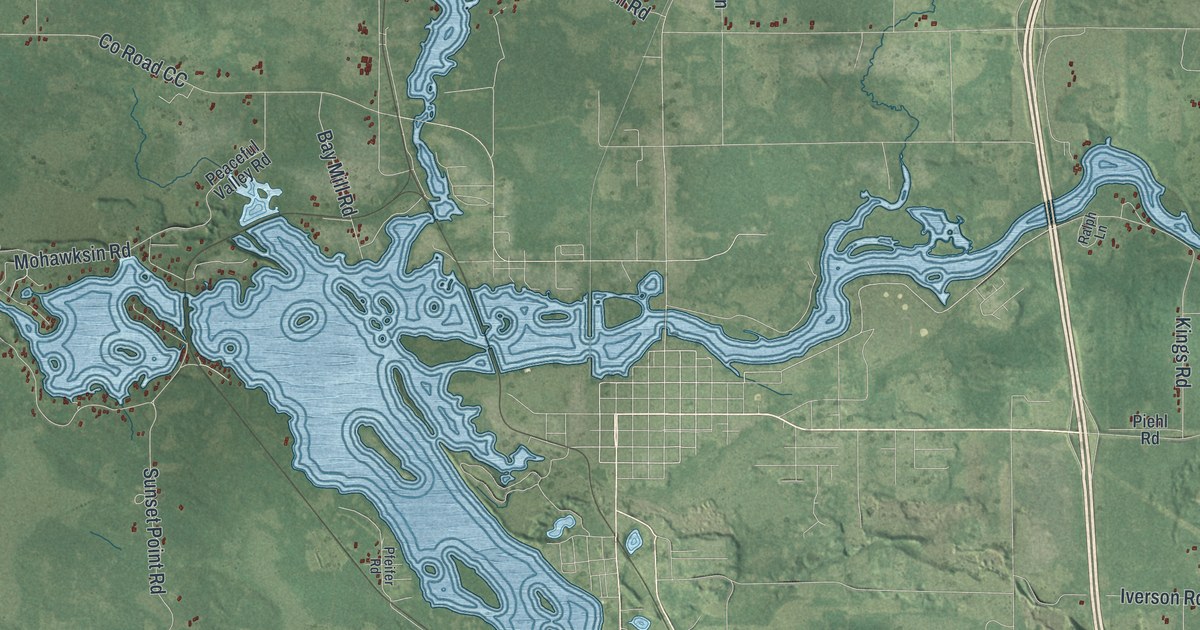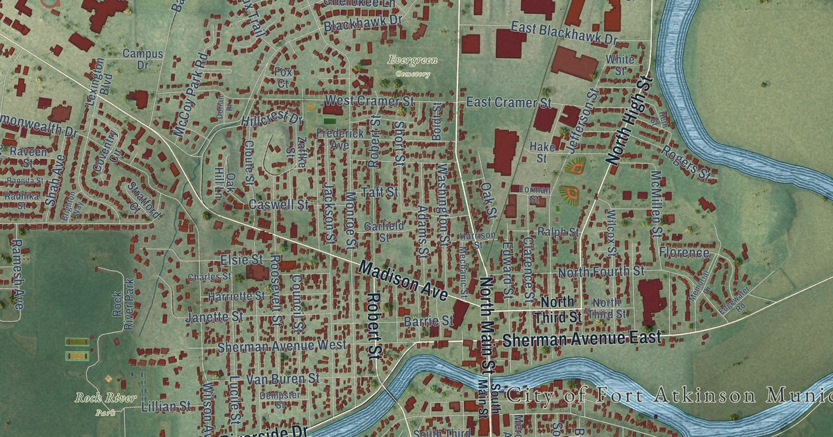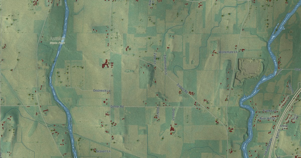
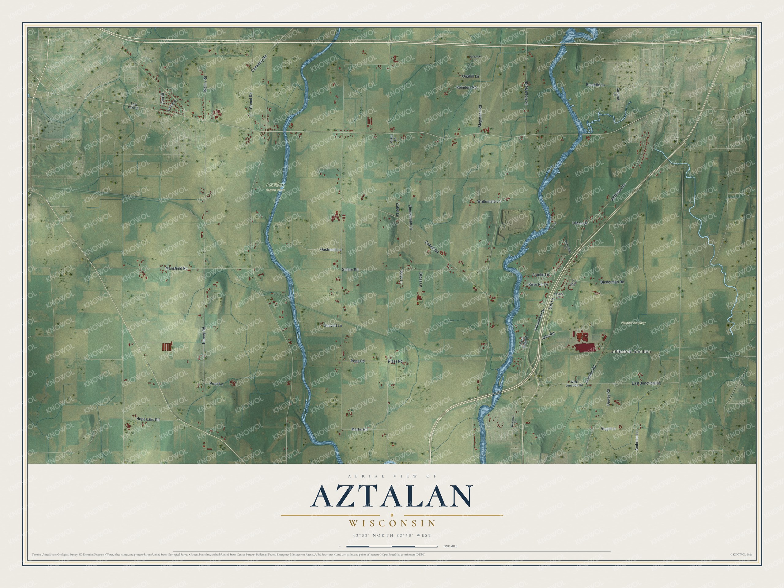
This beautifully detailed map of Aztalan, Wisconsin was created in 2026 using aerial imagery combined with modern topographical, census, street and landmark data. It’s a one-of-a-kind view of Aztalan that combines accurate data with a vintage aesthetic. The map shows every building in its true location, many of the roads carry their names, and the shaded topographic relief shows the shape of the land.
Explore an aerial view of Aztalan, Wisconsin
On the map you’ll find Jefferson Junction, Aztalan State Park, and Fischer Property, along with Ziebell Road, Harvey Road, Popp Road, Earl Lane, Indianhead Drive, Jefferson Road, Mansfield Road, Gehler Road, and more. If you look closely you can even find your house accurately drawn in its correct location. Zoom in on the preview to look for yours.
Did you know this piece of Aztalan, Wisconsin history?
From Clio: "By 1900, Aztalan, once considered as a site for the state capital, was a ghost town at a quiet country crossroad."
Take a closer look at the Aztalan map
Street and place names on the Aztalan, Wisconsin map
These names are printed on the map of Aztalan, Wisconsin.
Places: Jefferson Junction, Aztalan State Park and Fischer Property.
Streets and roads: County Road North, Ziebell Road, Harvey Road, Popp Road, Earl Lane, Indianhead Drive, Jefferson Road, Mansfield Road, Gehler Road, Martin Road, Riess Road, Gomol Road.
More street names, A to Z
Ambrose Lane, Ann Street, Biederman Road, Boutelle Lane, Cemetery Road, Dewey Road, East Junction Road, East Lake Street, Felson Ridge Court, Franke Lane, Glacier Way, Gordy Lane, Gosdeck Lane, Gross Lane, Harold Street, Hope Lake Road, Humschild Lane, Jahn Road, Junction Road, Marobehl Lane, Oestreich Lane, Olszewski Lane, Onahill Lane, Pirkel Lane, Prust Lane, Reinders Road, River Hill Drive, Schiferl Lane, Seavert Lane, Siegmann Road, Urban Drive, Vogel Lane, Watertown Road, West Junction Road, Wollin Road, Woltemate Lane, Zabel Lane, Zimmerman Lane.
See the Aztalan, Wisconsin map on a wall
The Aztalan map as an 18 x 24 inch print in a black frame.

This beautifully detailed map of Aztalan makes an attractive addition to your office, library, or den, and it can even be used to teach children the geography and history of the area. It also makes a great gift for someone who left Aztalan and still calls it home. When you’re done exploring, click here to get your copy of the Aztalan map.