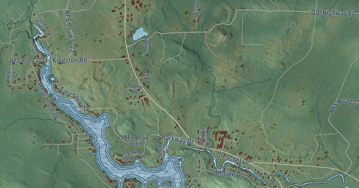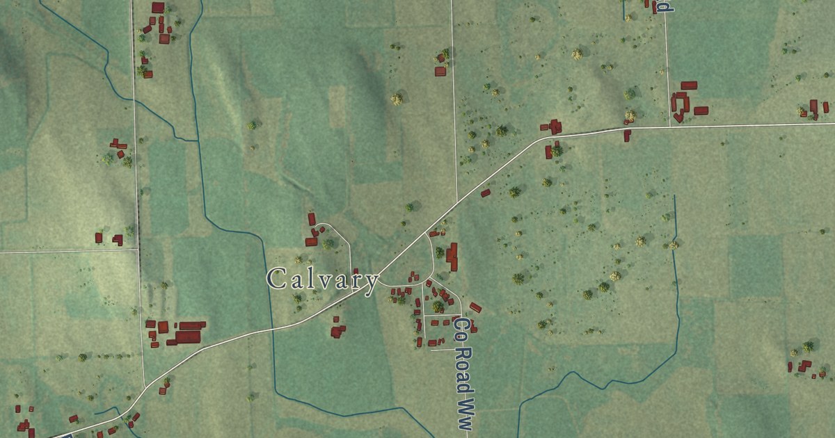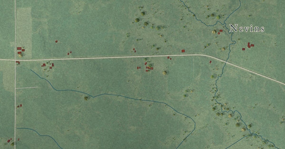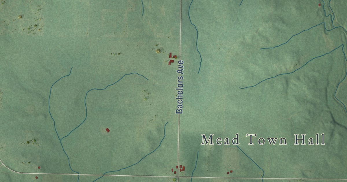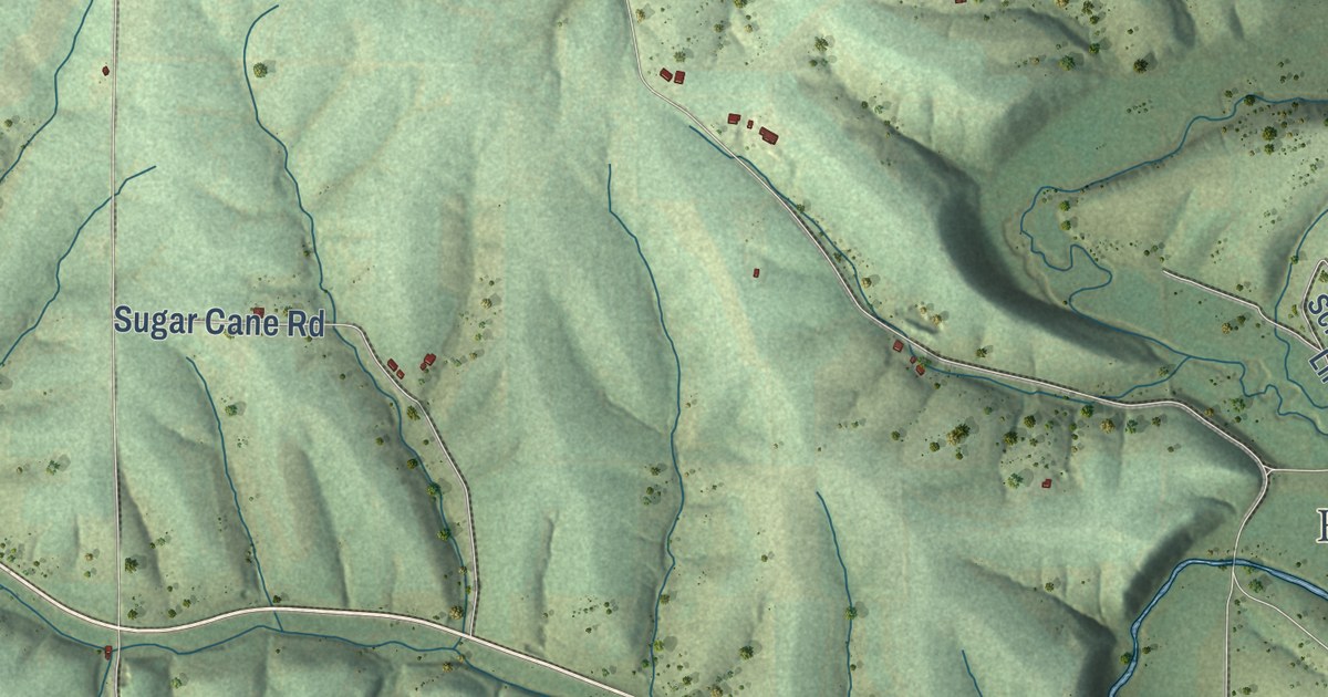
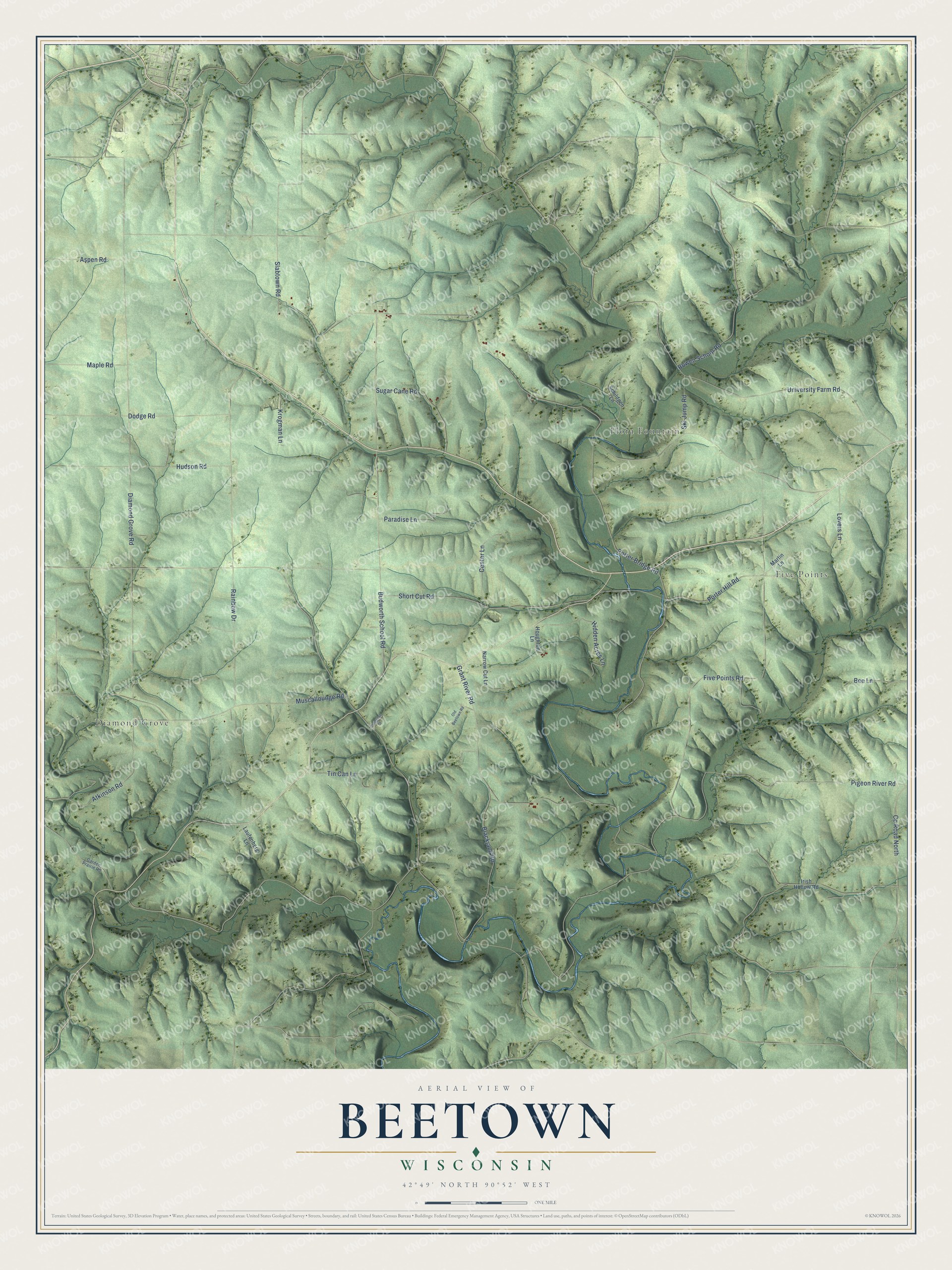
This beautifully detailed map of Beetown, Wisconsin was created in 2026 using aerial imagery combined with modern topographical, census, street and landmark data. It’s a one-of-a-kind view of Beetown that combines accurate data with a vintage aesthetic. The map shows every building in its true location, many of the roads carry their names, and the shaded topographic relief shows the shape of the land.
Explore an aerial view of Beetown, Wisconsin
On the map you’ll find Diamond Grove, Five Points, and Flora Fountain, along with Porter Hill Road, Slabtown Road, Diamond Grove Road, Five Points Road, Short Cut Road, Budworth School Road, Grant River Road, Porter Bridge Road, University Farm Road, and more. If you look closely you can even find your house accurately drawn in its correct location. Zoom in on the preview to look for yours.
Did you know this piece of Beetown, Wisconsin history?
Cyrus Alexander, Tom Crocker, Jim Meredith and Curtis Cadwell were out hunting for bees. They found a large hollow maple tree that had tipped over. Under its roots lay a chunk of lead ore weighing 425 pounds. The find became the Bee Lead, and Beetown took its name from it. That’s from the 1881 History of Grant County.
Take a closer look at the Beetown map
Street and place names on the Beetown, Wisconsin map
These names are printed on the map of Beetown, Wisconsin.
Places: Diamond Grove, Five Points and Flora Fountain.
Streets and roads: Porter Hill Road, Slabtown Road, Diamond Grove Road, University Farm Road, Five Points Road, Short Cut Road, Pigeon River Road, Budworth School Road, Grant River Road, Porter Bridge Road, Muscallounge Road, Dodge Road.
More street names, A to Z
Aspen Road, Atkinson Road, Bee Lane, Blackjack Road, Bowen School Road, Center Lane, Congress Street, County Road North, Garden Prairie Road, Hidden Acres Lane, Houghton Lane, Hudson Road, Irish Hollow Road, Krogman Lane, Laufenberg Lane, Lovers Lane, Maple Road, Martin Lane, Narrow Cut Lane, Old Beetown Road, Paradise Lane, Rainbow Drive, Schildgen Lane, Ski Jump Road, Sugar Cane Road, Tin Can Lane.
See the Beetown, Wisconsin map on a wall
The Beetown map as an 18 x 24 inch print in a black frame.

This beautifully detailed map of Beetown makes an attractive addition to your office, library, or den, and it can even be used to teach children the geography and history of the area. It also makes a great gift for someone who left Beetown and still calls it home. When you’re done exploring, click here to get your copy of the Beetown map.