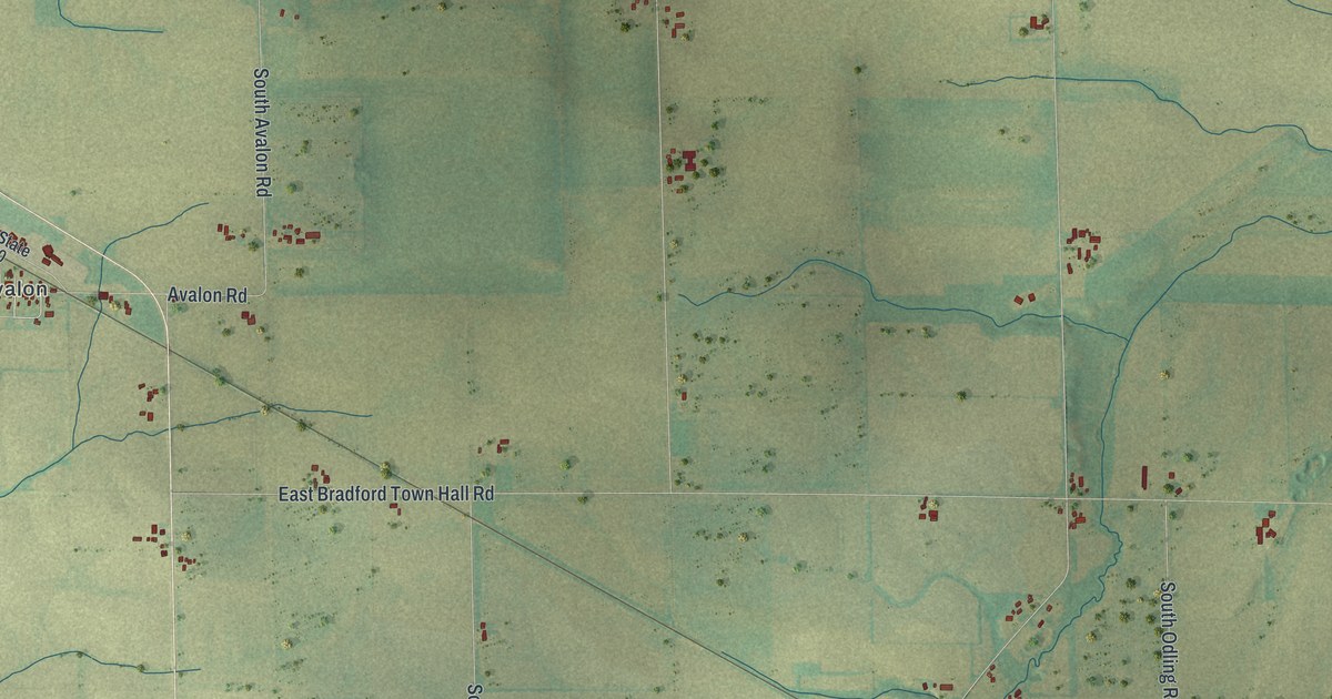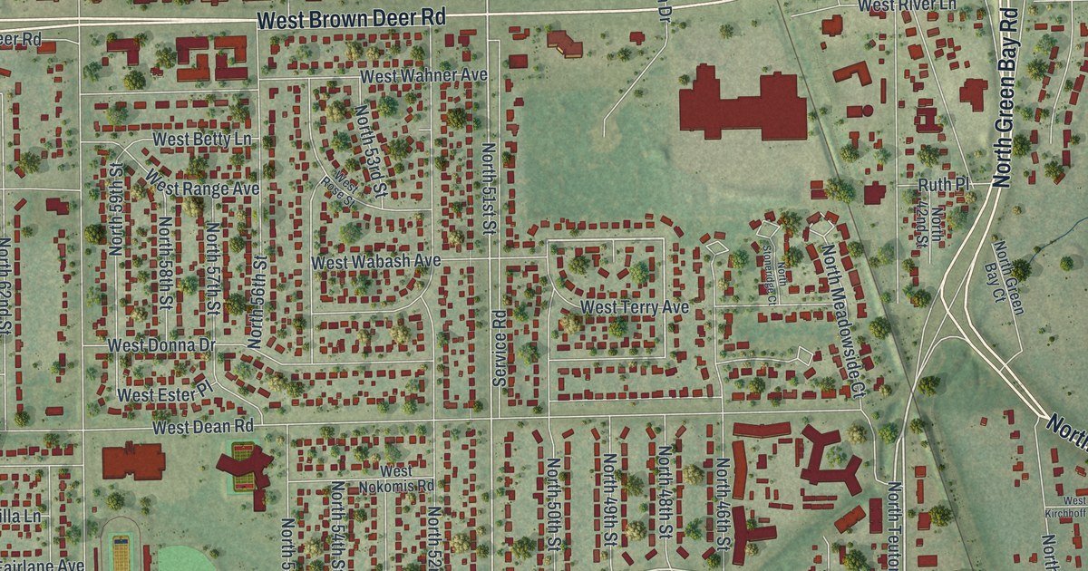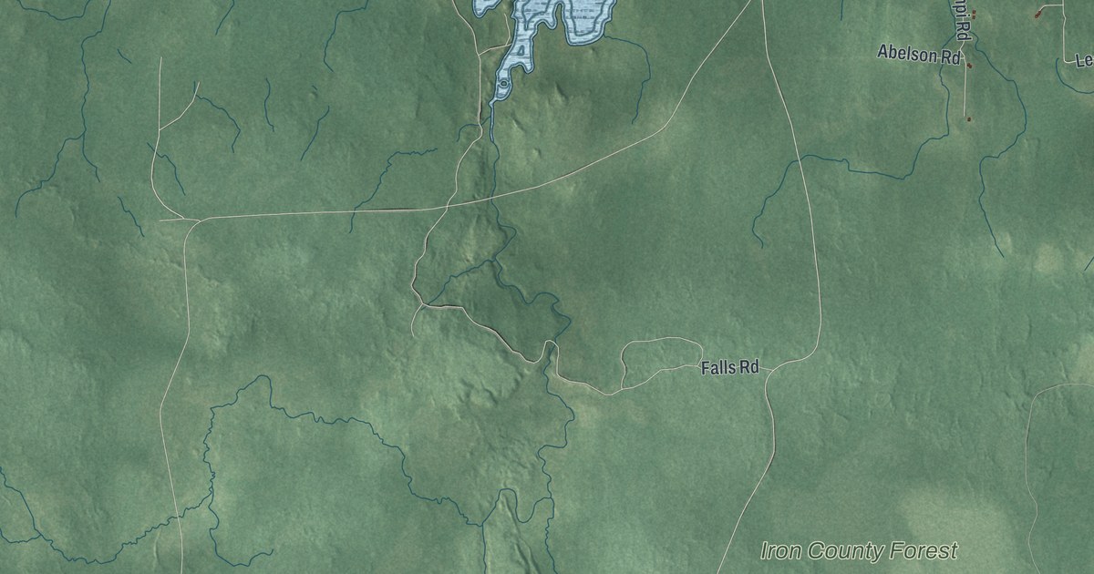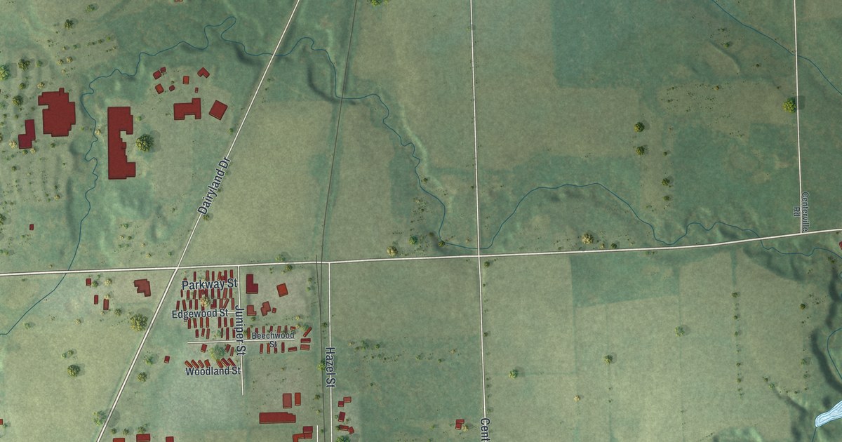
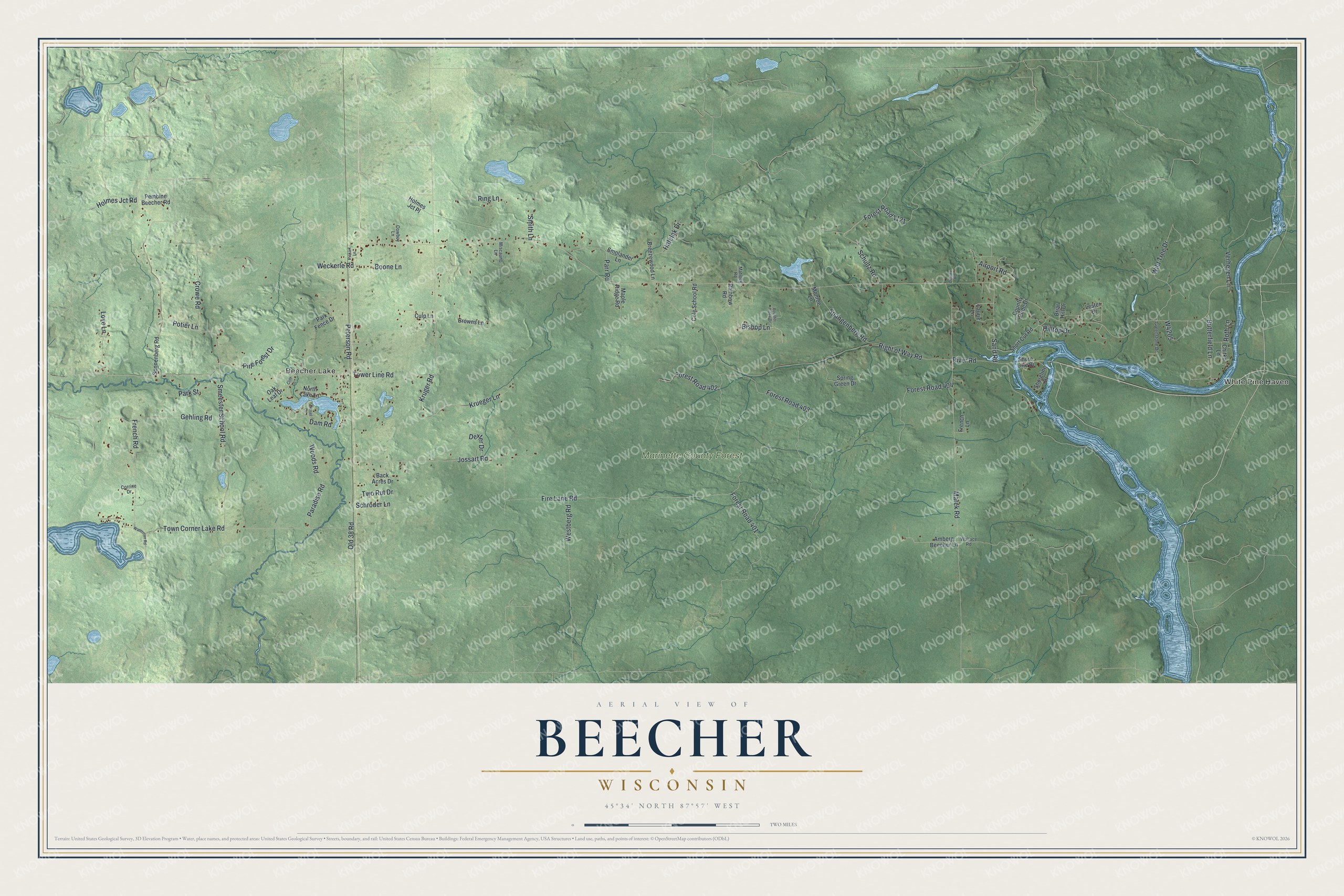
This beautifully detailed map of Beecher, Wisconsin was created in 2026 using aerial imagery combined with modern topographical, census, street and landmark data. It's a modern aerial view of Beecher in Marinette County, Wisconsin, that combines modern data with a vintage aesthetic. The roads feature printed names, and if you look closely you can find your exact house accurately shown in its correct location.
Explore an aerial view of Beecher, Wisconsin
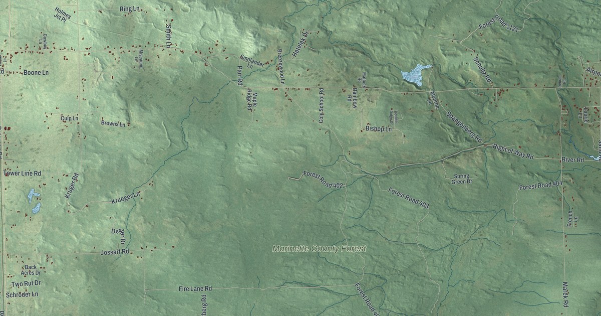
On this map you'll find White Pine Haven, Beecher Lake, Marinette County Forest, Forest Road 1121, Hilltop Drive, Fire Lane Road, Crowe Road, Right of Way Road, Town Corner Lake Road, Marek Road, Tower Line Road, Forest Road 403, and more. Each red shape is a building, so zoom in on the preview and look for yours.
Beecher is a town in Marinette County. The Census Bureau counted 786 people here in 2020. The map prints the town name in its title panel, with the coordinates below it.
Take a closer look at the Beecher map
Names on this map
These names are printed on this map.
Places: White Pine Haven, Beecher Lake and Marinette County Forest.
Streets and roads: Forest Road 1121, Hilltop Drive, Fire Lane Road, Crowe Road, Right of Way Road, Town Corner Lake Road, Marek Road, Tower Line Road, Forest Road 403, River Road, Jossart Road, Weckerle Road.
More street names, A to Z
Airport Road, Amberg Beecher Lane, Back Acres Drive, Bishop Lane, Boone Lane, Boulder Ridge Drive, Breezewood Lane, Briar Hill Drive, Brosel Lane, Browns Lane, Butterfield Lane, Chitko Lane, Cliff Lane, Cole School Road, Corrine Drive, Country Pride Drive, Cowboy Lane, Culp Lane, Dam Road, Debree Road, Dexter Drive, Forest Road 401, Forest Road 402, Forest Road 404, French Lane, French Road, Gehling Road, Greenstone Drive, Hatelak Drive, Holmes Jct Place, Holmes Jct Road, Krueger Lane, Kruger Road, Laurie Lane, Lester Drive, Love Lane, Maple Ridge Road, Matlock Road, Miscauno Lane, Monroe Lane, North Lake Lane, Oak Leaf Drive, Old 38 Road, Paradise Road, Park Fence Drive, Park Street, Parr Road, Pembine Beecher Road, Peterson Road, Pine Forest Drive, Pinkart Lane, Potier Lane, Rainbow Road, Ring Lane, Roth Lane, Sand Road, Schroder Lane, Schultz Road, Shore Line Drive, Shoreline Drive, Short Cut Road, Smeester School Road, Smith Lane, Smolander Lane, Sonnenberg Road, Spangenberg Road, Spring Green Drive, Two Rut Drive, Verheyen Lane, Wallace Road, Waterman Road, Westberg Road, Wild Tree Drive, Woods Road.
Created by KNOWOL in 2026. The buildings are small red shapes, the roads carry their printed names, and shaded relief shows the shape of the land. The title panel reads "AERIAL VIEW OF BEECHER WISCONSIN" with 45°34' NORTH 87°57' WEST.
Hang it in the hallway, the office or the cabin, or give it to someone who left Beecher and still calls it home. Open the preview and look for a street you know. See sizes and frames for the Beecher map.